Elevation of Rang Longue-Pointe, Saint-Malachie, QC G0R 3N0, Canada
Location: Canada > Québec > Bellechasse Regional County Municipality > Saint-malachie > Saint-malachie >
Longitude: -70.812700
Latitude: 46.5449508
Elevation: 213m / 699feet
Barometric Pressure: 99KPa
Elevation Map:
Satellite Map:
Related Photos:

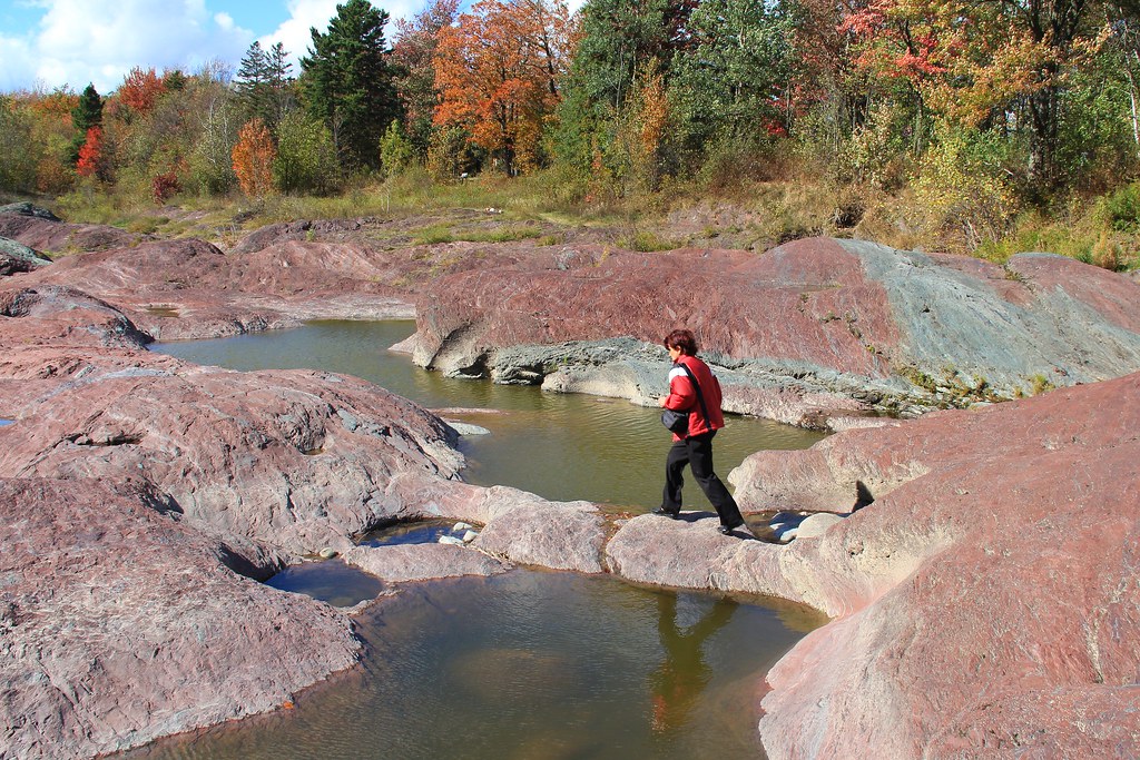
Chutes Rouillard 003
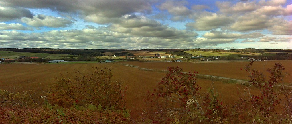
champs d automne

Chutes Rouillard 007
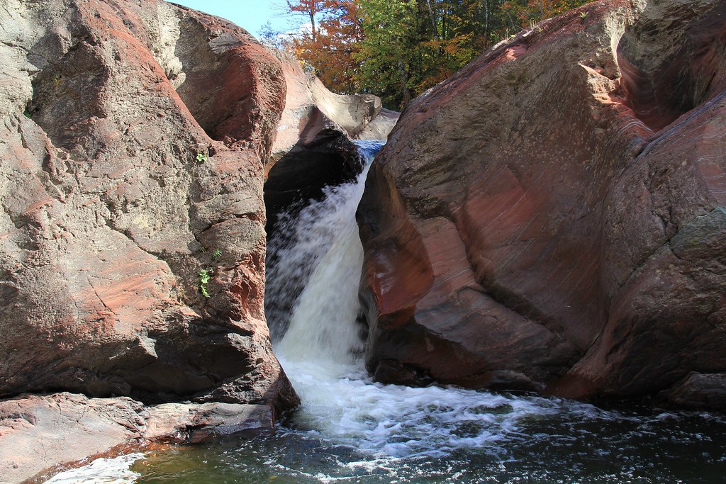
Chutes Rouillard 009

Chutes Rouillard 008
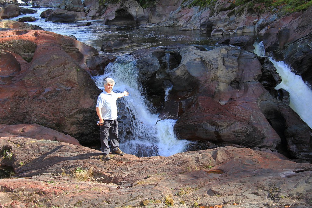
Chutes Rouillard 004
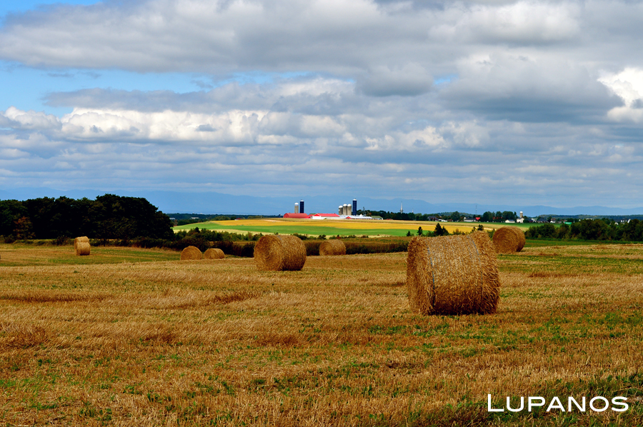
Fin des récoltes
Just a touch of red...
Just eating ...
I can hardly see you...
Taking a nap...
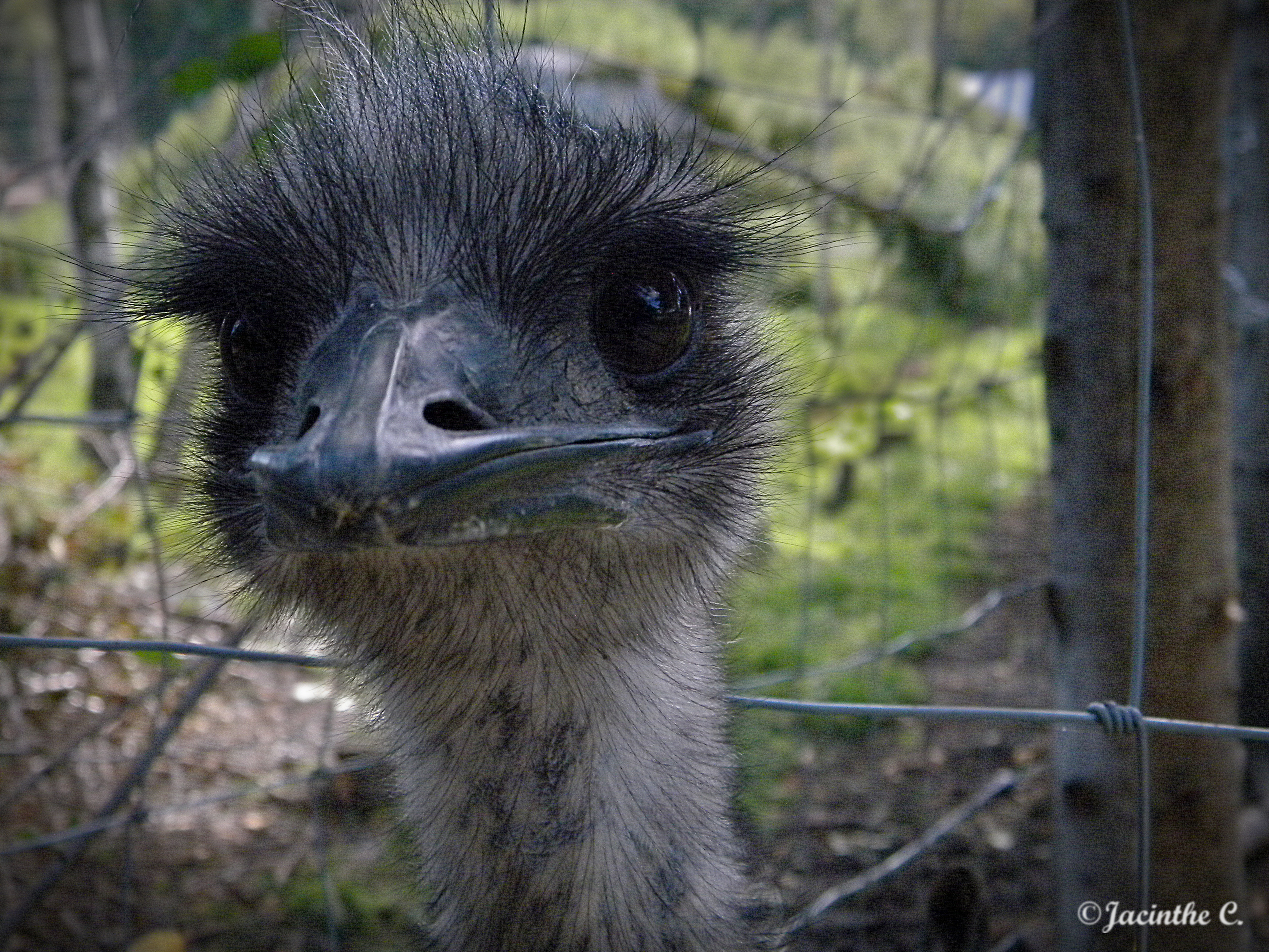
Surprise ! It's me ! :-)
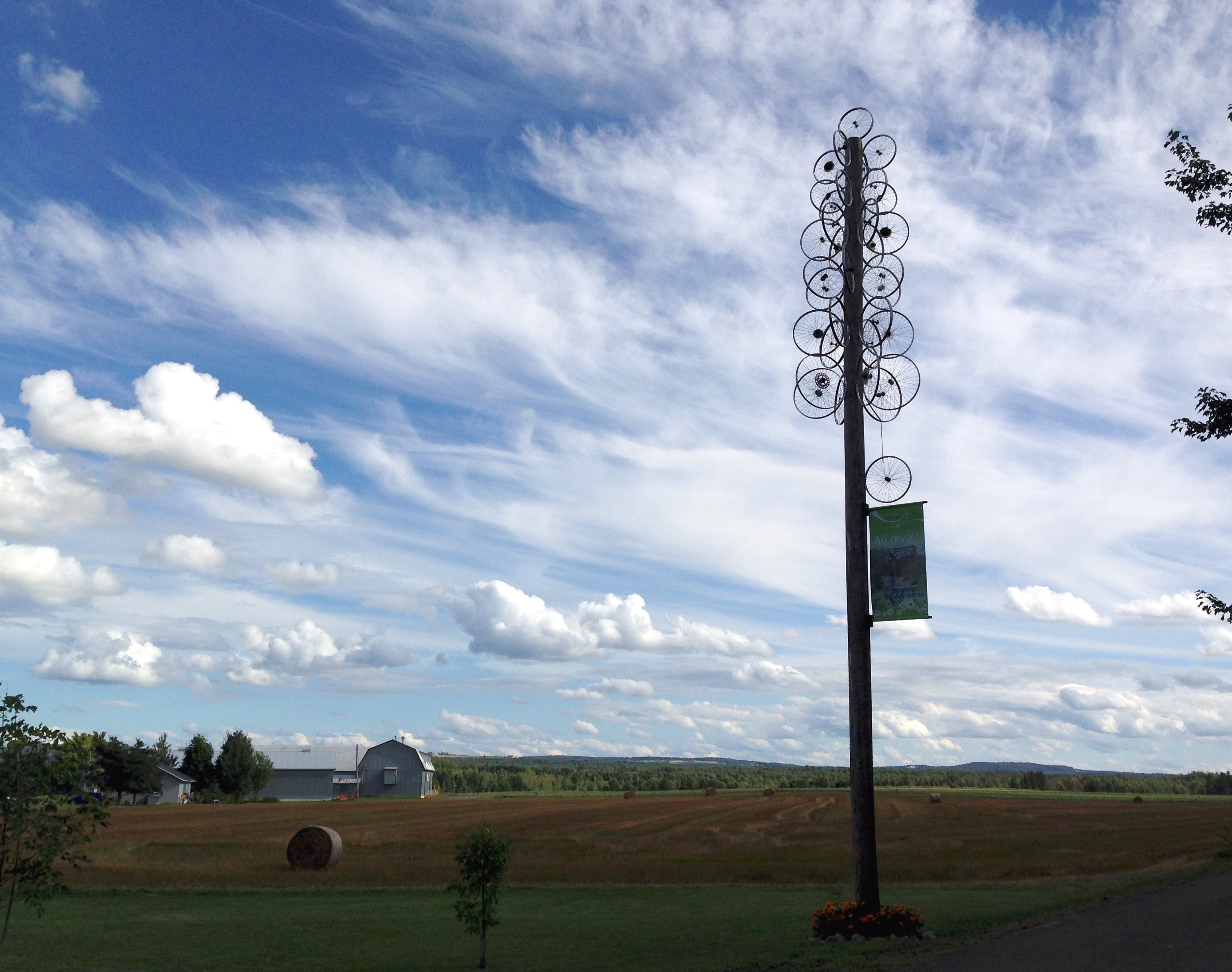
Cycloroute de Bellechasse
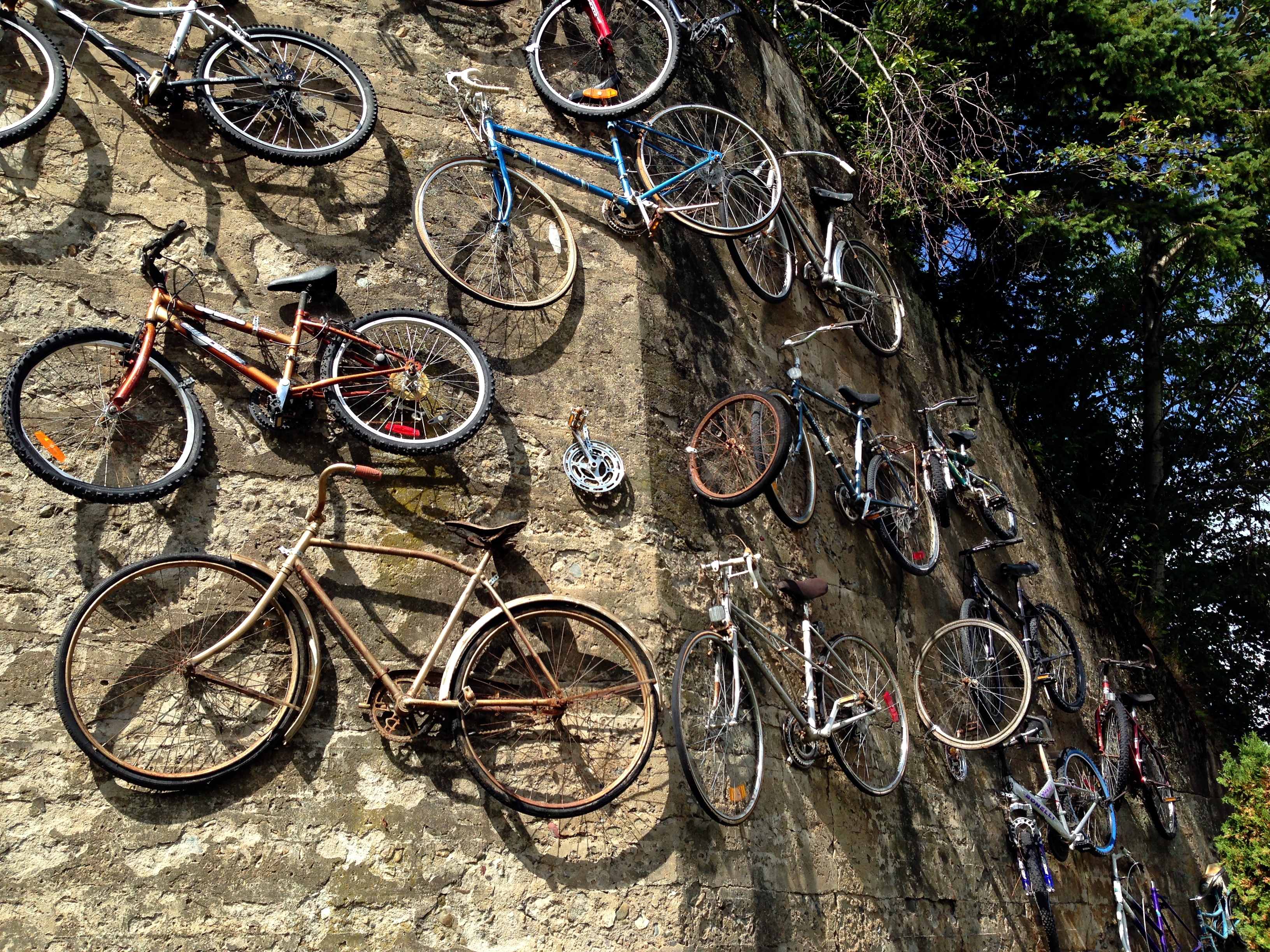
Cyclomur de Bellechasse

Ste Hénédine
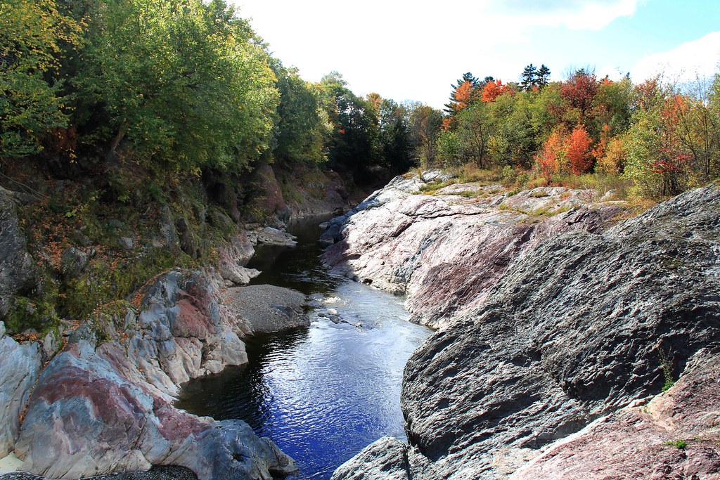
Chutes Rouillard 006

Chutes Rouillard 005
Chutes Rouillard 002

Chutes Rouillard 001

Road Ready

VIP Protection

VIP Custom H3-45
Topographic Map of Rang Longue-Pointe, Saint-Malachie, QC G0R 3N0, Canada
Find elevation by address:

Places near Rang Longue-Pointe, Saint-Malachie, QC G0R 3N0, Canada:
Route Henderson, Saint-Malachie, QC G0R 3N0, Canada
22 Route Abénakis, Sainte-Claire, QC G0R 2V0, Canada
Saint-malachie
Sainte-claire
Ste-claire Municipalite
Sainte-claire
Saint-malachie
Honfleur
Bellechasse Regional County Municipality
Sainte-hénédine
Sainte-hénédine
Saint-gervais
Saint-damien-de-buckland
Rue Commerciale, Saint-Damien-de-Buckland, QC G0R 2Y0, Canada
Saint-damien-de-buckland
Rue des Saules, Saint-Nérée, QC G0R 3V0, Canada
Saint-anselme
75 Rue Provencher, Saint-Anselme, QC G0R 2N0, Canada
Saint-nérée-de-bellechasse
101 Rang De La Montagne
Recent Searches:
- Elevation of Corso Fratelli Cairoli, 35, Macerata MC, Italy
- Elevation of Tallevast Rd, Sarasota, FL, USA
- Elevation of 4th St E, Sonoma, CA, USA
- Elevation of Black Hollow Rd, Pennsdale, PA, USA
- Elevation of Oakland Ave, Williamsport, PA, USA
- Elevation of Pedrógão Grande, Portugal
- Elevation of Klee Dr, Martinsburg, WV, USA
- Elevation of Via Roma, Pieranica CR, Italy
- Elevation of Tavkvetili Mountain, Georgia
- Elevation of Hartfords Bluff Cir, Mt Pleasant, SC, USA