Elevation of Ste. Anne, MB, Canada

Location: Canada > Manitoba > Division No. 2 >

Longitude: -96.647311

Latitude: 49.669688

Elevation: 254m / 833feet

Barometric Pressure: 98KPa

Elevation Map:

elevation map of Ste. Anne, MB, Canada

Satellite Map:

Satellite map of Ste. Anne, MB, Canada

Related Photos:

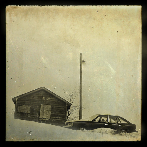
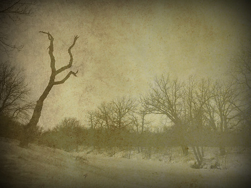
winter canada texture car sepia canon vintage shed powershot manitoba canonpowershot a560 ttv canonpowershota560 steffenj
Vintage (TTV)
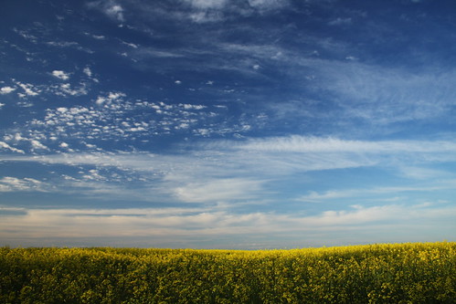
blue summer sky cloud sun sunlight white canada field yellow clouds canon rebel kitlens manitoba prairie xs sunlit prairies canola canonkitlens rebelxs canonefs1855mmf3556is canoneos1000d eos1000d canoneosdigitalrebelxs
Golden Sea
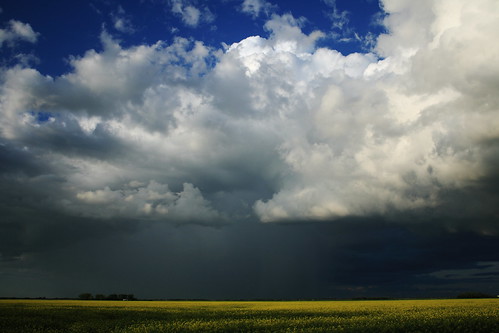
summer cloud canada storm yellow clouds canon dark rebel ominous foreboding kitlens manitoba thunderstorm prairie xs prairies canola thunderhead canonkitlens rebelxs canonefs1855mmf3556is canoneos1000d eos1000d canoneosdigitalrebelxs
Prairie Thunderstorm
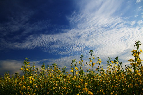
blue summer sky cloud sun sunlight white canada field yellow clouds canon rebel kitlens manitoba prairie xs sunlit prairies canola canonkitlens rebelxs canonefs1855mmf3556is canoneos1000d eos1000d canoneosdigitalrebelxs
Colour Collision
winter canada texture canon rebel kitlens manitoba xs vignette edit outcast postprocessing canonkitlens rebelxs canonefs1855mmf3556is canoneos1000d eos1000d canoneosdigitalrebelxs
First Texture Attempt
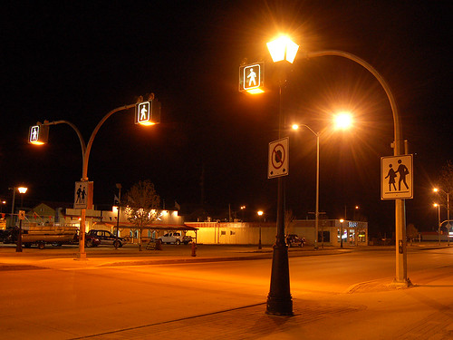
street sign night dark streetlight main manitoba crosswalk steinbach
Walk, don't run
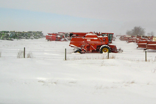
winter red snow cold field farm combine giroux
Bright red combine
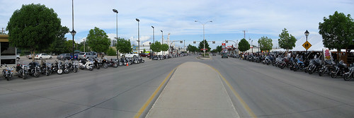
street panorama main rally harley harleydavidson motorcycle vehicle hog sar steinbach
SAR bike rally (panorama)
street panorama main rally roast harley harleydavidson motorcycle vehicle hog sar steinbach
Panorama view of Main Street
canada mb steanne canatrek2k9
Another Rainy Day
square squareformat mayfair iphoneography instagramapp uploaded:by=instagram foursquare:venue=5068ada7e4b0f328e09167db
Photobombed by a bird #forrealz #cornfield #field #gold #sunny #fall #autumn #farm #nature #outdoors #prairies #manitoba #canada
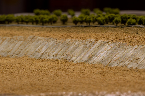
architecture models
Vientiane Model
archesnationalpark utahbanfftrip devilsgardenhike
Landscape Arch
flood manitoba
Flood water
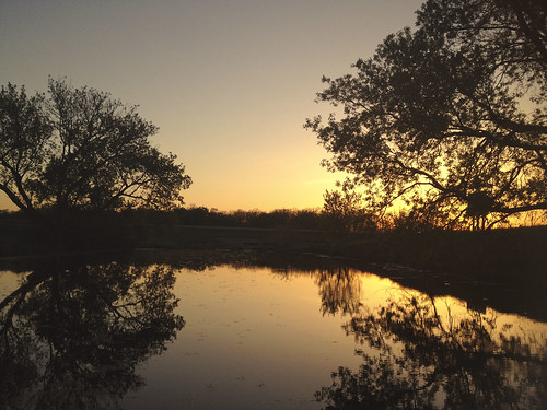
light sunset landscape spring amazing manitoba depth happyness
calm water
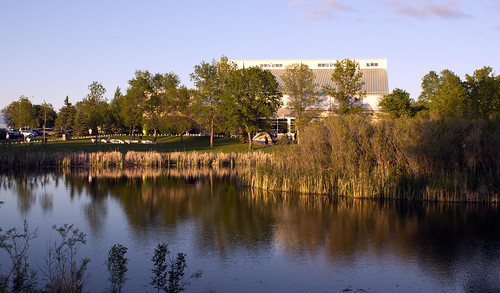
park city trees sunset summer canada green water grass outdoors spring bush earth bluesky manitoba east clear evergreen penner
ad penner park jpeg
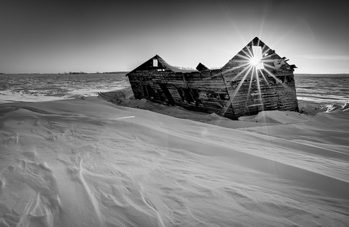
old sunset bw snow barn zeiss landscape nikon landmark manitoba f28 dilapitated distagon 21mm zf d3s
old barn sunset
architecture models
Vientiane Model
lplate
L Plate
sunset sky canada building landscape farm can manitoba hwy12 blumenort
Hwy 12, Blumenort (504965)
sunset sky canada building landscape farm can manitoba transcanadahwy dufresne
Trans-Canada Hwy, Dufresne (504963)
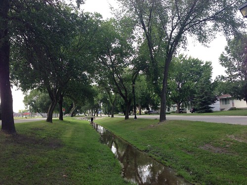
Brook by Elmdale