Elevation of Ste. Anne, MB, Canada
Location: Canada > Manitoba > Division No. 2 >
Longitude: -96.526831
Latitude: 49.6300332
Elevation: 277m / 909feet
Barometric Pressure: 98KPa
Elevation Map:
Satellite Map:
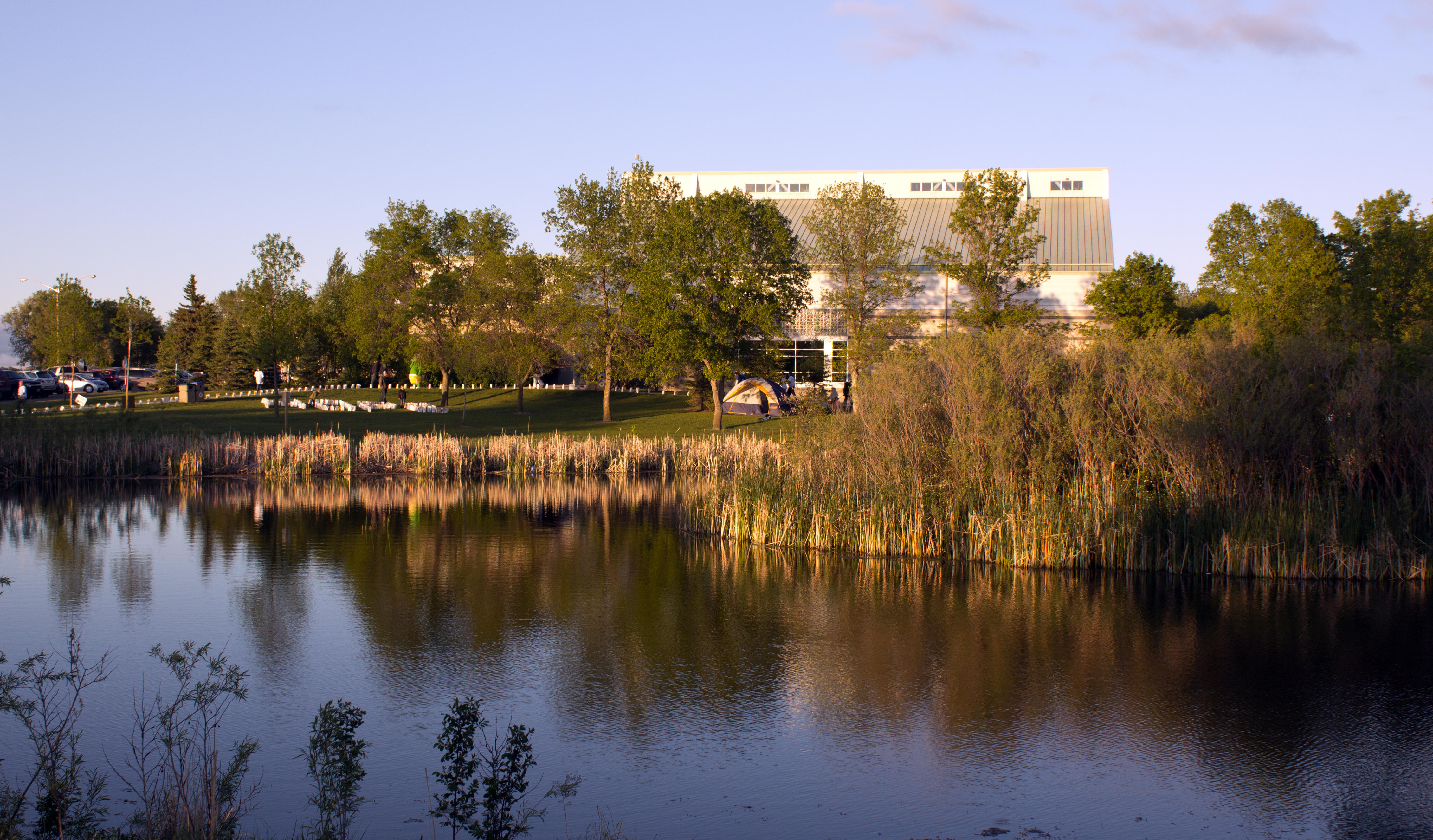
Related Photos:
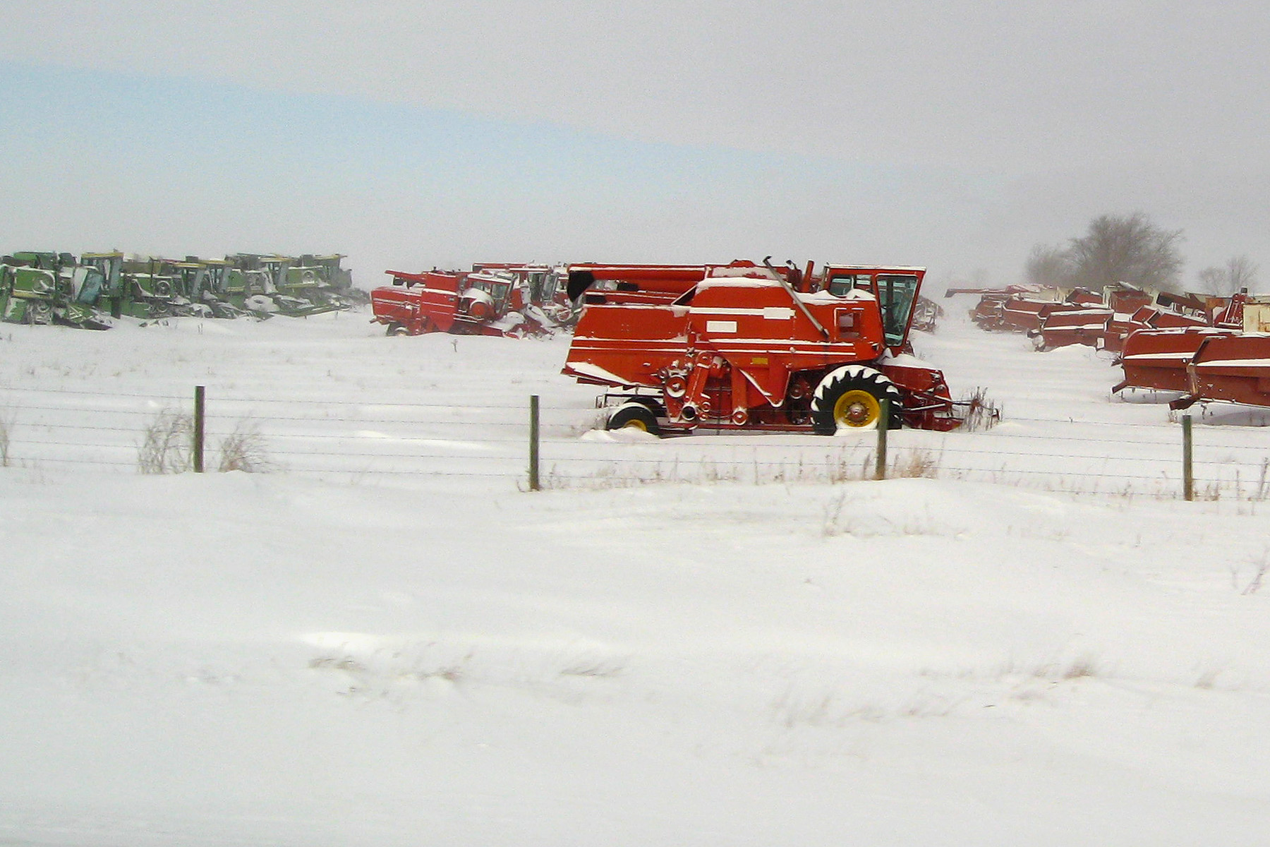
Bright red combine

Vintage (TTV)

Golden Sea
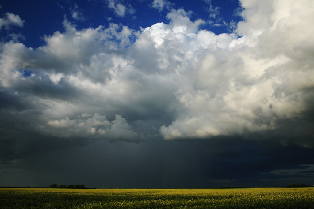
Prairie Thunderstorm

Colour Collision

First Texture Attempt
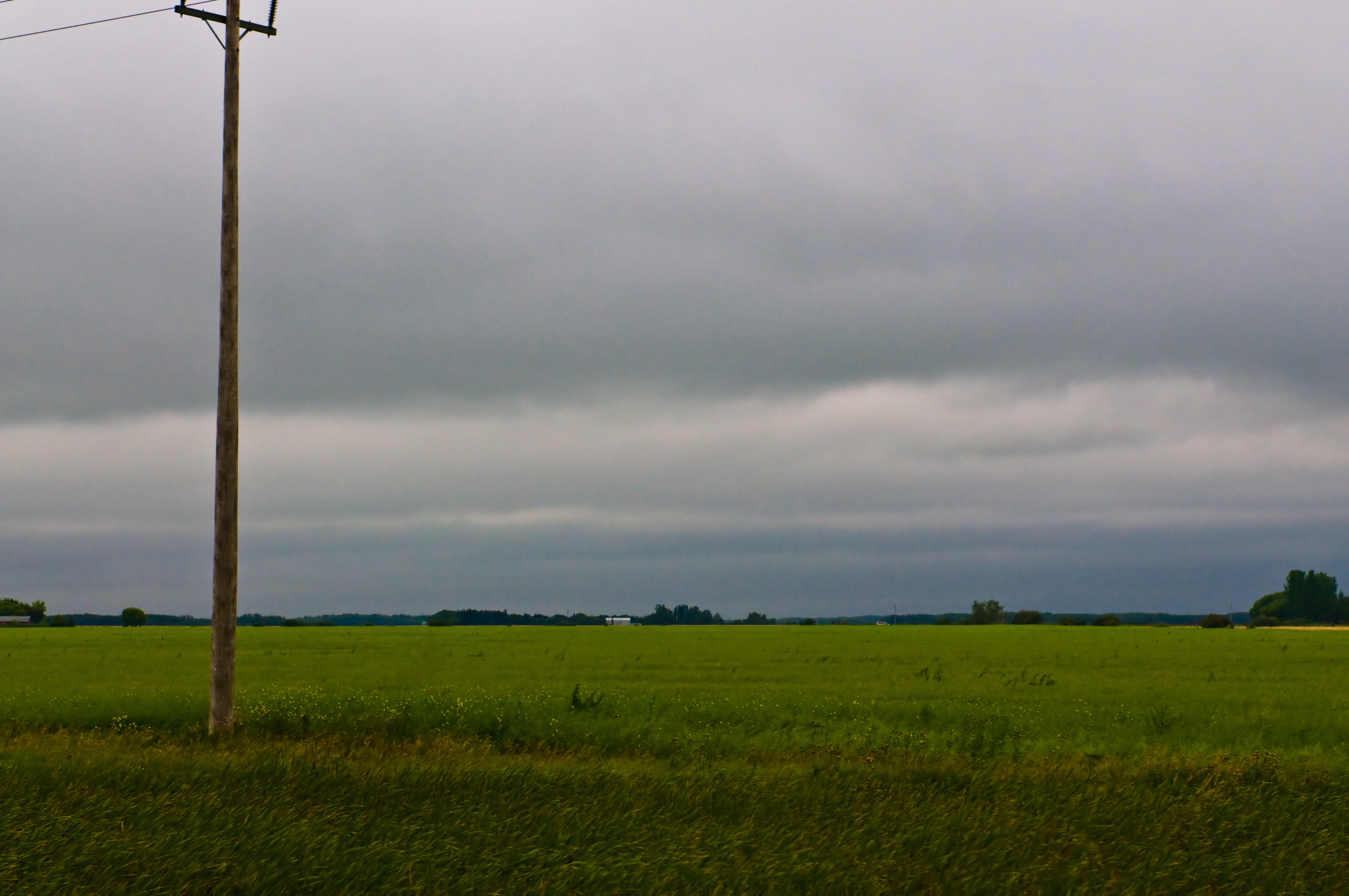
Another Rainy Day

Photobombed by a bird #forrealz #cornfield #field #gold #sunny #fall #autumn #farm #nature #outdoors #prairies #manitoba #canada

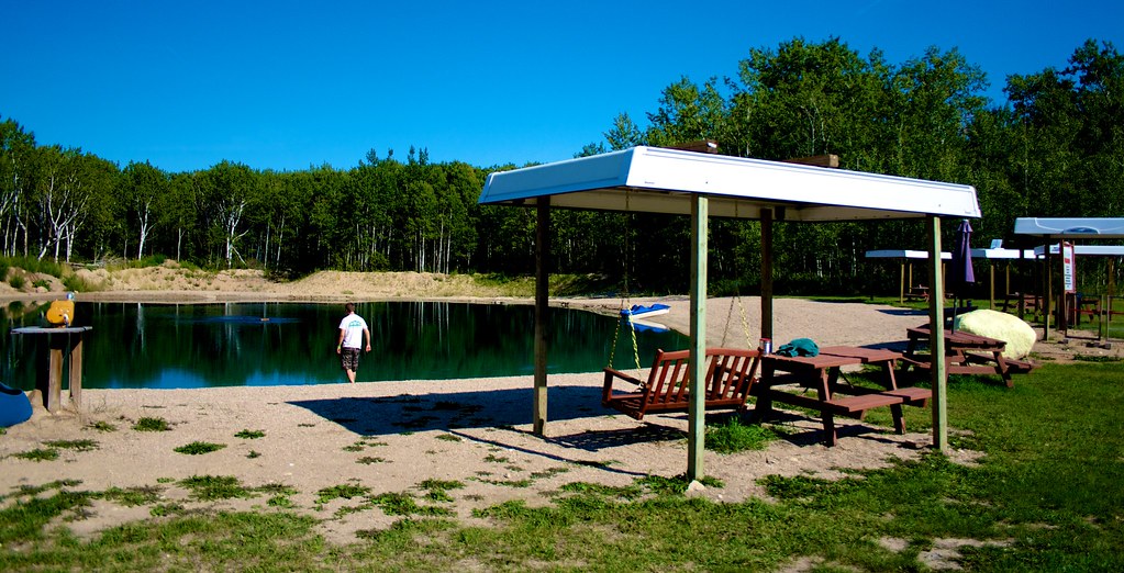
calm water

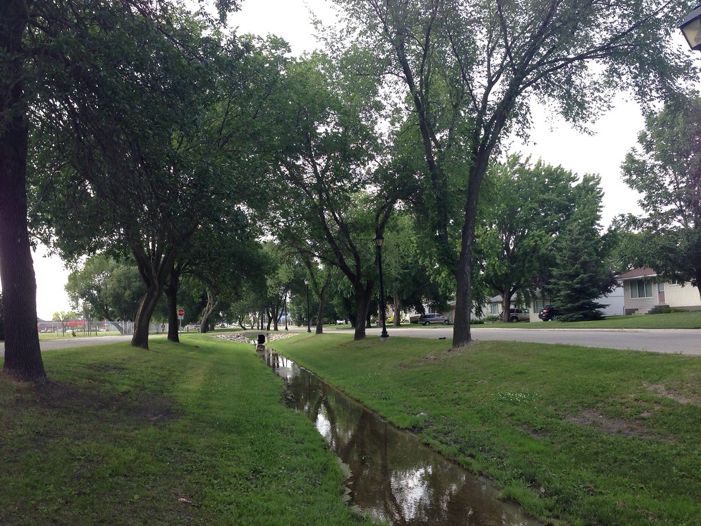
Canadian Roadtrip (92)

Canadian Roadtrip (95)

Canadian Roadtrip (91)

Canadian Roadtrip (94)

Canadian Roadtrip (96)

Hwy 12, Blumenort (504965)
Canadian Roadtrip (93)
Brook by Elmdale

Vientiane Model
ad penner park jpeg
Vientiane Model

L Plate
Topographic Map of Ste. Anne, MB, Canada
Find elevation by address:

Places in Ste. Anne, MB, Canada:
Places near Ste. Anne, MB, Canada:
Richer
23 MB-, Richer, MB R0E 1S0, Canada
La Broquerie
15 Rue Desgagné
Ste-geneviève
Ste. Anne
Blumenort
Center Ave, Blumenort, MB R0A 0C0, Canada
Blumenort School
Steinbach
50 Parkhill Cres, Steinbach, MB R5G 0L2, Canada
Parkhill Place
25 Park Ln, Marchand, MB R0A 0Z0, Canada
La Broquerie
Mitchell
15 Siskin Bay
Division No. 12
Landmark
Hanover
25483 River Rd
Recent Searches:
- Elevation of Corso Fratelli Cairoli, 35, Macerata MC, Italy
- Elevation of Tallevast Rd, Sarasota, FL, USA
- Elevation of 4th St E, Sonoma, CA, USA
- Elevation of Black Hollow Rd, Pennsdale, PA, USA
- Elevation of Oakland Ave, Williamsport, PA, USA
- Elevation of Pedrógão Grande, Portugal
- Elevation of Klee Dr, Martinsburg, WV, USA
- Elevation of Via Roma, Pieranica CR, Italy
- Elevation of Tavkvetili Mountain, Georgia
- Elevation of Hartfords Bluff Cir, Mt Pleasant, SC, USA