Elevation of State Rte, Hiltons, VA, USA
Location: United States > Virginia > Scott County > > Hiltons >
Longitude: -82.383944
Latitude: 36.6766856
Elevation: 410m / 1345feet
Barometric Pressure: 96KPa
Elevation Map:
Satellite Map:
Related Photos:
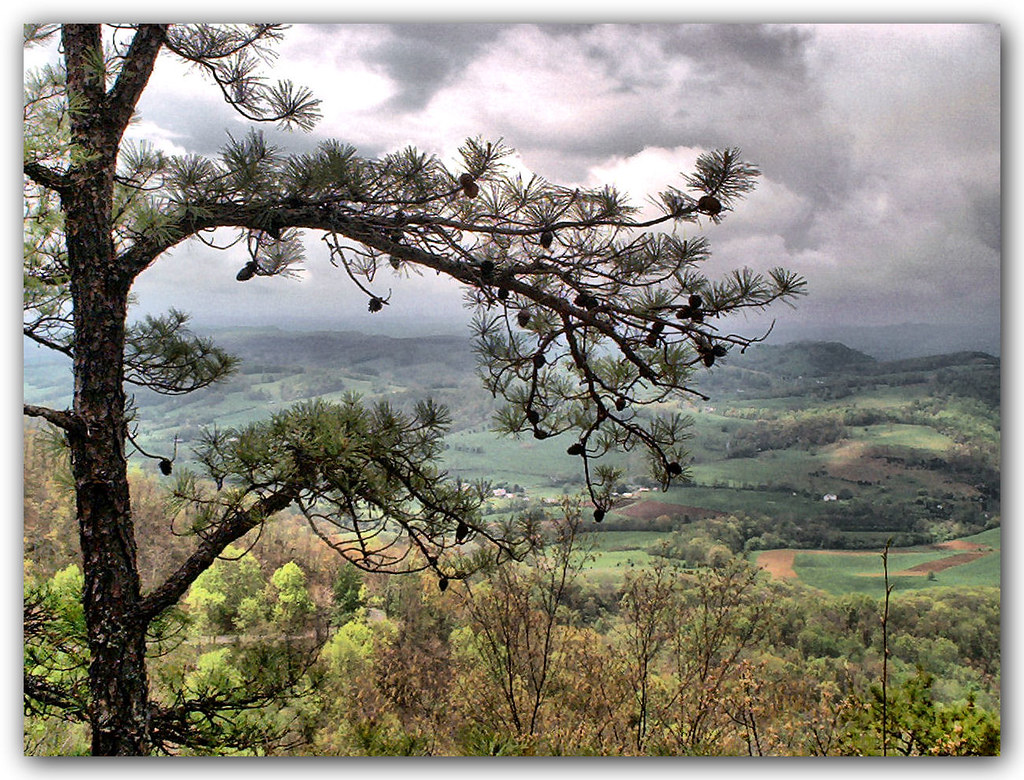
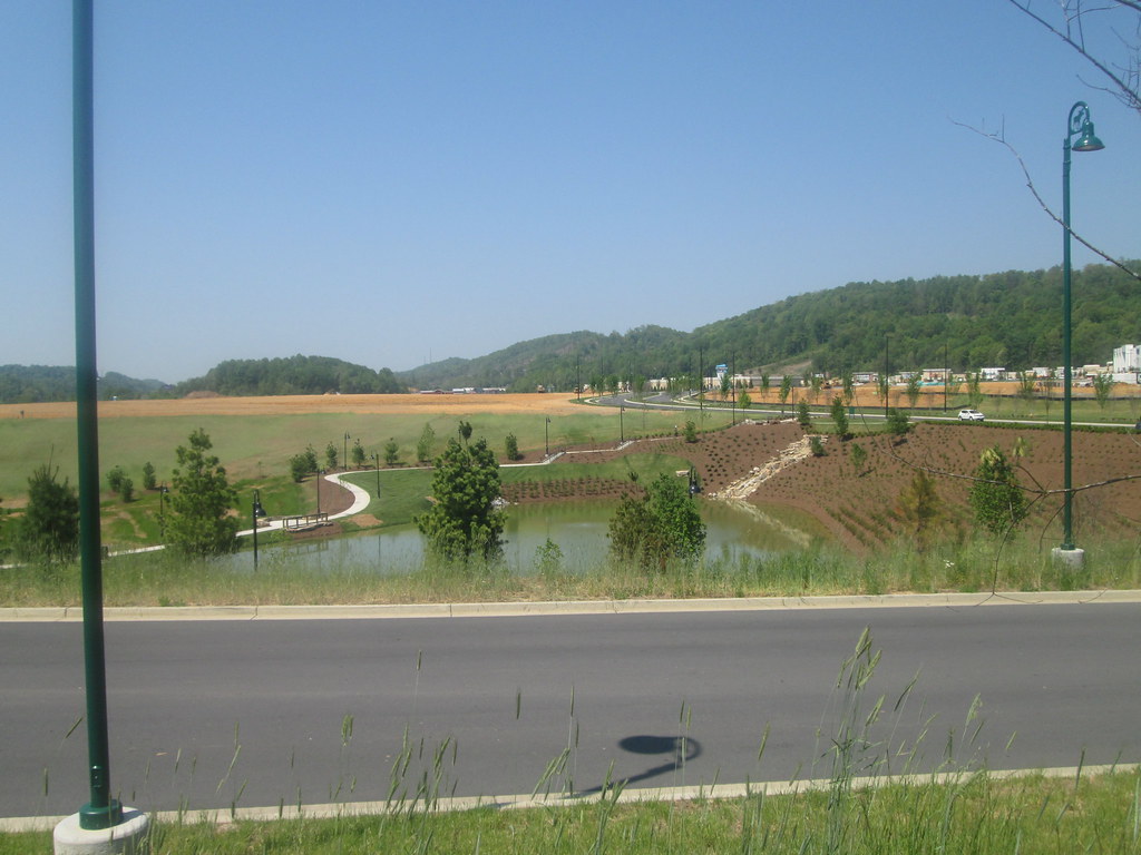
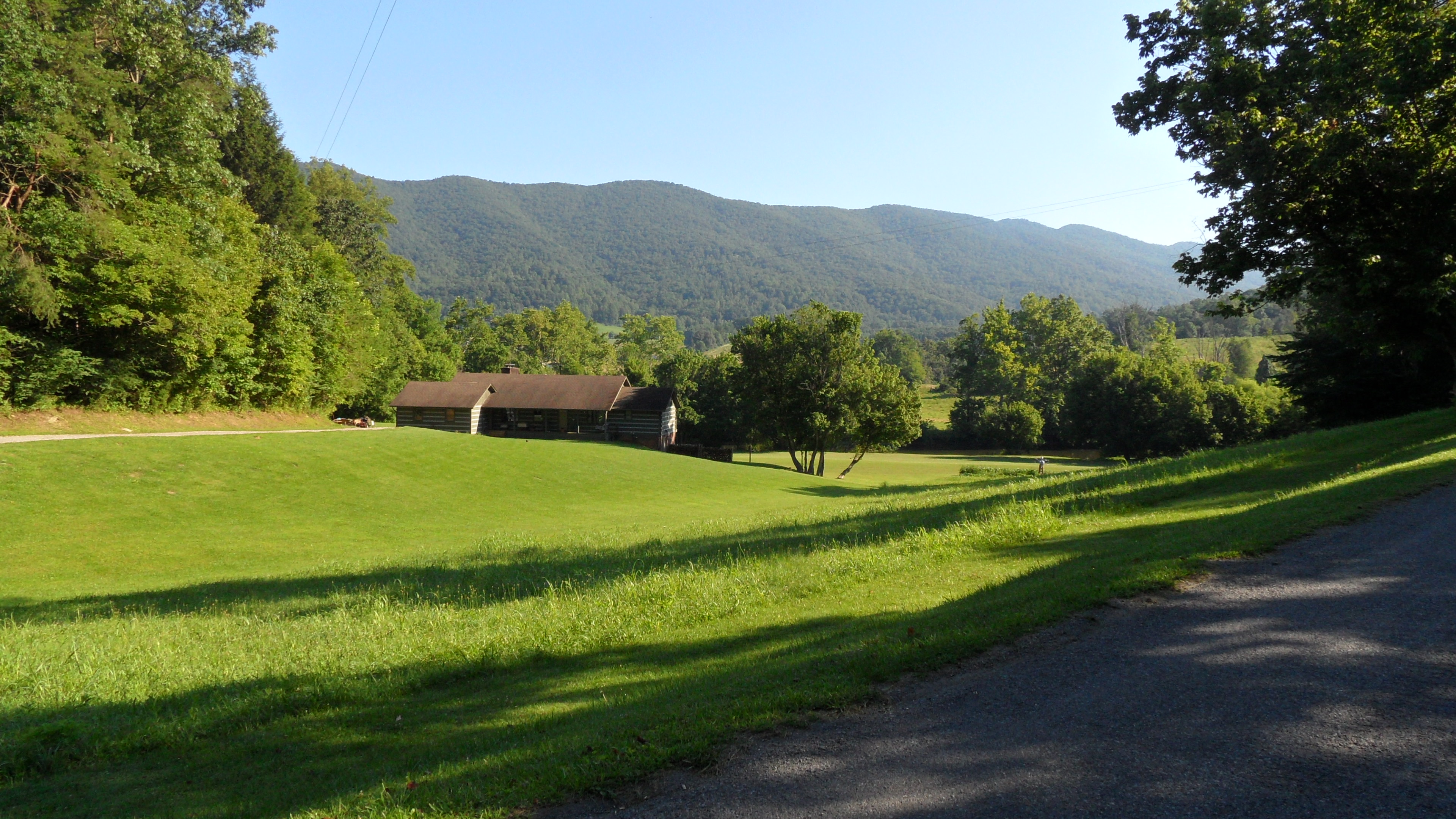
Mountain View
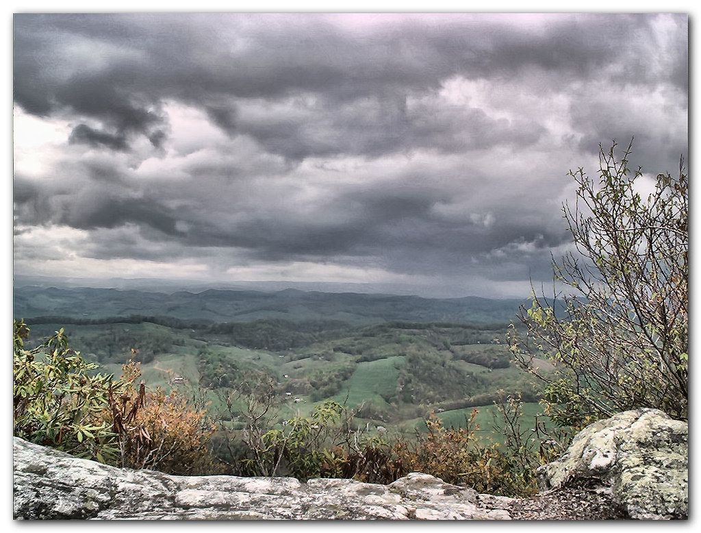
Mountain View
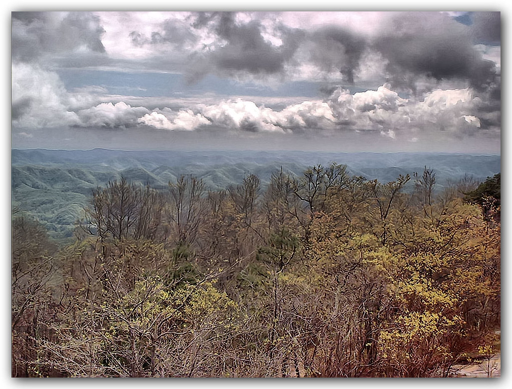
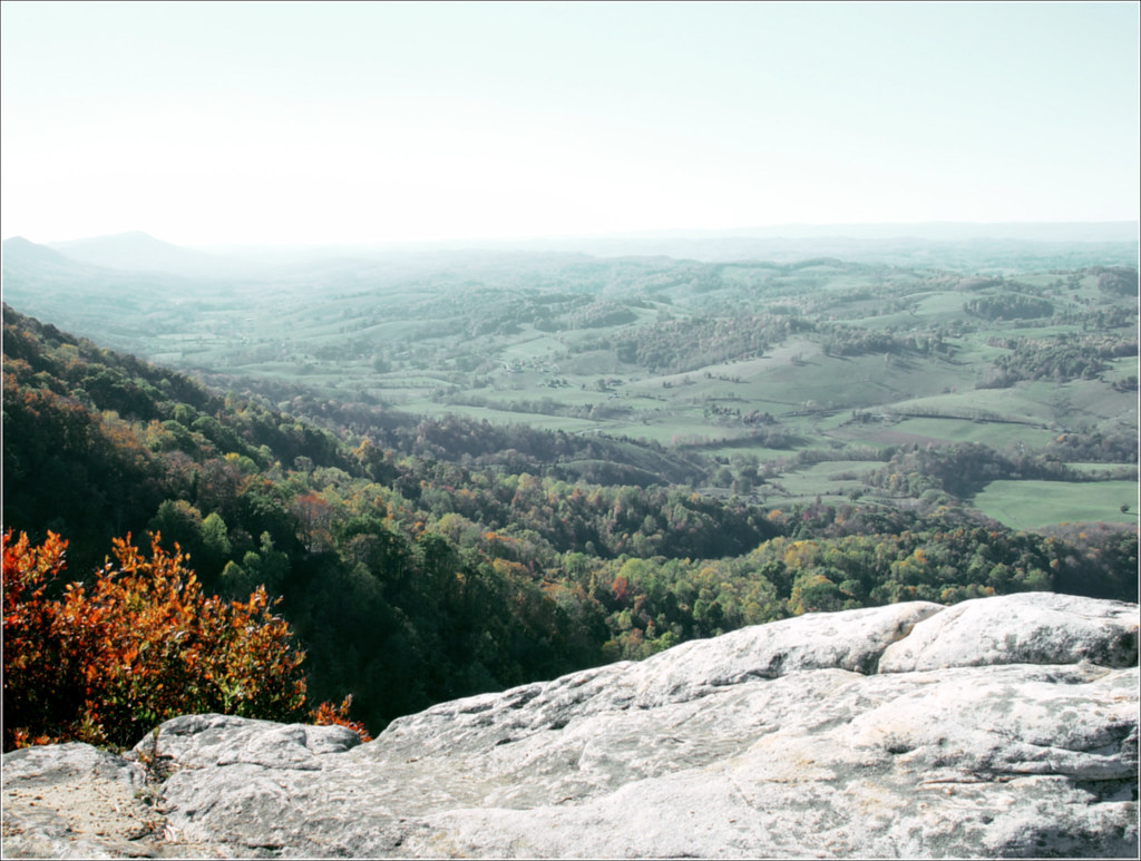
View from the Clouds
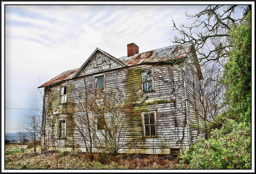
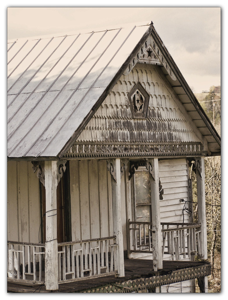
Salyers House
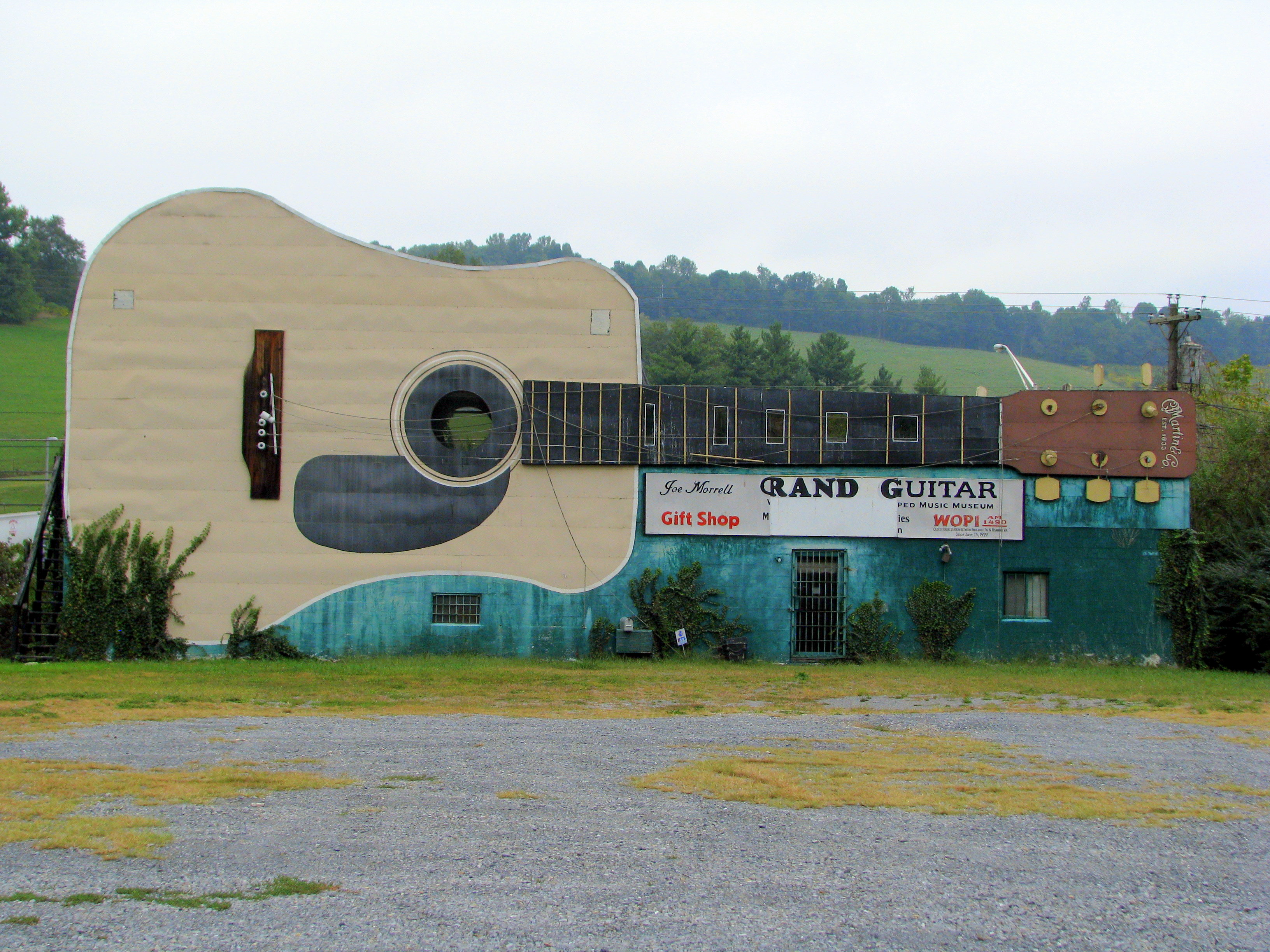
World's Largest Guitar - US11W view
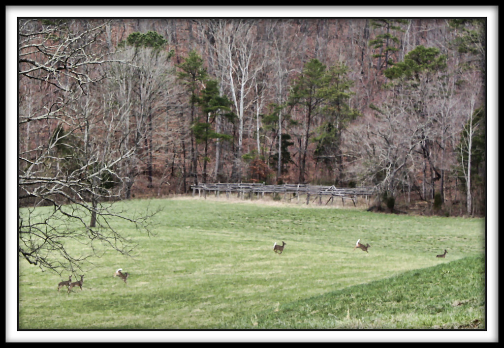
Spring Deer

World's Largest Guitar - Interstate View
medota, virginia
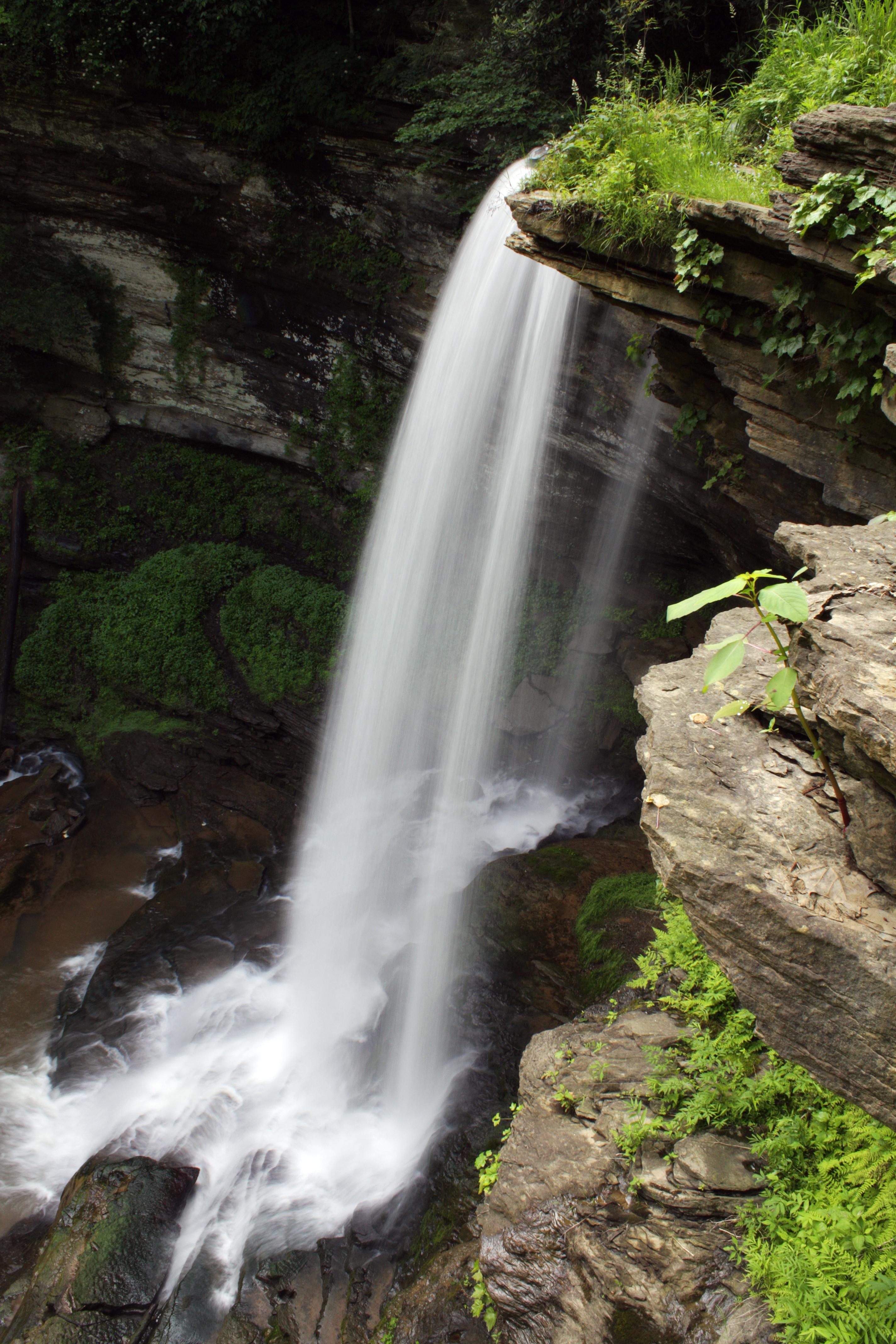
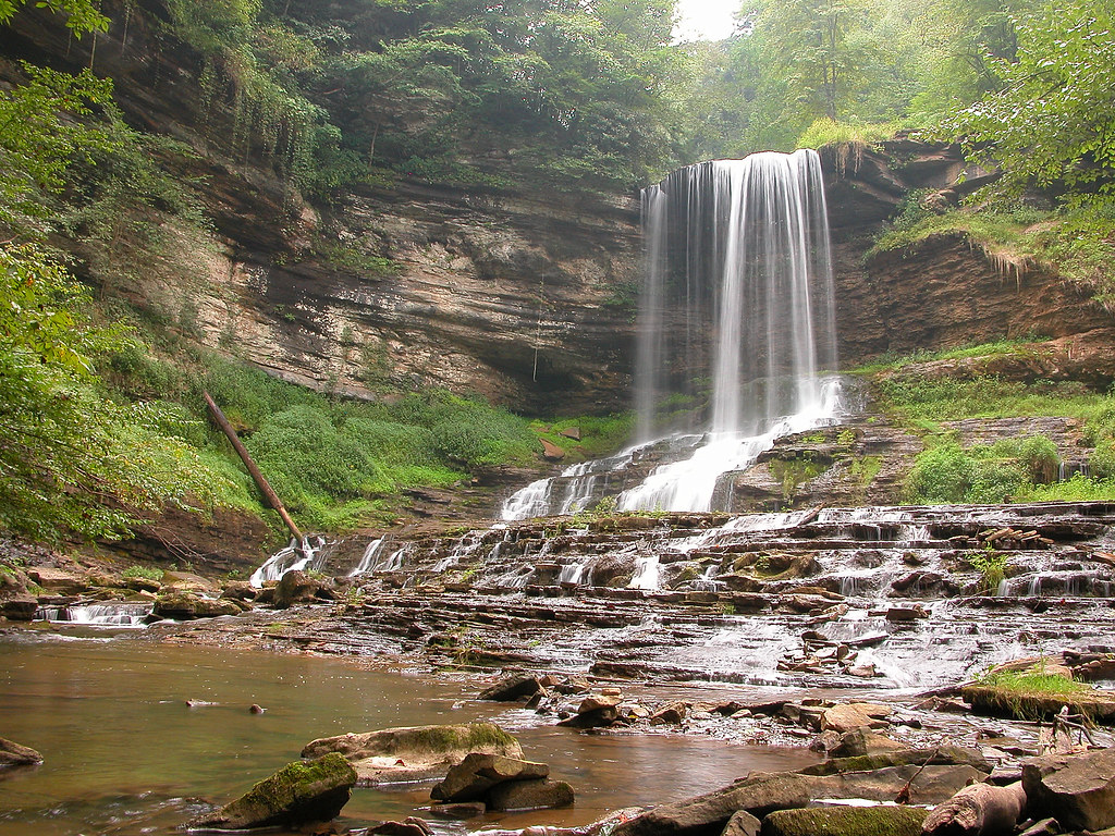
Abrams Falls
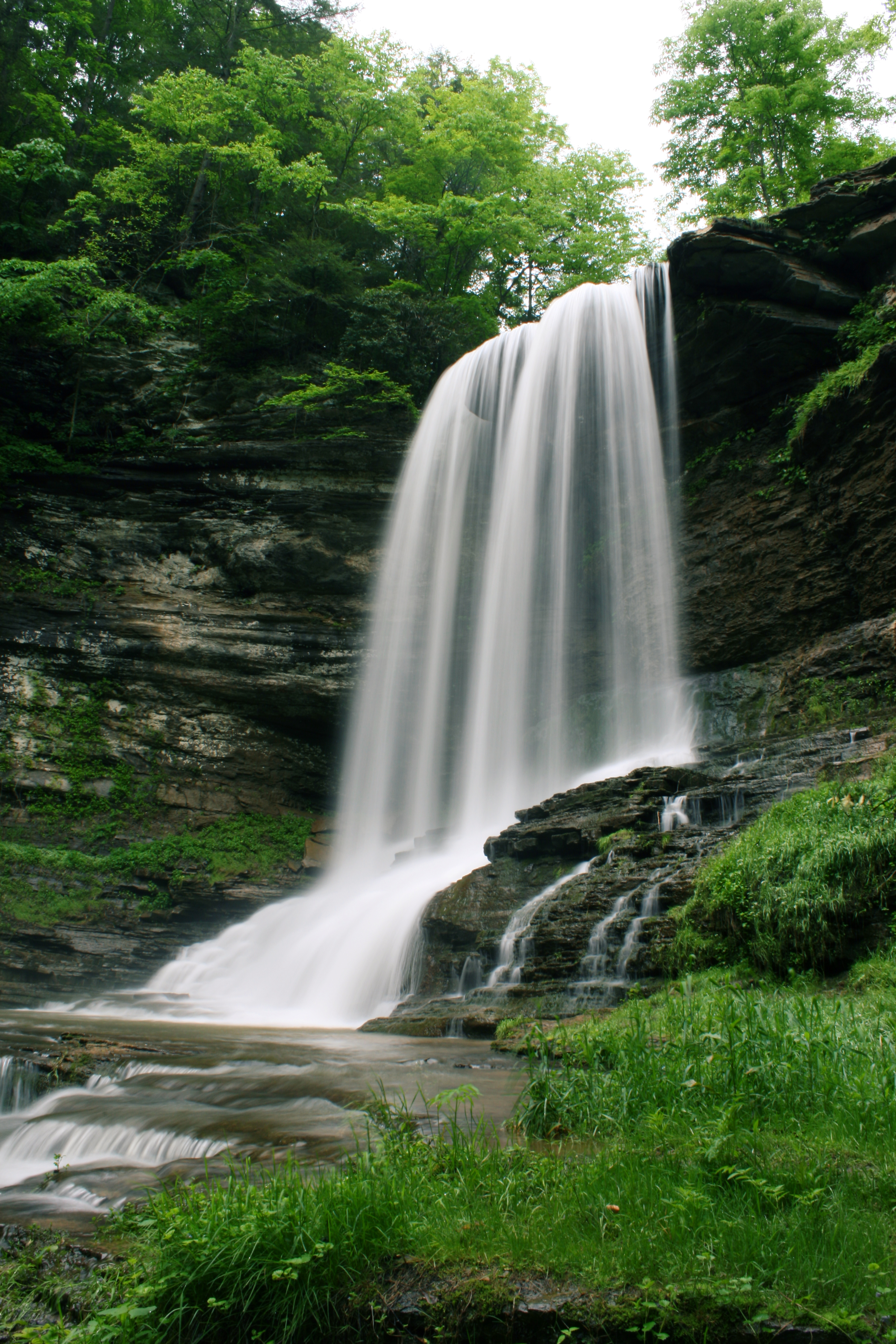
Abrams Falls
Up Close and Personal
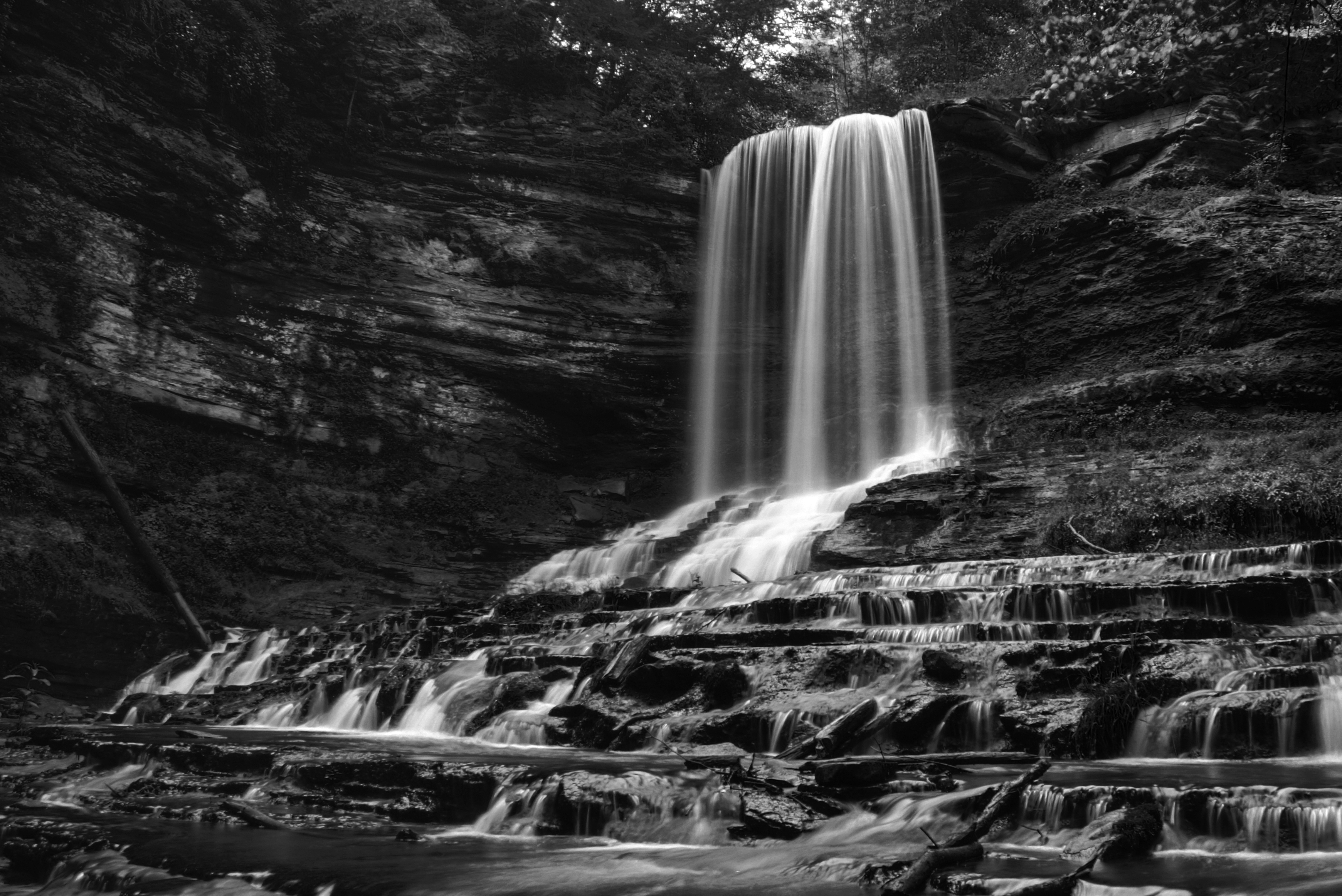
Abrams Falls
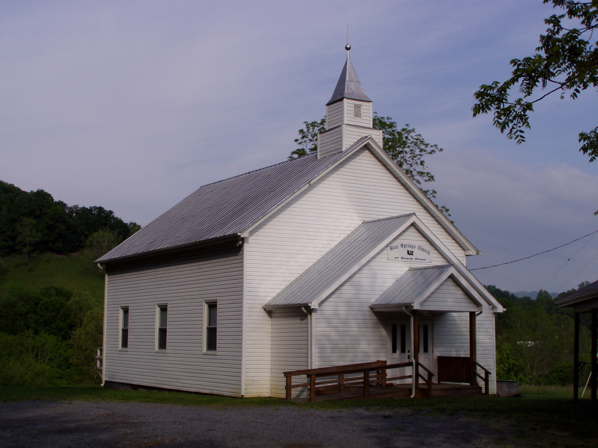
Blue Springs Church at Beech Grove
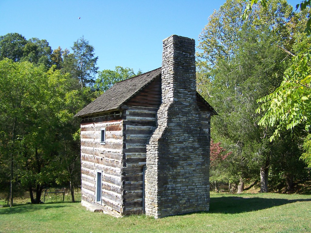
Kilgore Fort House

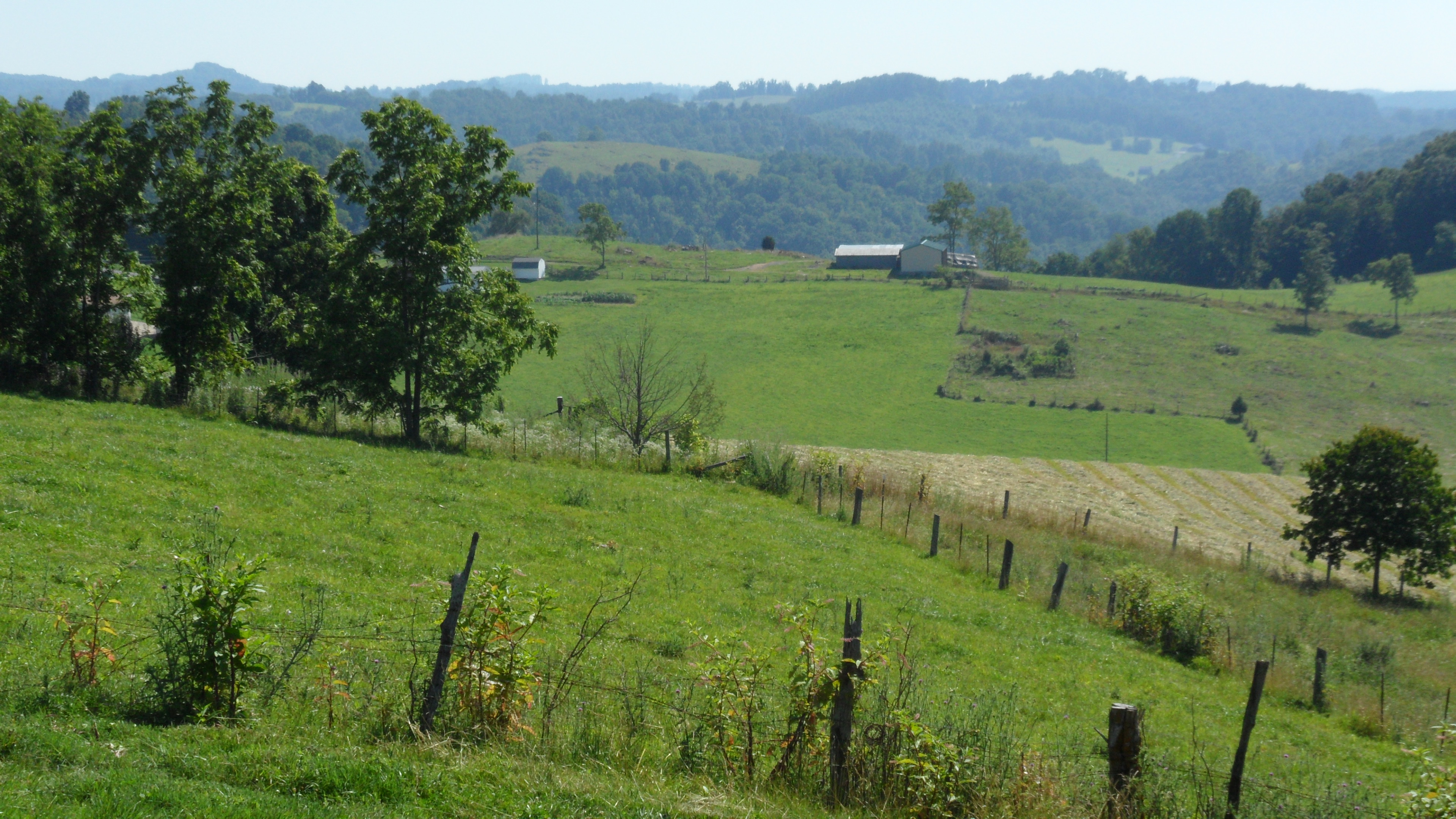
View of the Mountains
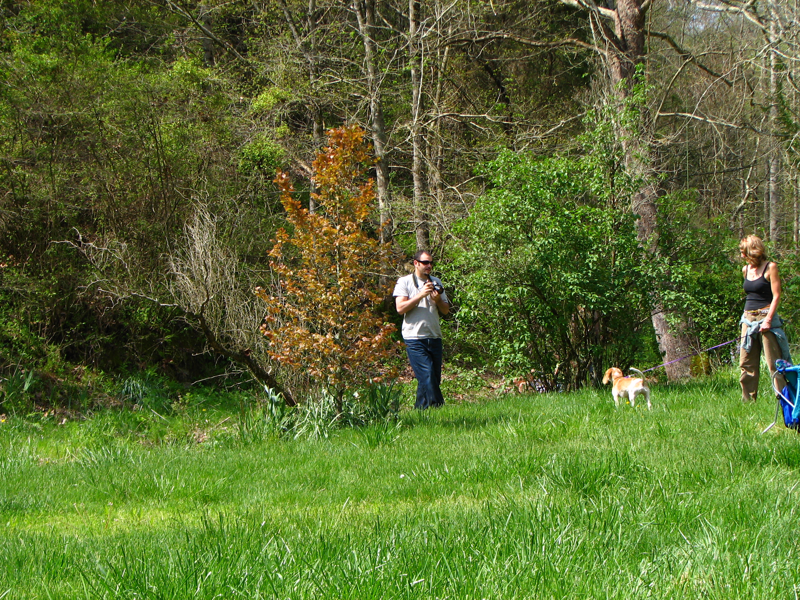
taking pictures
Percy's view
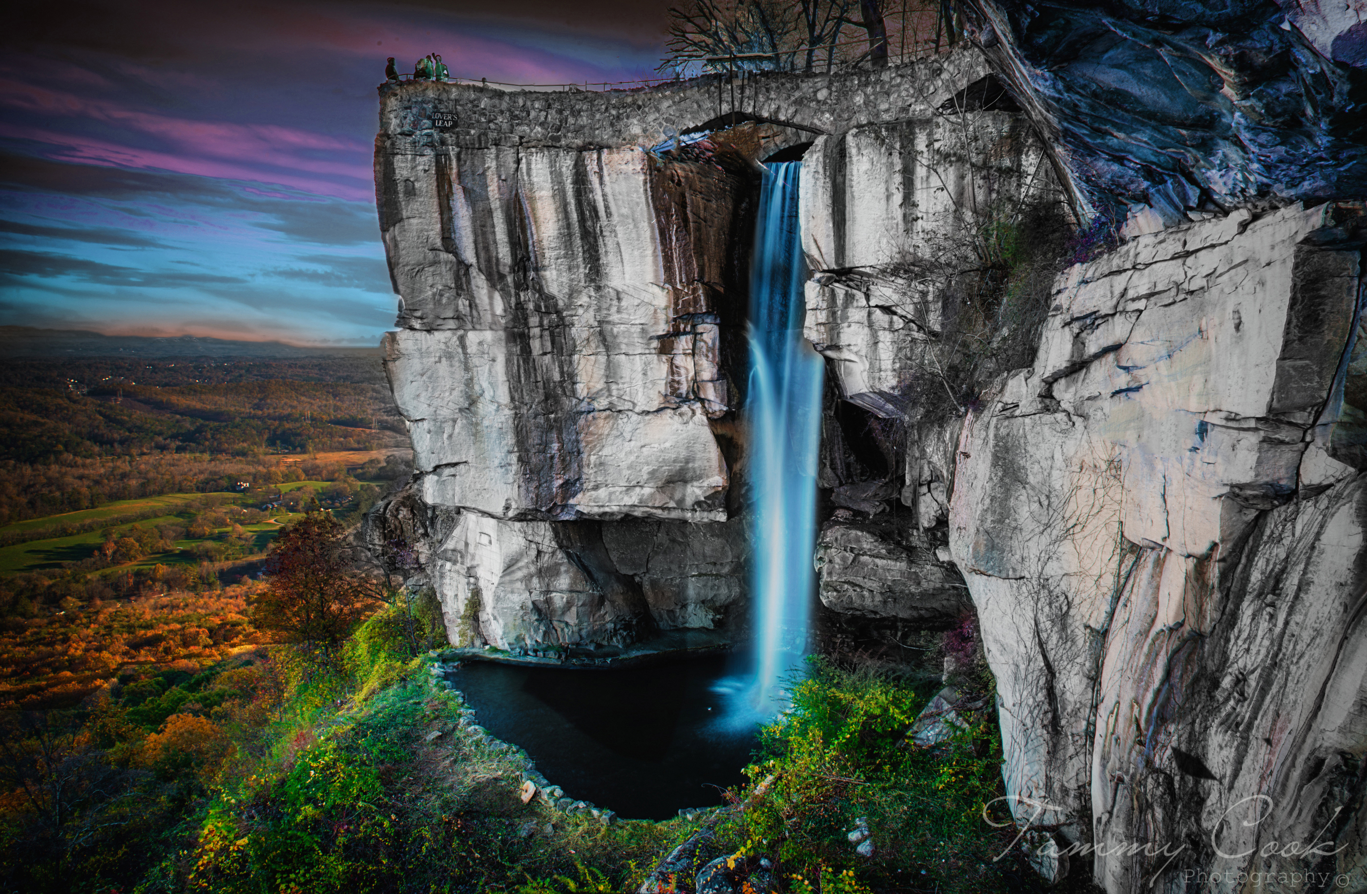
Rock City
Pinnacle Park
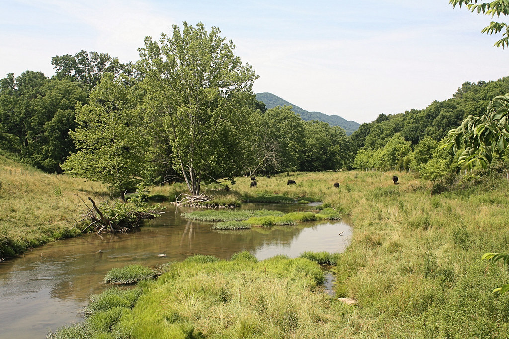
Grazing on Big Moccasin Creek

Turn Off the Paved Road

Moccasin Gap

: : My Virginia : : Clinch Mountain in Winter
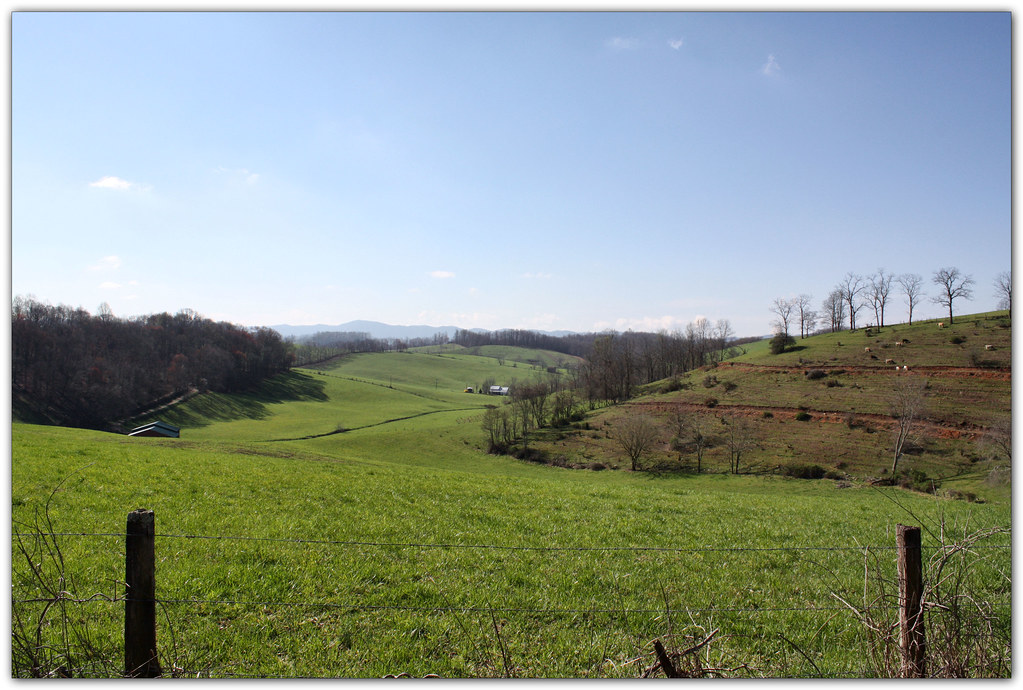
Green Pastures
Abrams Falls, Virginia

Bridge 248-10
615 to Carter Fold
Mcconnell, VA
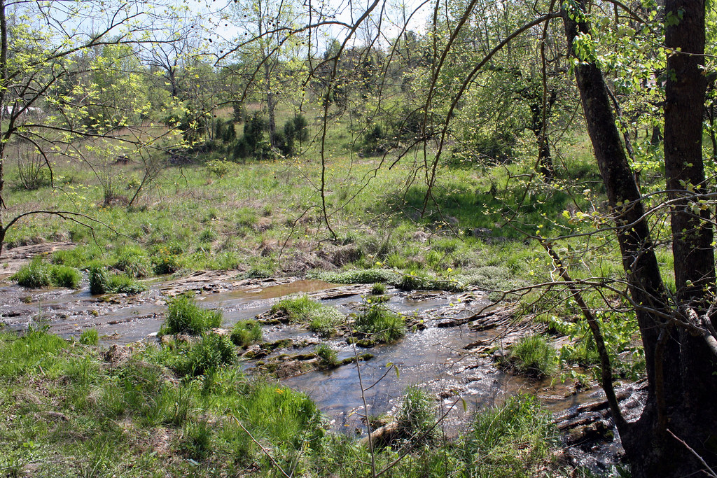
Anderson Branch
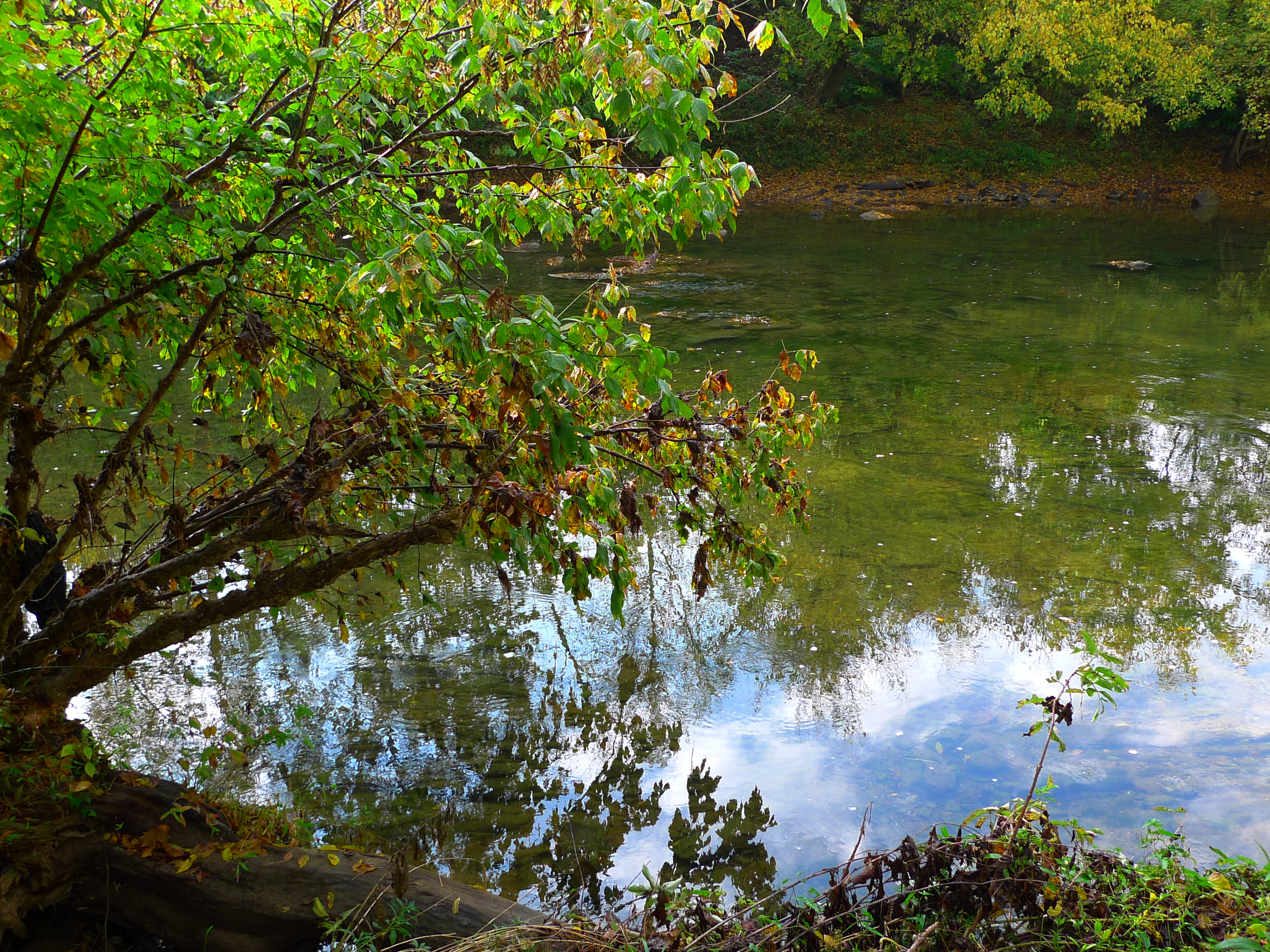
Blue sky, green water
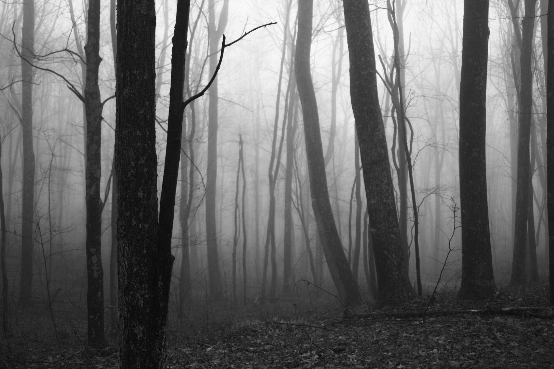
Surprise Fog
side yard
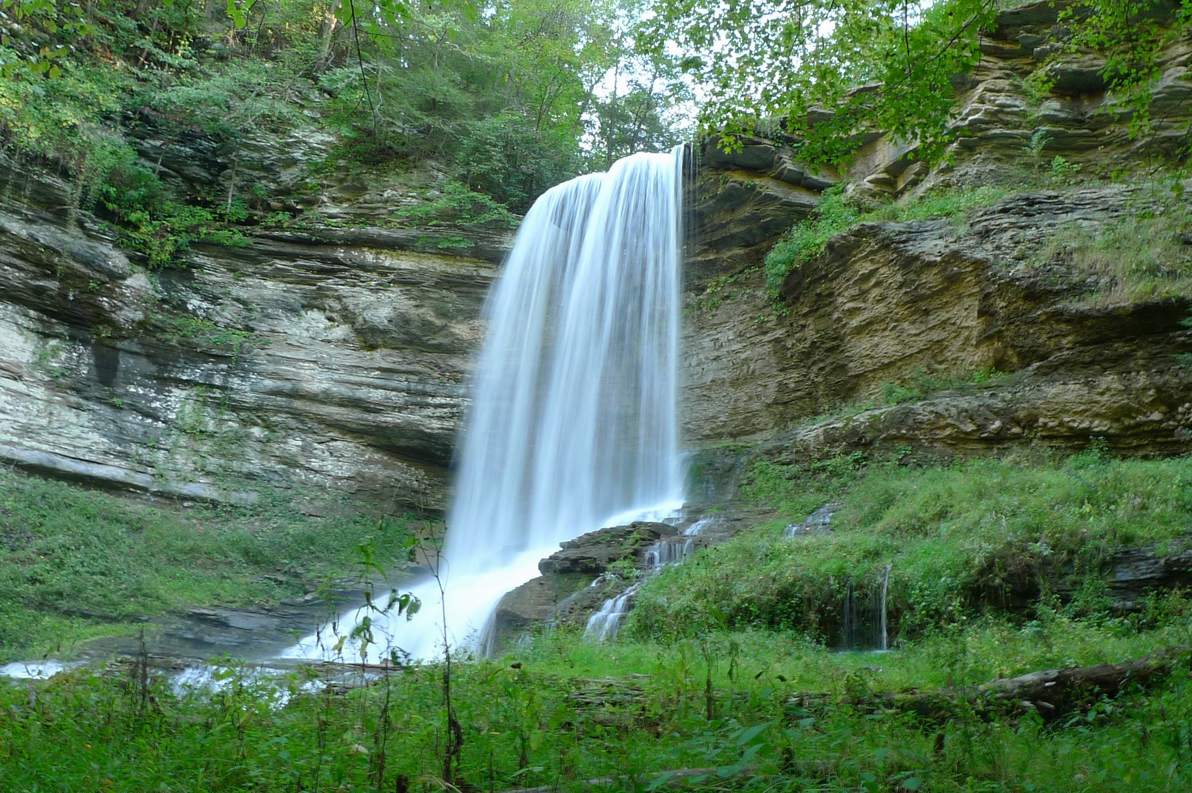
Abrams Falls

Holston River at Wadlow Gap
Topographic Map of State Rte, Hiltons, VA, USA
Find elevation by address:

Places near State Rte, Hiltons, VA, USA:
Maces Spring
11570 Bristol Hwy
7068 A P Carter Hwy
2, VA, USA
Gouldman Branch
286 Appaloosa Dr
286 Appaloosa Dr
286 Appaloosa Dr
3457 Dean Hollow Rd
3457 State Rte 682
3459 Dean Hollow Rd
Bruno
20768 Federal Rd
Bristol Hwy, Bristol, VA, USA
220 Carmack Dr
Hilton Elementary School
19872 Turkey Hollow Ln
Hiltons
Gate City Hwy, Bristol, VA, USA
Mendota
Recent Searches:
- Elevation of Corso Fratelli Cairoli, 35, Macerata MC, Italy
- Elevation of Tallevast Rd, Sarasota, FL, USA
- Elevation of 4th St E, Sonoma, CA, USA
- Elevation of Black Hollow Rd, Pennsdale, PA, USA
- Elevation of Oakland Ave, Williamsport, PA, USA
- Elevation of Pedrógão Grande, Portugal
- Elevation of Klee Dr, Martinsburg, WV, USA
- Elevation of Via Roma, Pieranica CR, Italy
- Elevation of Tavkvetili Mountain, Georgia
- Elevation of Hartfords Bluff Cir, Mt Pleasant, SC, USA