Elevation of Dean Hollow Rd, Nickelsville, VA, USA
Location: United States > Virginia > Scott County > > Nickelsville >
Longitude: -82.389572
Latitude: 36.7241184
Elevation: 559m / 1834feet
Barometric Pressure: 95KPa
Elevation Map:
Satellite Map:
Related Photos:

Kilgore Fort House

Mountain View

Mountain View
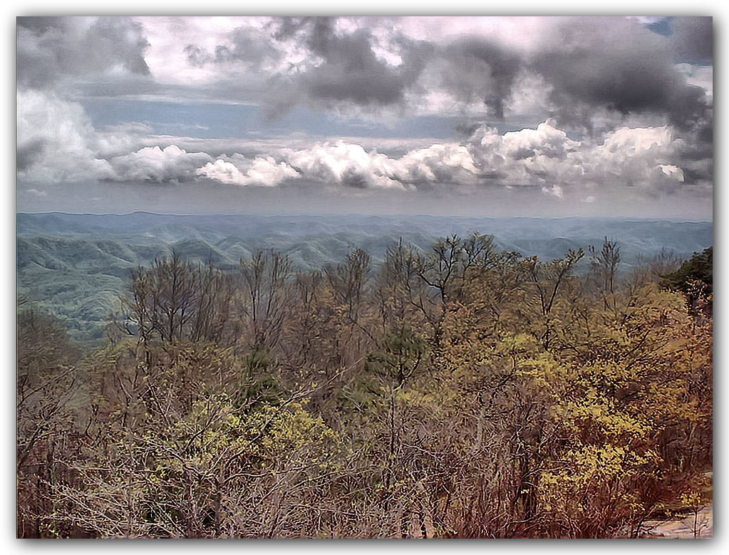
View from the Clouds

Salyers House

Up Close and Personal

Spring Deer

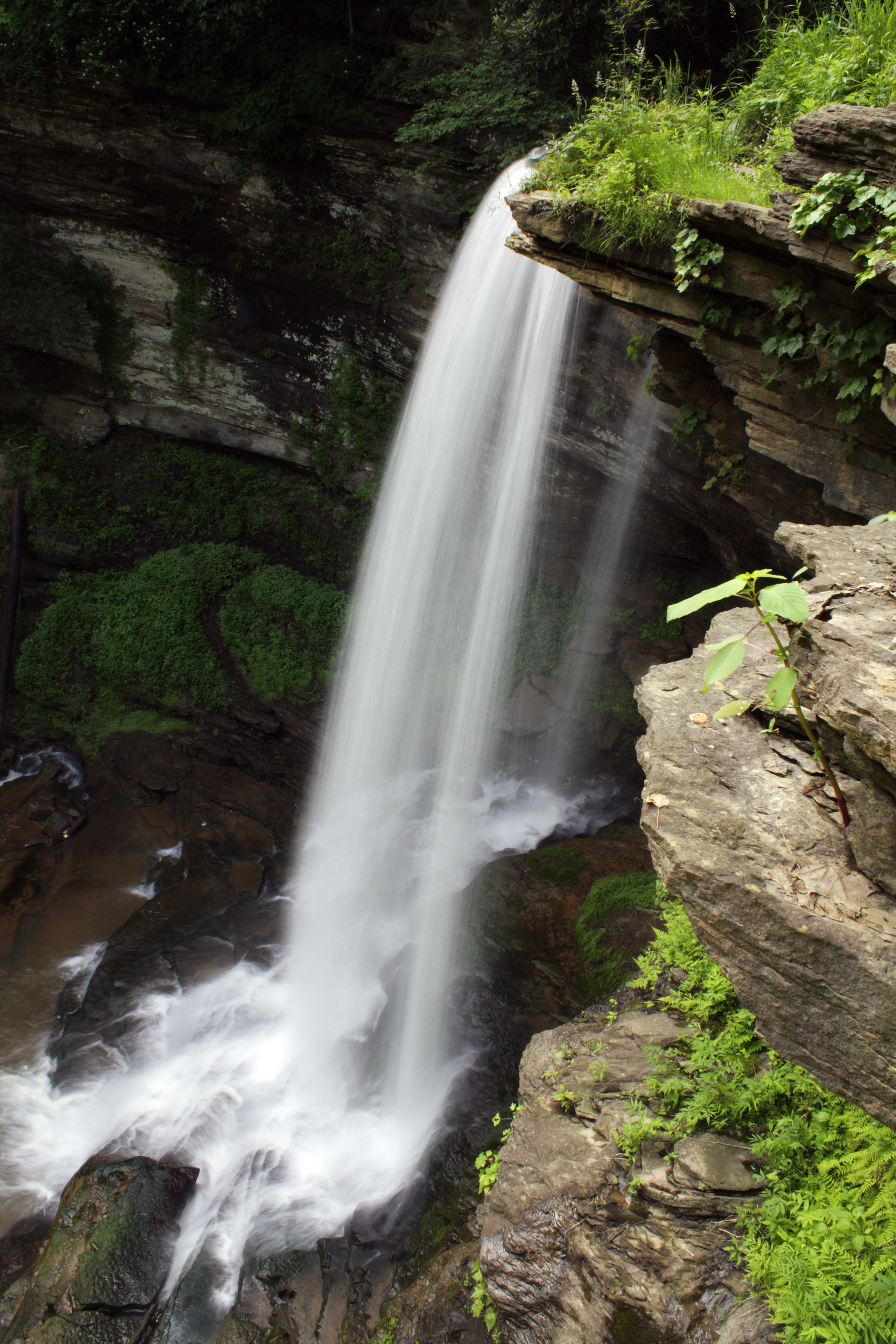
Abrams Falls

: : My Virginia : : Grazing in the Grass

Abrams Falls
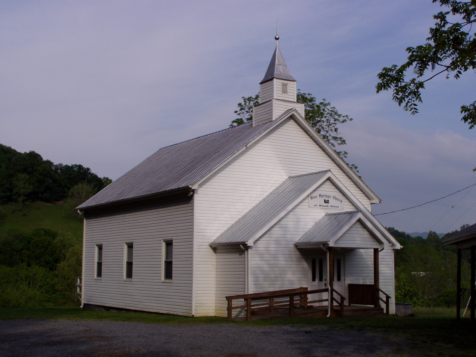
Blue Springs Church at Beech Grove
Abrams Falls

medota, virginia

taking pictures

Percy's view

Abrams Falls, Virginia

Evening Clouds

Foggy morning in the Corn Maze

Goats mostly..

Little Wolf Run

Turn Off the Paved Road

CRR 800 in Motion

EX PRR MP54 sitting untouched in my Hometown of Hiltons, VA

Clinchfield Country

Copper Ridge Road

Night Sky

02839c Little Stoney Falls

Green Pastures

Grazing on Big Moccasin Creek

A Spike in Maces Spring.

Abrams Falls

Southwest Virginia Landscape (Scott County, Virginia)
Topographic Map of Dean Hollow Rd, Nickelsville, VA, USA
Find elevation by address:

Places near Dean Hollow Rd, Nickelsville, VA, USA:
3457 State Rte 682
3459 Dean Hollow Rd
State Rte, Hiltons, VA, USA
7068 A P Carter Hwy
Maces Spring
3, VA, USA
Addington Frame Road
Addington Frame Road
20768 Federal Rd
11570 Bristol Hwy
286 Appaloosa Dr
286 Appaloosa Dr
286 Appaloosa Dr
2, VA, USA
Gouldman Branch
Mendota
Bruno
220 Carmack Dr
Bristol Hwy, Bristol, VA, USA
Hilton Elementary School
Recent Searches:
- Elevation of Corso Fratelli Cairoli, 35, Macerata MC, Italy
- Elevation of Tallevast Rd, Sarasota, FL, USA
- Elevation of 4th St E, Sonoma, CA, USA
- Elevation of Black Hollow Rd, Pennsdale, PA, USA
- Elevation of Oakland Ave, Williamsport, PA, USA
- Elevation of Pedrógão Grande, Portugal
- Elevation of Klee Dr, Martinsburg, WV, USA
- Elevation of Via Roma, Pieranica CR, Italy
- Elevation of Tavkvetili Mountain, Georgia
- Elevation of Hartfords Bluff Cir, Mt Pleasant, SC, USA