Elevation of State Rd S-41-, Ward, SC, USA
Location: United States > South Carolina > Saluda County > Ward >
Longitude: -81.691075
Latitude: 33.9254883
Elevation: 174m / 571feet
Barometric Pressure: 99KPa
Elevation Map:
Satellite Map:
Related Photos:

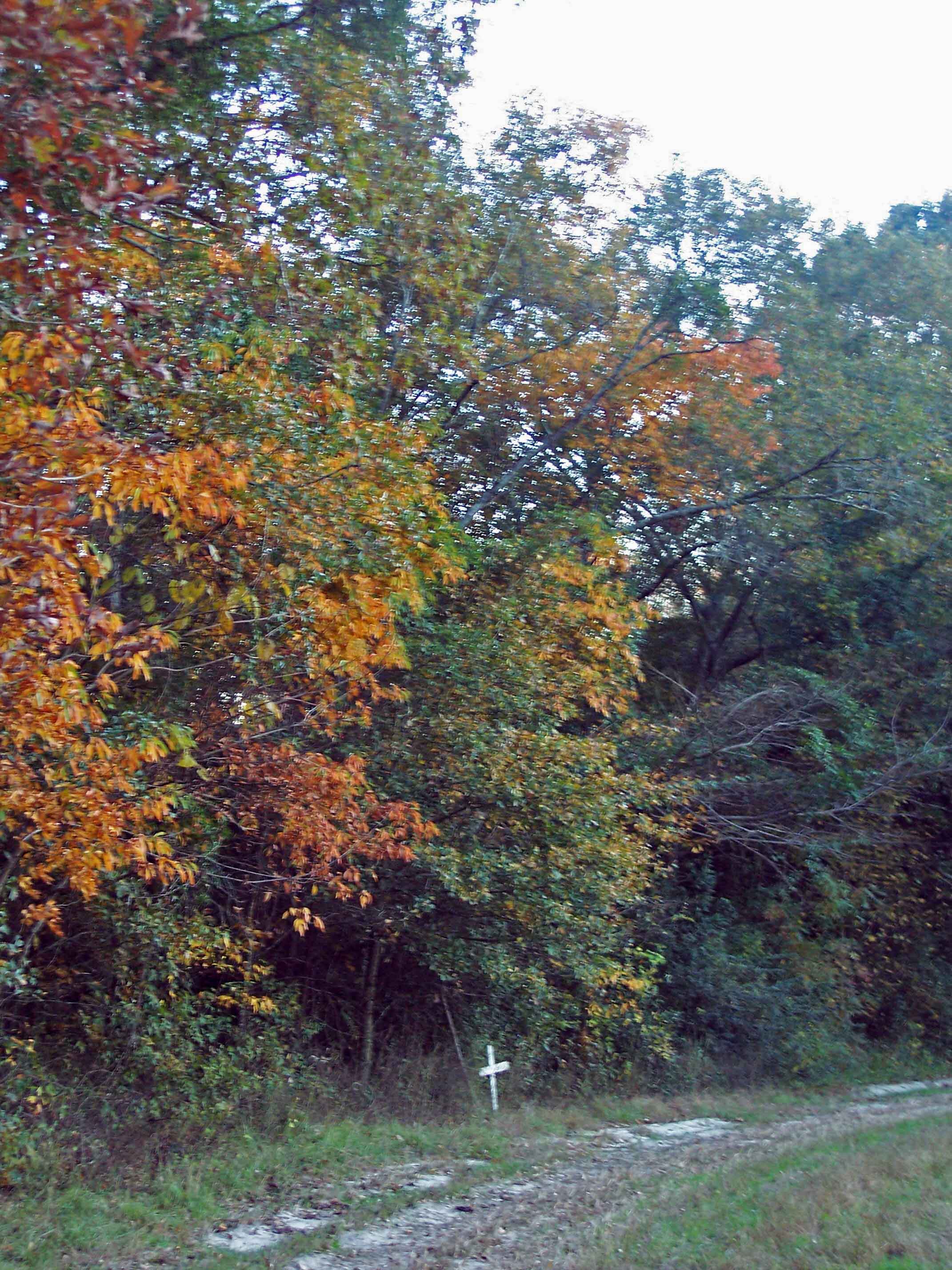
Spann Methodist Cemetery

Spann Methodist lomo

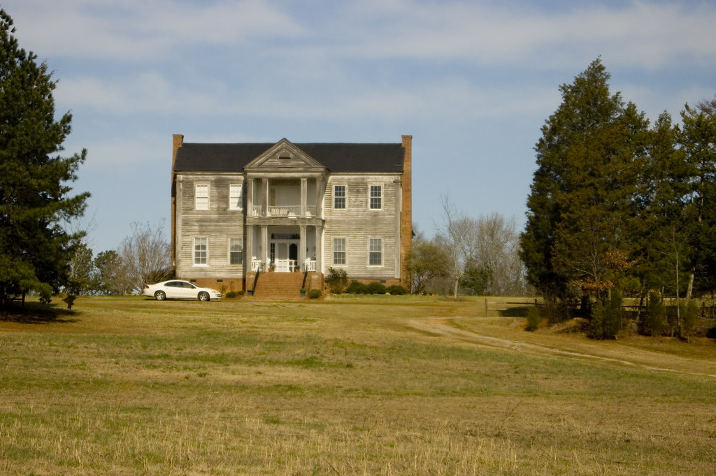
Spann Methodist

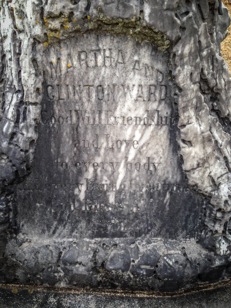
Clinton Ward
A Camelia remains
Janet Harrison Highpond Heritage Preserve
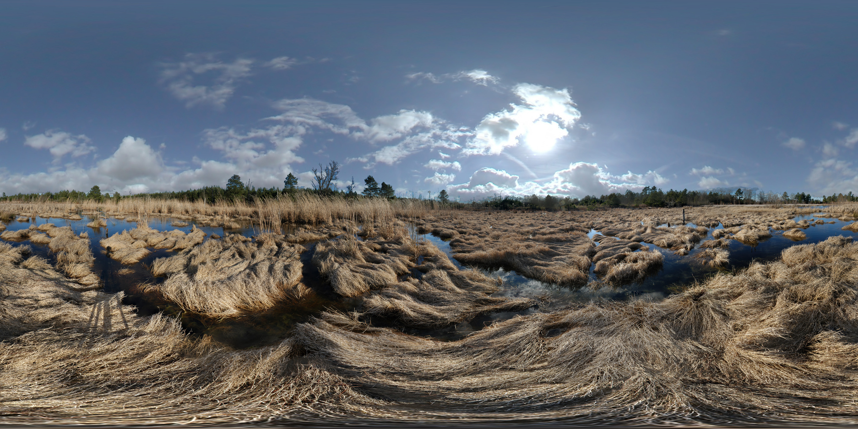
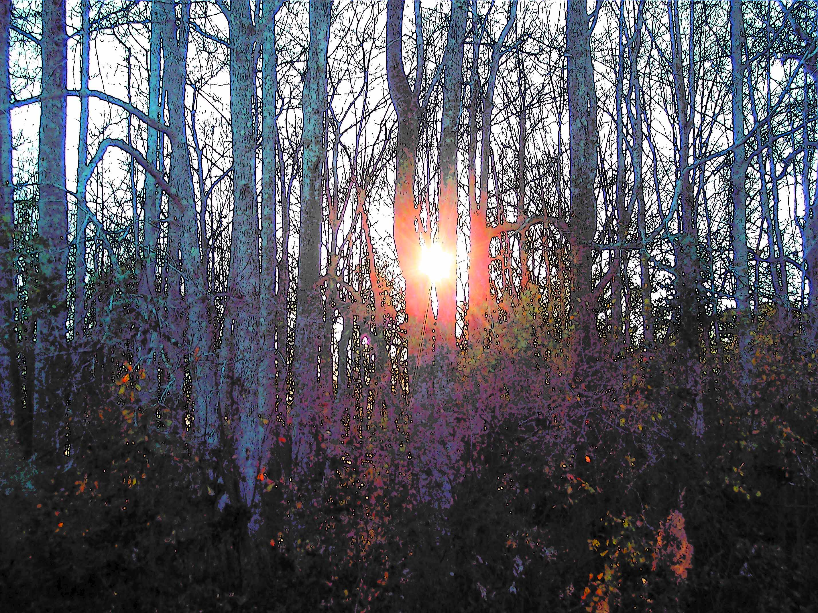
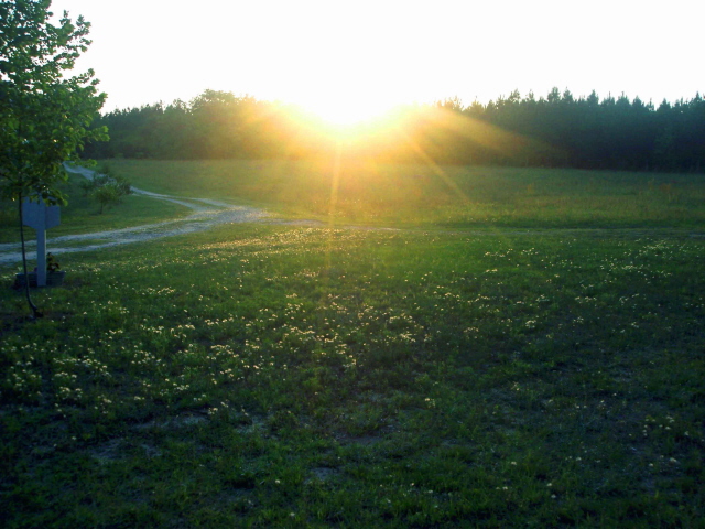
15JUL12: soft morning

Watsonia Farms

EAT THIS CAKE!

01JAN12: hospitality
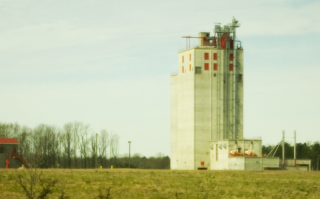
Grain Elevator

Old Gas Pump 2

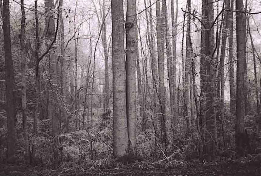
old farm house infrared
Old House

Bland Furniture

Big Mo

yellow house partial

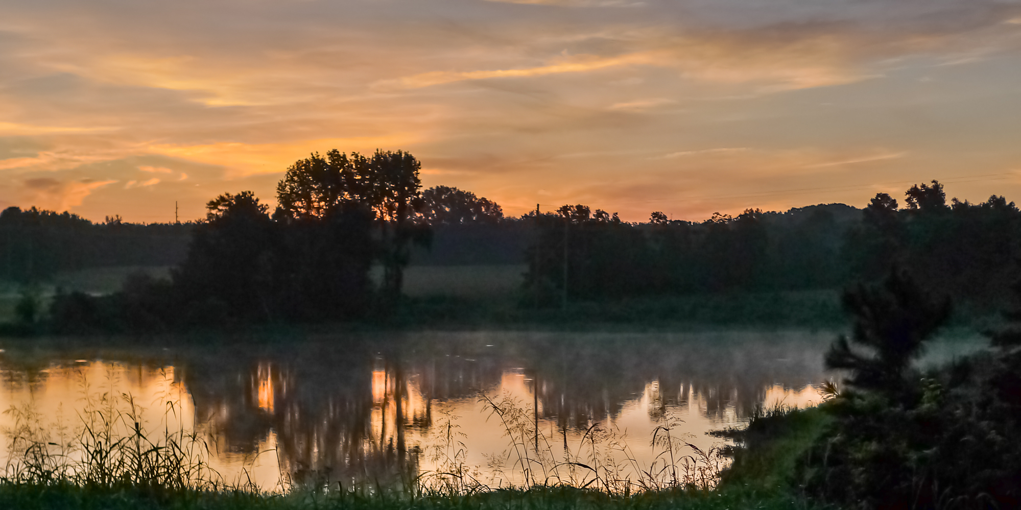
12JUL13: Satcher Pond

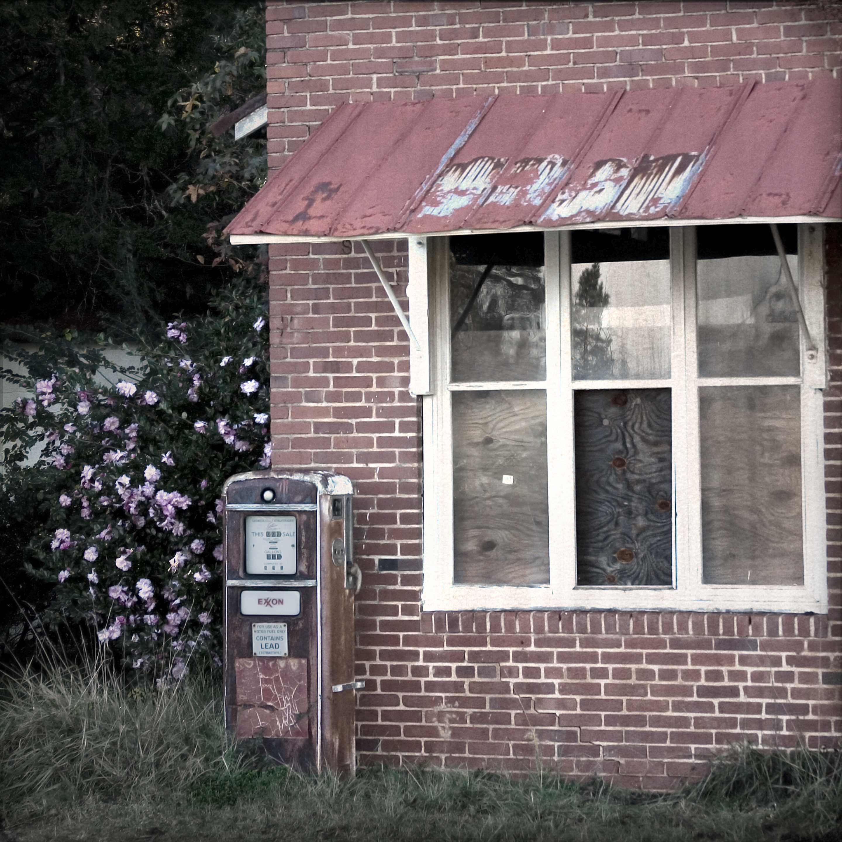
Old Gas Pump

Charleston Avenue Finite
Bubba Statue-004

Bubba Statue-008
ice storm3
Picture 001_edited-1
fall cloud
autumn at home7
ice storm2
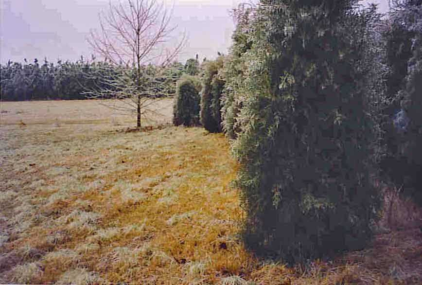
ice storm5

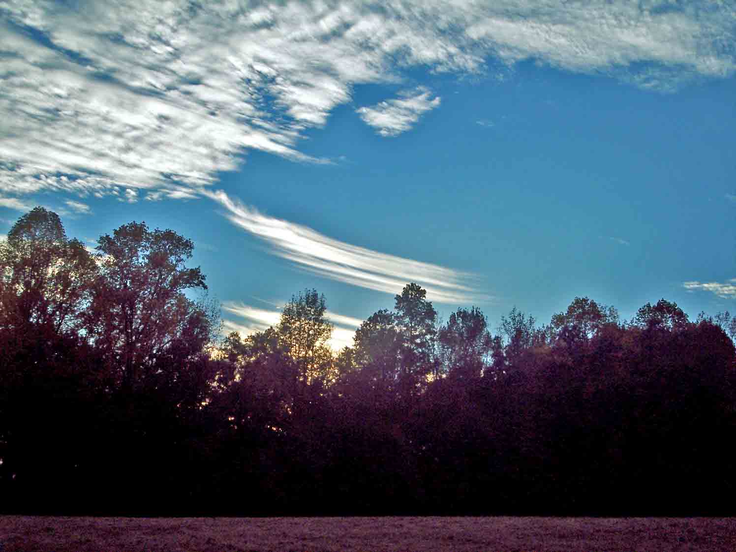
fall sky
Picture 093_edited-1

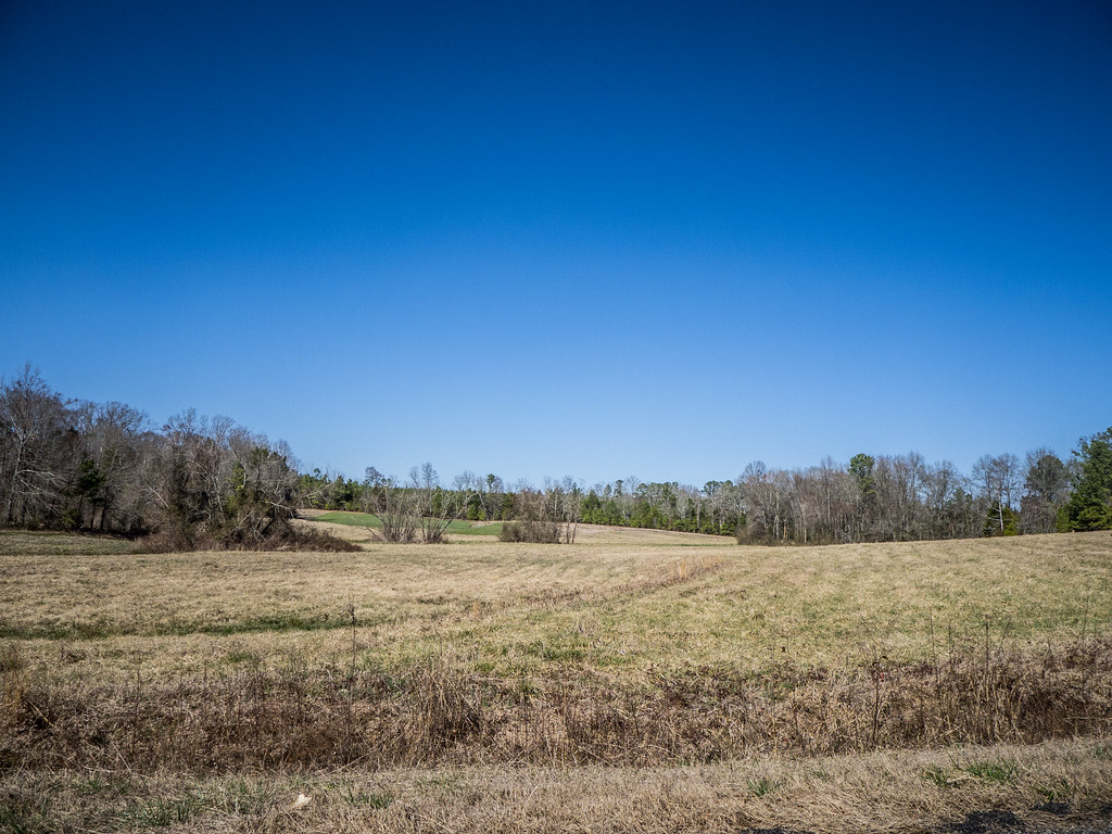
09FEB13: Scott's field
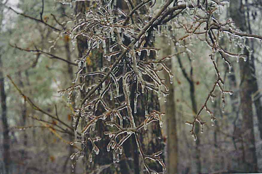
ice storm

cool water

09JUN11: tracks in the stubble
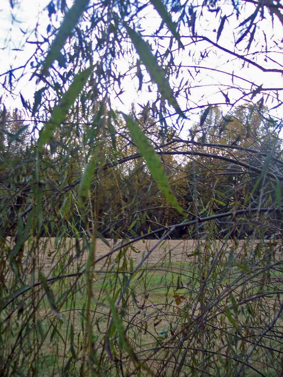
in the branches
Mount Willing-001
Picture 044

leaf in water
Topographic Map of State Rd S-41-, Ward, SC, USA
Find elevation by address:

Places near State Rd S-41-, Ward, SC, USA:
1173 Spann Rd
1246 Daniel Ave
Ward
136 State Rd S-41-118
Saluda County
State Rd S-41-, Saluda, SC, USA
202 S Main St
Saluda
SC-23, Johnston, SC, USA
Johnston
13 Veredelle Dr
38 Henry Ln
93 Bouknight Rd, Johnston, SC, USA
239 Hipp Island Rd
State Road S-41-235
221 Center Spring Rd
Youngblood Rd, Edgefield, SC, USA
Edgefield
Edgefield
327 Pine Valley Dr
Recent Searches:
- Elevation of Corso Fratelli Cairoli, 35, Macerata MC, Italy
- Elevation of Tallevast Rd, Sarasota, FL, USA
- Elevation of 4th St E, Sonoma, CA, USA
- Elevation of Black Hollow Rd, Pennsdale, PA, USA
- Elevation of Oakland Ave, Williamsport, PA, USA
- Elevation of Pedrógão Grande, Portugal
- Elevation of Klee Dr, Martinsburg, WV, USA
- Elevation of Via Roma, Pieranica CR, Italy
- Elevation of Tavkvetili Mountain, Georgia
- Elevation of Hartfords Bluff Cir, Mt Pleasant, SC, USA