Elevation of Saluda, SC, USA
Location: United States > South Carolina > Saluda County >
Longitude: -81.772052
Latitude: 34.0015232
Elevation: 147m / 482feet
Barometric Pressure: 100KPa
Elevation Map:
Satellite Map:
Related Photos:
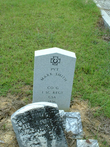
Mark Smith Grave
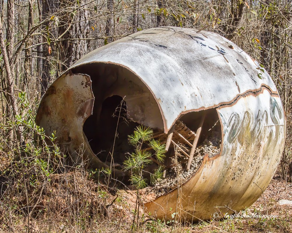
Chair in There
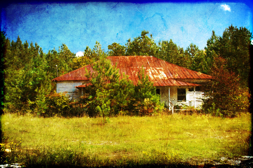
Fruit Hill School HDR Texture

Made it just in time. #sunset #lakemurray

Clinging to Life
Willow Springs School
Mount Willing-001
Emory School-001

Old South Tour-039

Old South Tour-038

Old South Tour-55

Old South Tour-037

Old South Tour-036

Old South Tour-035

Old South Tour-034

Old South Tour-033

Old South Tour-032

Old South Tour-031

Old South Tour-54

Old South Tour-53

Old South Tour-030
Old South Tour-029

Old South Tour-028

Old South Tour-027

Old South Tour-026

Old South Tour-025
Hyundai Genesis 3.8 (US)
Topographic Map of Saluda, SC, USA
Find elevation by address:

Places in Saluda, SC, USA:
Places near Saluda, SC, USA:
202 S Main St
136 State Rd S-41-118
Saluda County
State Road S-41-235
296 State Rd S-41-340
1173 Spann Rd
State Rd S-41-, Saluda, SC, USA
1246 Daniel Ave
Ward
SC-23, Johnston, SC, USA
Johnston
US-, Saluda, SC, USA
13 Veredelle Dr
Chappells
93 Bouknight Rd, Johnston, SC, USA
1814 Warner Rd
38 Henry Ln
239 Hipp Island Rd
221 Center Spring Rd
SC-39, Chappells, SC, USA
Recent Searches:
- Elevation of Corso Fratelli Cairoli, 35, Macerata MC, Italy
- Elevation of Tallevast Rd, Sarasota, FL, USA
- Elevation of 4th St E, Sonoma, CA, USA
- Elevation of Black Hollow Rd, Pennsdale, PA, USA
- Elevation of Oakland Ave, Williamsport, PA, USA
- Elevation of Pedrógão Grande, Portugal
- Elevation of Klee Dr, Martinsburg, WV, USA
- Elevation of Via Roma, Pieranica CR, Italy
- Elevation of Tavkvetili Mountain, Georgia
- Elevation of Hartfords Bluff Cir, Mt Pleasant, SC, USA