Elevation of State Rd, Marshville, NC, USA
Location: United States > North Carolina > Union County > Marshville > Marshville >
Longitude: -80.2912859
Latitude: 35.0725998
Elevation: 162m / 531feet
Barometric Pressure: 0KPa
Related Photos:

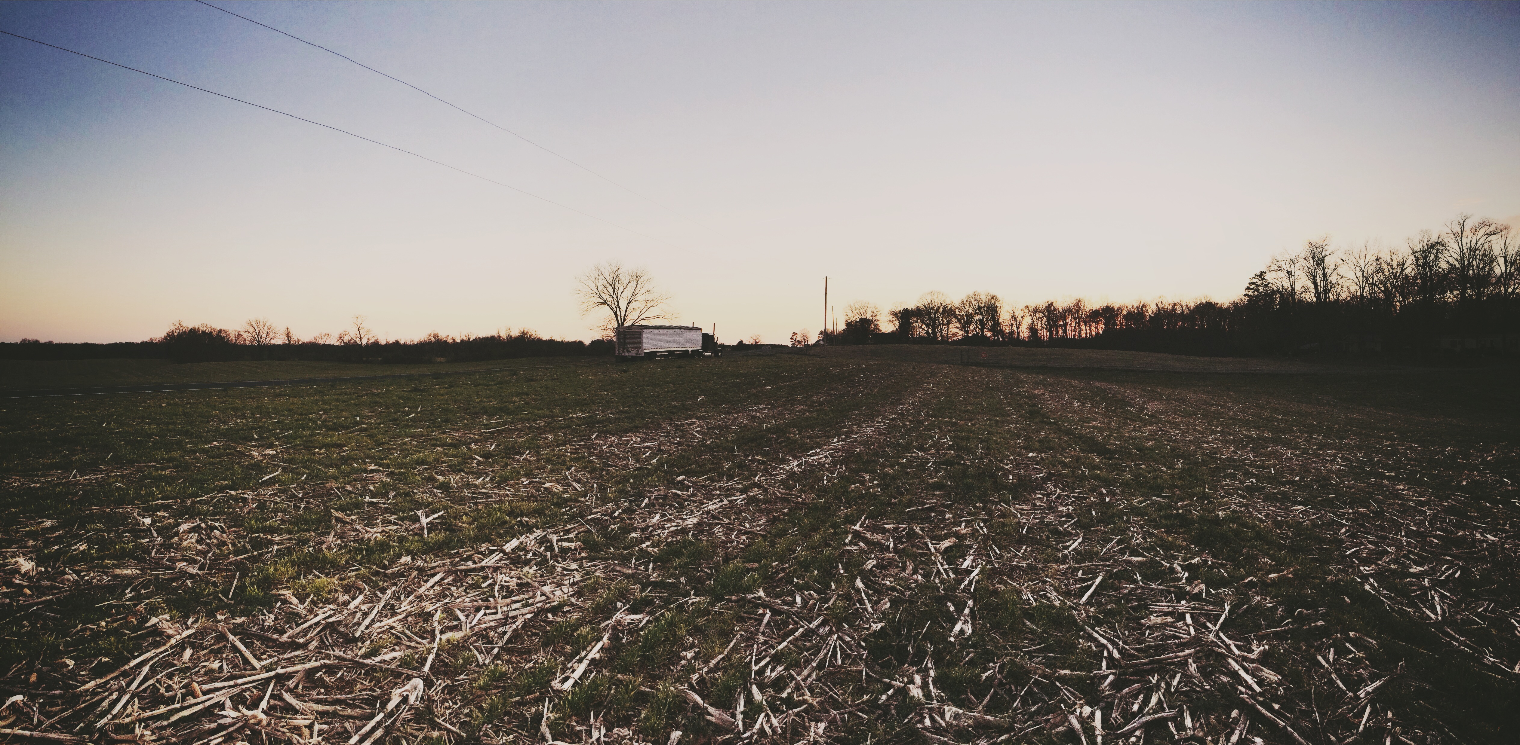
The Sudden Incendiary Splash of Dawn

#sunset #nofilter

I think I love you.
I'm not sad anymore.
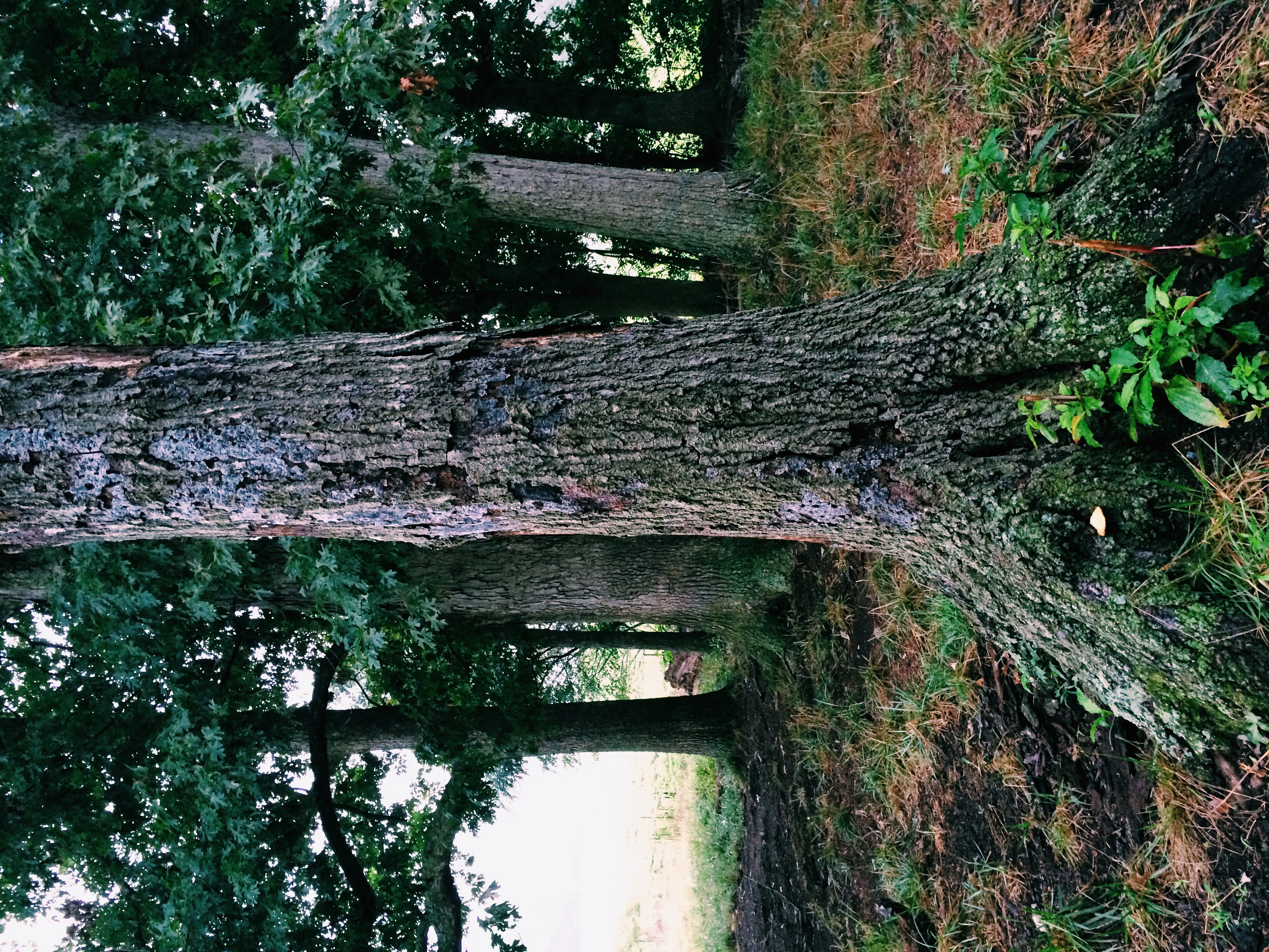
July 21 // morning fog
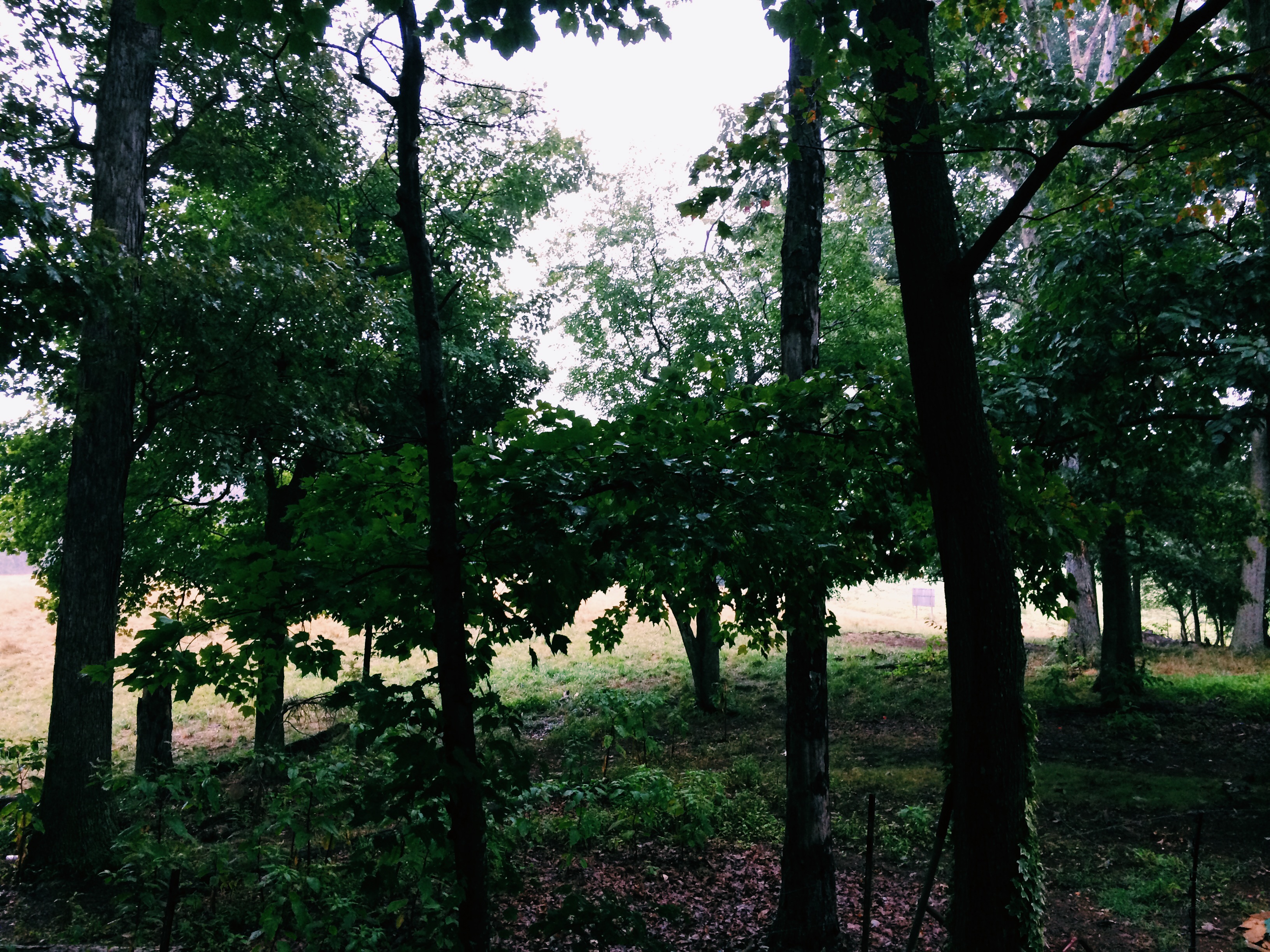
July 21 // morning fog
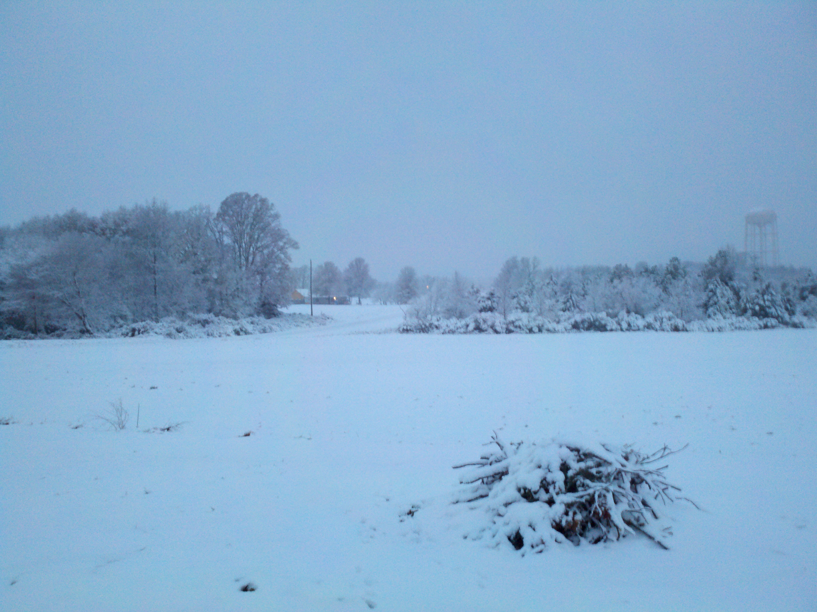
Snow!

I'm ready for fall again.

July 21 // morning fog
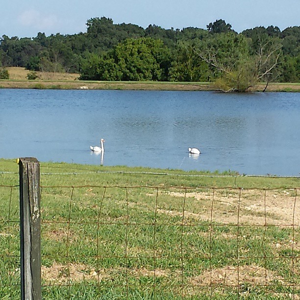
#swans #summer
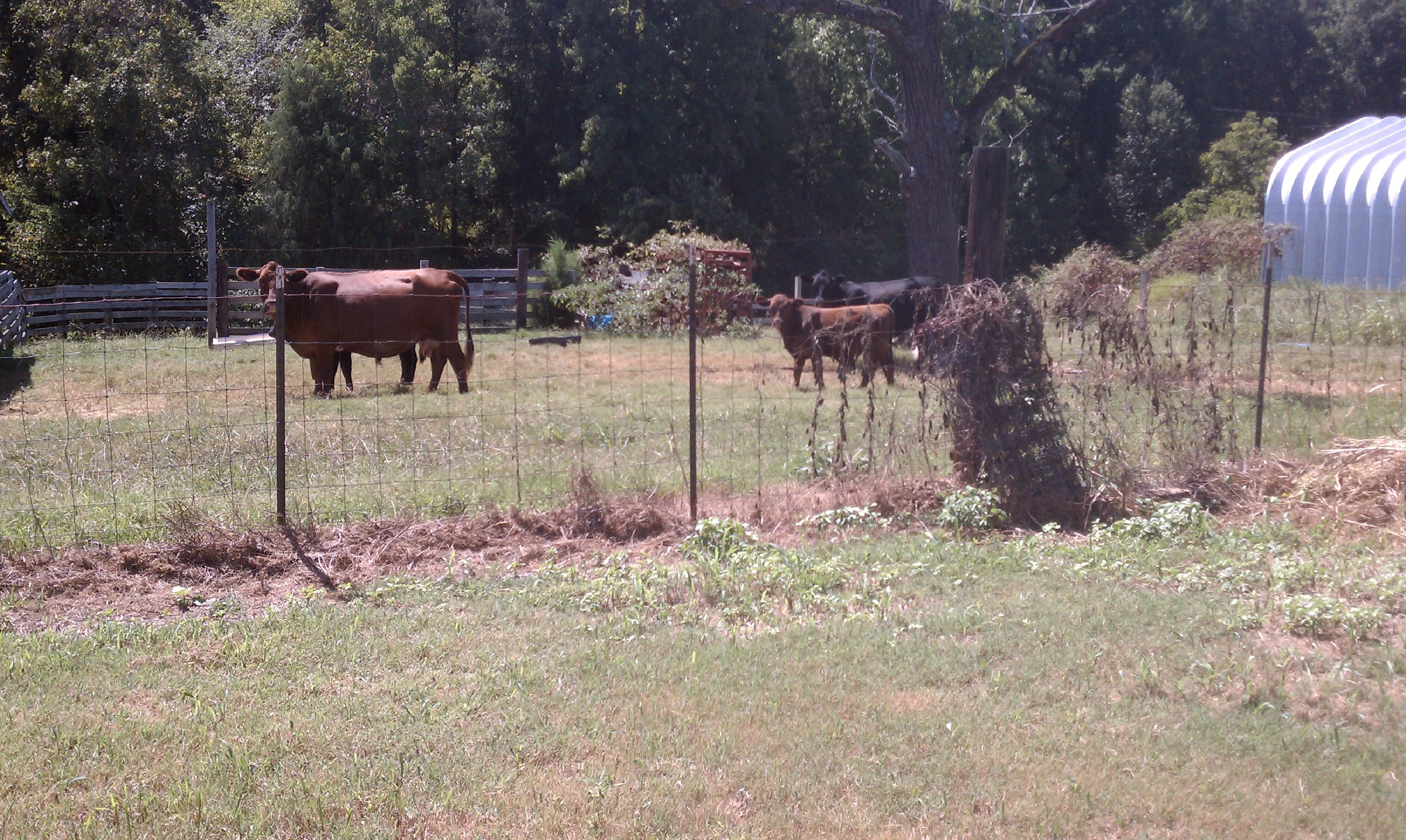
Cows on the Ag Class Grounds
Topographic Map of State Rd, Marshville, NC, USA
Find elevation by address:

Places near State Rd, Marshville, NC, USA:
7524 Burnsville Rd
394 Faulkner Rd
Old Goldmine Road
New Salem
7125 St Timothy Rd
Peachland
422 Cedar Grove Church Rd
161 Upper White Store Rd
7511 Ansonville-polkton Rd
7511 Ansonville-polkton Rd
7511 Ansonville-polkton Rd
6820 Olive Branch Rd
6814 Olive Branch Rd
Polkton
Marshville
207 S Elm St
6408 Olive Branch Rd
Marshville
4909 Sadies Pl
5421 Olive Branch Rd
Recent Searches:
- Elevation of 116, Beartown Road, Underhill, Chittenden County, Vermont, 05489, USA
- Elevation of Window Rock, Colfax County, New Mexico, 87714, USA
- Elevation of 4807, Rosecroft Street, Kempsville Gardens, Virginia Beach, Virginia, 23464, USA
- Elevation map of Matawinie, Quebec, Canada
- Elevation of Sainte-Émélie-de-l'Énergie, Matawinie, Quebec, Canada
- Elevation of Rue du Pont, Sainte-Émélie-de-l'Énergie, Matawinie, Quebec, J0K2K0, Canada
- Elevation of 8, Rue de Bécancour, Blainville, Thérèse-De Blainville, Quebec, J7B1N2, Canada
- Elevation of Wilmot Court North, 163, University Avenue West, Northdale, Waterloo, Region of Waterloo, Ontario, N2L6B6, Canada
- Elevation map of Panamá Province, Panama
- Elevation of Balboa, Panamá Province, Panama
- Elevation of San Miguel, Balboa, Panamá Province, Panama
- Elevation of Isla Gibraleón, San Miguel, Balboa, Panamá Province, Panama
- Elevation of 4655, Krischke Road, Schulenburg, Fayette County, Texas, 78956, USA
- Elevation of Carnegie Avenue, Downtown Cleveland, Cleveland, Cuyahoga County, Ohio, 44115, USA
- Elevation of Walhonding, Coshocton County, Ohio, USA
- Elevation of Clifton Down, Clifton, Bristol, City of Bristol, England, BS8 3HU, United Kingdom
- Elevation map of Auvergne-Rhône-Alpes, France
- Elevation map of Upper Savoy, Auvergne-Rhône-Alpes, France
- Elevation of Chamonix-Mont-Blanc, Upper Savoy, Auvergne-Rhône-Alpes, France
- Elevation of 908, Northwood Drive, Bridge Field, Chesapeake, Virginia, 23322, USA