Elevation of State Hwy, Trumann, AR, USA
Location: United States > Arkansas > Poinsett County > Lunsford Township >
Longitude: -90.519851
Latitude: 35.6021305
Elevation: 65m / 213feet
Barometric Pressure: 101KPa
Elevation Map:
Satellite Map:
Related Photos:

IMG_0762

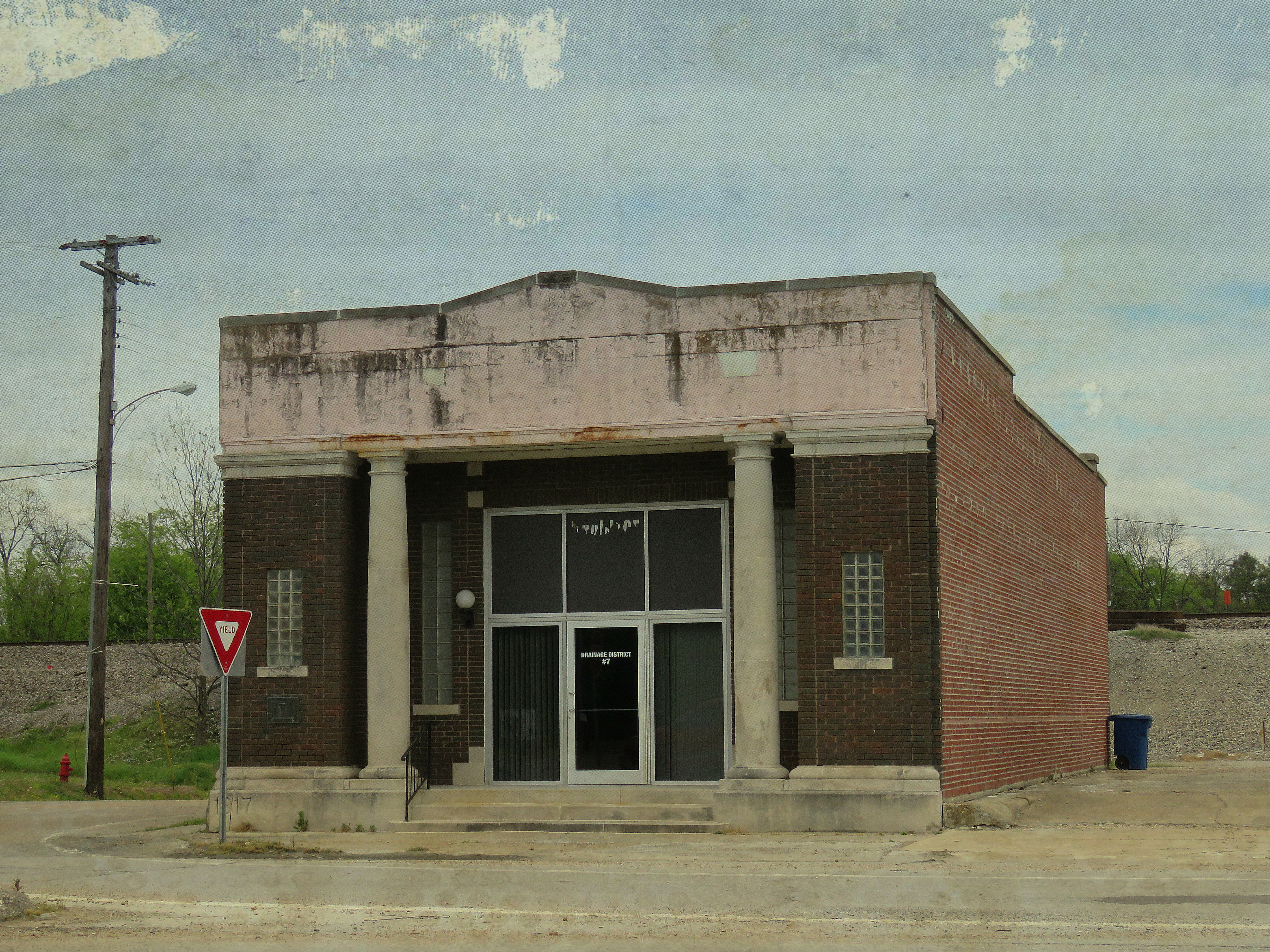
Arkansaw Rexall Drugs
Marked Tree, Arkansas

CSX SD40-2 8181
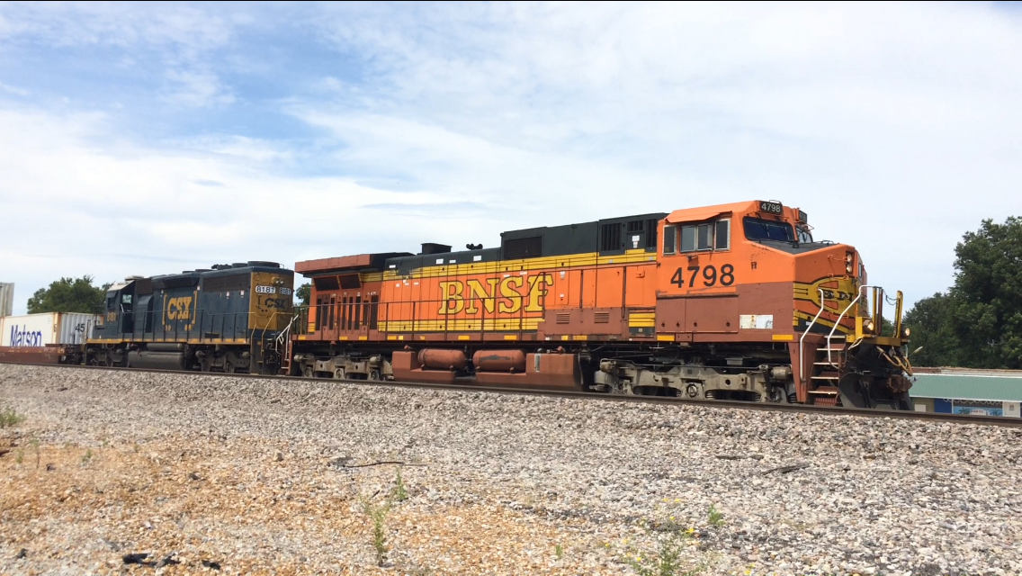
BNSF C44-9W 4798

St. Francis River lock

Marked Tree Siphons
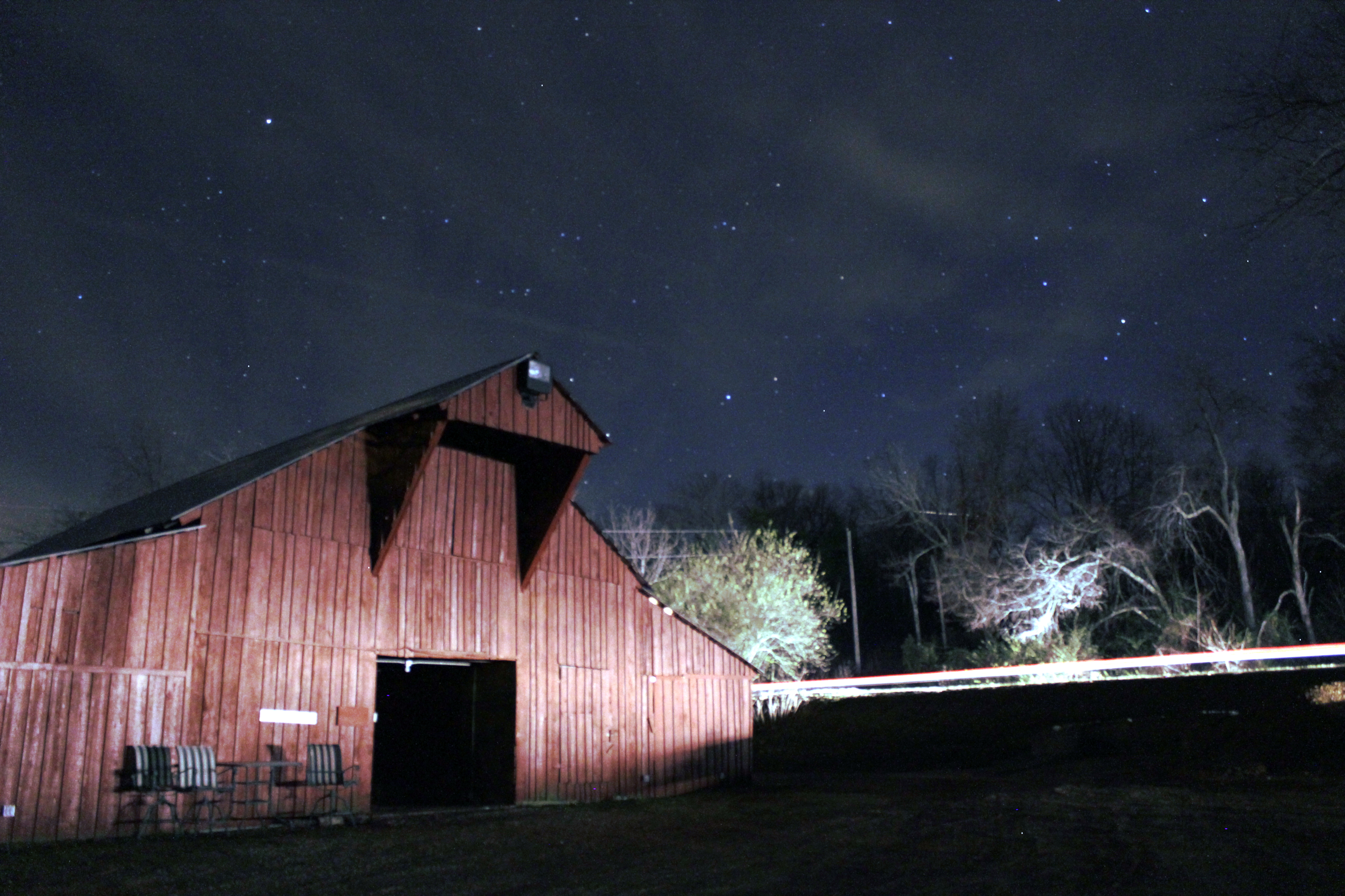
Barn under the Stars
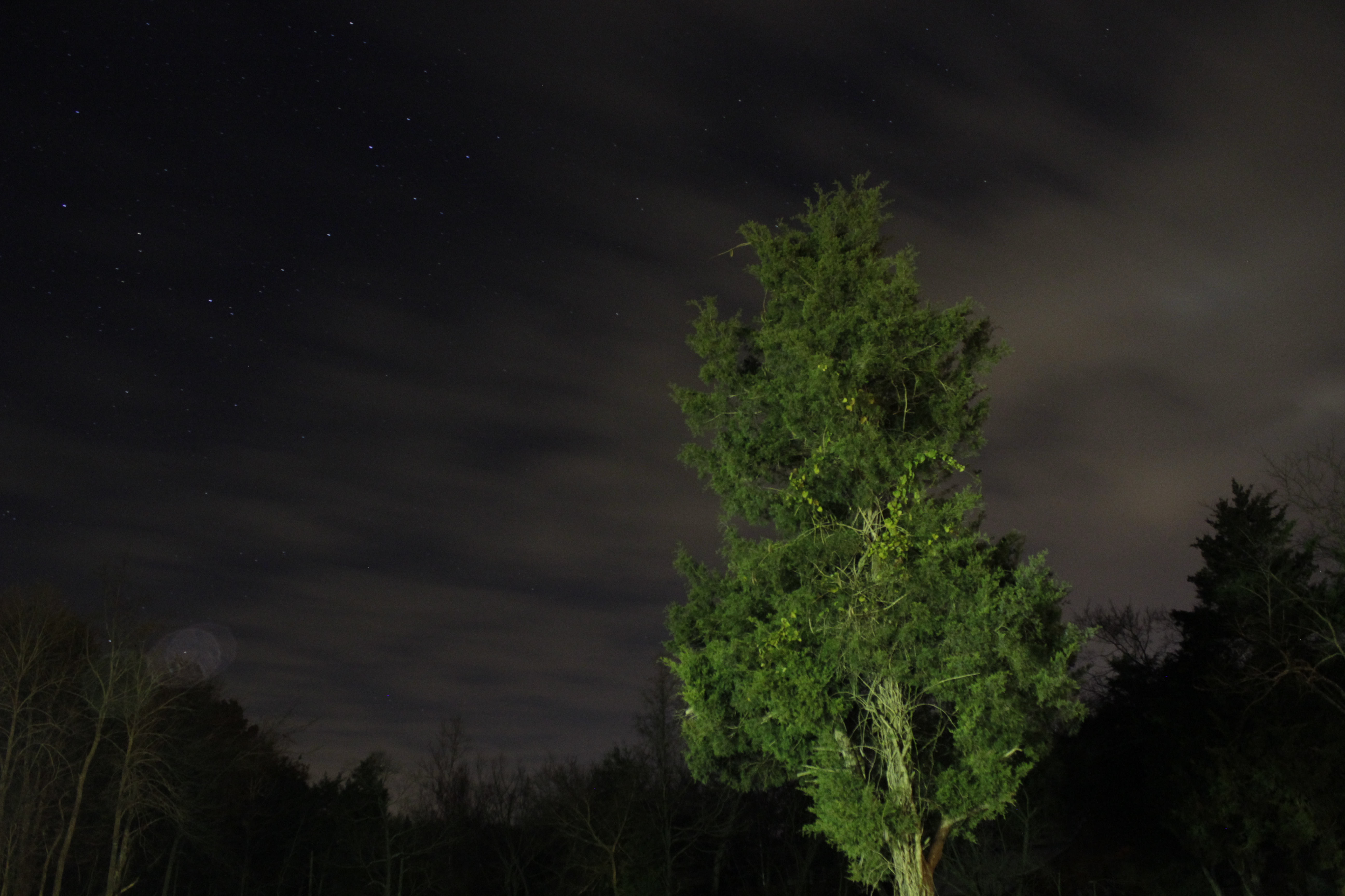
Looking Up
Day 39-42 008
Day 39-42 009

At the gardens
Future Interstate
Along Crowley's Ridge
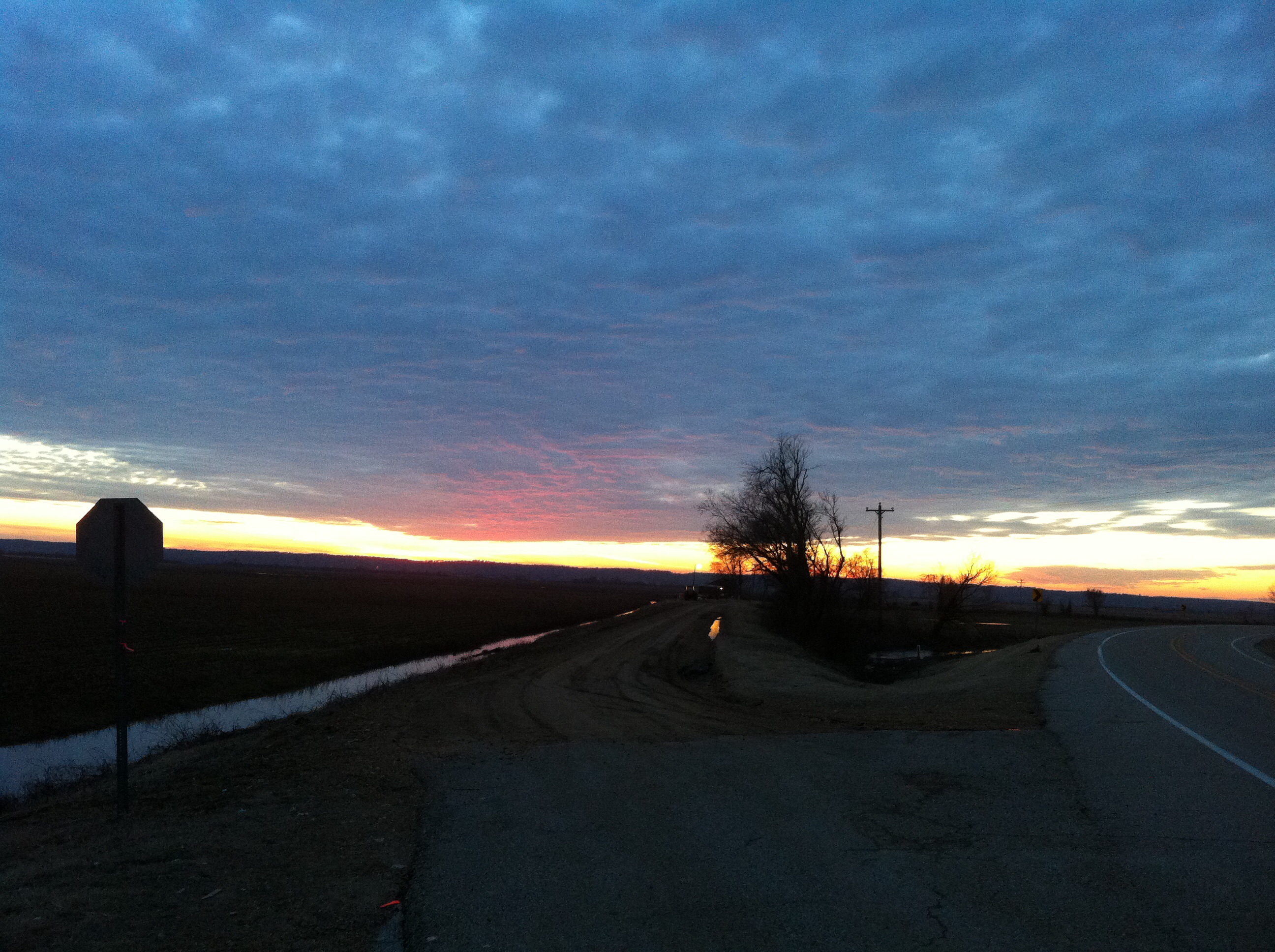
Arkansas Sunset
Topographic Map of State Hwy, Trumann, AR, USA
Find elevation by address:

Places near State Hwy, Trumann, AR, USA:
Lunsford Township
Tulot Rd, Trumann, AR, USA
Renshaw Ln, Trumann, AR, USA
Maple Grove Ln, Trumann, AR, USA
AR-14, Trumann, AR, USA
Trumann
Willis Township
AR-14, Trumann, AR, USA
AR-69, Trumann, AR, USA
Little River Township
Poinsett County
AR-69, Lake City, AR, USA
Marked Tree
Fair Rd, Marked Tree, AR, USA
Gallion Rd, Marked Tree, AR, USA
AR-75, Marked Tree, AR, USA
Bay
Taylor Township
Hwy 14 E, Harrisburg, AR, USA
AR-, Tyronza, AR, USA
Recent Searches:
- Elevation of Corso Fratelli Cairoli, 35, Macerata MC, Italy
- Elevation of Tallevast Rd, Sarasota, FL, USA
- Elevation of 4th St E, Sonoma, CA, USA
- Elevation of Black Hollow Rd, Pennsdale, PA, USA
- Elevation of Oakland Ave, Williamsport, PA, USA
- Elevation of Pedrógão Grande, Portugal
- Elevation of Klee Dr, Martinsburg, WV, USA
- Elevation of Via Roma, Pieranica CR, Italy
- Elevation of Tavkvetili Mountain, Georgia
- Elevation of Hartfords Bluff Cir, Mt Pleasant, SC, USA