Elevation of State Hwy, Somerset, KY, USA
Location: United States > Kentucky > Pulaski County > Somerset >
Longitude: -84.445052
Latitude: 37.2611256
Elevation: 317m / 1040feet
Barometric Pressure: 98KPa
Elevation Map:
Satellite Map:
Related Photos:

Fall Colors in the Fields of Rockcastle County
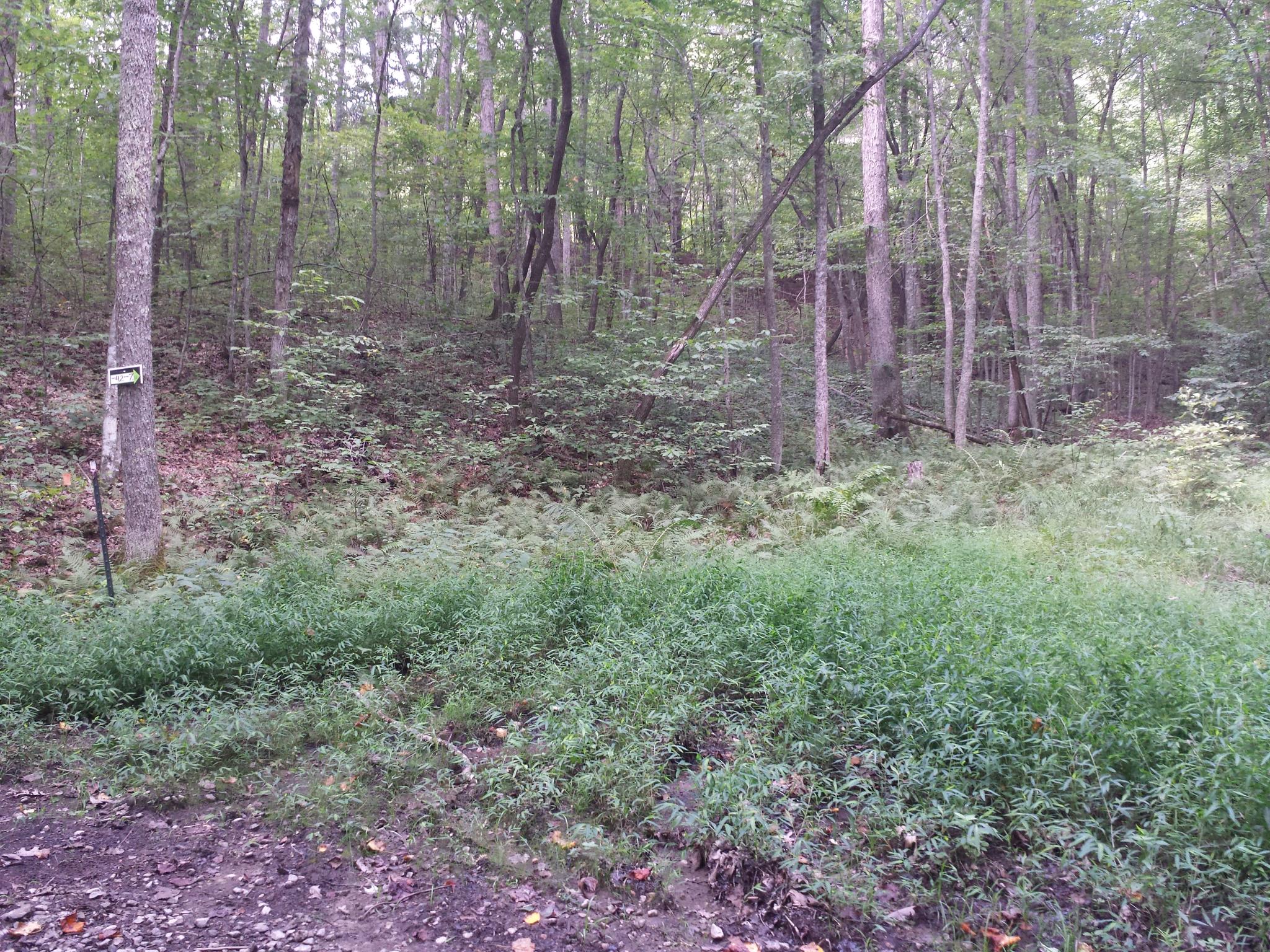
sg-tr42-015
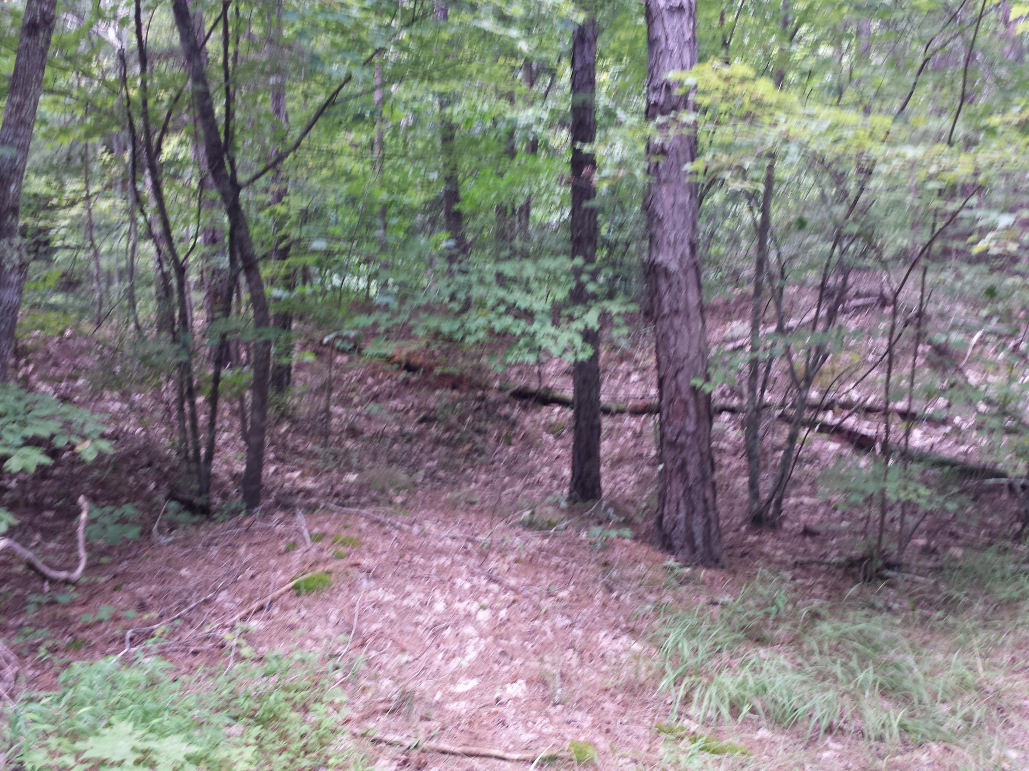
sg-tr42-005
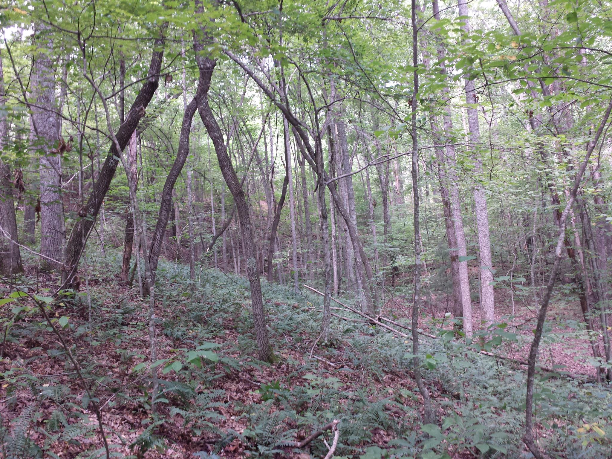
sg-tr42-018
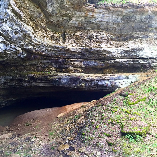
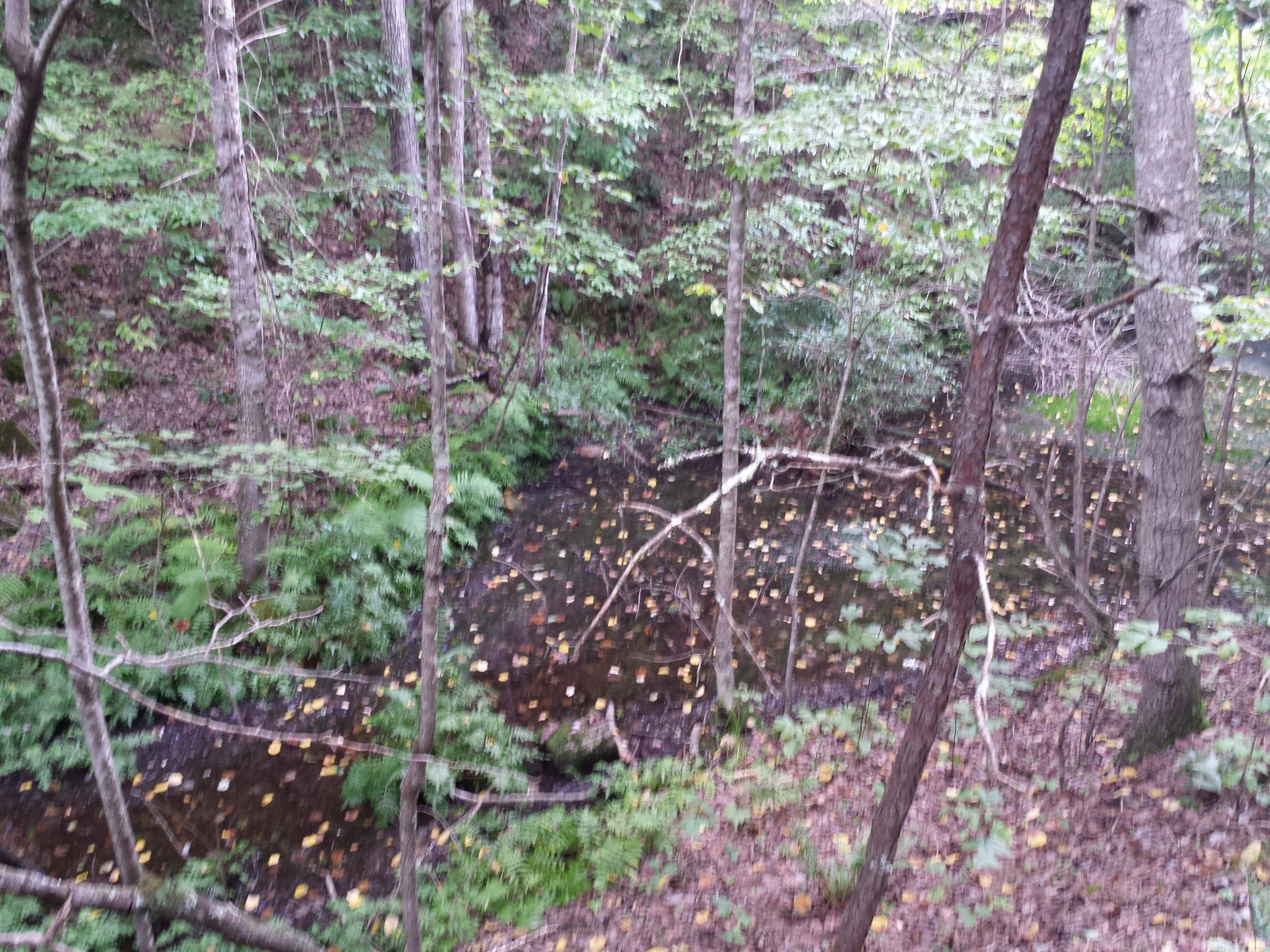
#short #creek #cave #spring #water #underground #ky #Kentucky

fields of Harvests colors
sg-tr42-030

sg-tr42-026

sg-tr42-014
sg-tr42-027

sg-tr42-036
sg-tr42-028

sg-tr42-034

sg-tr42-041

sg-tr42-039
sg-tr42-040
sg-tr42-001
sg-tr42-011
sg-tr42-004
sg-tr42-013

sg-tr42-023

sg-tr42-021
Topographic Map of State Hwy, Somerset, KY, USA
Find elevation by address:

Places near State Hwy, Somerset, KY, USA:
1280 Old Mt Vernon Rd
1350 Coal Pit Rd
8700 Ky-39
1224 Shopville Rd
Price Valley Rd, Somerset, KY, USA
326 Misty Dr
Langford-whetstone Road
25 Absher Ln
55 Alice Ln
59 E Todd Rd
122 Cricket Ln
271 Barrington Dr
134 Cherry Grove Rd
103 Combs Ln
103 Combs Ln
Floyd Switch Spur, Eubank, KY, USA
Langdon St, Somerset, KY, USA
Science Hill
Science Hill
359 Raleigh Rd
Recent Searches:
- Elevation of Corso Fratelli Cairoli, 35, Macerata MC, Italy
- Elevation of Tallevast Rd, Sarasota, FL, USA
- Elevation of 4th St E, Sonoma, CA, USA
- Elevation of Black Hollow Rd, Pennsdale, PA, USA
- Elevation of Oakland Ave, Williamsport, PA, USA
- Elevation of Pedrógão Grande, Portugal
- Elevation of Klee Dr, Martinsburg, WV, USA
- Elevation of Via Roma, Pieranica CR, Italy
- Elevation of Tavkvetili Mountain, Georgia
- Elevation of Hartfords Bluff Cir, Mt Pleasant, SC, USA