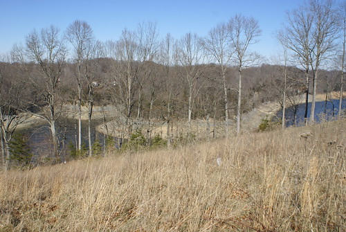
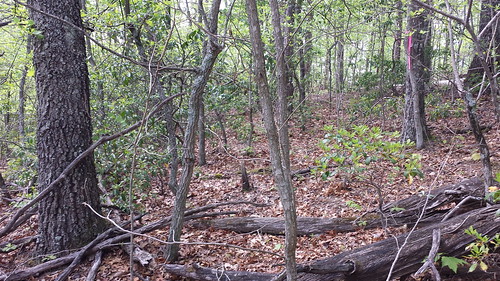
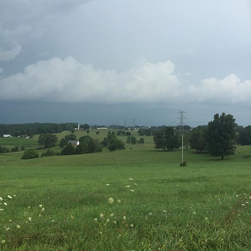
Elevation of Raleigh Rd, Science Hill, KY, USA
Location: United States > Kentucky > Pulaski County > Science Hill >
Longitude: -84.630403
Latitude: 37.1552603
Elevation: 340m / 1115feet
Barometric Pressure: 97KPa
Related Photos:
Topographic Map of Raleigh Rd, Science Hill, KY, USA
Find elevation by address:

Places near Raleigh Rd, Science Hill, KY, USA:
Langdon St, Somerset, KY, USA
Science Hill
Science Hill
122 Cricket Ln
55 Alice Ln
59 E Todd Rd
University Drive
103 Combs Ln
103 Combs Ln
511 University Drive
Huffaker Avenue
326 Misty Dr
271 Barrington Dr
E Mt Vernon St, Somerset, KY, USA
Somerset
25 Absher Ln
Floyd Switch Spur, Eubank, KY, USA
134 Cherry Grove Rd
8700 Ky-39
1224 Shopville Rd
Recent Searches:
- Elevation of Corso Fratelli Cairoli, 35, Macerata MC, Italy
- Elevation of Tallevast Rd, Sarasota, FL, USA
- Elevation of 4th St E, Sonoma, CA, USA
- Elevation of Black Hollow Rd, Pennsdale, PA, USA
- Elevation of Oakland Ave, Williamsport, PA, USA
- Elevation of Pedrógão Grande, Portugal
- Elevation of Klee Dr, Martinsburg, WV, USA
- Elevation of Via Roma, Pieranica CR, Italy
- Elevation of Tavkvetili Mountain, Georgia
- Elevation of Hartfords Bluff Cir, Mt Pleasant, SC, USA


