Elevation of State Hwy, Monticello, KY, USA
Location: United States > Kentucky > Wayne County > Monticello >
Longitude: -84.842845
Latitude: 36.763831
Elevation: 325m / 1066feet
Barometric Pressure: 0KPa
Related Photos:
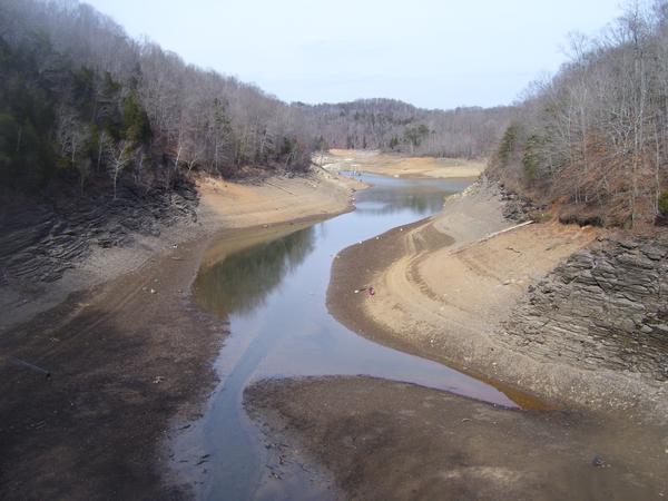
As the lake dries up at 76 Falls

2012-07-07 12.40.14.jpg

146-4636_IMG

134-3463_IMG

Post Office 42603 (Alpha, Kentucky)

Amélie -

Amélie -

Amélie -

Amélie -

Amélie -

2012-07-07 12.40.21.jpg

2012-07-07 12.40.52.jpg

2012-07-07 12.40.55.jpg

120217_BasketballatWayneCounty_071.jpg

120217_BasketballatWayneCounty_065.jpg

120217_BasketballatWayneCounty_028.jpg

120217_BasketballatWayneCounty_025.jpg

(rural) Fence Friday

Triumph of the corn

Kentucky flora

Monticello Kentucky, Wayne County KY
Topographic Map of State Hwy, Monticello, KY, USA
Find elevation by address:

Places near State Hwy, Monticello, KY, USA:
Wayne County
Burnett Hollow Rd, Monticello, KY, USA
Monticello
86 Pine St
KY-90, Monticello, KY, USA
15 Dawn Ct
Ky-, Monticello, KY, USA
Ky-, Monticello, KY, USA
Jennings Hollow Road
Lizzie Sharp Road
Lizzie Sharp
Sloan Hollow Rd, Monticello, KY, USA
95 Ky-, Monticello, KY, USA
Old Mill Springs Rd, Monticello, KY, USA
Ky-, Monticello, KY, USA
Kentucky 90
State Hwy, Albany, KY, USA
Crabtree Rd, Pall Mall, TN, USA
48 Alligator Cove, Russell Springs, KY, USA
State Hwy, Albany, KY, USA
Recent Searches:
- Elevation map of Greenland, Greenland
- Elevation of Sullivan Hill, New York, New York, 10002, USA
- Elevation of Morehead Road, Withrow Downs, Charlotte, Mecklenburg County, North Carolina, 28262, USA
- Elevation of 2800, Morehead Road, Withrow Downs, Charlotte, Mecklenburg County, North Carolina, 28262, USA
- Elevation of Yangbi Yi Autonomous County, Yunnan, China
- Elevation of Pingpo, Yangbi Yi Autonomous County, Yunnan, China
- Elevation of Mount Malong, Pingpo, Yangbi Yi Autonomous County, Yunnan, China
- Elevation map of Yongping County, Yunnan, China
- Elevation of North 8th Street, Palatka, Putnam County, Florida, 32177, USA
- Elevation of 107, Big Apple Road, East Palatka, Putnam County, Florida, 32131, USA
- Elevation of Jiezi, Chongzhou City, Sichuan, China
- Elevation of Chongzhou City, Sichuan, China
- Elevation of Huaiyuan, Chongzhou City, Sichuan, China
- Elevation of Qingxia, Chengdu, Sichuan, China
- Elevation of Corso Fratelli Cairoli, 35, Macerata MC, Italy
- Elevation of Tallevast Rd, Sarasota, FL, USA
- Elevation of 4th St E, Sonoma, CA, USA
- Elevation of Black Hollow Rd, Pennsdale, PA, USA
- Elevation of Oakland Ave, Williamsport, PA, USA
- Elevation of Pedrógão Grande, Portugal