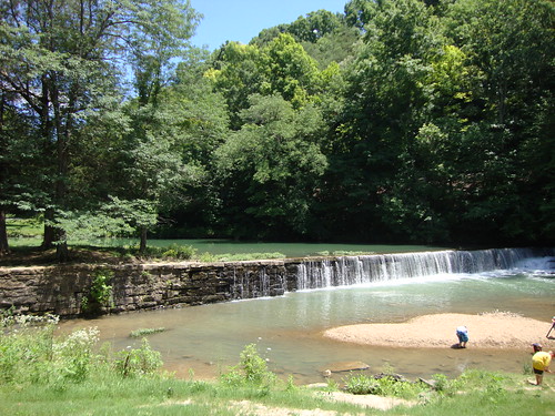
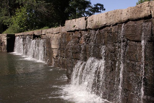
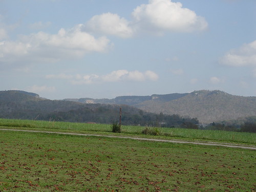
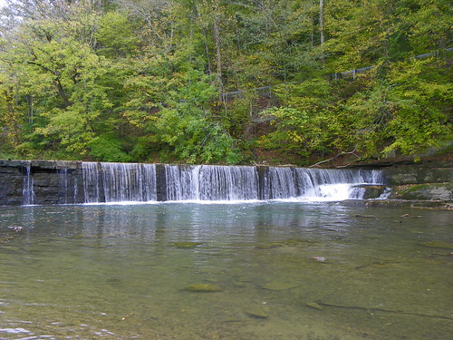
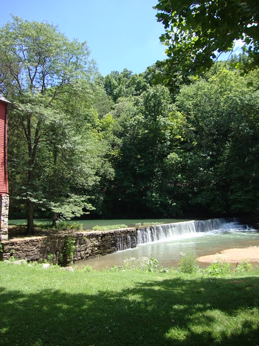
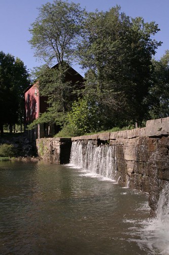
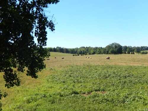
Elevation of 95 Ky-, Monticello, KY, USA
Location: United States > Kentucky > Wayne County > Monticello >
Longitude: -84.975696
Latitude: 36.6580475
Elevation: 288m / 945feet
Barometric Pressure: 98KPa
Related Photos:
Topographic Map of 95 Ky-, Monticello, KY, USA
Find elevation by address:

Places near 95 Ky-, Monticello, KY, USA:
Ky-, Monticello, KY, USA
Jennings Hollow Road
Crabtree Rd, Pall Mall, TN, USA
Ky-, Monticello, KY, USA
N York Hwy, Pall Mall, TN, USA
2609 N York Hwy
N York Hwy, Byrdstown, TN, USA
KY-90, Monticello, KY, USA
Kentucky 90
Red Hill Rd, Byrdstown, TN, USA
Wayne County
Lizzie Sharp
Ky-, Monticello, KY, USA
918 Rainbow Dr
Albany
Greenbrier Rd, Byrdstown, TN, USA
State Hwy, Albany, KY, USA
Lizzie Sharp Road
State Hwy, Monticello, KY, USA
State Hwy, Albany, KY, USA
Recent Searches:
- Elevation of Corso Fratelli Cairoli, 35, Macerata MC, Italy
- Elevation of Tallevast Rd, Sarasota, FL, USA
- Elevation of 4th St E, Sonoma, CA, USA
- Elevation of Black Hollow Rd, Pennsdale, PA, USA
- Elevation of Oakland Ave, Williamsport, PA, USA
- Elevation of Pedrógão Grande, Portugal
- Elevation of Klee Dr, Martinsburg, WV, USA
- Elevation of Via Roma, Pieranica CR, Italy
- Elevation of Tavkvetili Mountain, Georgia
- Elevation of Hartfords Bluff Cir, Mt Pleasant, SC, USA
