Elevation of State Hwy, Lebanon, KY, USA
Location: United States > Kentucky > Marion County > Lebanon >
Longitude: -85.267867
Latitude: 37.5148052
Elevation: 211m / 692feet
Barometric Pressure: 99KPa
Elevation Map:
Satellite Map:
Related Photos:
My Kentucky Home

Saint Charles

Massey Ferguson Super 35
Marion County panorama
Mt. Gilboa School
Sunnyside Saloon / Union Commissary Building

Weddings are FUN

Back Home

Back Home

Did you ever see the rain?

Yellow flowers
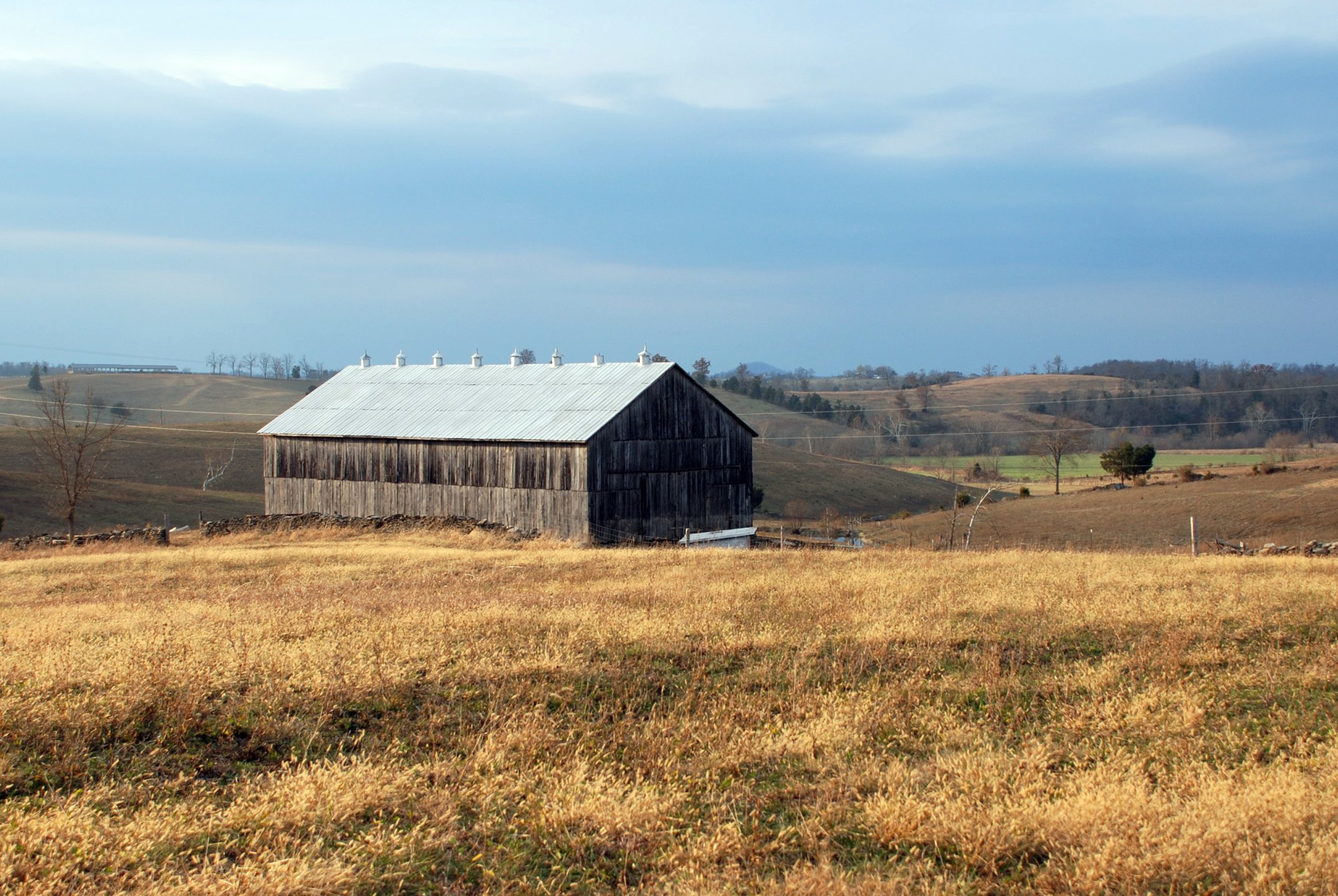
Joe Will Thompson Tobacco Barn
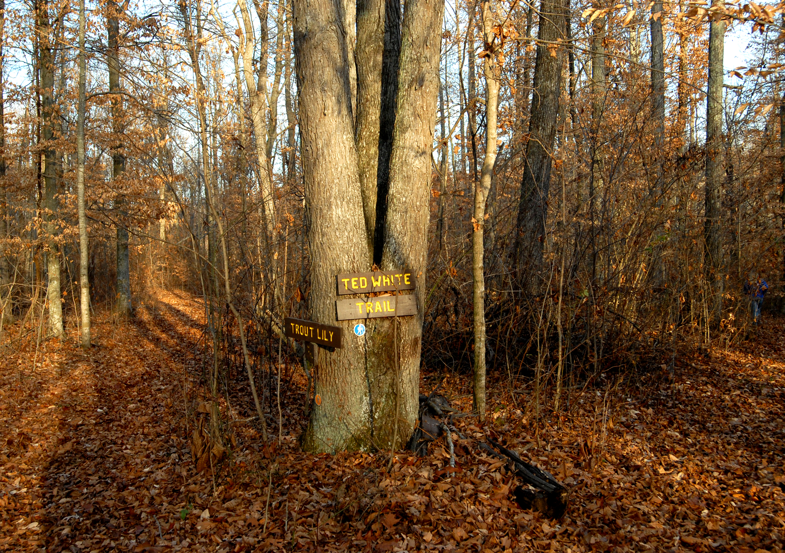
Clay Hill Memorial Forest

Kentucky Field of Yellow
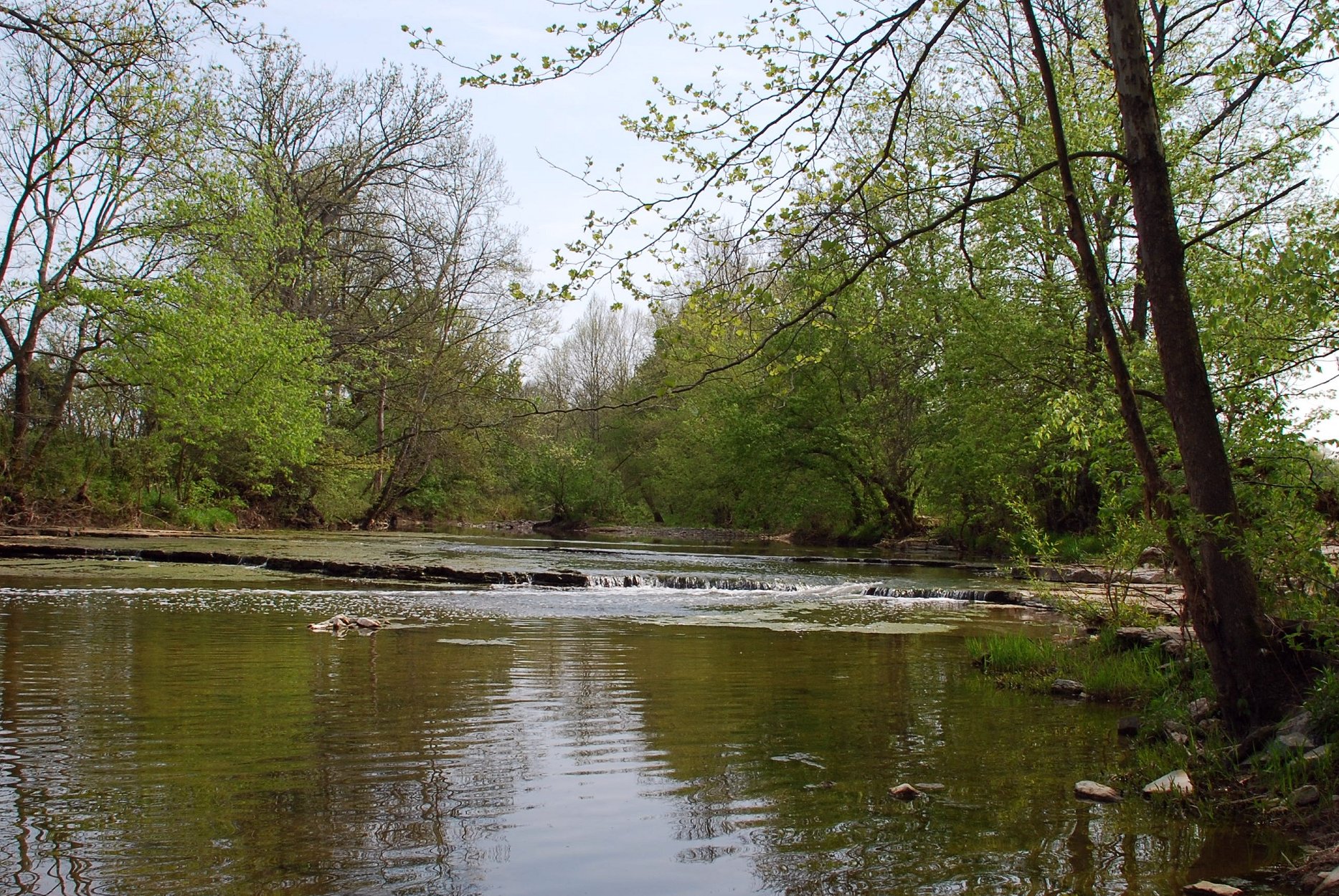
Hardin Creek
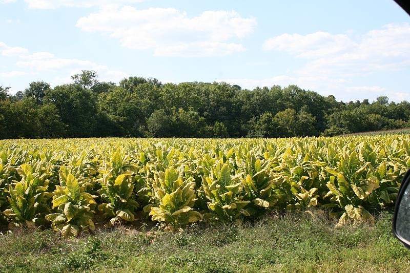
Tobacco!
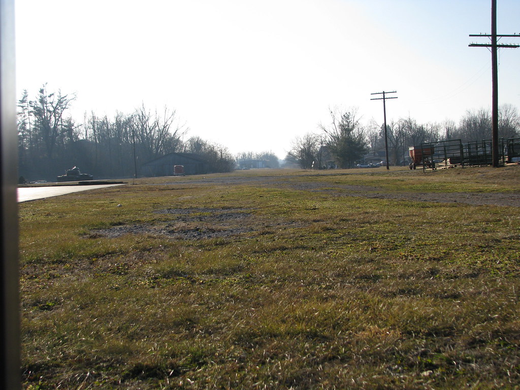
Lebanon, Ky.
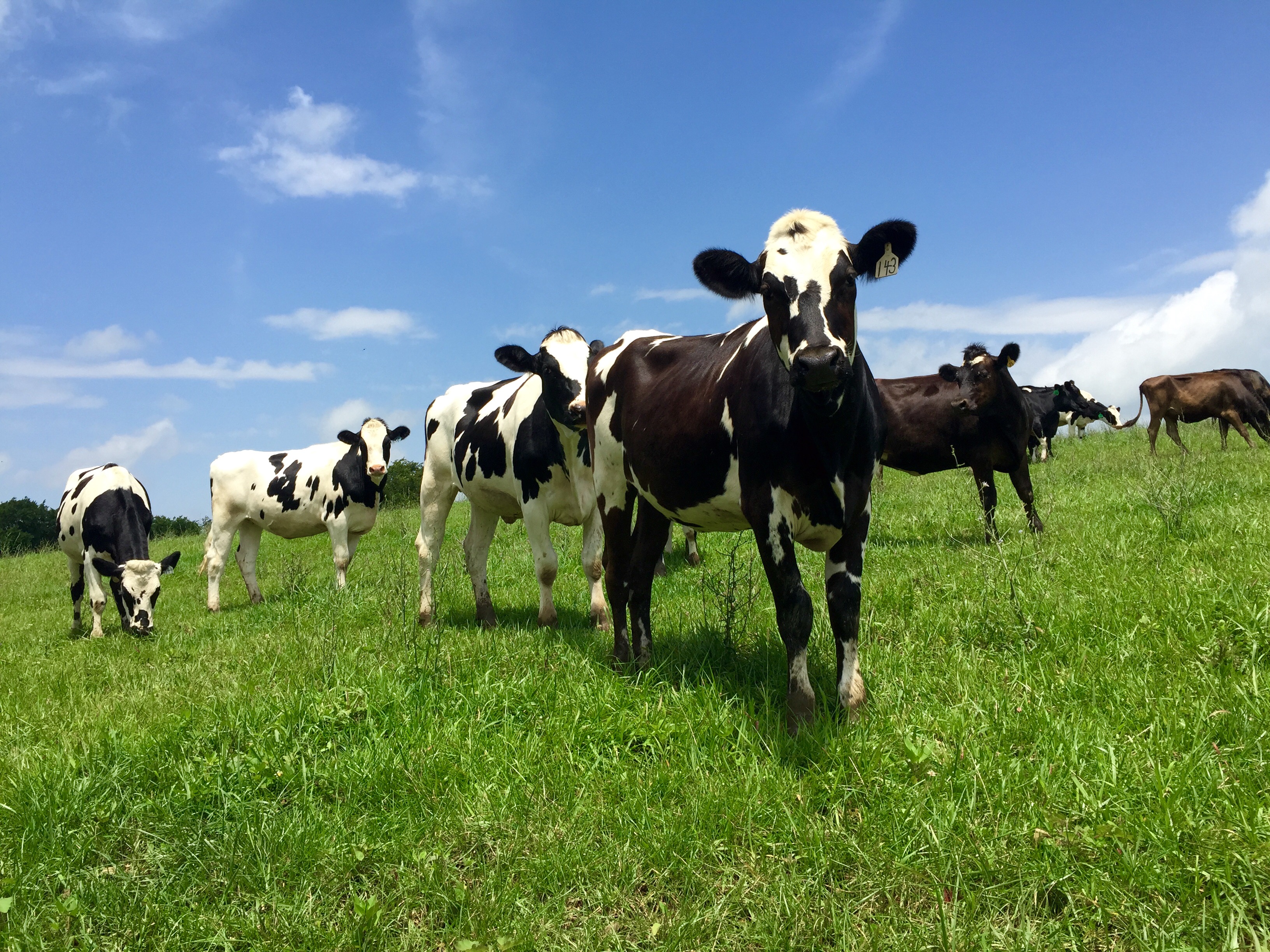
Curious cows

Kentucky fields of gold

Kentucky cows are happier cows
Topographic Map of State Hwy, Lebanon, KY, USA
Find elevation by address:

Places near State Hwy, Lebanon, KY, USA:
Old Calvary Pike, Lebanon, KY, USA
Campbellsville Rd, Lebanon, KY, USA
Lebanon
100 S Spalding Ave
Marion County
715 Slate Creek Rd
95 Wimsatt Rd, Loretto, KY, USA
1700 Old Lick Rd
3409 Jimtown Rd
3409 Jimtown Rd
Burks Spring Rd, Loretto, KY, USA
Jimtown Rd, Springfield, KY, USA
Raikes Hill Road
Springfield
Loretto Rd, Springfield, KY, USA
Loretto
Rosary Heights Rd, Springfield, KY, USA
Campbellsville
Taylor County
Campbellsville
Recent Searches:
- Elevation of Corso Fratelli Cairoli, 35, Macerata MC, Italy
- Elevation of Tallevast Rd, Sarasota, FL, USA
- Elevation of 4th St E, Sonoma, CA, USA
- Elevation of Black Hollow Rd, Pennsdale, PA, USA
- Elevation of Oakland Ave, Williamsport, PA, USA
- Elevation of Pedrógão Grande, Portugal
- Elevation of Klee Dr, Martinsburg, WV, USA
- Elevation of Via Roma, Pieranica CR, Italy
- Elevation of Tavkvetili Mountain, Georgia
- Elevation of Hartfords Bluff Cir, Mt Pleasant, SC, USA