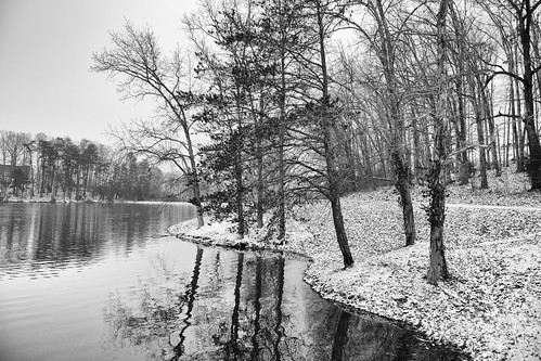
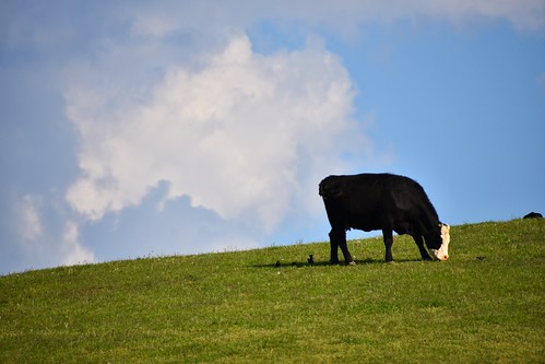
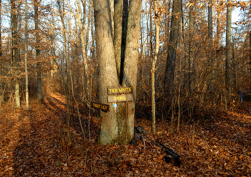
Elevation of Slate Creek Rd, Campbellsville, KY, USA
Longitude: -85.185211
Latitude: 37.4305601
Elevation: 270m / 886feet
Barometric Pressure: 98KPa
Related Photos:
Topographic Map of Slate Creek Rd, Campbellsville, KY, USA
Find elevation by address:

Places near Slate Creek Rd, Campbellsville, KY, USA:
Raikes Hill Road
1700 Old Lick Rd
State Hwy, Lebanon, KY, USA
Old Calvary Pike, Lebanon, KY, USA
Elkhorn Rd, Campbellsville, KY, USA
Elk Horn
Lebanon
100 S Spalding Ave
Campbellsville Rd, Lebanon, KY, USA
240 Little Vine Church Rd
240 Little Vine Church Rd
Marion County
Taylor County
Campbellsville
State Hwy, Clementsville, KY, USA
Clementsville
10786 State Hwy 1547
Campbellsville
KY-78, Bradfordsville, KY, USA
1701 Cooper Ridge Rd
Recent Searches:
- Elevation of Corso Fratelli Cairoli, 35, Macerata MC, Italy
- Elevation of Tallevast Rd, Sarasota, FL, USA
- Elevation of 4th St E, Sonoma, CA, USA
- Elevation of Black Hollow Rd, Pennsdale, PA, USA
- Elevation of Oakland Ave, Williamsport, PA, USA
- Elevation of Pedrógão Grande, Portugal
- Elevation of Klee Dr, Martinsburg, WV, USA
- Elevation of Via Roma, Pieranica CR, Italy
- Elevation of Tavkvetili Mountain, Georgia
- Elevation of Hartfords Bluff Cir, Mt Pleasant, SC, USA
