Elevation of State Hwy H, Lewistown, MO, USA
Location: United States > Missouri > Lewis County >
Longitude: -91.826542
Latitude: 40.1551128
Elevation: 220m / 722feet
Barometric Pressure: 99KPa
Elevation Map:
Satellite Map:
Related Photos:

Downtown Monticello, Missouri
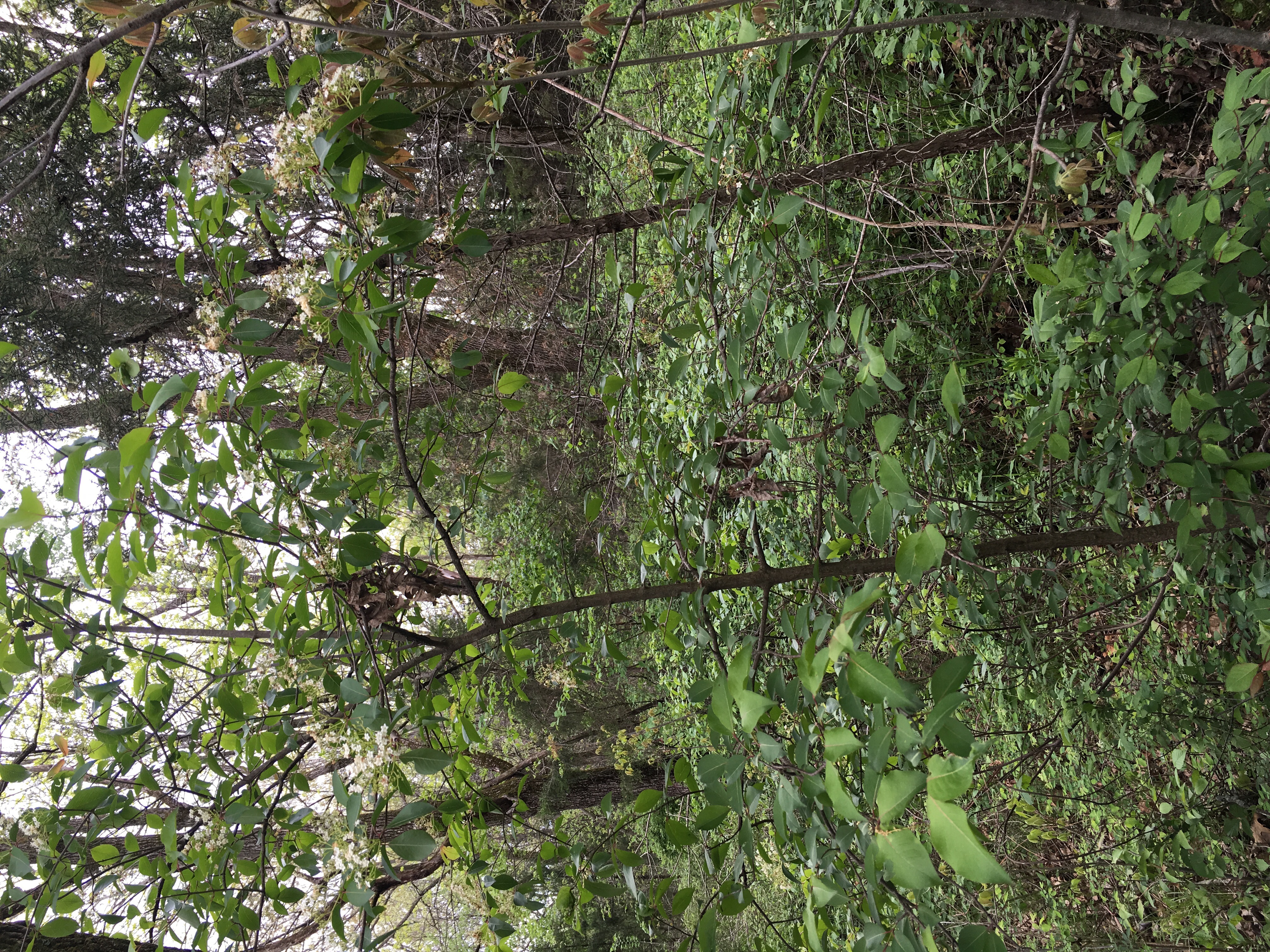
Elderberry tree

Sunset at 35,000 feet (iPhone 6 Plus)

Cedar apple rust

Elderberry flower
Elderberry bark

Orange puccoon

Indian paintbrush

Jelly ears

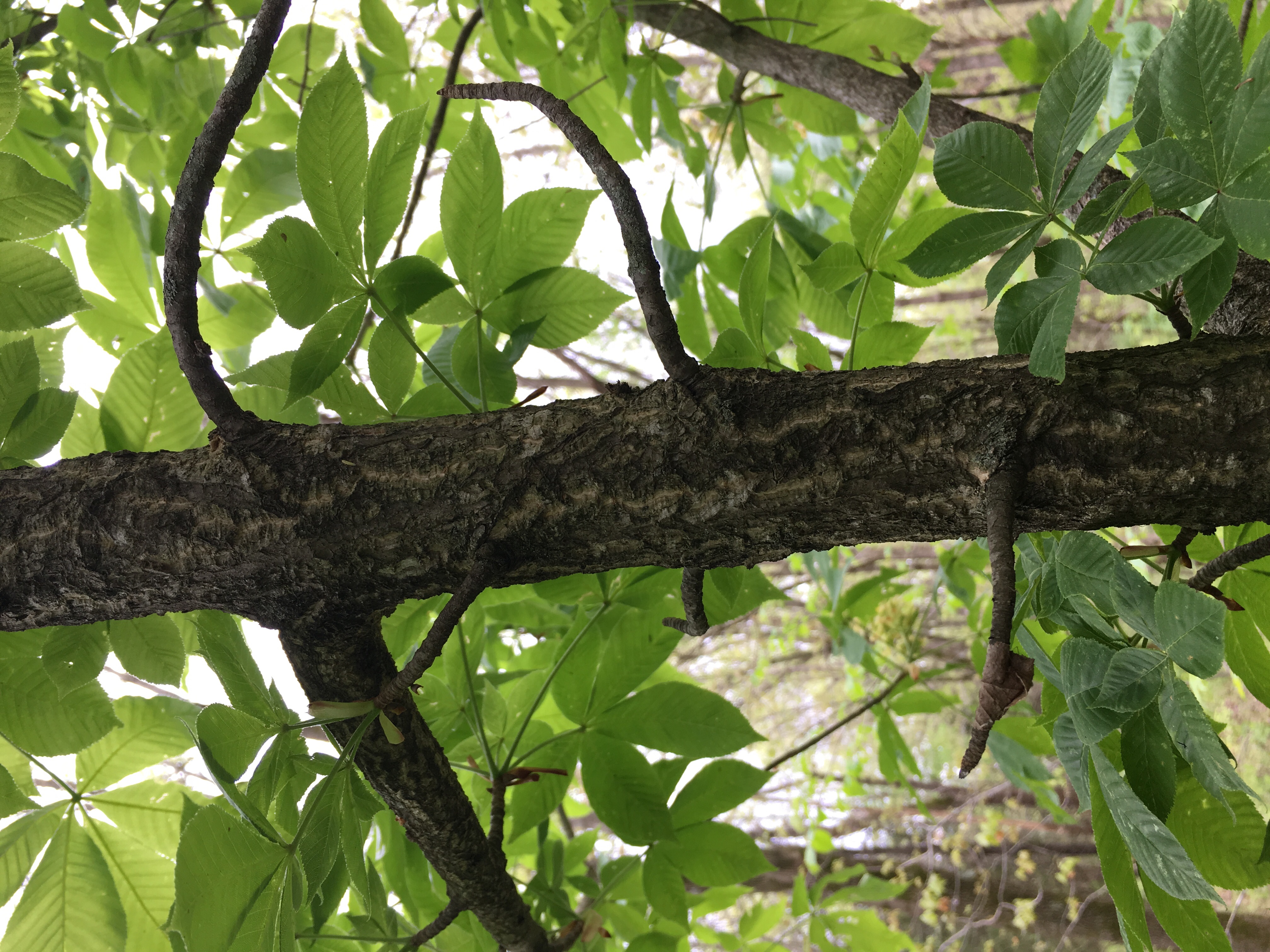
Ohio buckeye tree
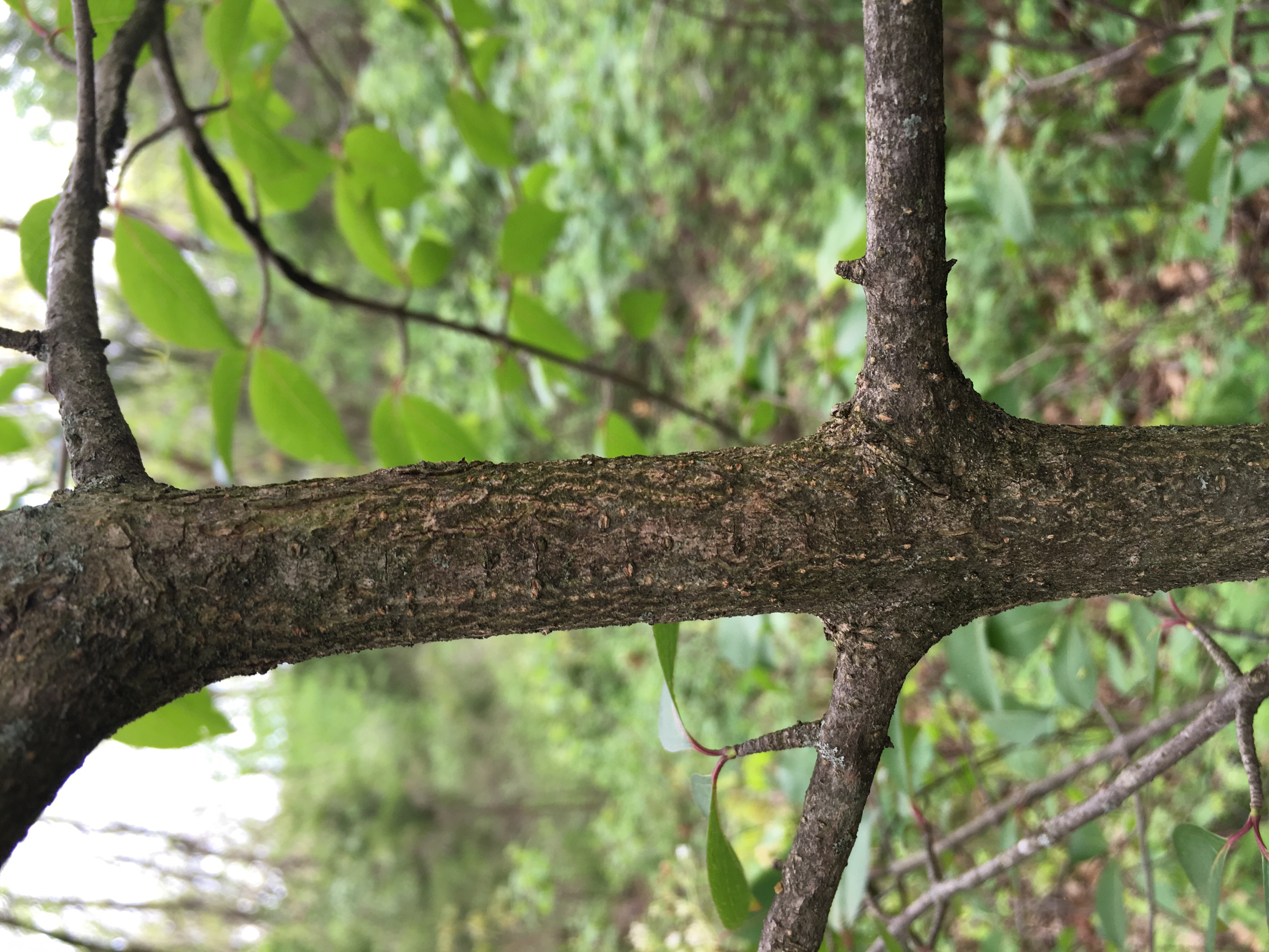
Ohio Buckeye bark
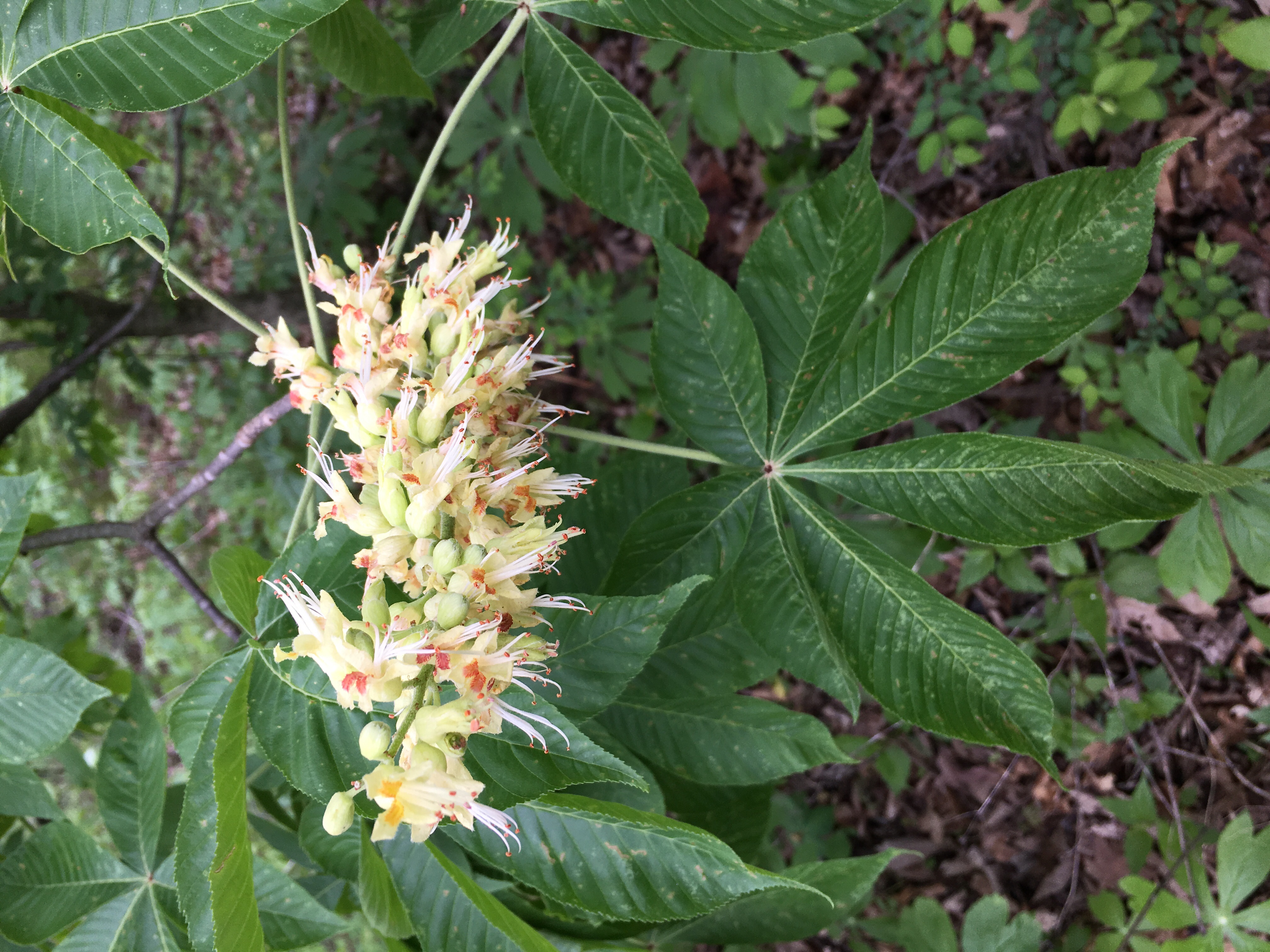
Ohio Buckeye

Lewis County Courthouse- Monticello MO (2)

Inch worm
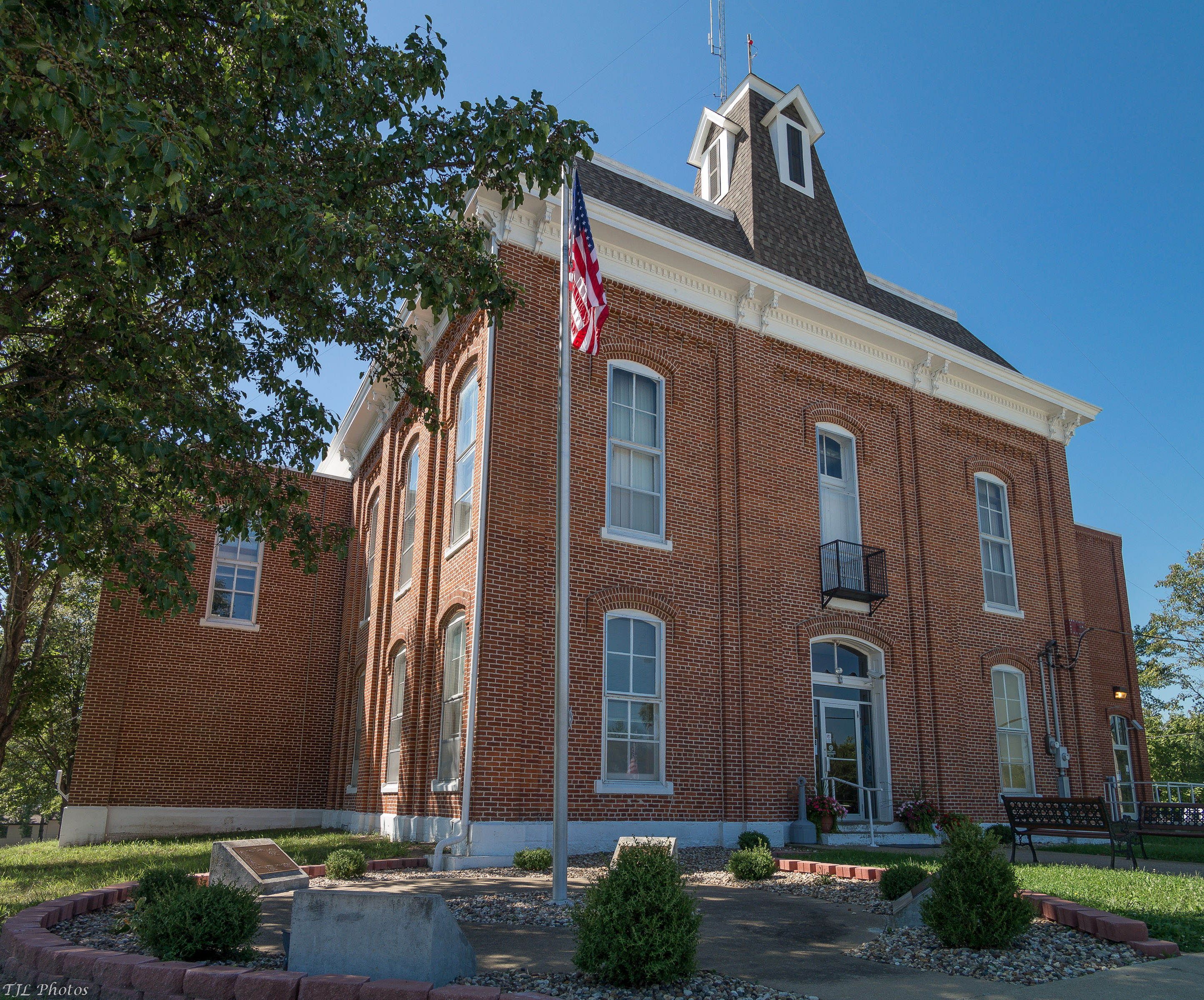
Lewis County CH

Orange puccoon (Boraginaceae, Lithospermum canescens)

Orange puccoon (Boraginaceae, Lithospermum canescens)

Blue bells (Boraginaceae, Mertensia virginica)

Nearing Chicago

Green Heron

Green Heron
Topographic Map of State Hwy H, Lewistown, MO, USA
Find elevation by address:

Places near State Hwy H, Lewistown, MO, USA:
Reddish Township
Salvage Yard Road
18689 Mo-6
21995 Mo-16
Lewis County
Co Rd, Lewistown, MO, USA
29681 County Rd 236
Union Township
Ewing
State Hwy CC, Ewing, MO, USA
Highland Township
Clark County
Jackson Township
State Hwy H, Canton, MO, USA
Canton Township
Harrison Township
M K Phillips Construction
South Gorin
Jackson St, South Gorin, MO, USA
Kahoka
Recent Searches:
- Elevation of Corso Fratelli Cairoli, 35, Macerata MC, Italy
- Elevation of Tallevast Rd, Sarasota, FL, USA
- Elevation of 4th St E, Sonoma, CA, USA
- Elevation of Black Hollow Rd, Pennsdale, PA, USA
- Elevation of Oakland Ave, Williamsport, PA, USA
- Elevation of Pedrógão Grande, Portugal
- Elevation of Klee Dr, Martinsburg, WV, USA
- Elevation of Via Roma, Pieranica CR, Italy
- Elevation of Tavkvetili Mountain, Georgia
- Elevation of Hartfords Bluff Cir, Mt Pleasant, SC, USA