Elevation of Canton Township, MO, USA
Location: United States > Missouri > Lewis County >
Longitude: -91.559611
Latitude: 40.1757481
Elevation: 196m / 643feet
Barometric Pressure: 99KPa
Elevation Map:
Satellite Map:
Related Photos:

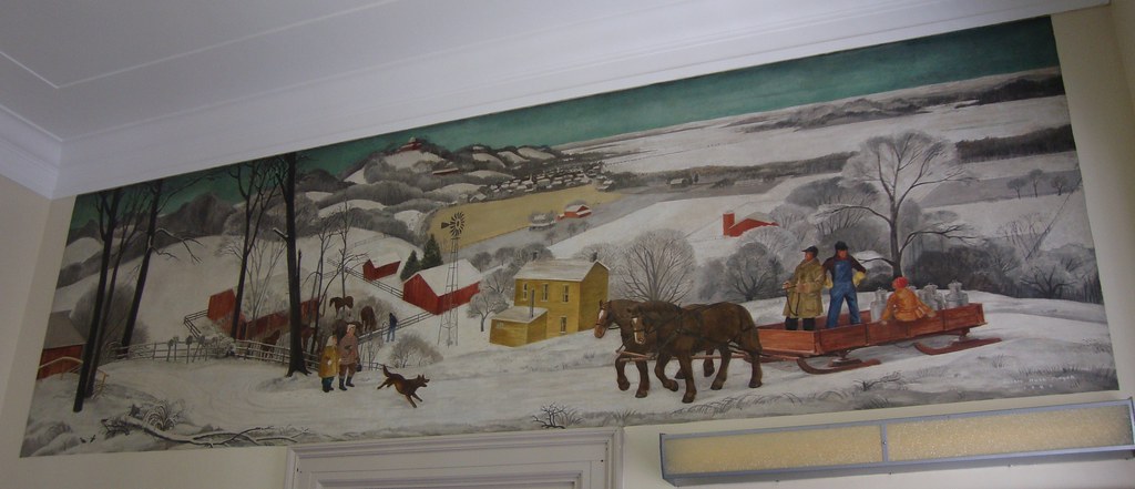
Downtown Monticello, Missouri
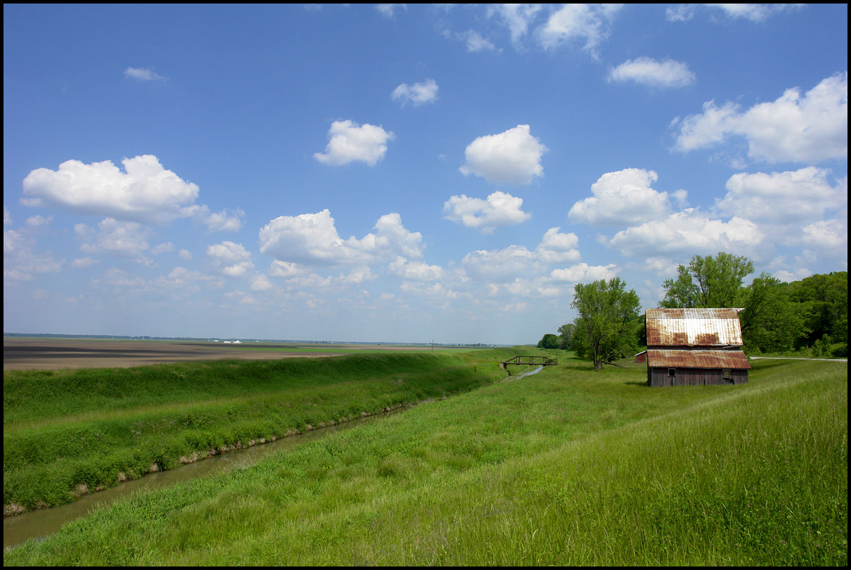
flat land, and a barn

Post oak tree

Sun in the Trees
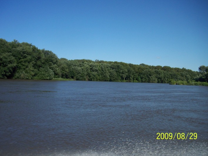
200908291702-100_9032
200908291709-100_9034
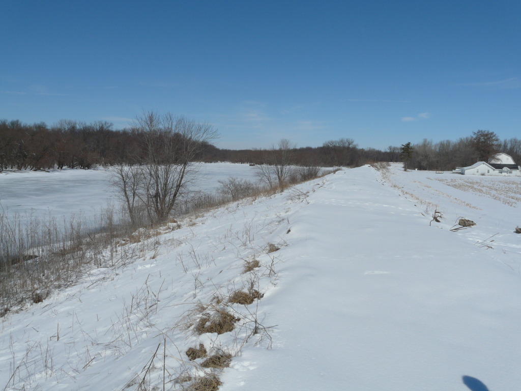
201002271149-P1050189

Sunrise over the Slough between Dillon Island and Island #419
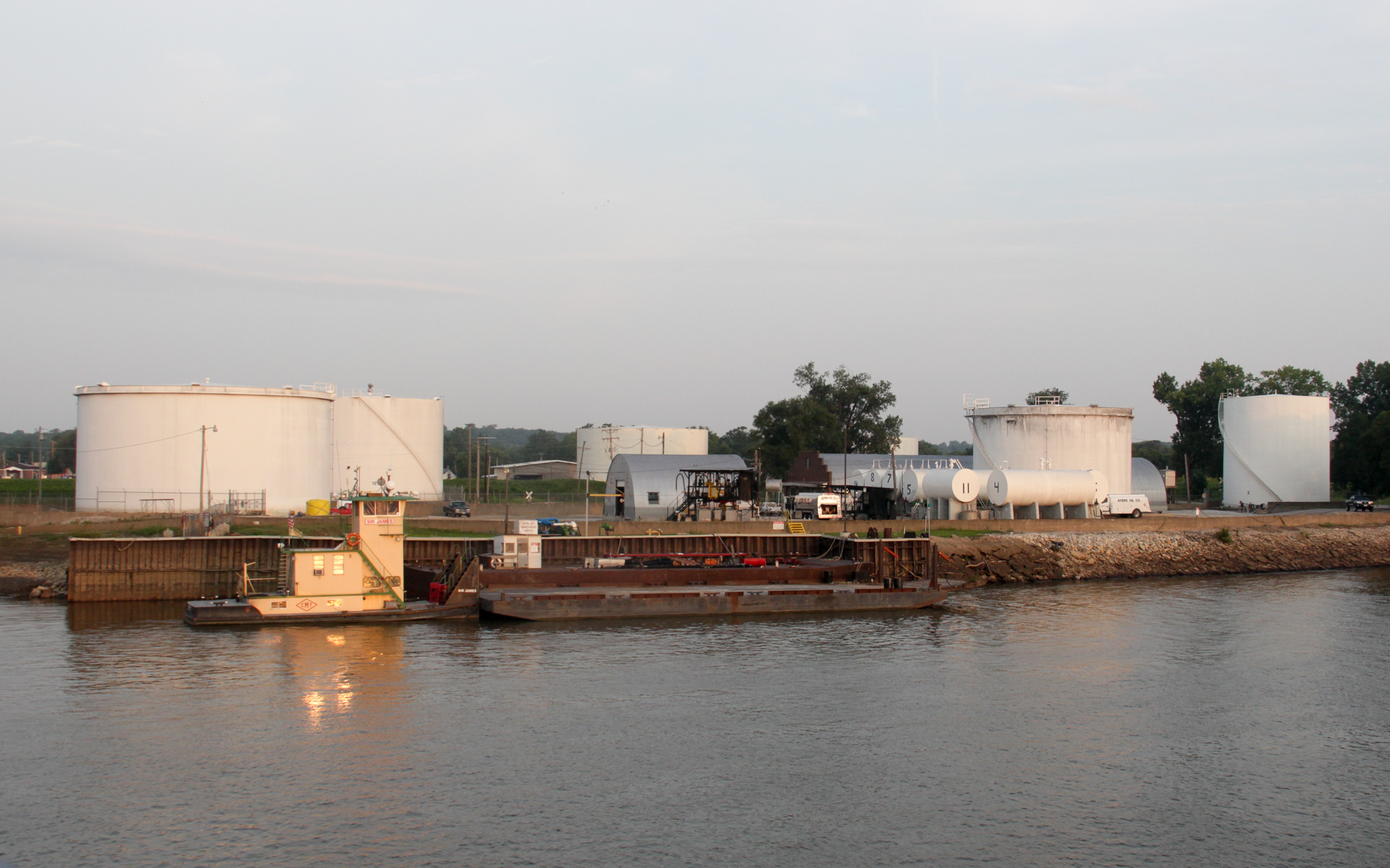
Ayers Oil Company Depot
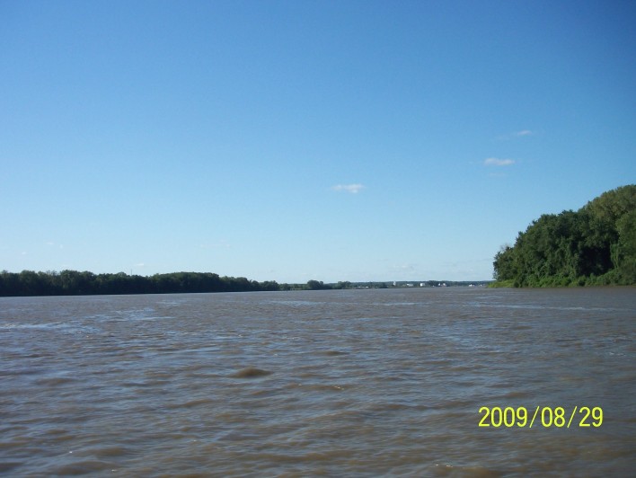
200908291701-100_9031

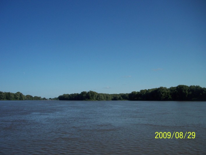
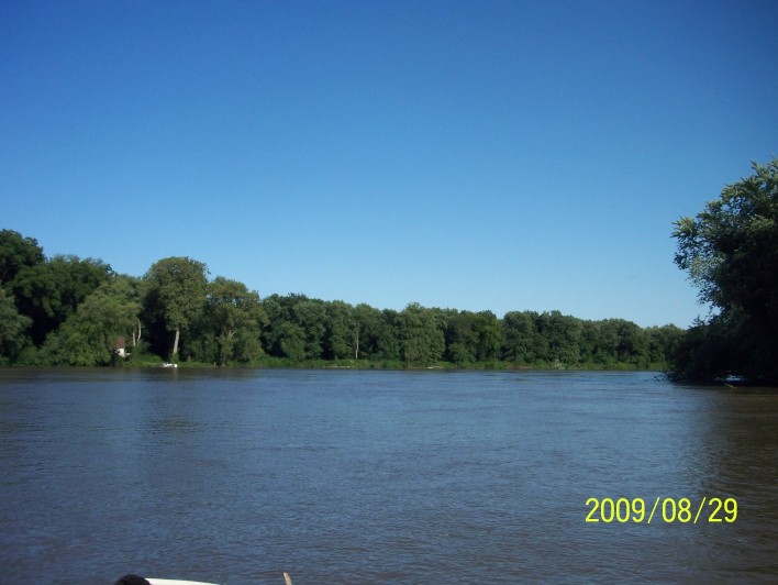
Canton Ferry, Mississippi River

Canton Ferry, Mississippi River
Post Office 63435 (Canton, Missouri)
200908291700-100_9028
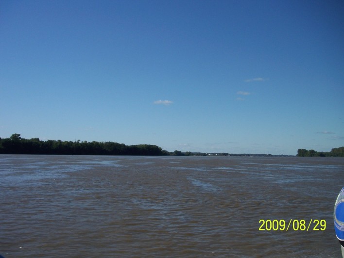
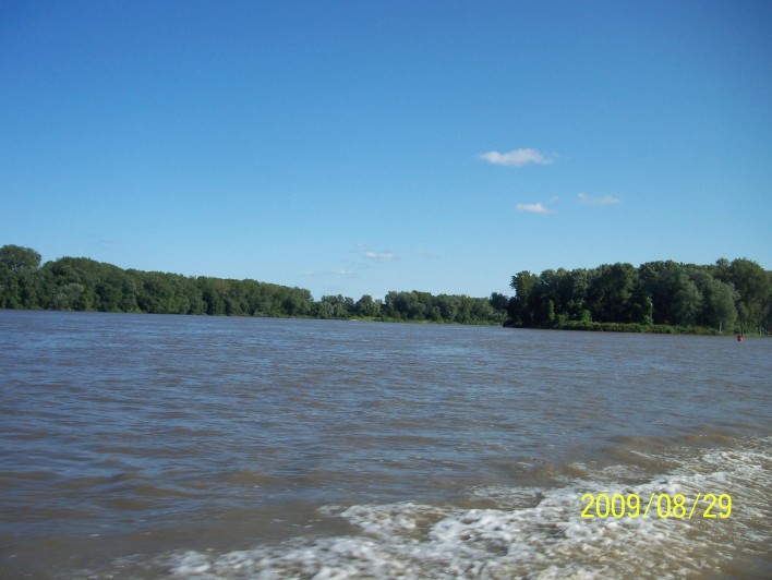
200908291709-100_9033
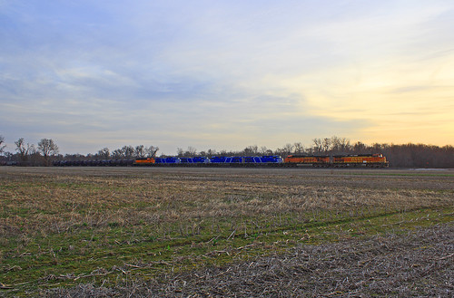
Sunrise in Gregory
200908291700-100_9029
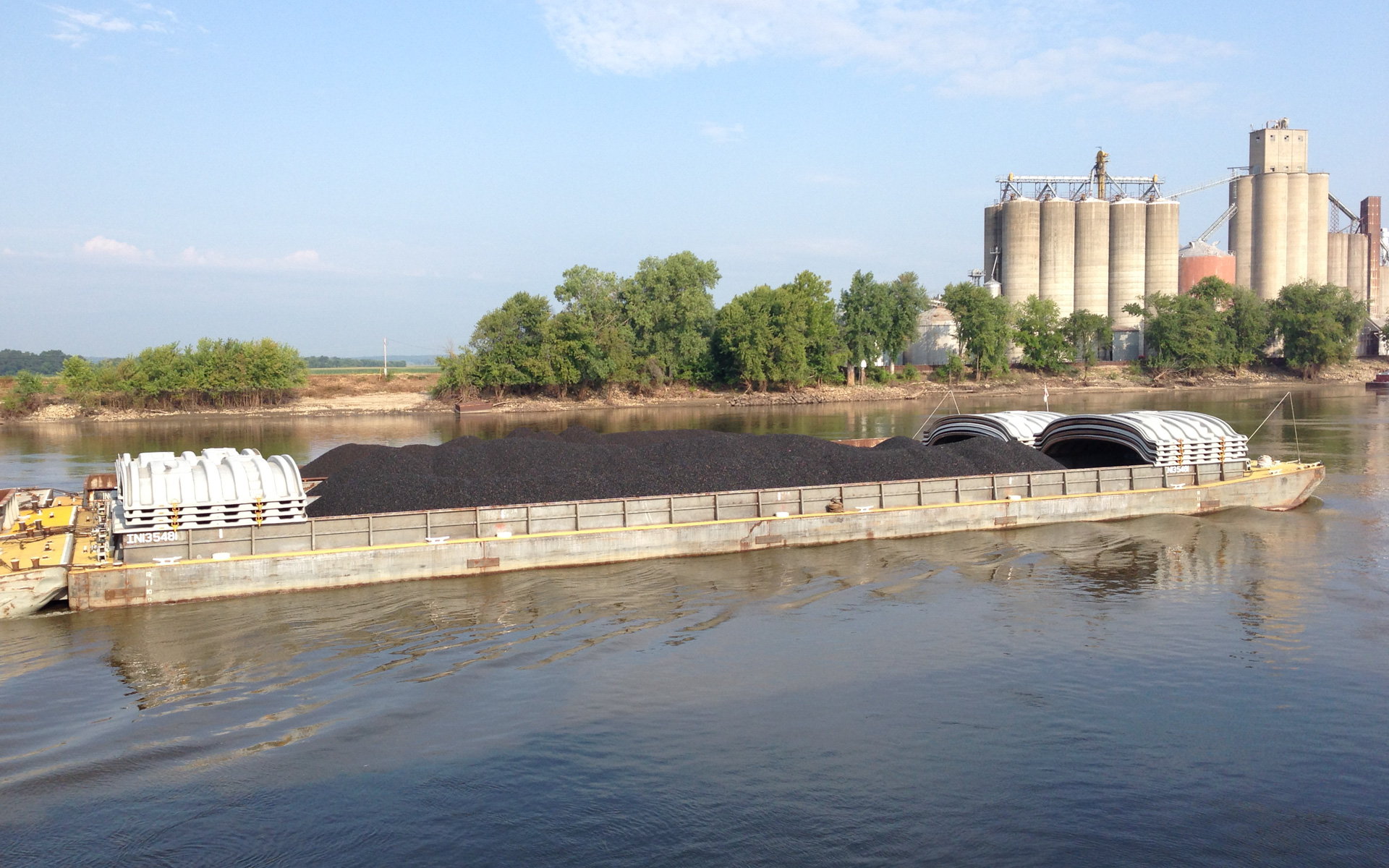
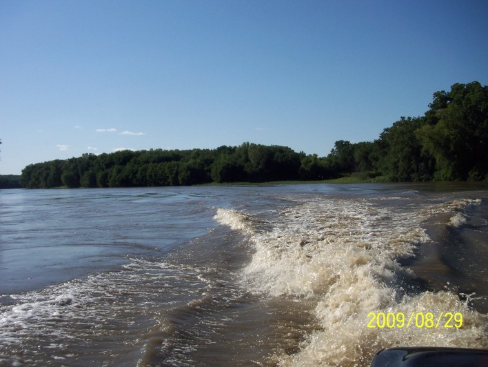
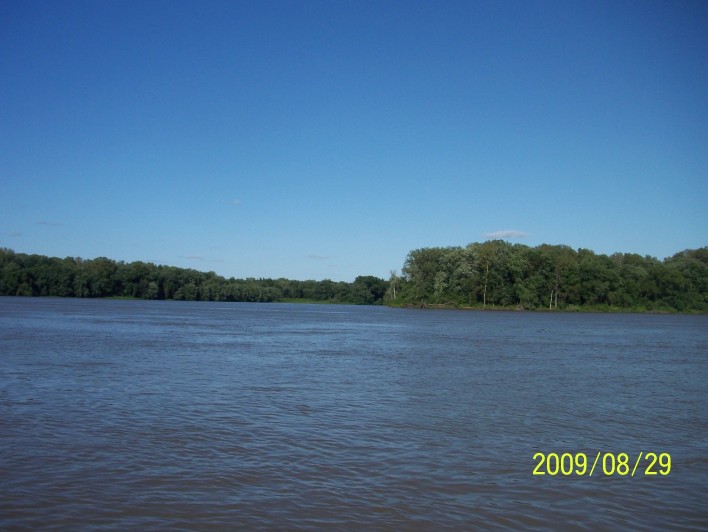
Coal Headed Upriver
200908291700-100_9030
200908291650-100_9026
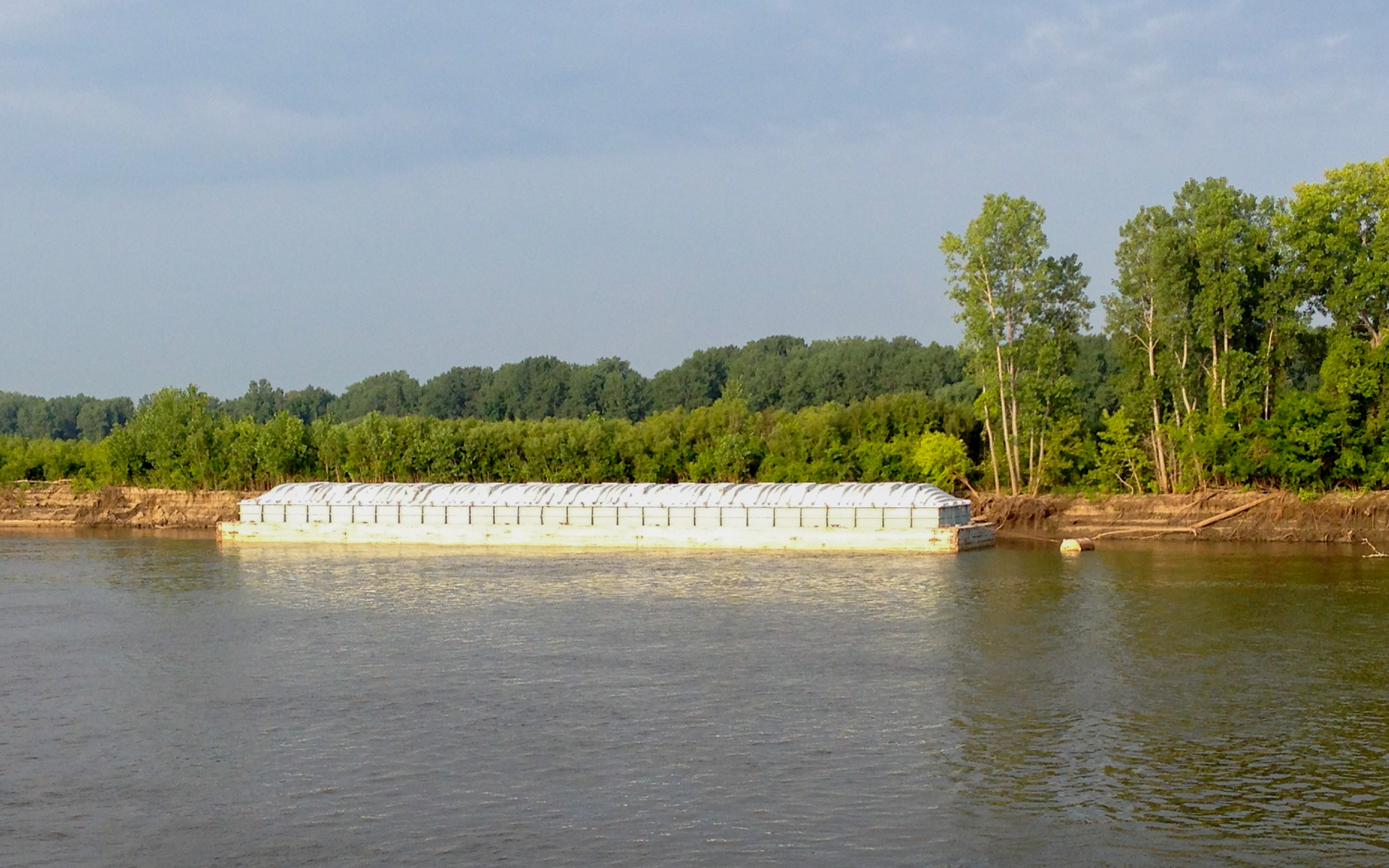
Parked Barge
Topographic Map of Canton Township, MO, USA
Find elevation by address:

Places in Canton Township, MO, USA:
Places near Canton Township, MO, USA:
32309 147th St
407 N 15th St
505 N 15th St
505 N 15th St
Canton
41 N th Ave, Warsaw, IL, USA
407 N 15th St
19481 State Hwy B
19481 State Hwy B
19481 State Hwy B
19481 State Hwy B
Lima Township
State Hwy H, Canton, MO, USA
Union Township
Ursa Township
Jackson Township
Co Rd, Lewistown, MO, USA
21995 Mo-16
State Hwy CC, Ewing, MO, USA
1380 Water St
Recent Searches:
- Elevation of Corso Fratelli Cairoli, 35, Macerata MC, Italy
- Elevation of Tallevast Rd, Sarasota, FL, USA
- Elevation of 4th St E, Sonoma, CA, USA
- Elevation of Black Hollow Rd, Pennsdale, PA, USA
- Elevation of Oakland Ave, Williamsport, PA, USA
- Elevation of Pedrógão Grande, Portugal
- Elevation of Klee Dr, Martinsburg, WV, USA
- Elevation of Via Roma, Pieranica CR, Italy
- Elevation of Tavkvetili Mountain, Georgia
- Elevation of Hartfords Bluff Cir, Mt Pleasant, SC, USA