Elevation of State Hwy 99w, Gerber, CA, USA
Location: United States > California > Tehama County > Gerber >
Longitude: -122.16928
Latitude: 40.041482
Elevation: 78m / 256feet
Barometric Pressure: 100KPa
Elevation Map:
Satellite Map:
Related Photos:

1:4
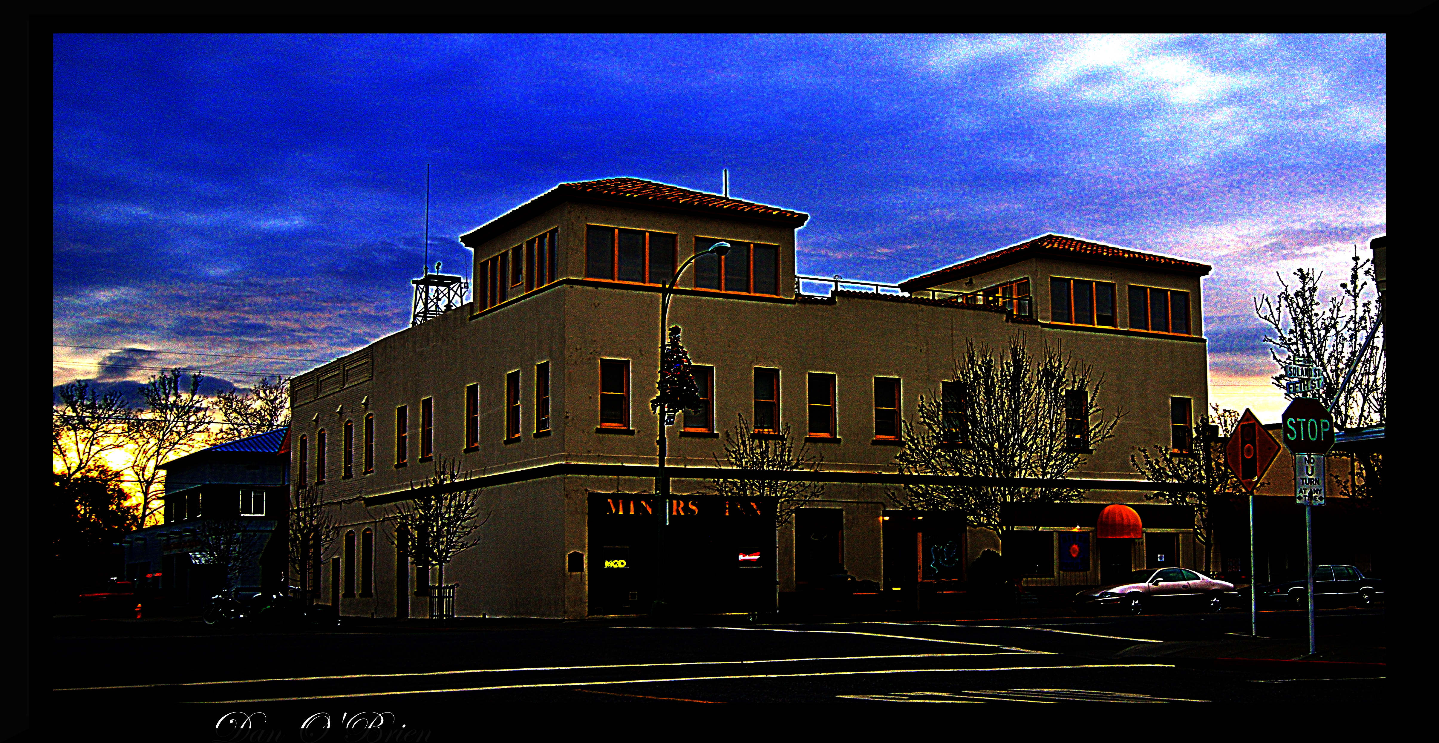
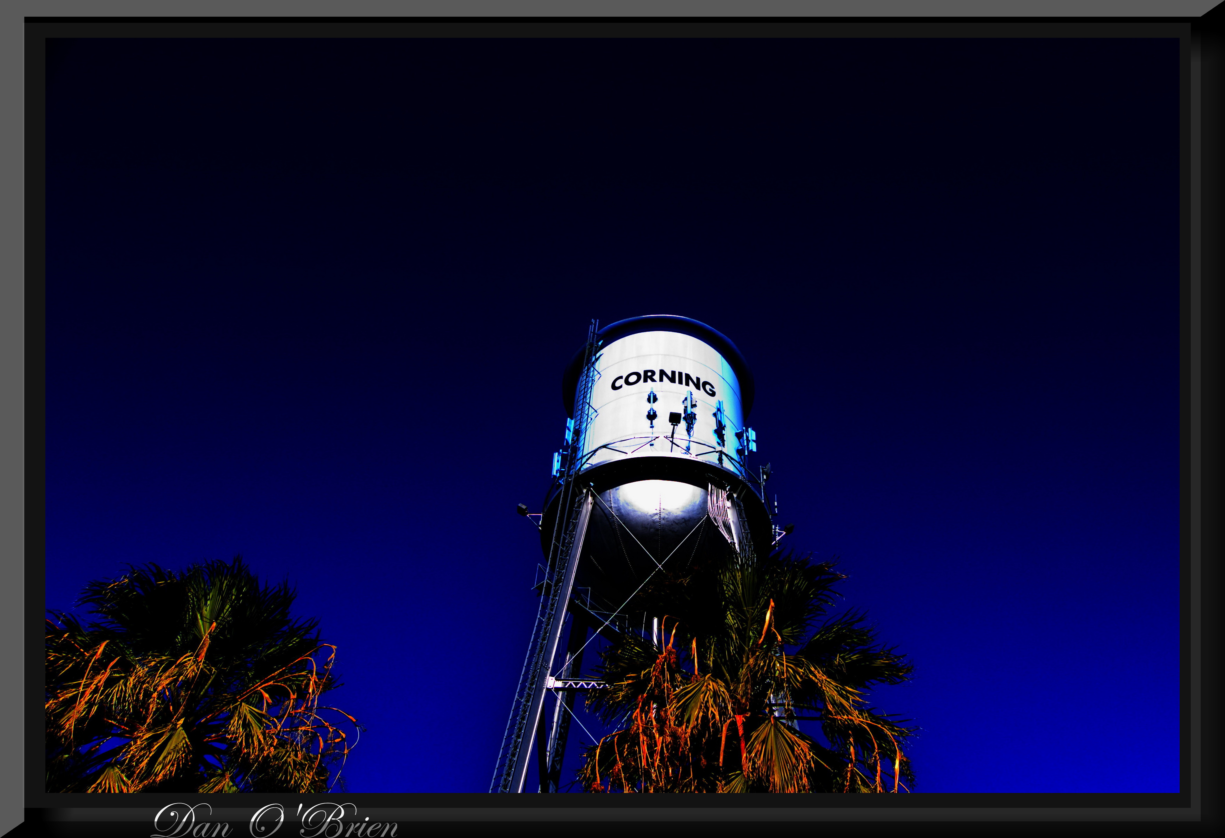
Corning CA.

Corning CA.
Corning CA.
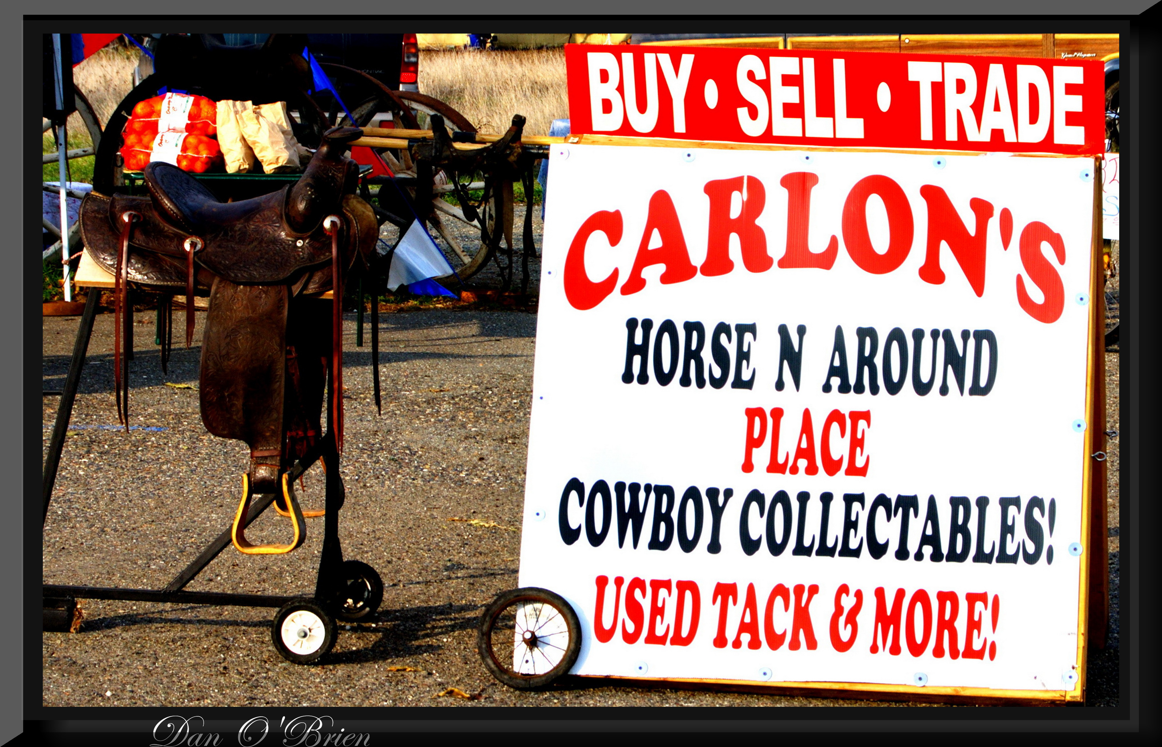
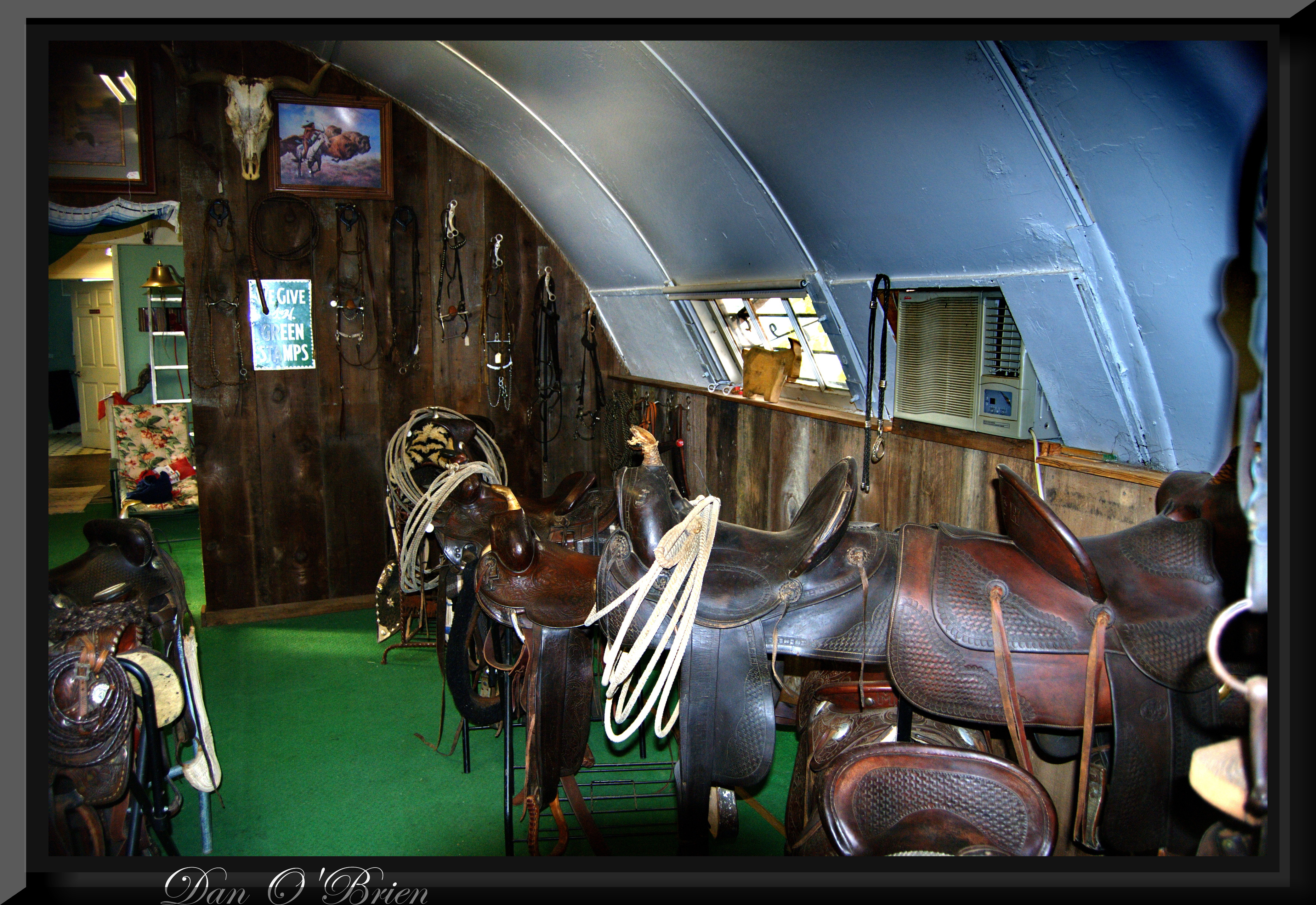
Cowboy collectable's
The view from here
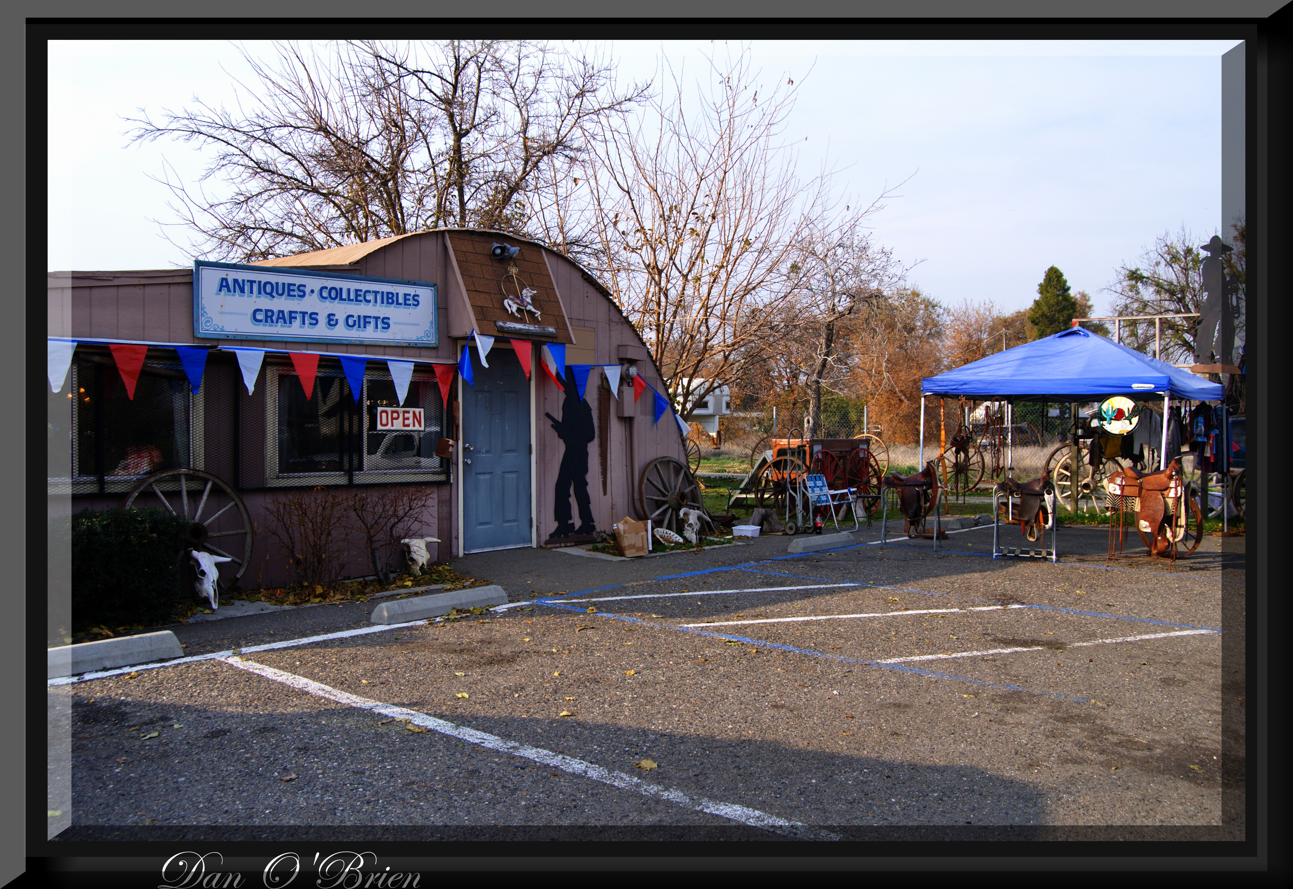
Cowboy collectable's(1)

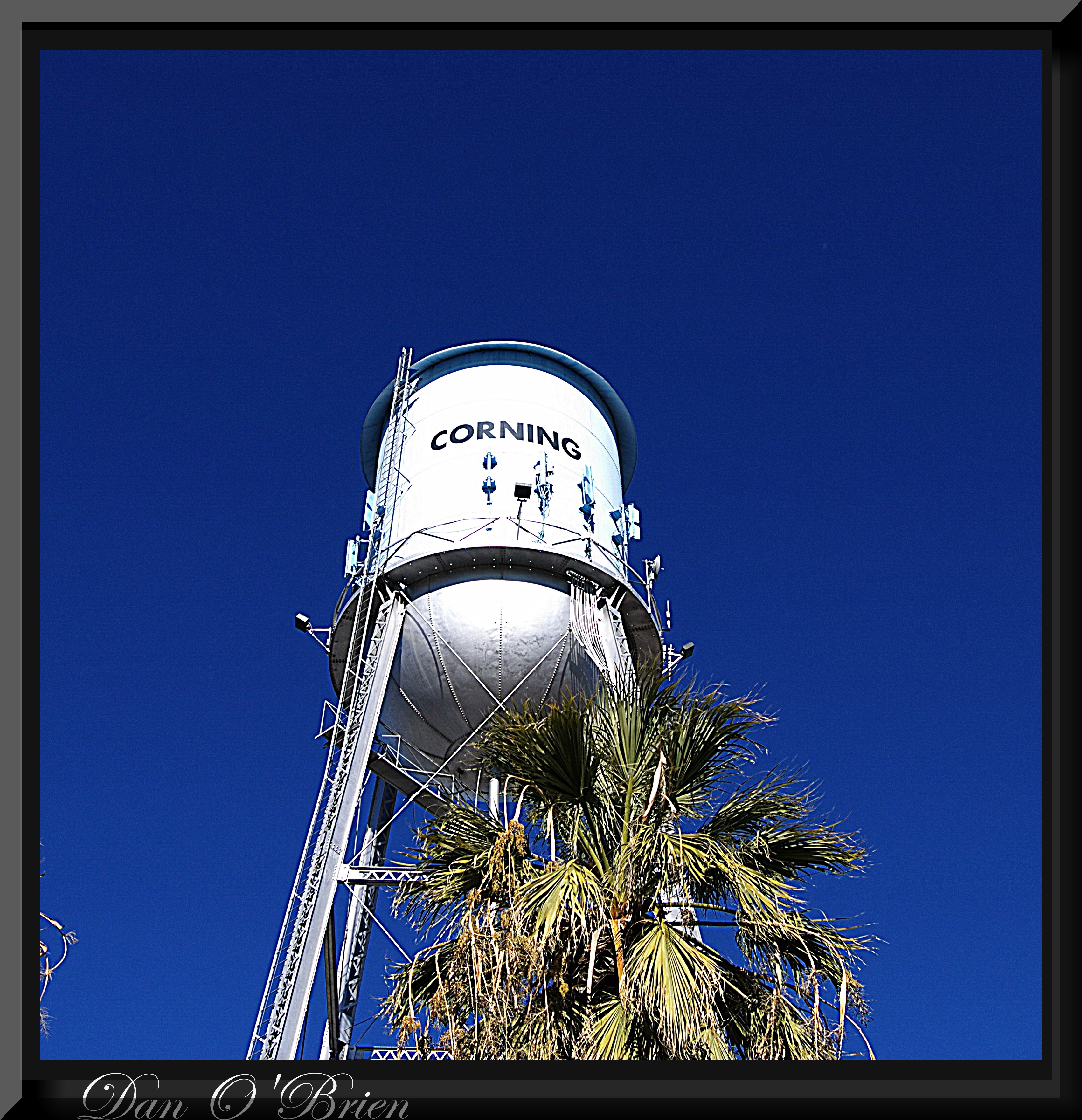
Corning CA.
Corning CA.

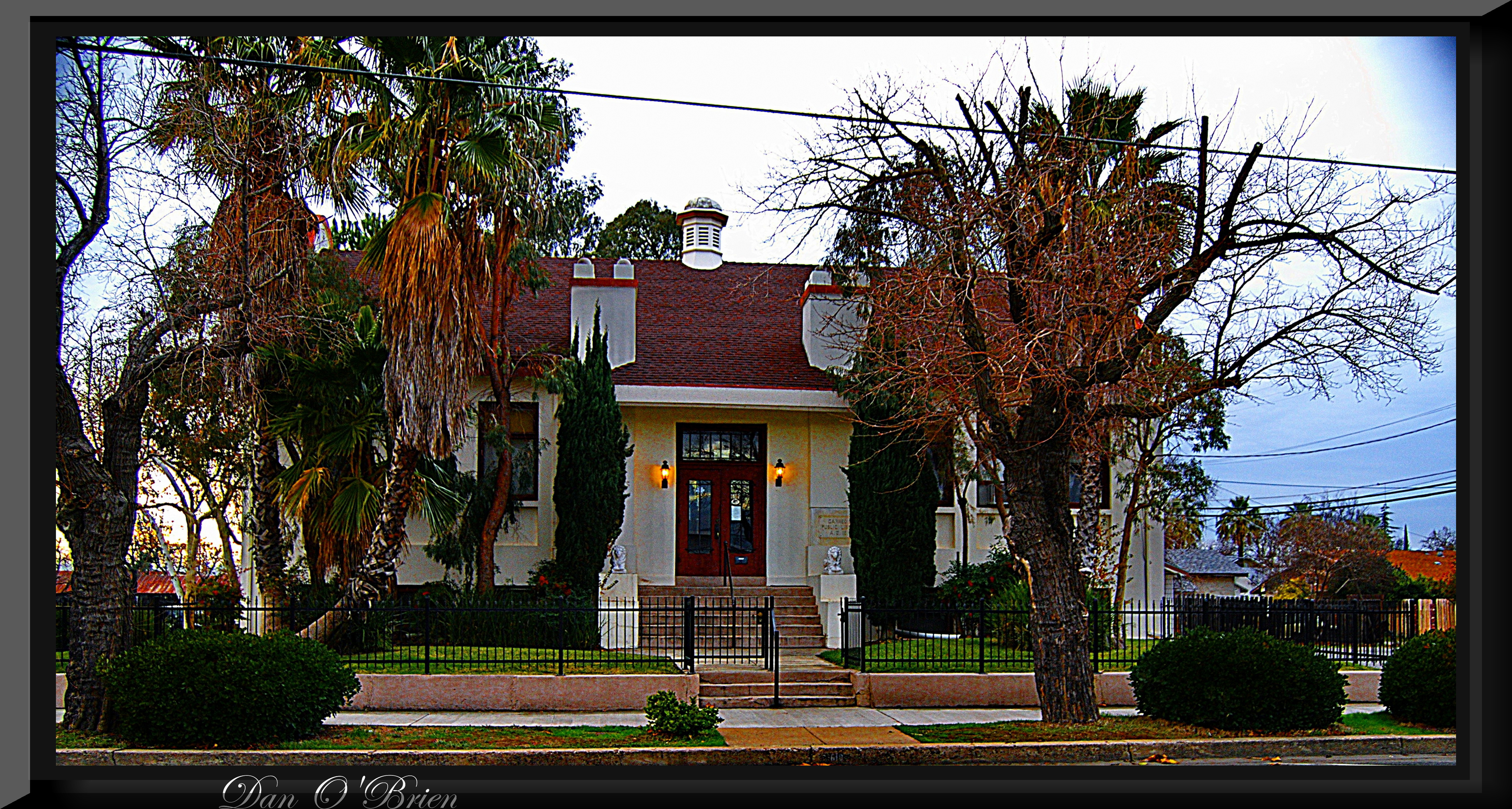
Carol's Browse Around(2)

Corning CA.
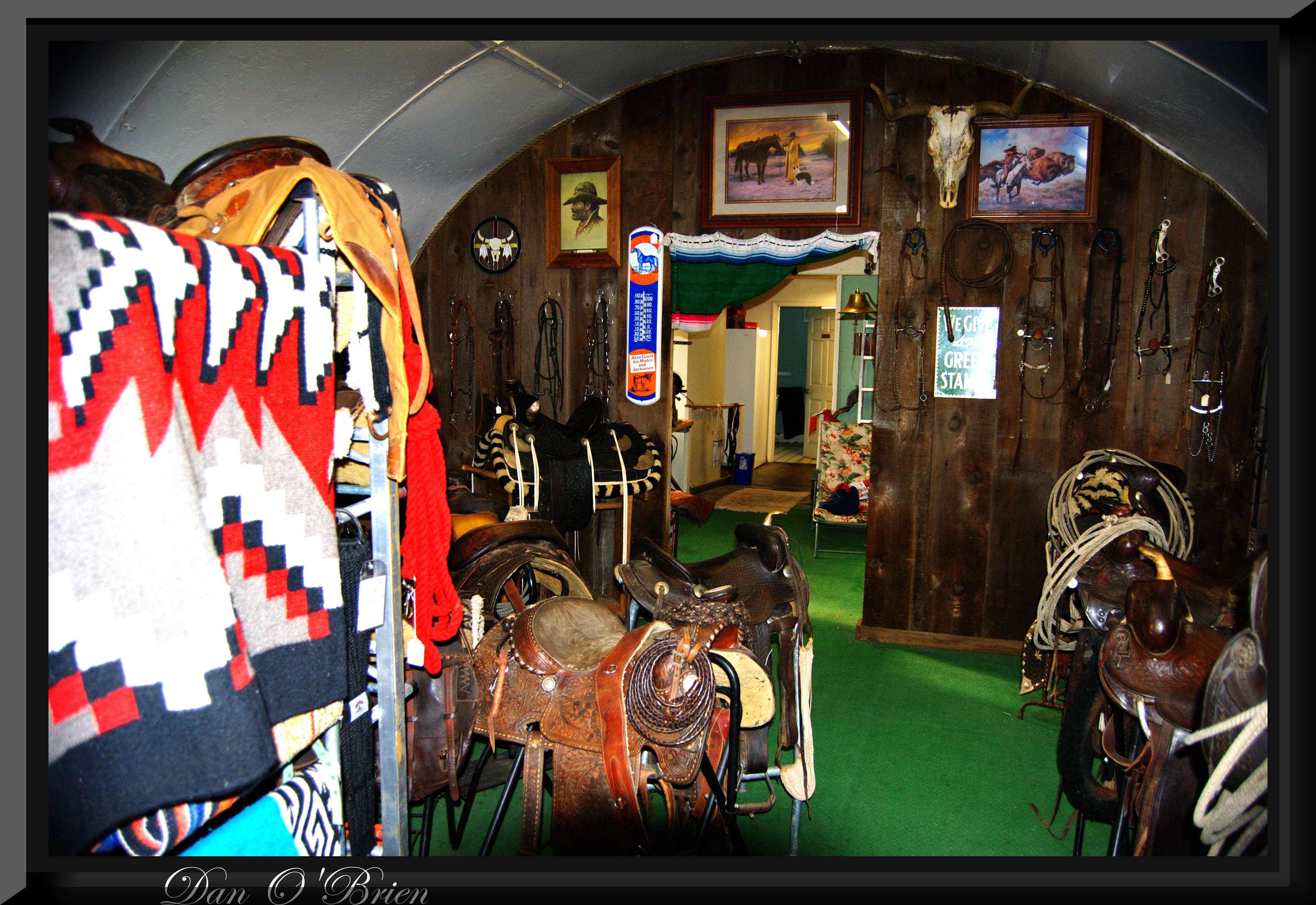
Cowboy collectable's(2)

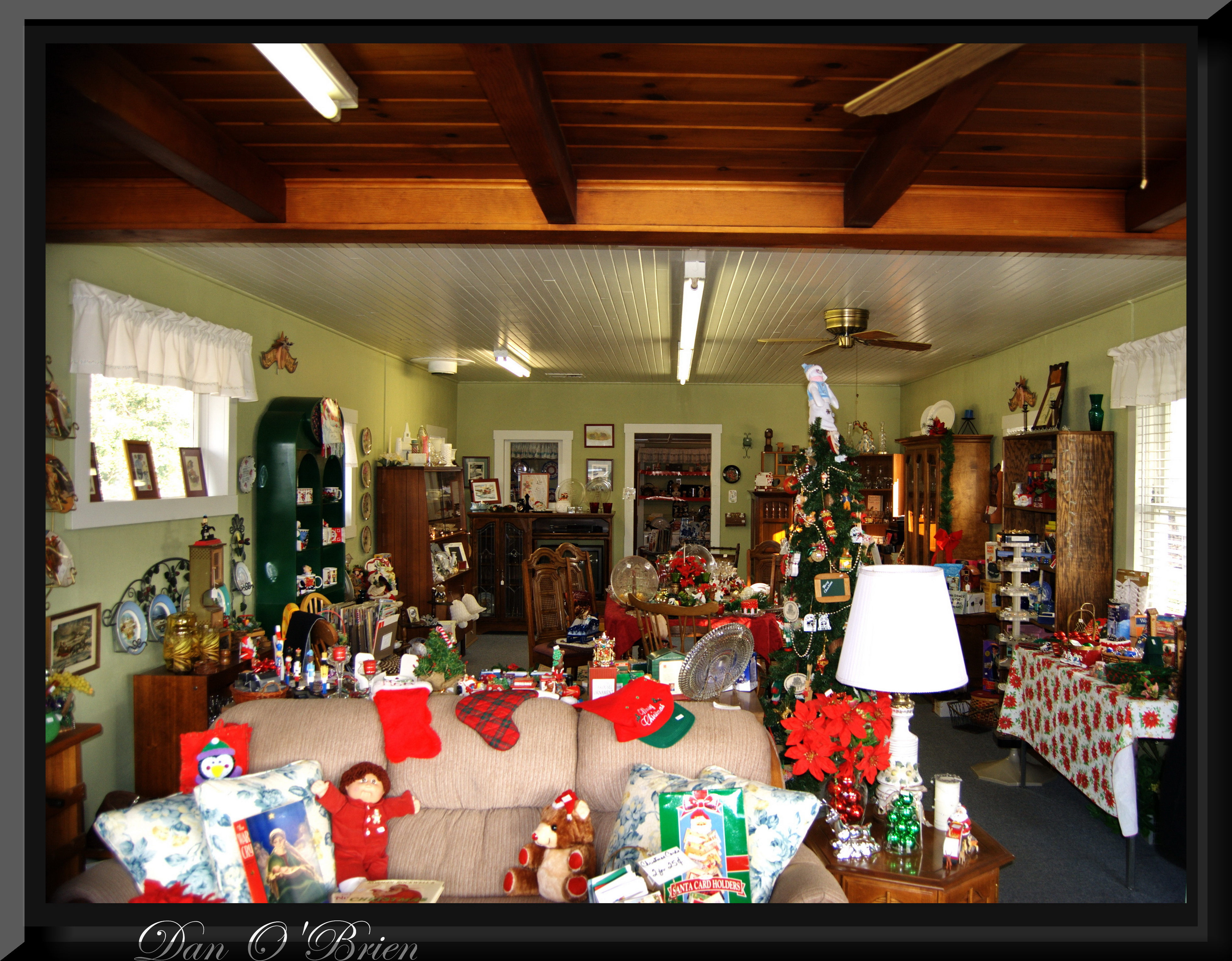
Carol's Browse Around
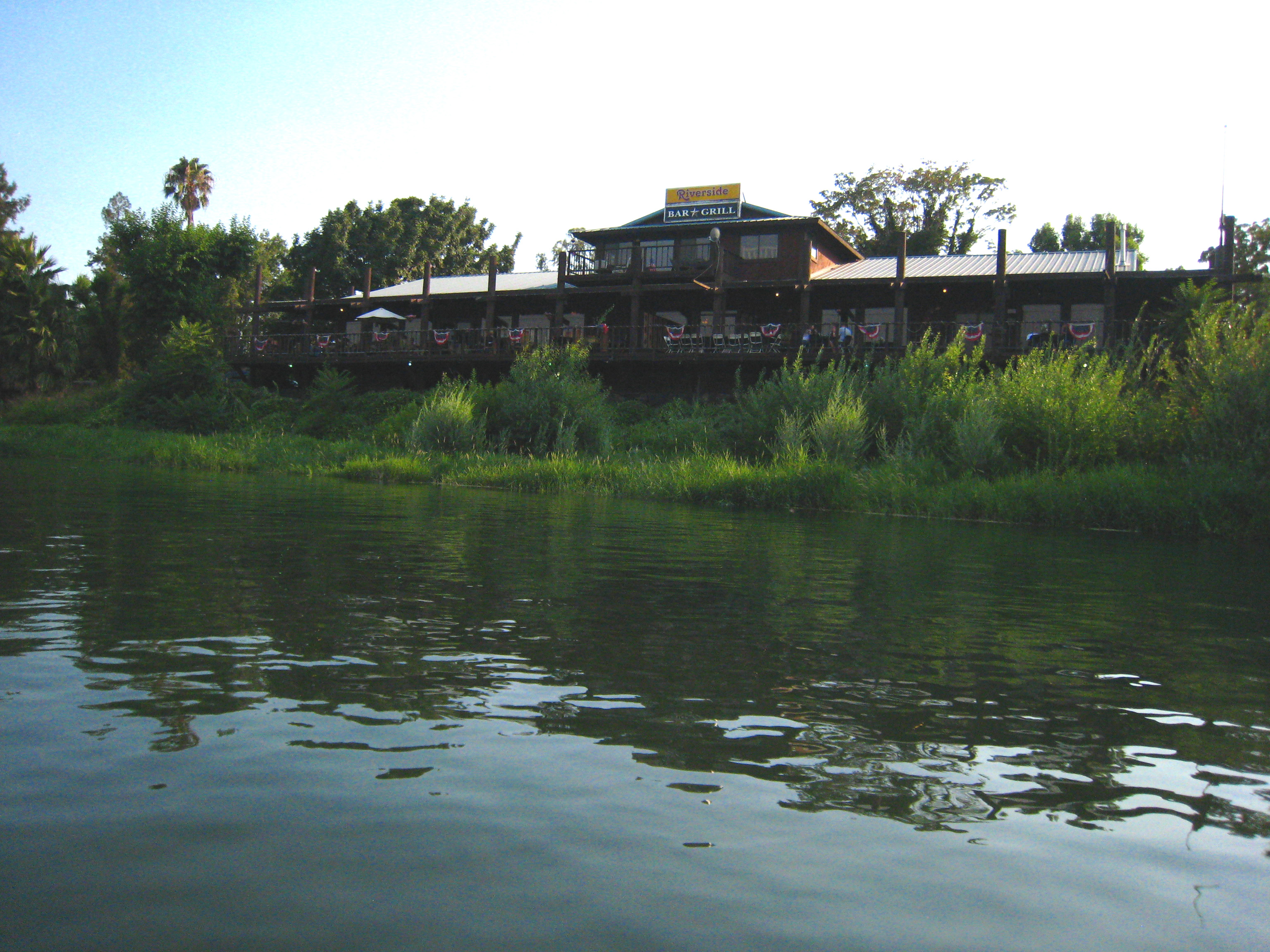
Riverside Bar and Grill
Carol's Browse Around(1)
Cowboy collectable's(3)
Corning CA.

Double Take (State Theater Red Bluff)
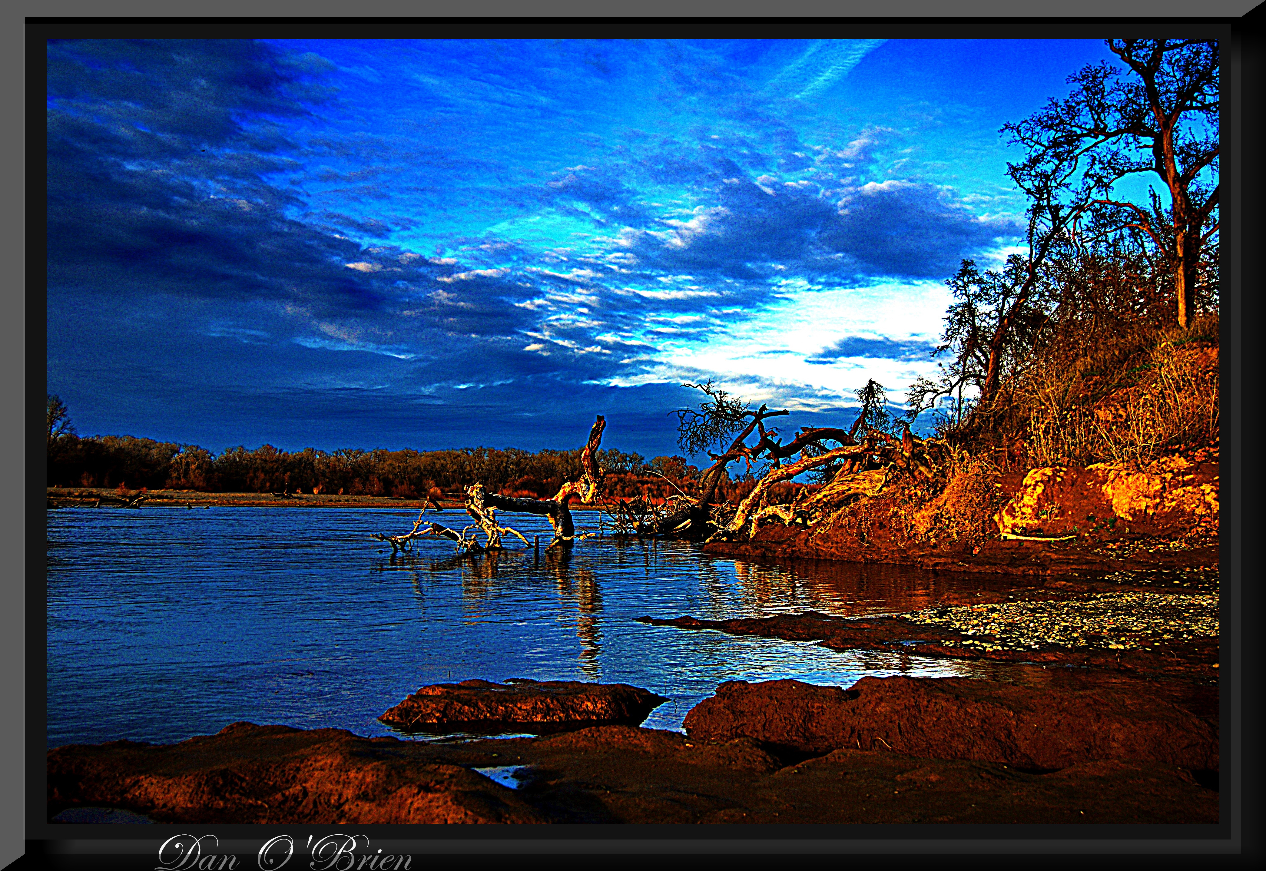
Sacramento River park
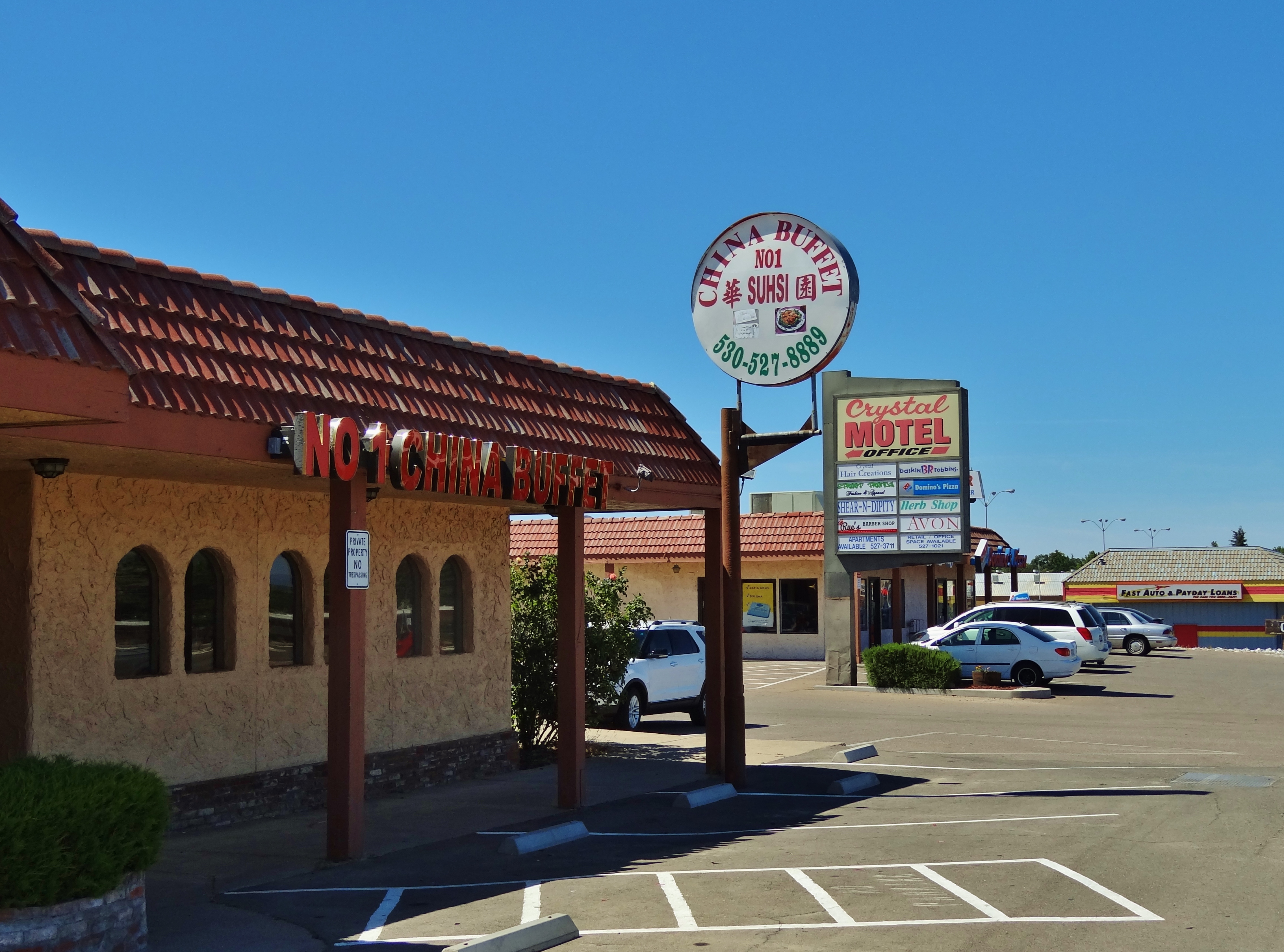
No 1 Chinese Buffet
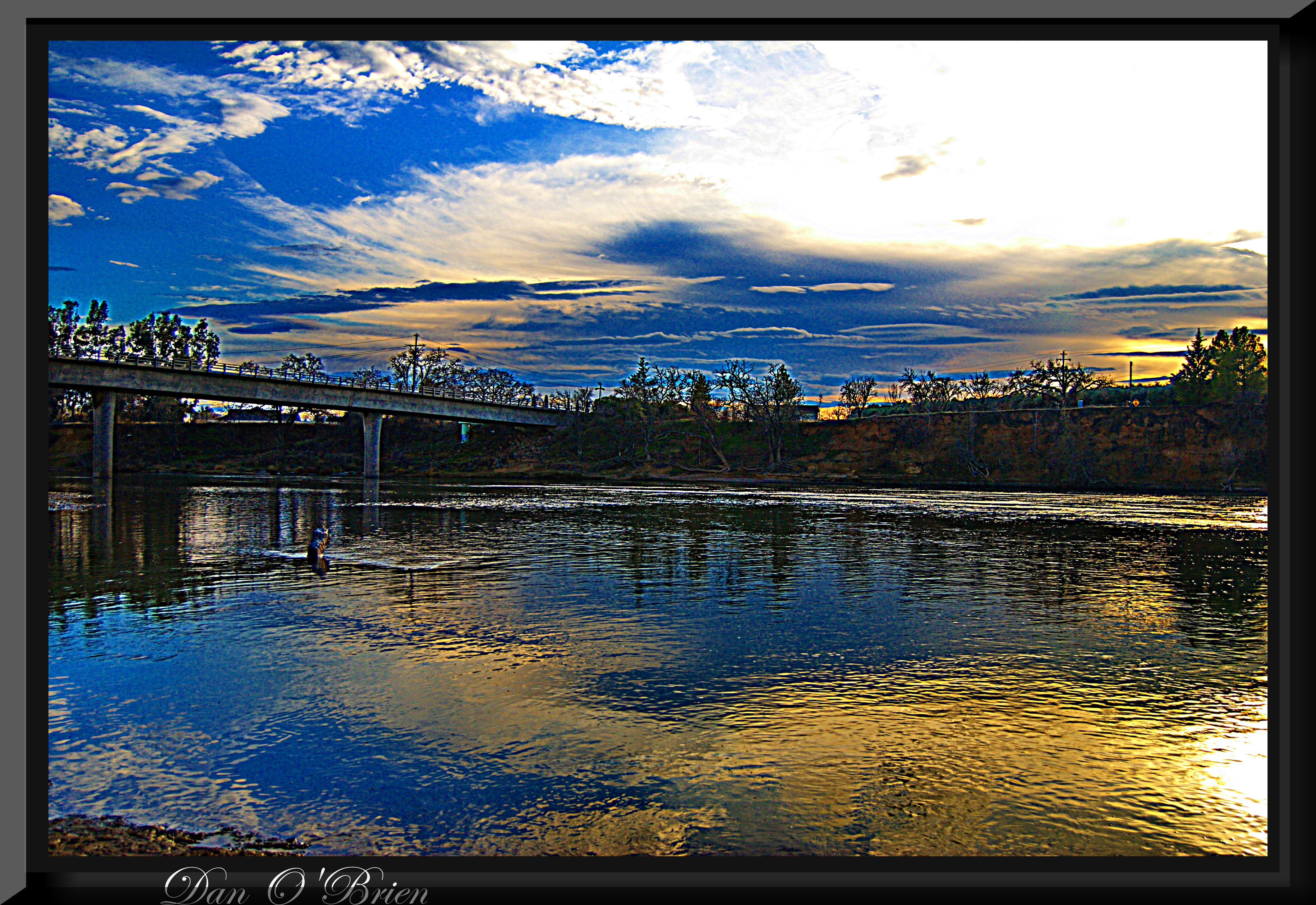
Sacramento River park (13)
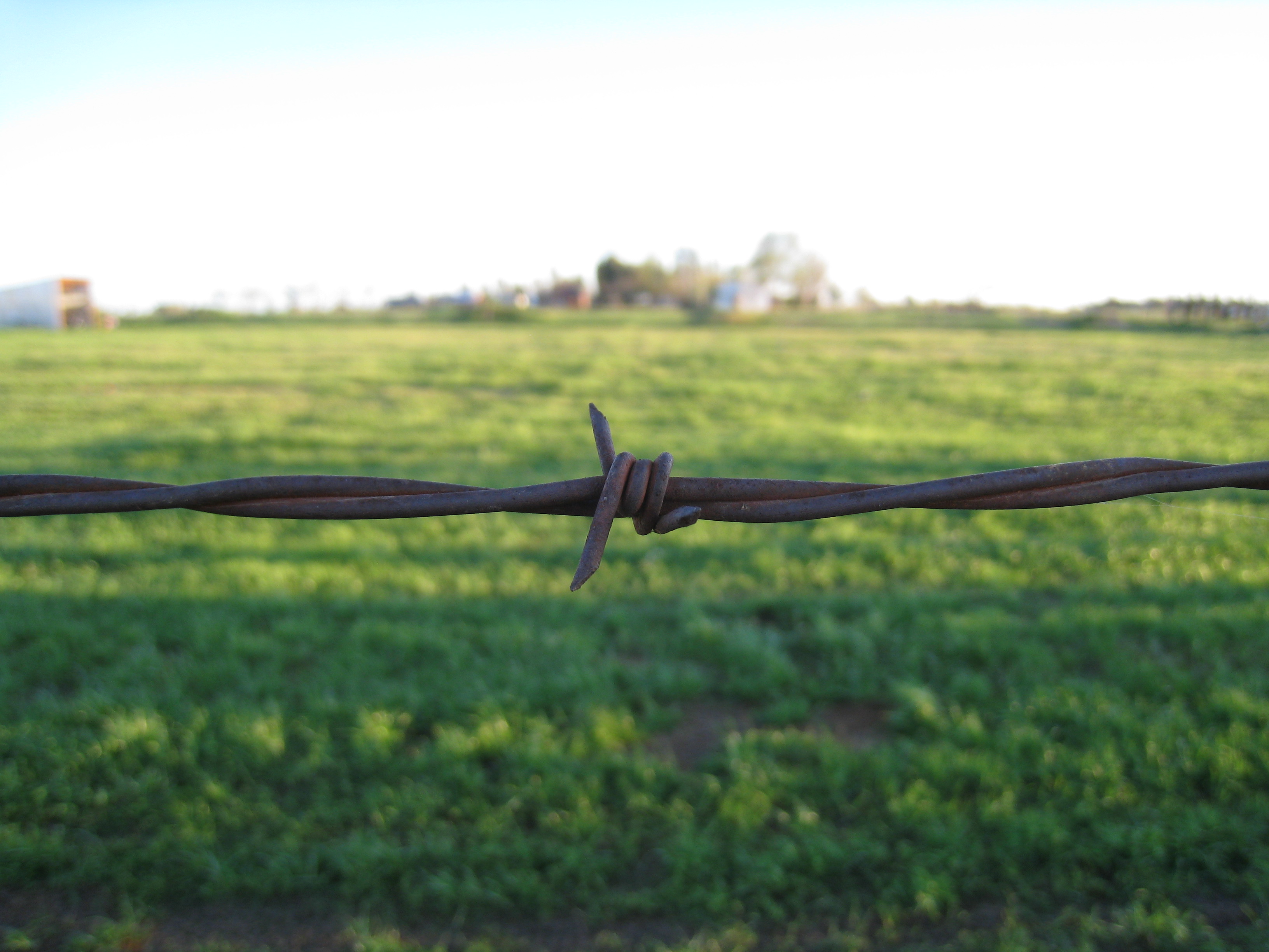
Barbed wire

Common Buckeye
Dye Creek, CA
Dye Creek, CA
Dye Creek, CA
I-5
The Ranch

Almond Orchard Blossoms

Alive, a Little Ways Off I-5 :: #36 #highway #redbluff #red #bluff #california #landscape #mountains #trees #fields #farmland #golden #beautiful #day #clouds #blue #vibrant #roadtrip #summer
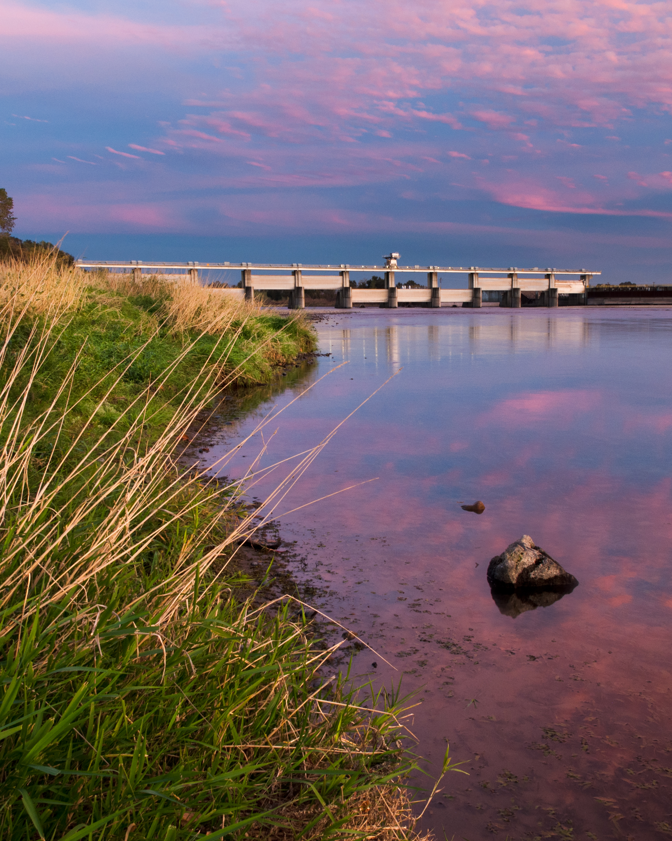
Red Bluff Diversion Dam
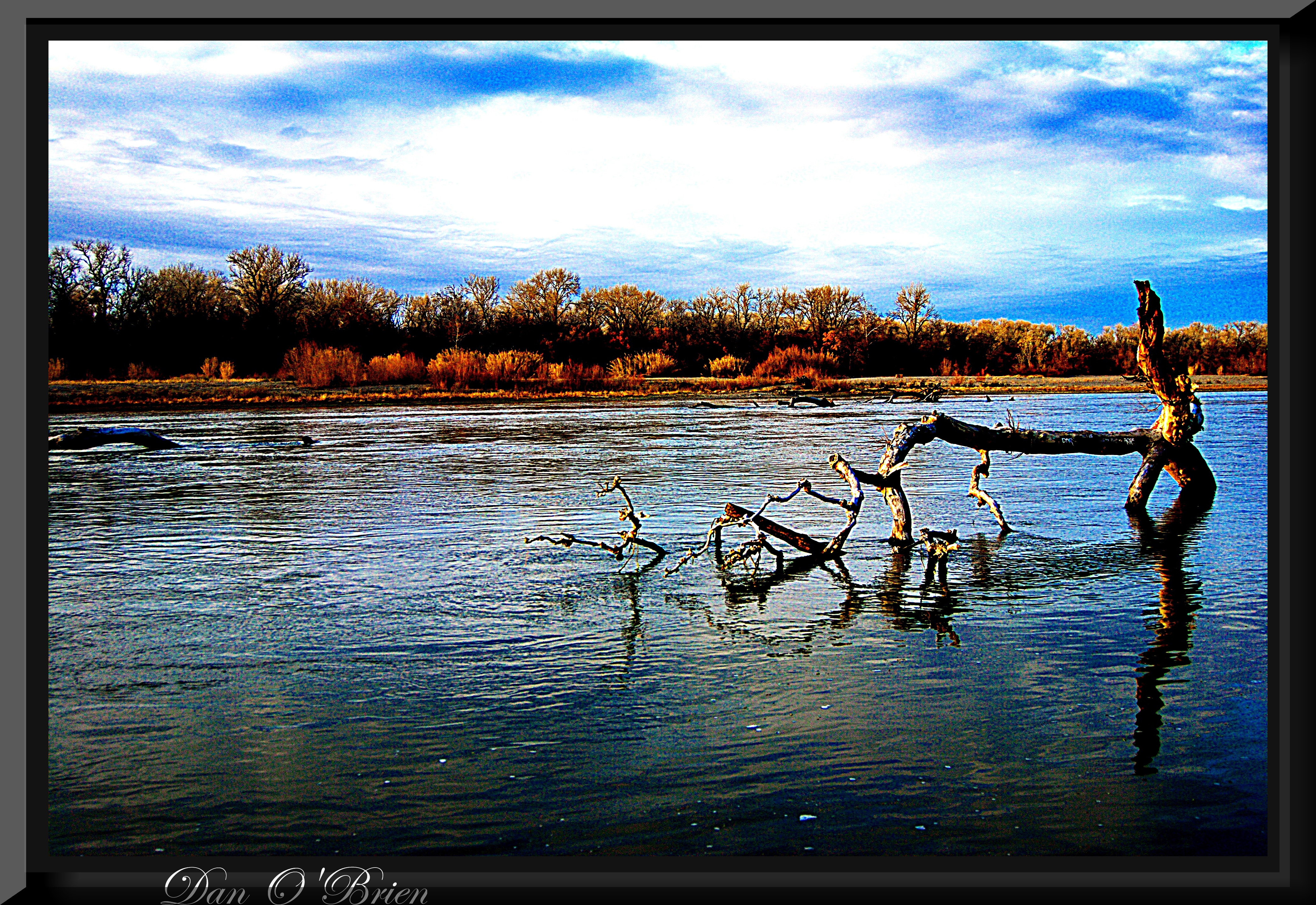
Sacramento River park
Topographic Map of State Hwy 99w, Gerber, CA, USA
Find elevation by address:

Places near State Hwy 99w, Gerber, CA, USA:
El Camino
Gerber
Ventura Ave, Gerber, CA, USA
Gerber-las Flores
1st St, Gerber, CA, USA
Tehama
Richfield
8791 Fox St
7233 Amador Rd
Thomes Creek Rock Co
Los Molinos
7697 Sherwood Blvd
4450 Corning Rd
4455 Corning Rd
33370 Simpson Rd
5130 Orland Ave
Corning
Los Molinos, CA, USA
Solano St, Corning, CA, USA
Blethen Island
Recent Searches:
- Elevation of Corso Fratelli Cairoli, 35, Macerata MC, Italy
- Elevation of Tallevast Rd, Sarasota, FL, USA
- Elevation of 4th St E, Sonoma, CA, USA
- Elevation of Black Hollow Rd, Pennsdale, PA, USA
- Elevation of Oakland Ave, Williamsport, PA, USA
- Elevation of Pedrógão Grande, Portugal
- Elevation of Klee Dr, Martinsburg, WV, USA
- Elevation of Via Roma, Pieranica CR, Italy
- Elevation of Tavkvetili Mountain, Georgia
- Elevation of Hartfords Bluff Cir, Mt Pleasant, SC, USA