Elevation of State Highway, State Hwy, Campbellsville, KY, USA
Location: United States > Kentucky > Taylor County > Campbellsville >
Longitude: -85.476331
Latitude: 37.4187839
Elevation: 213m / 699feet
Barometric Pressure: 99KPa
Elevation Map:
Satellite Map:
Related Photos:
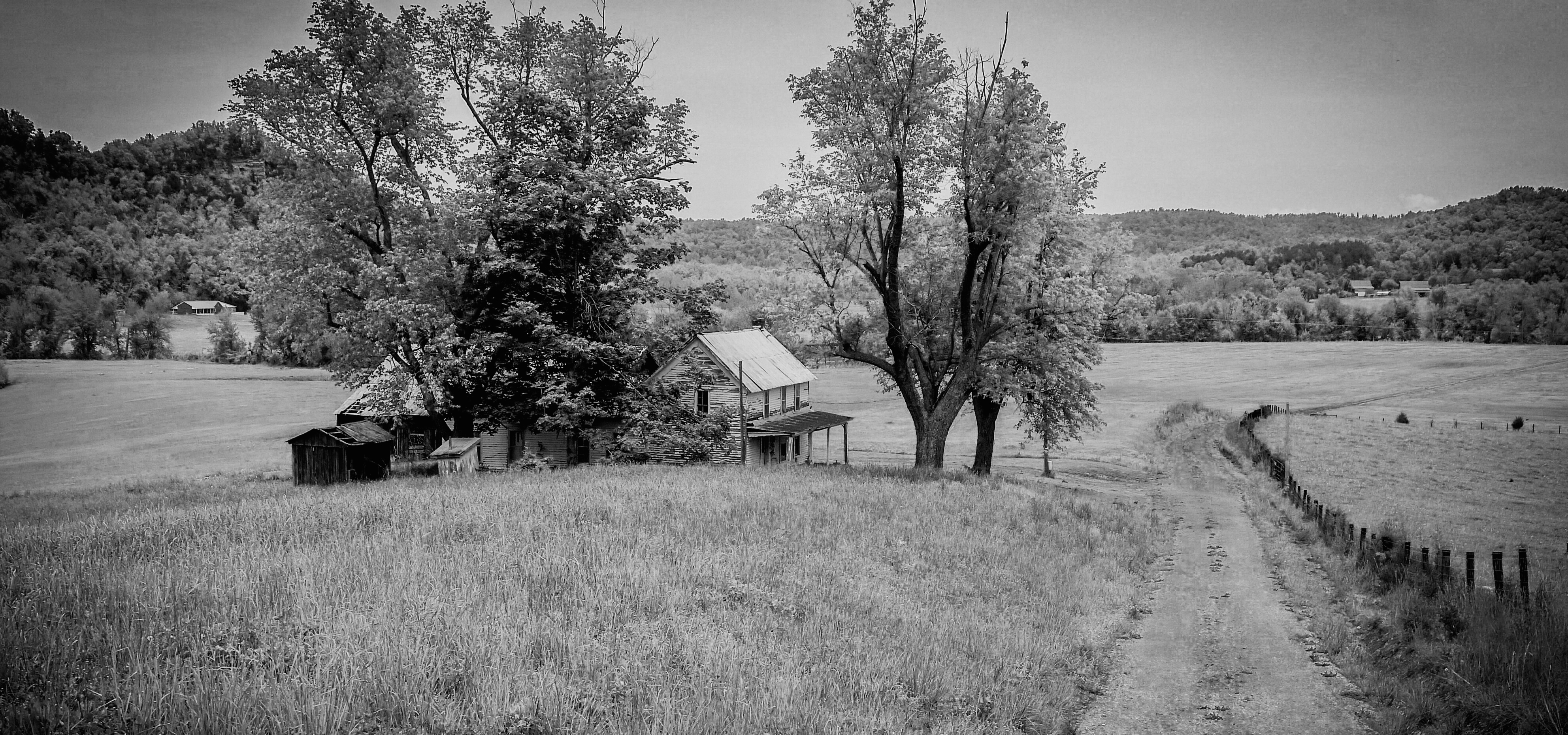
Marion County panorama
Room with a View
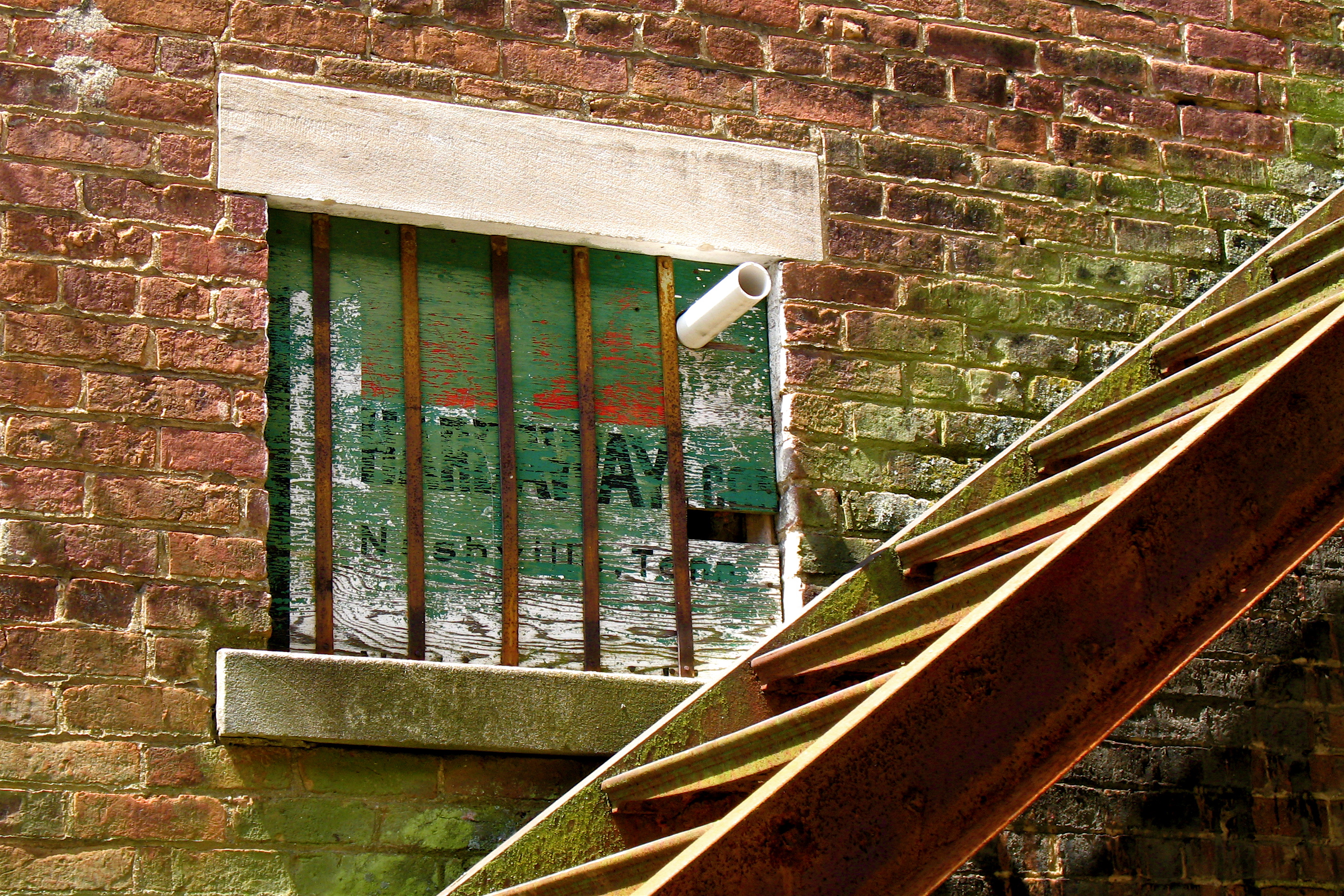
Goodbye, Fruit of the Loom
Mt. Gilboa School
Room Without a View

Hog Knob Schoolhouse
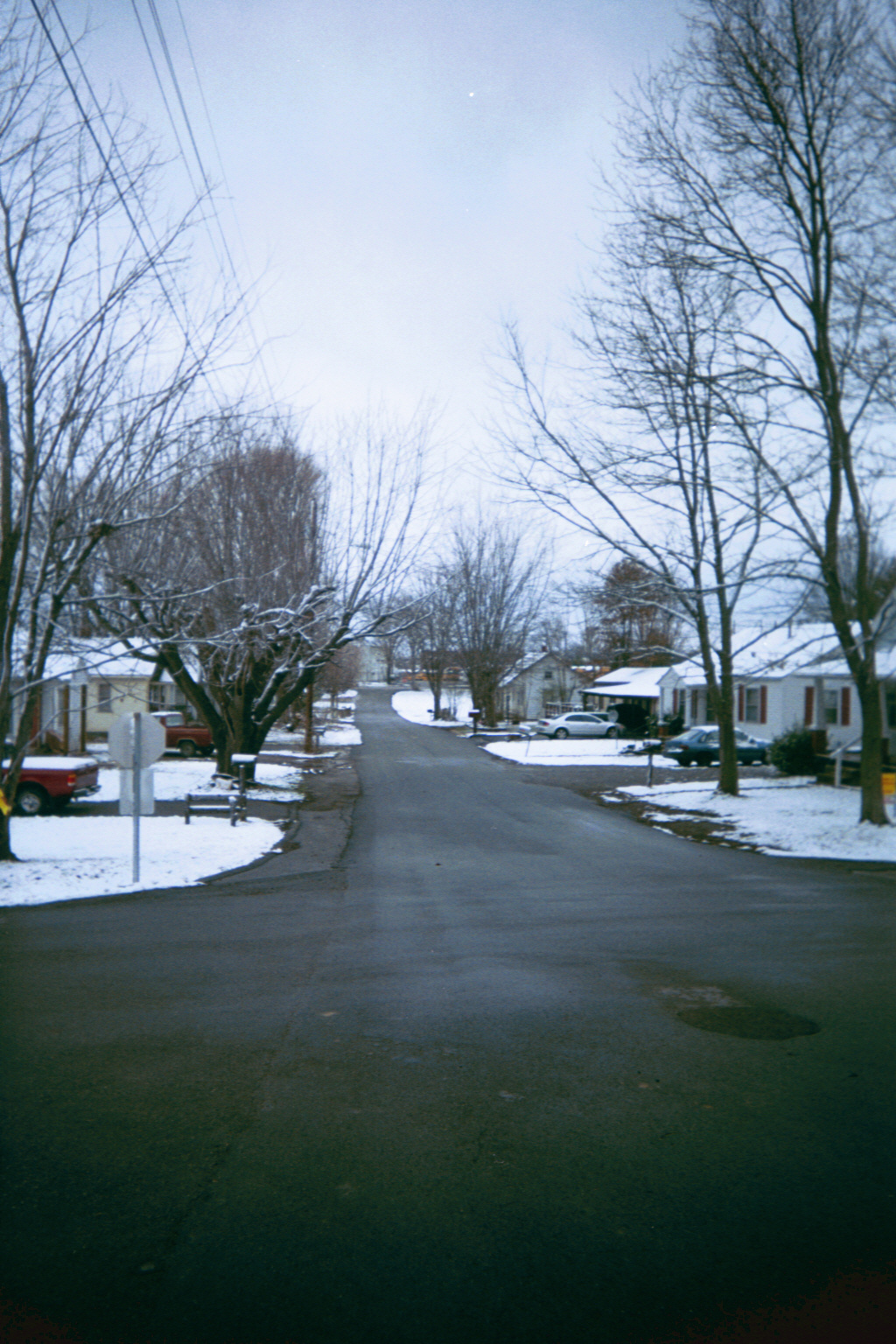
The Neighborhood in Winter
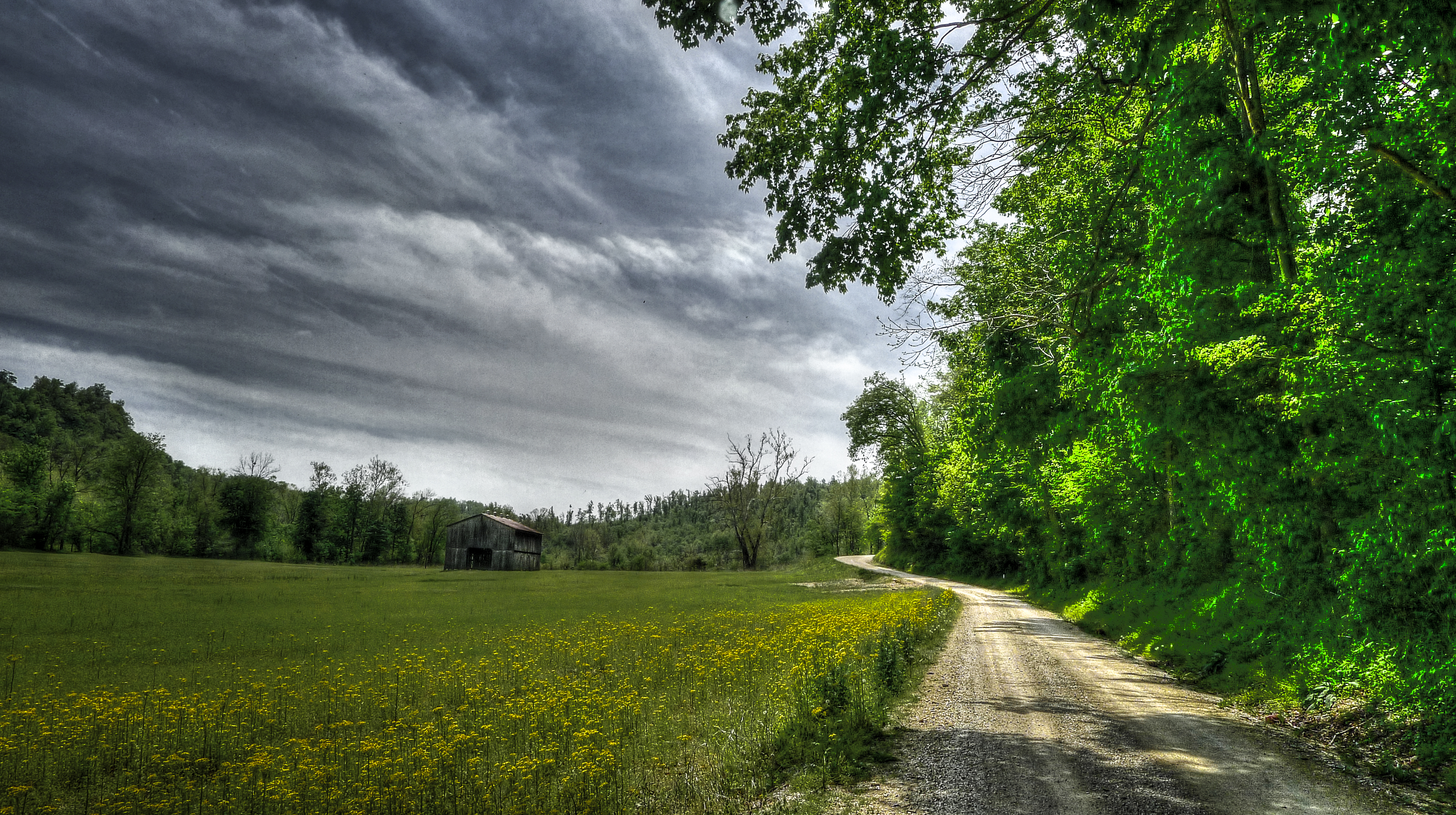
Kentucky Sky
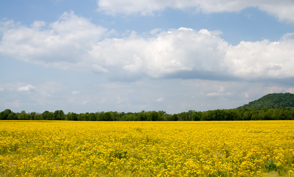
Yellow flowers

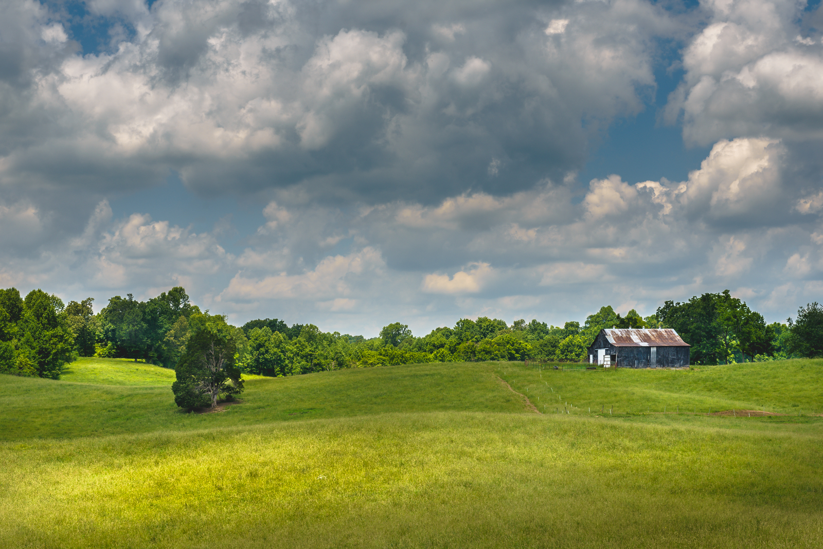
Larue County Farm

Tobacco Barn, LaRue County, KY

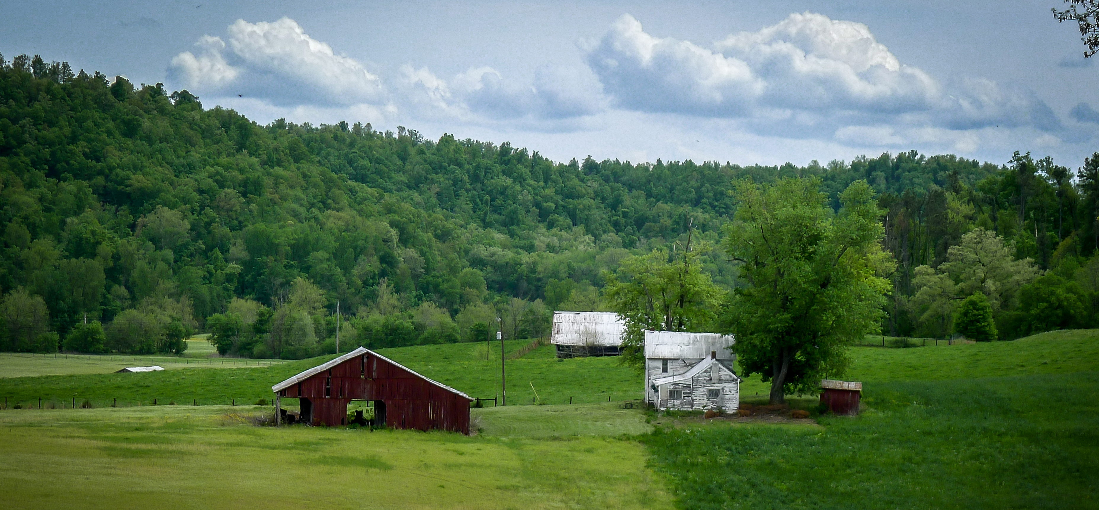
Old Farmstead, LaRue County, KY

Round Bales, LaRue County, KY
Tobacco Barn, LaRue County, KY
Ginseng, KY Farm
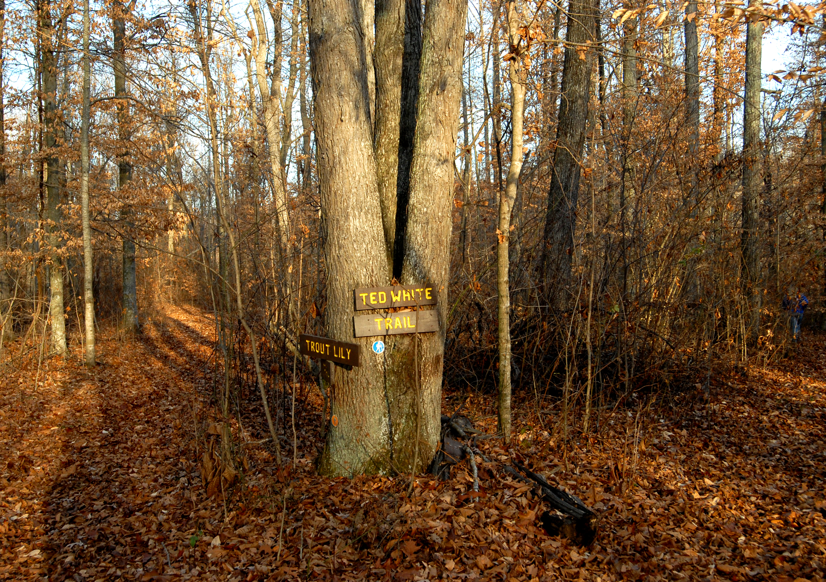
Clay Hill Memorial Forest
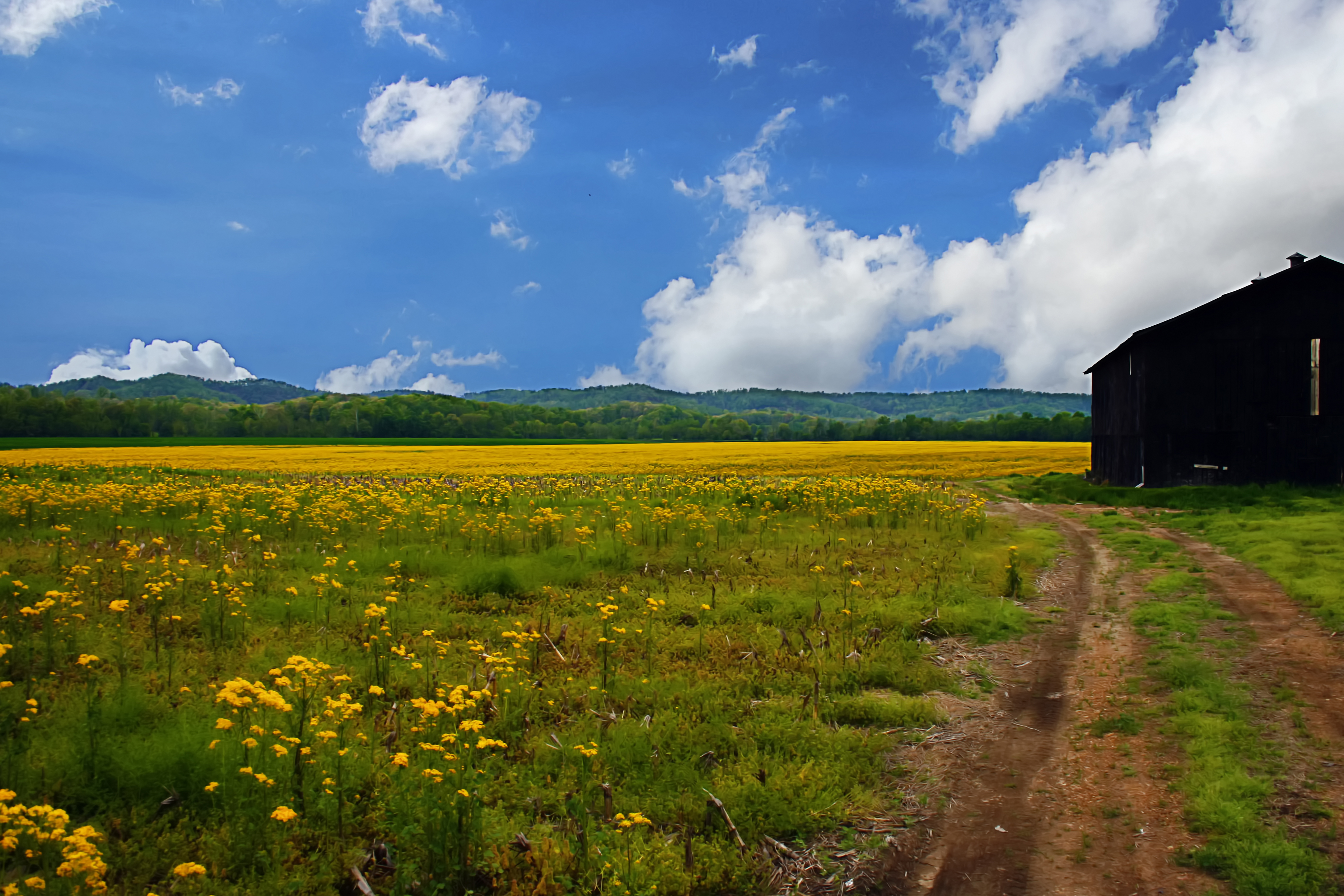
Kentucky Field of Yellow
LaRue County, KY Farm

LaRue County Farm
Topographic Map of State Highway, State Hwy, Campbellsville, KY, USA
Find elevation by address:

Places near State Highway, State Hwy, Campbellsville, KY, USA:
2176 Coakley Rd
552 S Otter Creek Rd
22 Summersville Rd
Summersville
437 Montgomery Mill Rd
Gabe Rd, Summersville, KY, USA
Campbellsville
Greensburg
922 Buckner Hill Rd
538 Gabe-henderson Rd
272 Ferry Rd
302 Industrial Rd
959 Burdick School Rd
Hudgins Hwy, Summersville, KY, USA
Cecil Ridge Road
Green County
Taylor County
Campbellsville
420 Hidden Ln
420 Hidden Ln
Recent Searches:
- Elevation of Corso Fratelli Cairoli, 35, Macerata MC, Italy
- Elevation of Tallevast Rd, Sarasota, FL, USA
- Elevation of 4th St E, Sonoma, CA, USA
- Elevation of Black Hollow Rd, Pennsdale, PA, USA
- Elevation of Oakland Ave, Williamsport, PA, USA
- Elevation of Pedrógão Grande, Portugal
- Elevation of Klee Dr, Martinsburg, WV, USA
- Elevation of Via Roma, Pieranica CR, Italy
- Elevation of Tavkvetili Mountain, Georgia
- Elevation of Hartfords Bluff Cir, Mt Pleasant, SC, USA