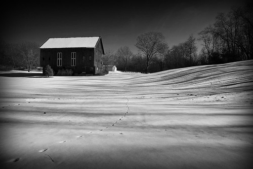
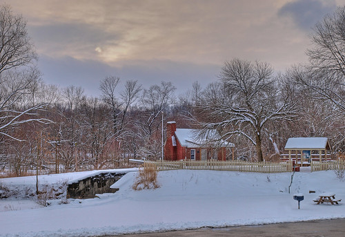
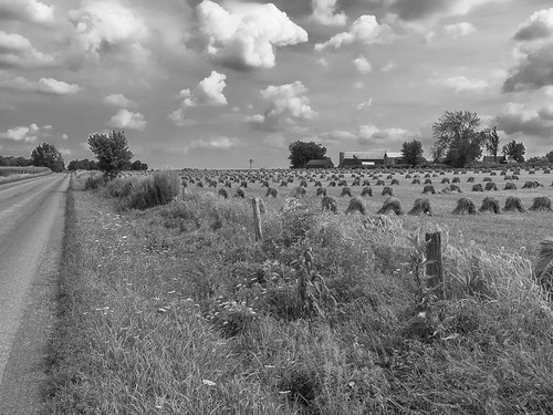
Elevation of Stanwood St SW, Navarre, OH, USA
Location: United States > Ohio > Stark County >
Longitude: -81.632947
Latitude: 40.758358
Elevation: 341m / 1119feet
Barometric Pressure: 97KPa
Related Photos:
Topographic Map of Stanwood St SW, Navarre, OH, USA
Find elevation by address:

Places near Stanwood St SW, Navarre, OH, USA:
Elton St SW, Navarre, OH, USA
5681 Massillon Rd
Sugar Creek Township
13517 315
Main, Mt Eaton, OH, USA
Sugar Creek Township
Wilmot
Beach City
1089 Township Rd 660
Camp Road Northwest
Paint Township
Winesburg
East Union Township
PR, Fredericksburg, OH, USA
Mount Hope
Jackson St, Millersburg, OH, USA
Mt. Hope Auction
Dover Rd, Apple Creek, OH, USA
Apple Creek
Salt Creek Township
Recent Searches:
- Elevation of Corso Fratelli Cairoli, 35, Macerata MC, Italy
- Elevation of Tallevast Rd, Sarasota, FL, USA
- Elevation of 4th St E, Sonoma, CA, USA
- Elevation of Black Hollow Rd, Pennsdale, PA, USA
- Elevation of Oakland Ave, Williamsport, PA, USA
- Elevation of Pedrógão Grande, Portugal
- Elevation of Klee Dr, Martinsburg, WV, USA
- Elevation of Via Roma, Pieranica CR, Italy
- Elevation of Tavkvetili Mountain, Georgia
- Elevation of Hartfords Bluff Cir, Mt Pleasant, SC, USA
