Elevation of Main, Mt Eaton, OH, USA
Location: United States > Ohio > Wayne County >
Longitude: -81.703441
Latitude: 40.694465
Elevation: 382m / 1253feet
Barometric Pressure: 97KPa
Elevation Map:
Satellite Map:
Related Photos:
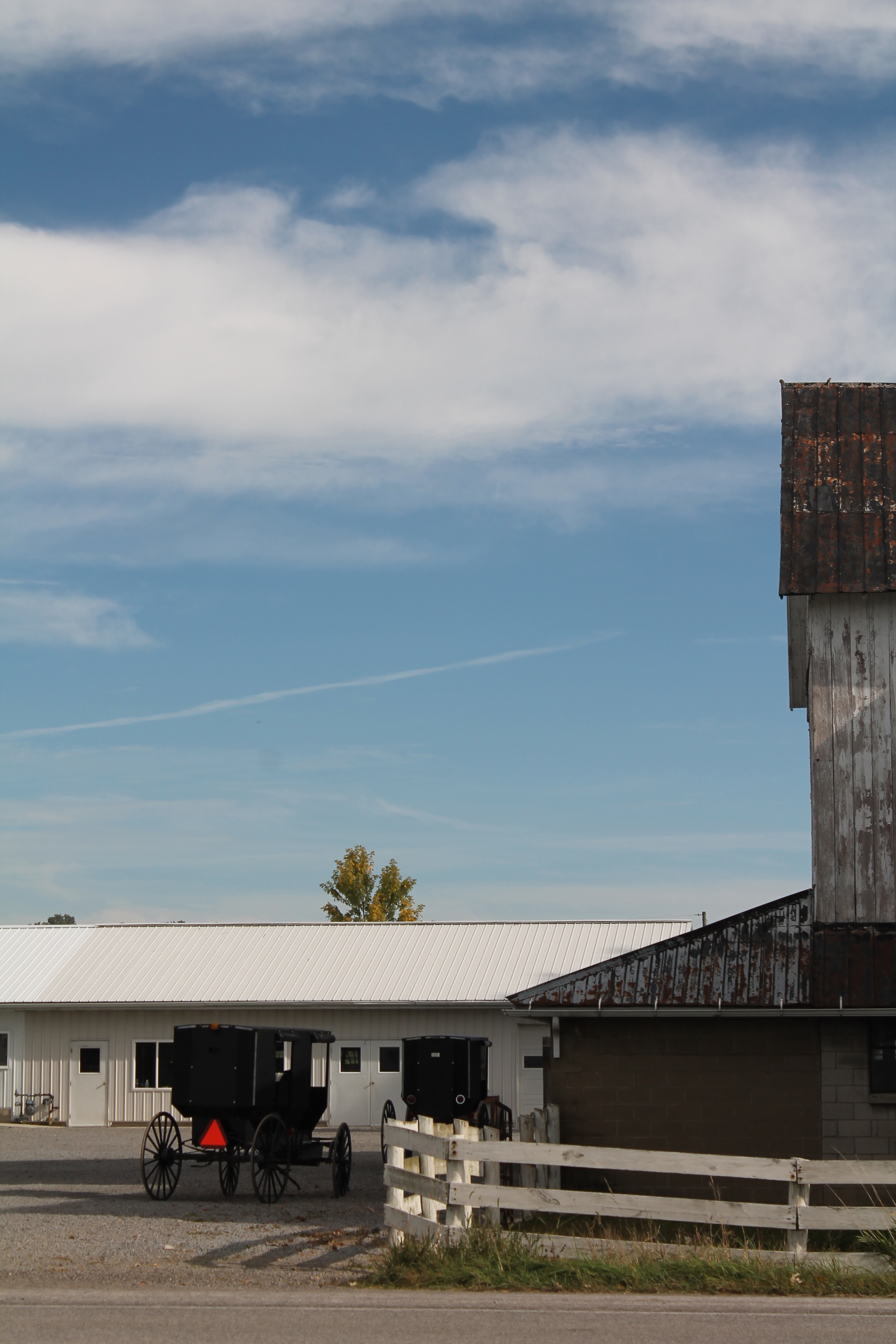
Mt. Eaton, Ohio

Searching for the CA&C in Apple Creek, Ohio: 6
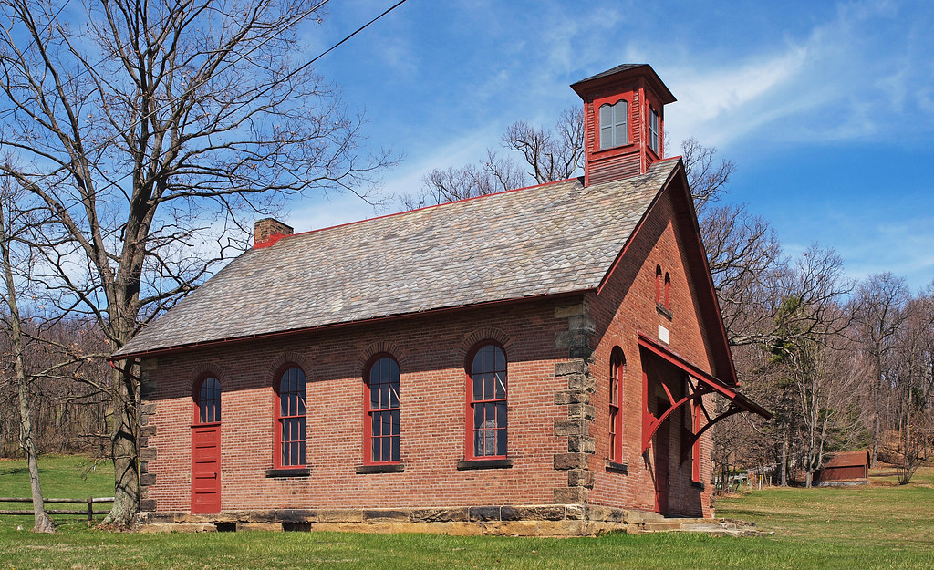
The Little Red Schoolhouse
Fluffy...

eBird Doc: Ohio Rock Wren

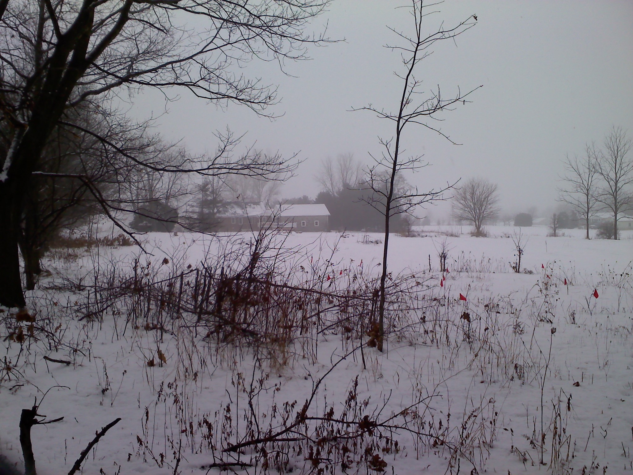
Sunrise over the field

eBird Doc: Ohio Rock Wren
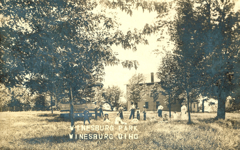
Winesburg, Holmes County Ohio, Park

Winesburg, Holmes County Ohio, East Main St Looking E
Blueberry B and B on Dec. 31st, 2009
The trots...
Sugar, sugar...

Holiday Bokeh

Chewey...
View from Heini's Market
Near Millersburg, Ohio USA

Farmhouse...

Big Mac attack...

Wilmot United Brethren Church - 1850
With a name like...
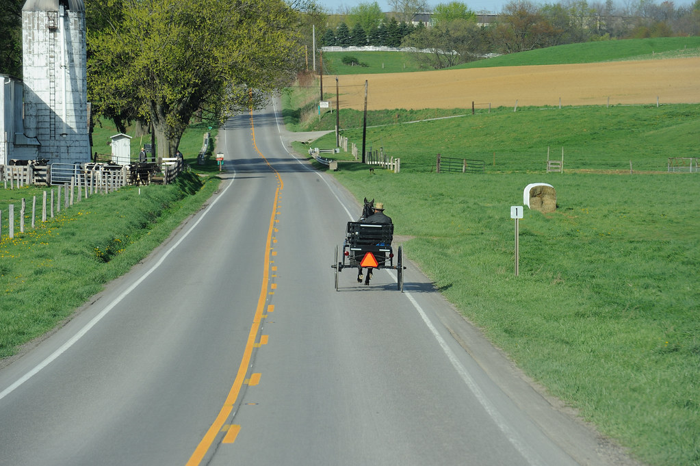
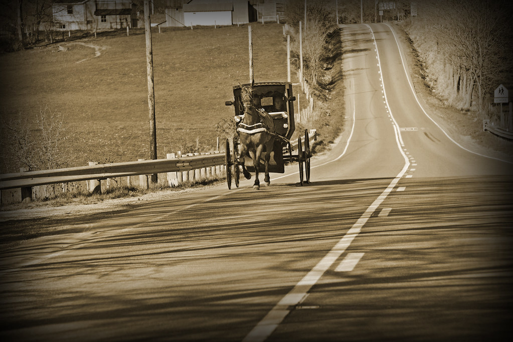
The long and winding road...

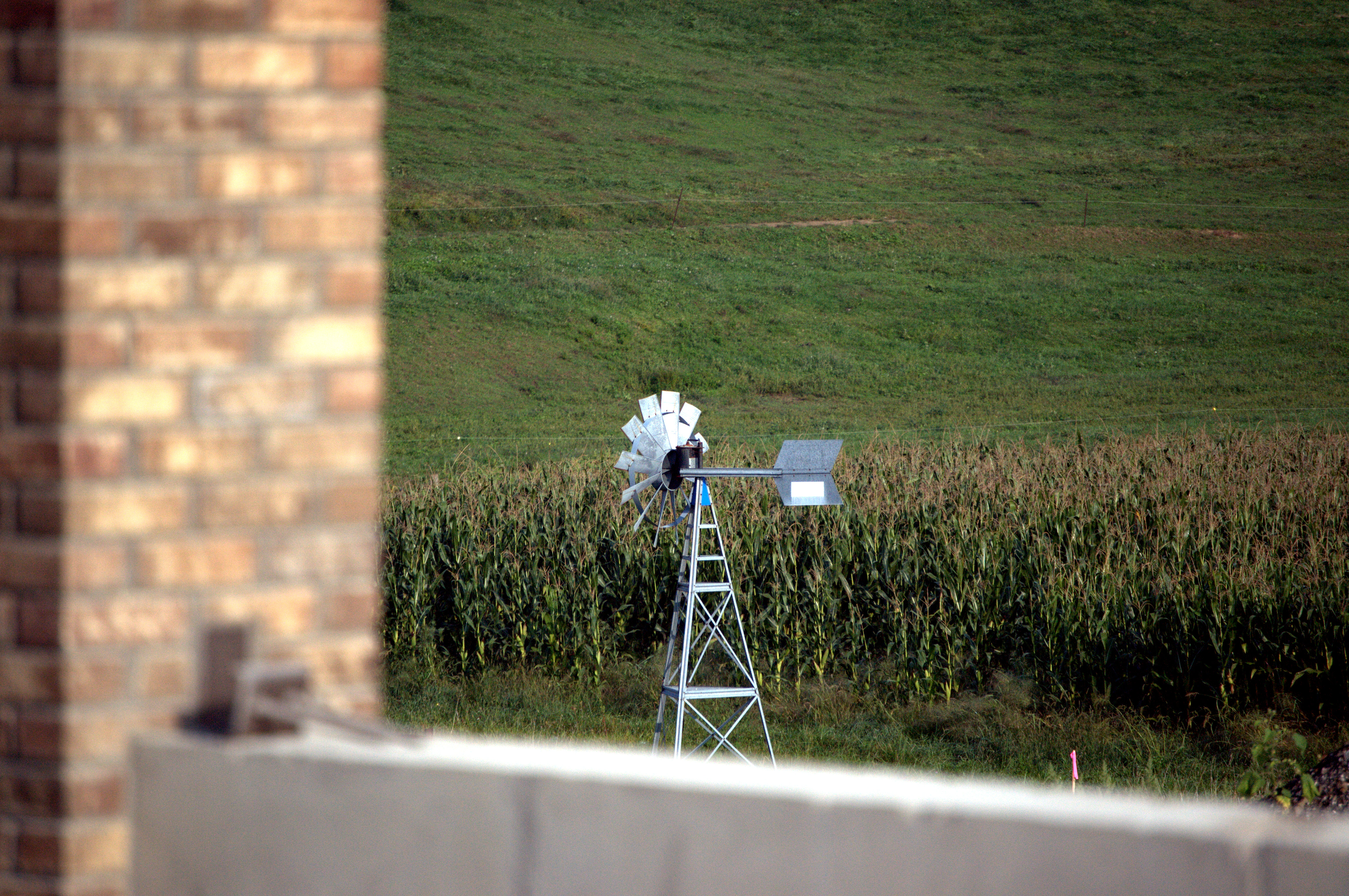
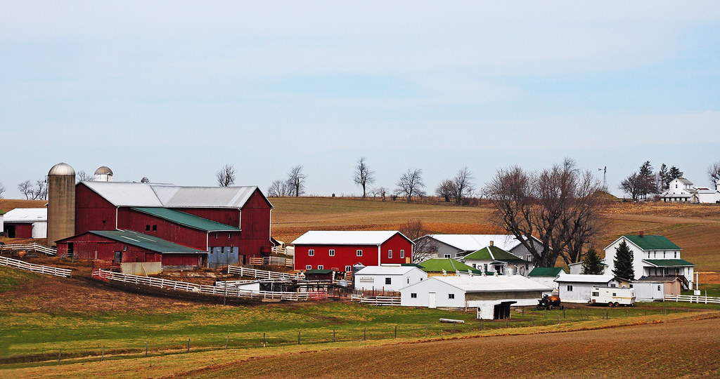
Amish Farm
_MG_8605-2
20120429-IMG_5261

20120429-IMG_5297
20120429-IMG_5256

20120429-IMG_5225

20120429-IMG_5267
Puffs and bundles....

20120429-IMG_5231

20120429-IMG_5316
IMG_0253 - 2010-07-31 at 15-47-57 - Version 2
IMG_0052 - 2010-07-31 at 13-46-21 - Version 2
W&LE 6358 Lawndell Brewster 212 10/25/14

IMG_0548 - 2010-07-31 at 20-11-18 - Version 2
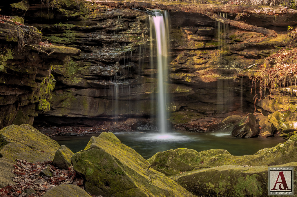
Downstream from Dundee Falls
20120429-IMG_5242

20120429-IMG_5315

Amish Farm, Millersburg, Ohio, USA.
IMG_2162[1]

Sunset over Amish Farm [183/365]
Topographic Map of Main, Mt Eaton, OH, USA
Find elevation by address:

Places near Main, Mt Eaton, OH, USA:
Paint Township
5681 Massillon Rd
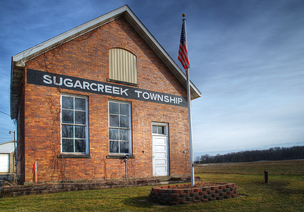
Sugar Creek Township
1089 Township Rd 660
Winesburg
Wilmot
13517 315
PR, Fredericksburg, OH, USA
Elton St SW, Navarre, OH, USA
Stanwood St SW, Navarre, OH, USA
Mount Hope
Jackson St, Millersburg, OH, USA
Mt. Hope Auction
Camp Road Northwest
Salt Creek Township
East Union Township
Sugar Creek Township
Beach City
Dover Rd, Apple Creek, OH, USA
Apple Creek
Recent Searches:
- Elevation of Corso Fratelli Cairoli, 35, Macerata MC, Italy
- Elevation of Tallevast Rd, Sarasota, FL, USA
- Elevation of 4th St E, Sonoma, CA, USA
- Elevation of Black Hollow Rd, Pennsdale, PA, USA
- Elevation of Oakland Ave, Williamsport, PA, USA
- Elevation of Pedrógão Grande, Portugal
- Elevation of Klee Dr, Martinsburg, WV, USA
- Elevation of Via Roma, Pieranica CR, Italy
- Elevation of Tavkvetili Mountain, Georgia
- Elevation of Hartfords Bluff Cir, Mt Pleasant, SC, USA