Elevation of Stanton Koko Rd, Stanton, TN, USA

Location: United States > Tennessee > Haywood County > Stanton >

Longitude: -89.288141

Latitude: 35.472183

Elevation: 112m / 367feet

Barometric Pressure: 100KPa

Elevation Map:

elevation map of Stanton Koko Rd, Stanton, TN, USA

Satellite Map:

Satellite map of Stanton Koko Rd, Stanton, TN, USA

Related Photos:

black texture water sunrise gold sooc
Sunrise on Water - view large
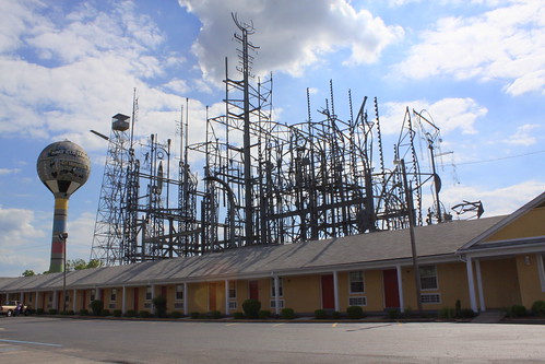
art tn tennessee roadsideamerica brownsville workofart us70 mindfield sunsetinn us79 tn1 haywoodcounty billytripp tn54 bmok tn19 billytrippsmindfield bmokmotel
Billy Tripp's Mindfield (View from the Inn-Side)
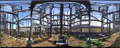
sculpture roadsideattraction mindfield photosynth billytrippsmindfield
Mindfield Panorama
brick history classic architecture rural vintage photography photo nikon antique tennessee columns engineering pic oldbuildings historic retro photograph americana courthouse thesouth hdr brownsville ruralamerica engineeringasart courtsquare historicbuilding 2015 smalltownamerica browntown photomatix bracketed brownsvilletn vintagearchitecture westtennessee vintagebuilding ruraltennessee hdrphotomatix ofandbyengineers ruralview fadingamerica hdrimaging retrobuilding haywoodcounty uscountycourthouses classicbuilding vanishingamerica brownsvilletennessee oldandbeautiful ibeauty historyisallaroundus antiquebuilding hdraddicted tennesseephotographer d5200 structuresofthesouth southernphotography screamofthephotographer hdrvillage engineeringisart jlrphotography photographyforgod worldhdr tennesseehdr nikond5200 hdrrighthererightnow engineerswithcameras hdrworlds jlramsaurphotography tennesseecountycourthouses haywoodcountycourthouse americanrelics it’saretroworldafterall haywoodcountytncourthouse
Haywood County, TN Courthouse - Brownsville, TN
flower spiral weed purple bokeh curl
Purple Weed Flower Bokeh
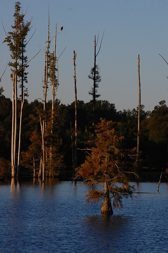
blue sky tree water eagle bald cypress
Bald Eagle top left
blue reflection water mirror stump
Reflection on blue
sculpture art tennessee metalwork firetower brownsville haywoodcounty billytripp themindfield
The Mindfield Tower
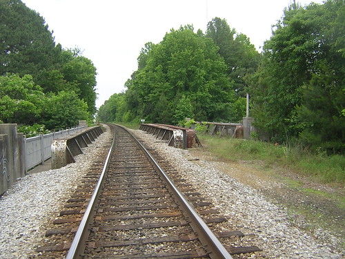
tennessee bridges us70
CSX Railroad Bridge-Deck View
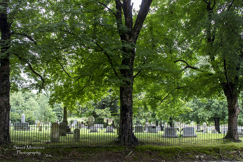
View from the Cemetery
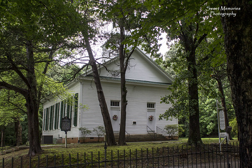
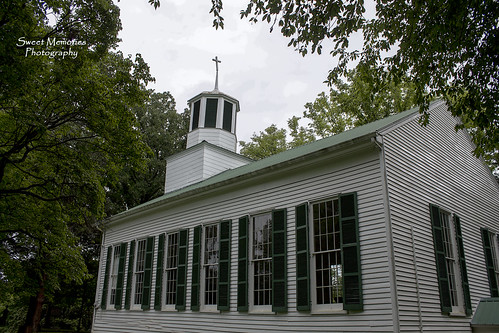
Old Dancyville Church
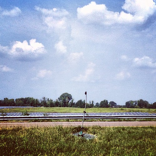
square squareformat hudson iphoneography instagramapp uploaded:by=instagram foursquare:venue=4ea9cc96d3e3846cbc63c131
2013-09-12; West TN Solar Farm. Indiana has windmills, Tennessee has solar panels, Haywood County TN #westtnsolarfarm #solarfarm #solar #farm #solarenergy #energy #sunenergy #sun #haywoodcounty #haywood #county #i40 #roadsideattraction #roadside #attracti
IMAG0885.jpg
Dancyville Cemetery