Elevation of Stanley Flat SA, Australia
Location: Australia > South Australia > Clare And Gilbert Valleys Council >
Longitude: 138.599509
Latitude: -33.785646
Elevation: 376m / 1234feet
Barometric Pressure: 97KPa
Elevation Map:
Satellite Map:
Related Photos:

View from the top!!

Gleeson Wetlands 20160514_20s

The windmill

Skillagolee Winery, Spring Gully, Clare Valley, Oct'12

Clare Valley view

View from Mt Surmon

Clare Valley view

View towards the Wakefield Plains and Yorke Peninsula from Spring Gully, Clare, SA.

View from Quarry Hill Lookout, Clare, SA

Artisans Bistro and Wine Bar, Clare, Apr'12

Neagle Rock lookout

Spring Gully Conservation Park

Bungaree - Flinders Ranges, South Australia

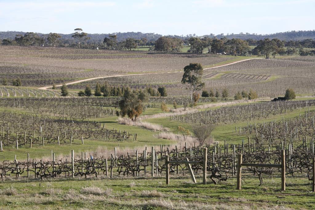
Pruning Required

Canola Dawn

Foggy Morning Clare Valley

Sunset Clare

Bathed in light

Seven Sisters - Australia 1991 (Time Travel) Ektachrome 64 scanned

Winter Light 2

Tree branch....

Sheep and mist 2

Sheep and mist 1

Gleeson Wetlands_IMG_1163_Bal_s

Saint Aloysius Church, Sevenhill Cellars Winery, Clare Valley, SA
20120801_07_Clare vineyard 2

7710C-05

Ruins at Sevenhill Cellars Winery, Clare Valley, SA

Yellow Agriculture

Sevenhill Winery, Clare Valley, SA

Sevenhill Winery, Clare Valley, SA

Spring Gully Conservation Park
Topographic Map of Stanley Flat SA, Australia
Find elevation by address:

Places near Stanley Flat SA, Australia:
105 Norman Dr
566 Spring Gully Rd
Watervale
Clare And Gilbert Valleys Council
Snowtown
Balaklava
21 Racecourse Rd
Owen
District Council Of Barunga West
Port Wakefield
Bute
Eudunda
Kapunda
Australia Plains
Light Regional Council
Ben Lomond Road
Ben Lomond Road
Ben Lomond Road
Ben Lomond Road
District Council Of Mallala
Recent Searches:
- Elevation of Corso Fratelli Cairoli, 35, Macerata MC, Italy
- Elevation of Tallevast Rd, Sarasota, FL, USA
- Elevation of 4th St E, Sonoma, CA, USA
- Elevation of Black Hollow Rd, Pennsdale, PA, USA
- Elevation of Oakland Ave, Williamsport, PA, USA
- Elevation of Pedrógão Grande, Portugal
- Elevation of Klee Dr, Martinsburg, WV, USA
- Elevation of Via Roma, Pieranica CR, Italy
- Elevation of Tavkvetili Mountain, Georgia
- Elevation of Hartfords Bluff Cir, Mt Pleasant, SC, USA