Elevation of Port Wakefield SA, Australia
Location: Australia > South Australia >
Longitude: 138.15
Latitude: -34.183333
Elevation: 7m / 23feet
Barometric Pressure: 0KPa
Related Photos:
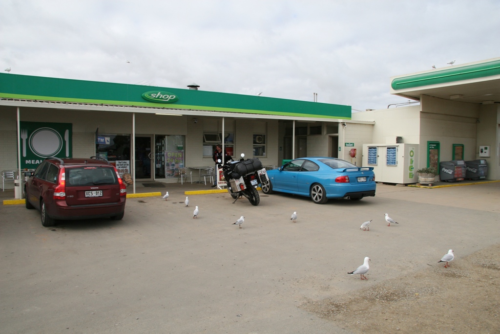
070609 Adelaide - Stuart Highway (2).jpg

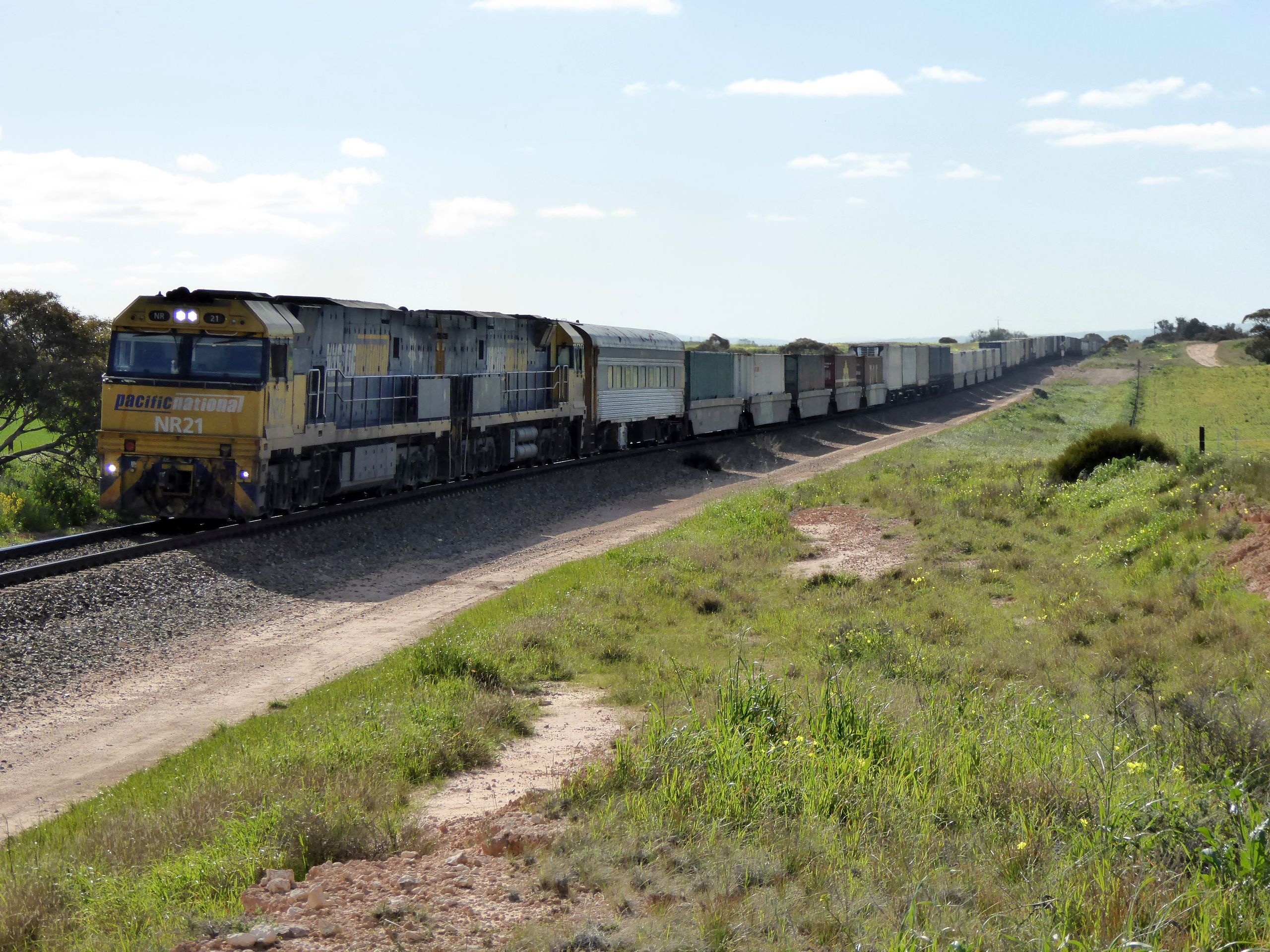
6004 6008 VL361 6MP1 Bowmens - Nantawarra Section 24 03 2012
Goods near Mallala
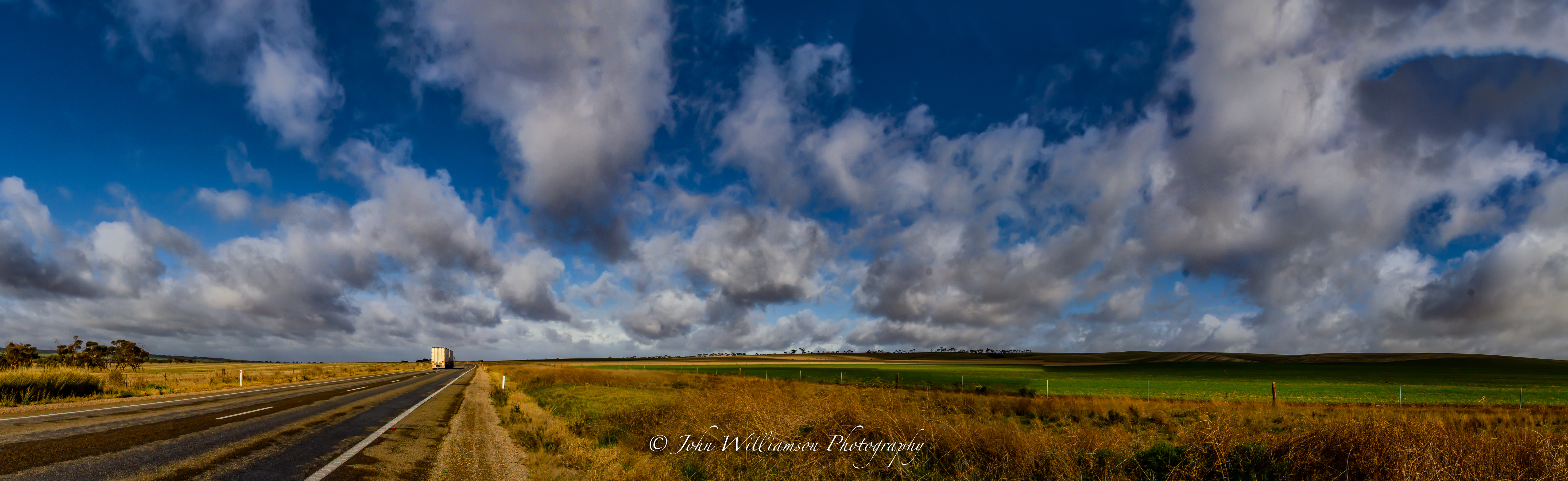
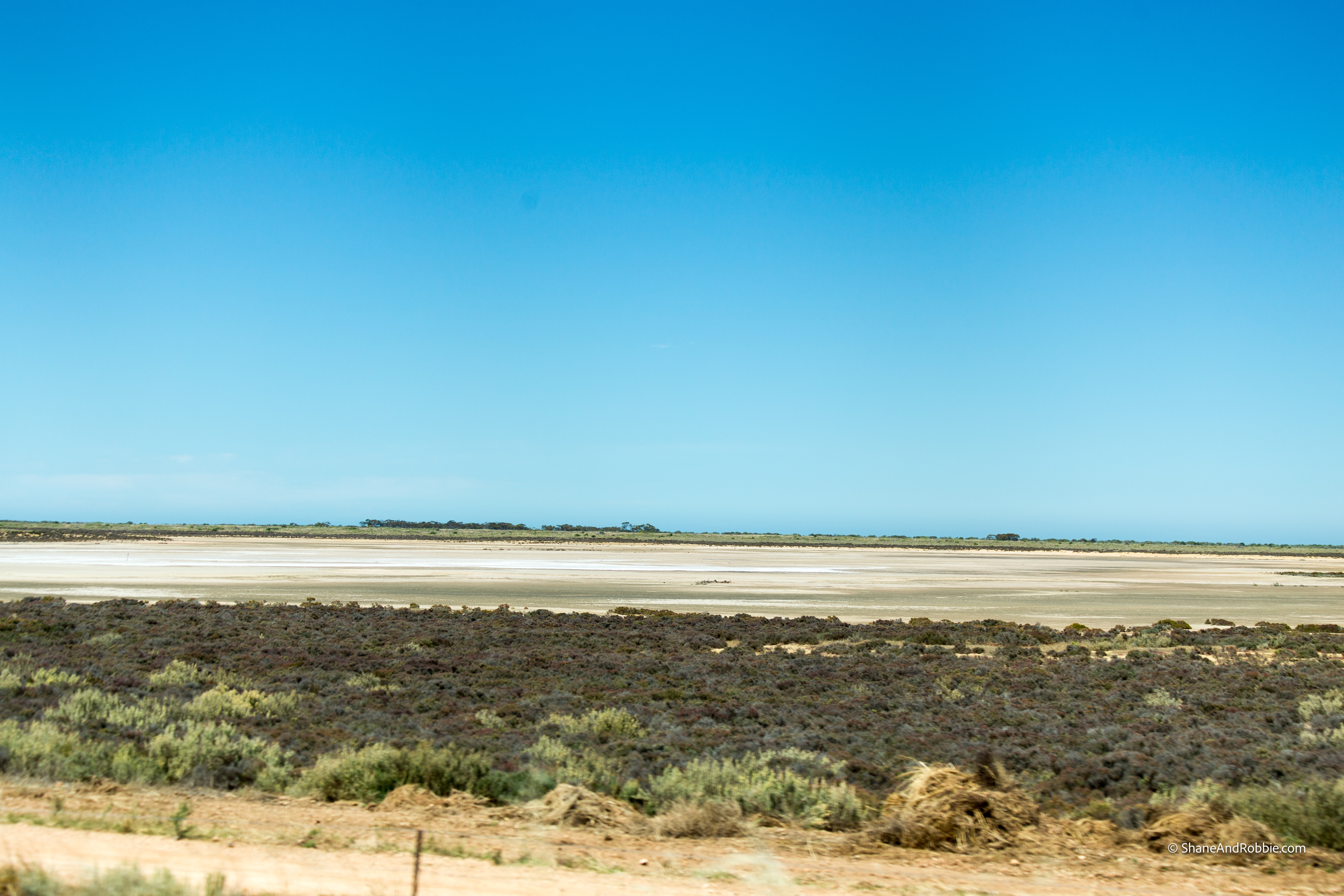
Pano near Port Wakefield
Here comes the rain.

Clothed in Algae
2017-SA-20171222-IMG_9534
Silver Mud

Hummocks 2009
Crusty Sand Around Inlet
South Hummocks track looking north
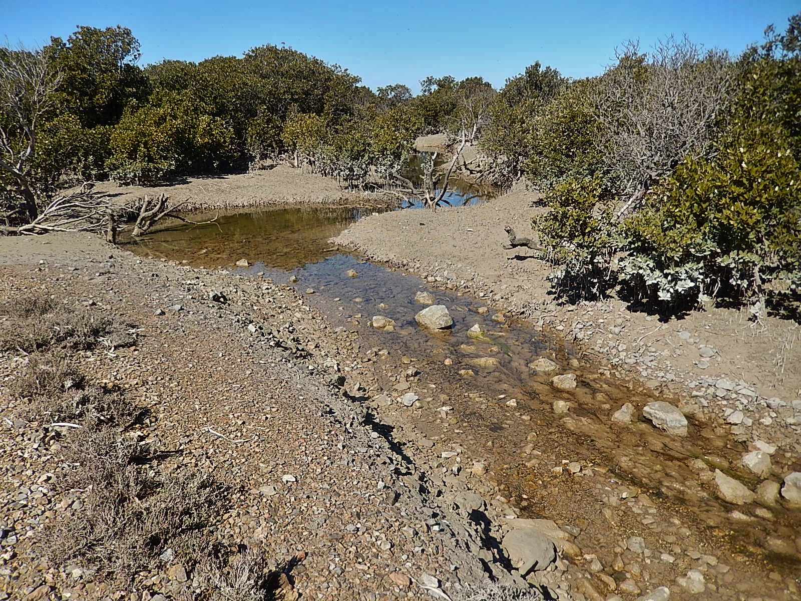
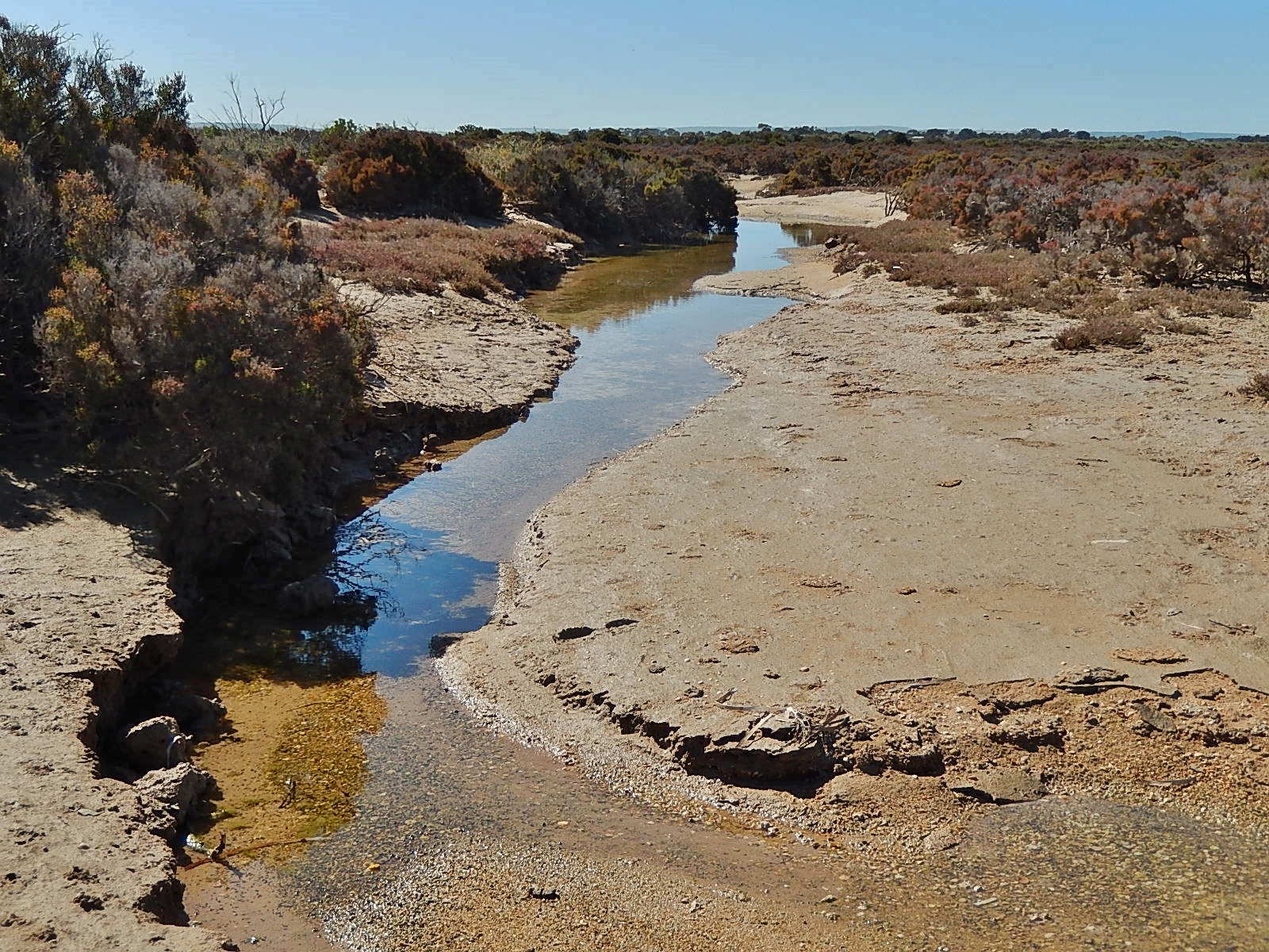
Mangrove Stream

Red-necked Stint
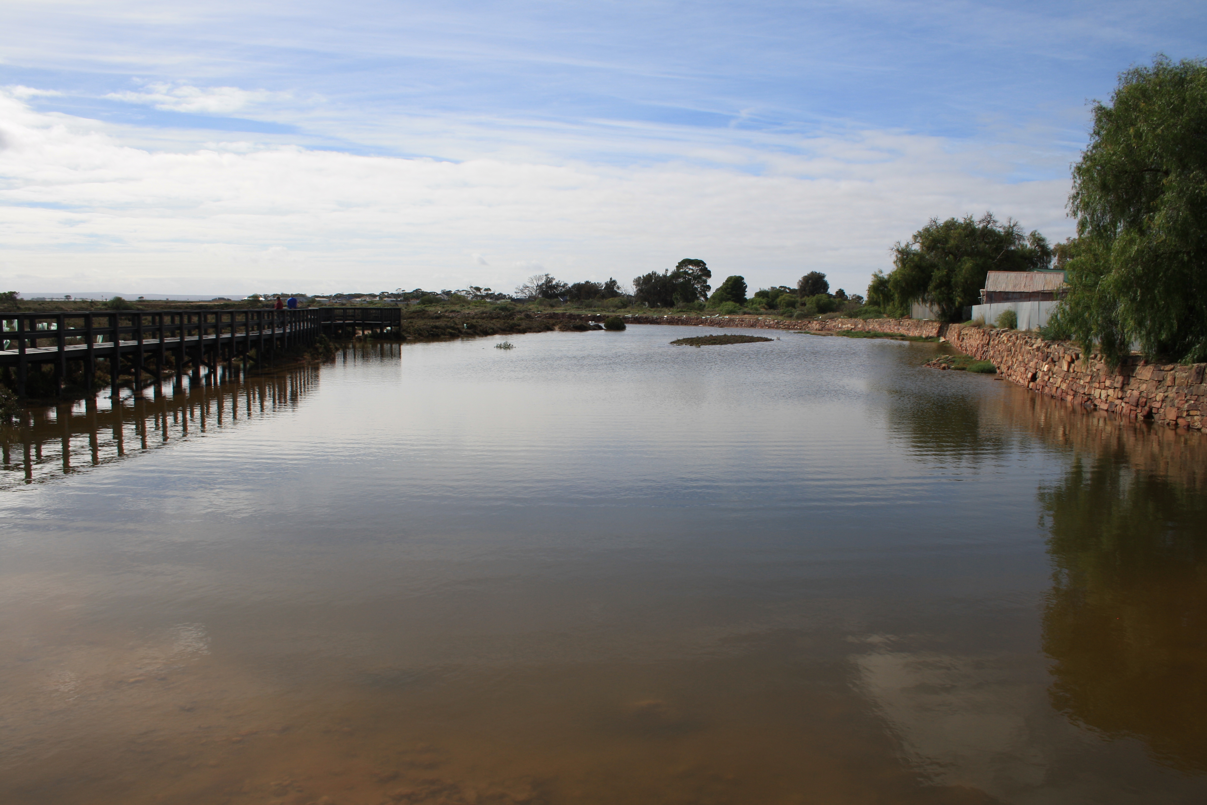
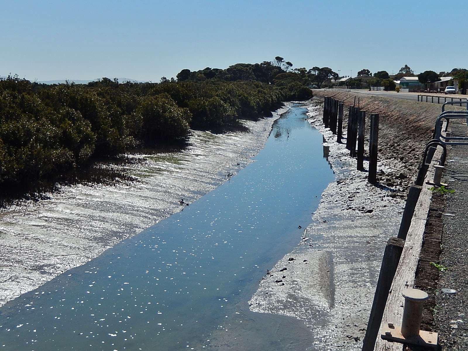
Stone sea wall, Port Wakefield
Topographic Map of Port Wakefield SA, Australia
Find elevation by address:

Places near Port Wakefield SA, Australia:
21 Racecourse Rd
Balaklava
Bute
District Council Of Mallala
Snowtown
Owen
District Council Of Barunga West
566 Spring Gully Rd
Watervale
Two Wells
Two Wells Primary School
Artesian Road
Port Gawler Road
105 Norman Dr
Stanley Flat
Clare And Gilbert Valleys Council
City Of Playford
Torrens Island
Torrens Island
76 Fiddlewood Dr
Recent Searches:
- Elevation map of Greenland, Greenland
- Elevation of Sullivan Hill, New York, New York, 10002, USA
- Elevation of Morehead Road, Withrow Downs, Charlotte, Mecklenburg County, North Carolina, 28262, USA
- Elevation of 2800, Morehead Road, Withrow Downs, Charlotte, Mecklenburg County, North Carolina, 28262, USA
- Elevation of Yangbi Yi Autonomous County, Yunnan, China
- Elevation of Pingpo, Yangbi Yi Autonomous County, Yunnan, China
- Elevation of Mount Malong, Pingpo, Yangbi Yi Autonomous County, Yunnan, China
- Elevation map of Yongping County, Yunnan, China
- Elevation of North 8th Street, Palatka, Putnam County, Florida, 32177, USA
- Elevation of 107, Big Apple Road, East Palatka, Putnam County, Florida, 32131, USA
- Elevation of Jiezi, Chongzhou City, Sichuan, China
- Elevation of Chongzhou City, Sichuan, China
- Elevation of Huaiyuan, Chongzhou City, Sichuan, China
- Elevation of Qingxia, Chengdu, Sichuan, China
- Elevation of Corso Fratelli Cairoli, 35, Macerata MC, Italy
- Elevation of Tallevast Rd, Sarasota, FL, USA
- Elevation of 4th St E, Sonoma, CA, USA
- Elevation of Black Hollow Rd, Pennsdale, PA, USA
- Elevation of Oakland Ave, Williamsport, PA, USA
- Elevation of Pedrógão Grande, Portugal