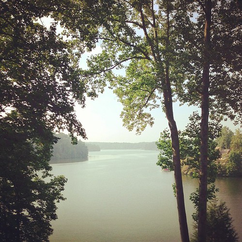
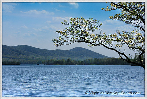
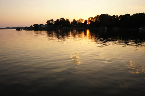
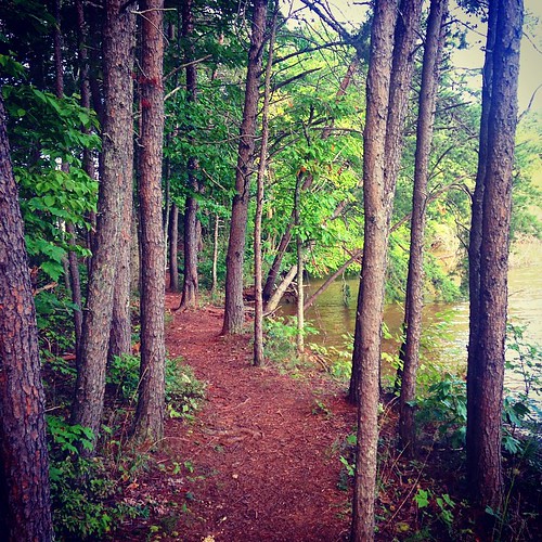
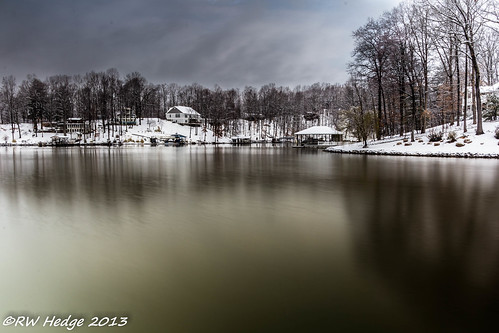
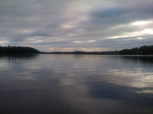
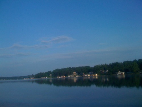
Elevation of Standiford Rd, Union Hall, VA, USA
Location: United States > Virginia > Franklin County >
Longitude: -79.688543
Latitude: 37.015369
Elevation: 278m / 912feet
Barometric Pressure: 0KPa
Related Photos:
Topographic Map of Standiford Rd, Union Hall, VA, USA
Find elevation by address:

Places near Standiford Rd, Union Hall, VA, USA:
217 Spence Rd
Union Hall
0 Spence Rd
32 Brooks Point Ln
Union Hall
Dudley Road
44-54
75 Green Hill Ct
250 Stripers Ln
414 Augusta Way
Smith Mountain Lake
Parkside Acres Lane
503 Windsor Point Dr
Penhook
450 Buck Run Dr
15 Holyfield Ln
Glade Hill
498 Meeks Rd
5544 Smith Mountain Rd
4100 Hatchett Rd
Recent Searches:
- Elevation of 10370, West 107th Circle, Westminster, Jefferson County, Colorado, 80021, USA
- Elevation of 611, Roman Road, Old Ford, Bow, London, England, E3 2RW, United Kingdom
- Elevation of 116, Beartown Road, Underhill, Chittenden County, Vermont, 05489, USA
- Elevation of Window Rock, Colfax County, New Mexico, 87714, USA
- Elevation of 4807, Rosecroft Street, Kempsville Gardens, Virginia Beach, Virginia, 23464, USA
- Elevation map of Matawinie, Quebec, Canada
- Elevation of Sainte-Émélie-de-l'Énergie, Matawinie, Quebec, Canada
- Elevation of Rue du Pont, Sainte-Émélie-de-l'Énergie, Matawinie, Quebec, J0K2K0, Canada
- Elevation of 8, Rue de Bécancour, Blainville, Thérèse-De Blainville, Quebec, J7B1N2, Canada
- Elevation of Wilmot Court North, 163, University Avenue West, Northdale, Waterloo, Region of Waterloo, Ontario, N2L6B6, Canada
- Elevation map of Panamá Province, Panama
- Elevation of Balboa, Panamá Province, Panama
- Elevation of San Miguel, Balboa, Panamá Province, Panama
- Elevation of Isla Gibraleón, San Miguel, Balboa, Panamá Province, Panama
- Elevation of 4655, Krischke Road, Schulenburg, Fayette County, Texas, 78956, USA
- Elevation of Carnegie Avenue, Downtown Cleveland, Cleveland, Cuyahoga County, Ohio, 44115, USA
- Elevation of Walhonding, Coshocton County, Ohio, USA
- Elevation of Clifton Down, Clifton, Bristol, City of Bristol, England, BS8 3HU, United Kingdom
- Elevation map of Auvergne-Rhône-Alpes, France
- Elevation map of Upper Savoy, Auvergne-Rhône-Alpes, France
