Elevation of Stahl Ave, Goff, KS, USA
Location: United States > Kansas > Nemaha County > Harrison > Goff >
Longitude: -95.932314
Latitude: 39.6636454
Elevation: 371m / 1217feet
Barometric Pressure: 97KPa
Elevation Map:
Satellite Map:
Related Photos:

DJI002802

DJI00391
DJI00018

Freightliner #2

K-9 and K-63 Junction, 25 June 2015

Interesting sign along K-63, 25 June 2015

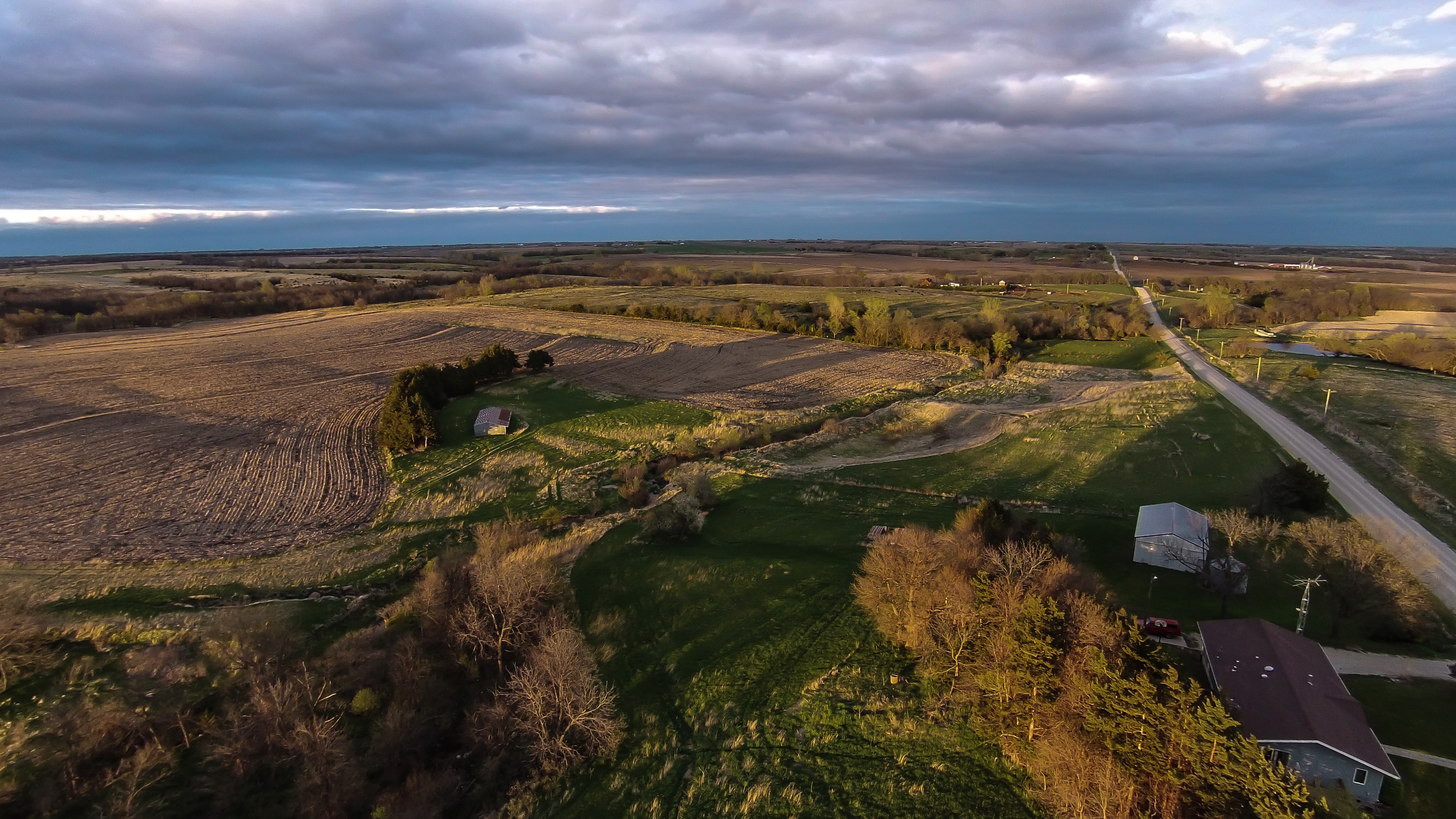
Farmland in Nemaha County, 25 June 2015
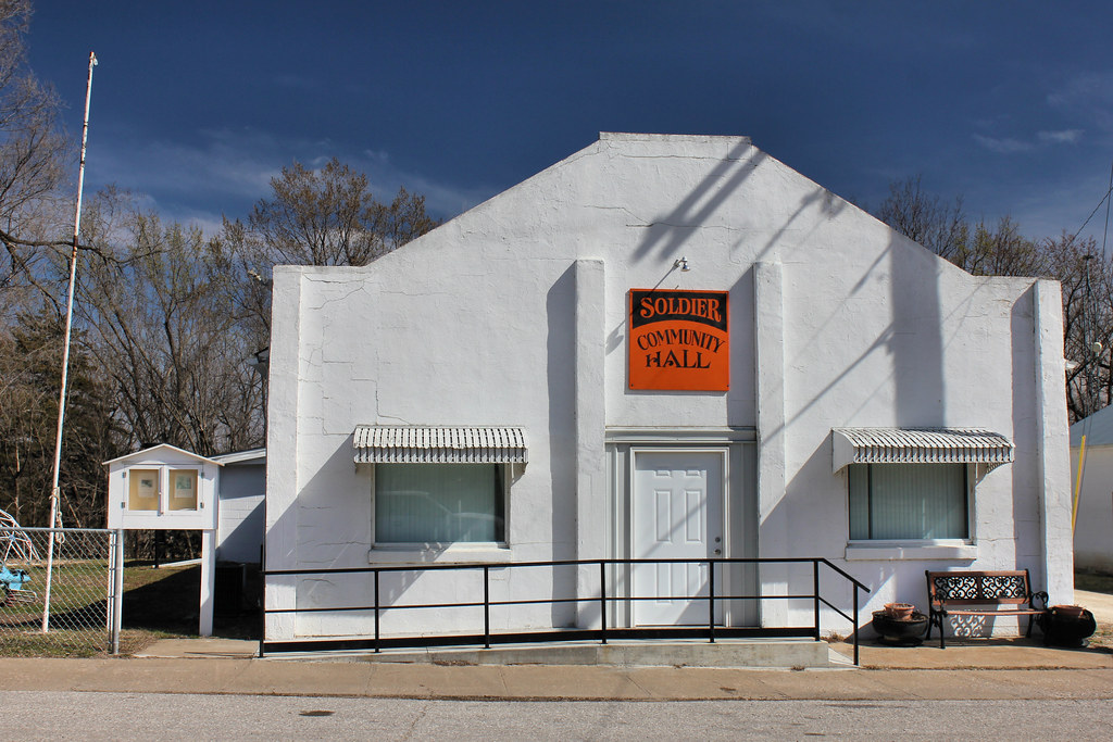
Community Hall - Soldier, KS
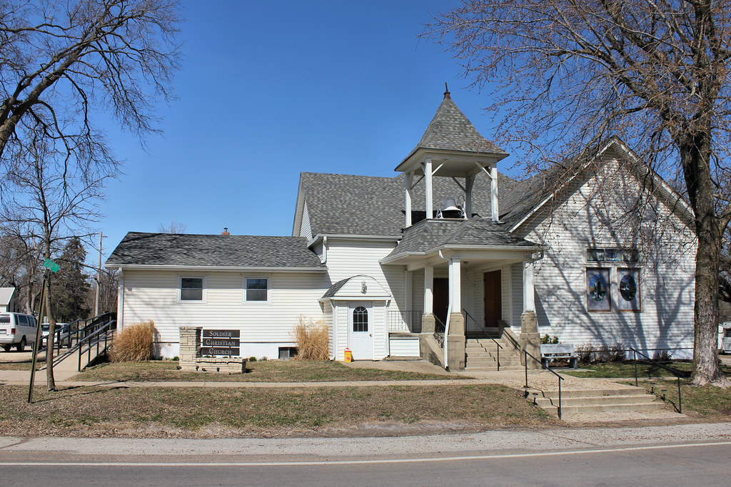
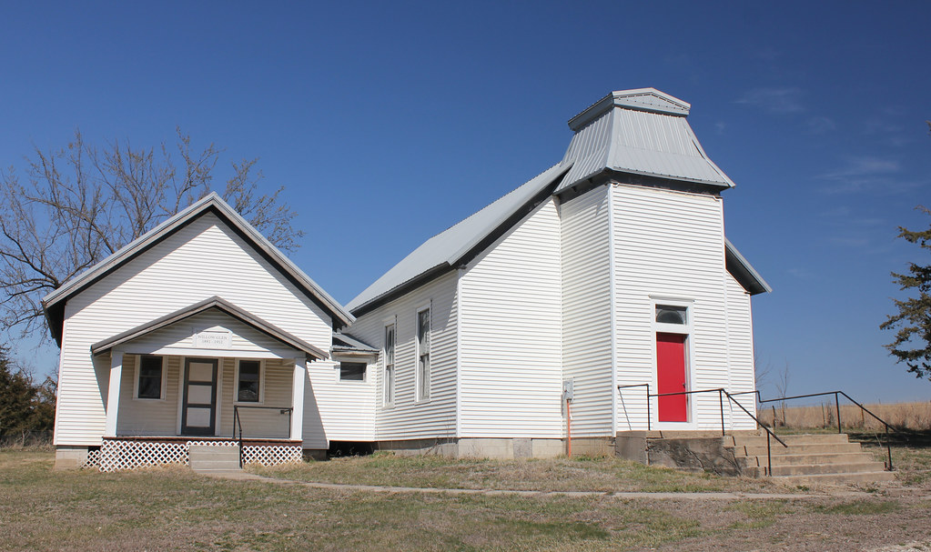
Soldier Christian Church - Soldier, KS
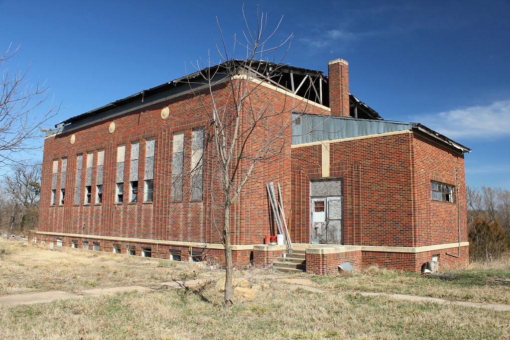
School Gymnasium - Soldier, KS
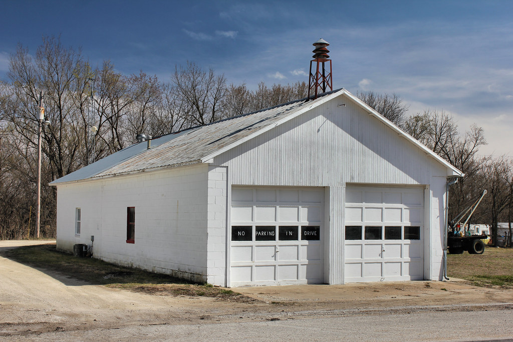
Fire Station (Former) - Soldier, KS
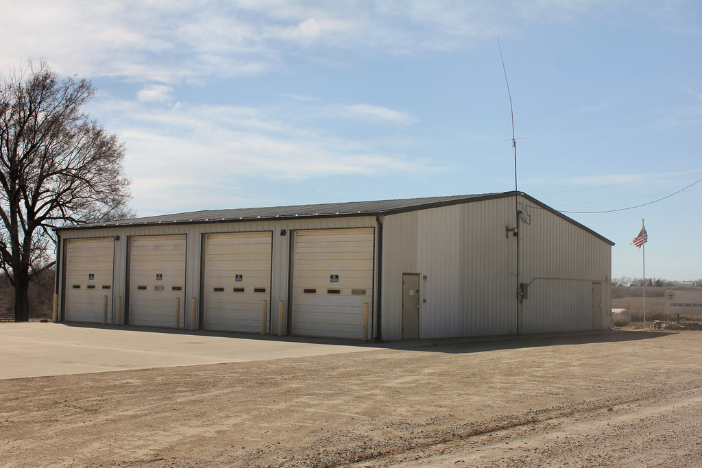
Fire Station - Soldier, KS
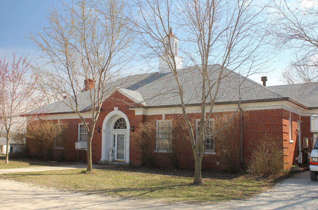
Public School - Soldier, KS
Gas Station - Soldier, KS
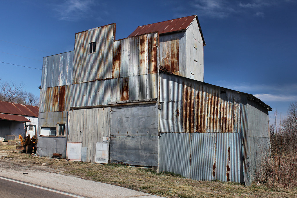
Feed Mill - Soldier, KS

Kansas City, Wyandotte & Northwestern Depot - Bancroft, KS

Willow Glen School, District 77 - Bancroft, KS
Willow Glen School, District 77 - Bancroft, KS

Public School - Bancroft, KS
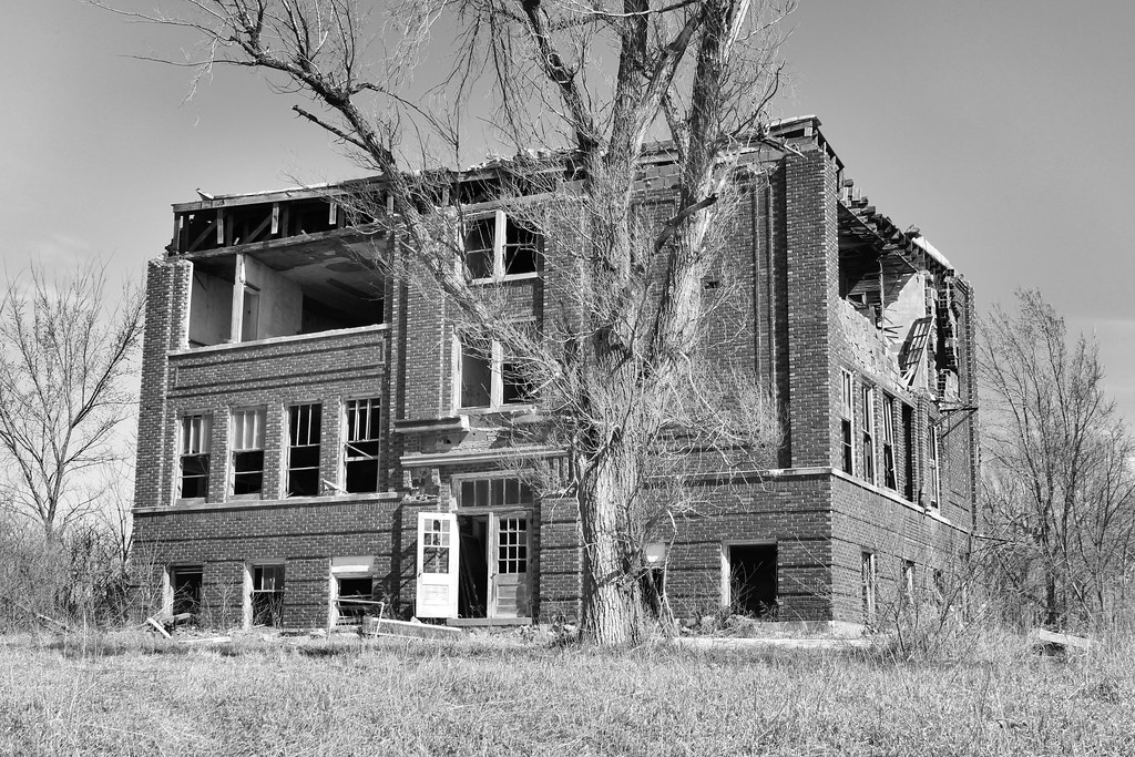
Public School - Bancroft, KS
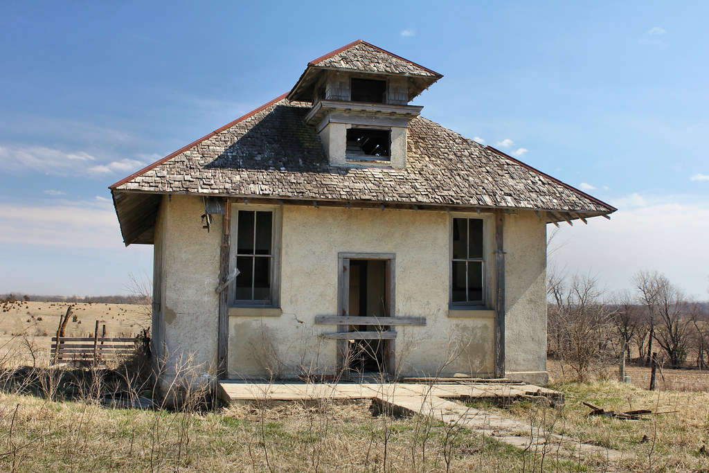
Schoolhouse - rural Wetmore, KS
Schoolhouse - rural Wetmore, KS

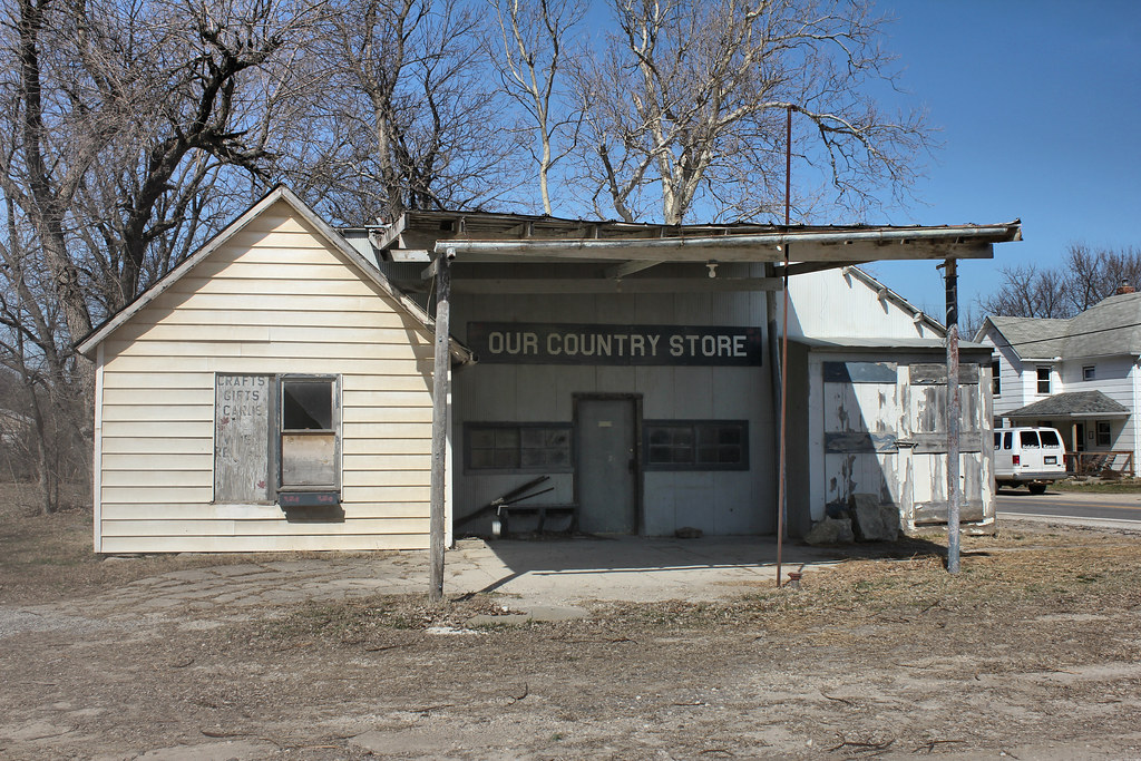
Tri-County Ag Supply - Wetmore, KS

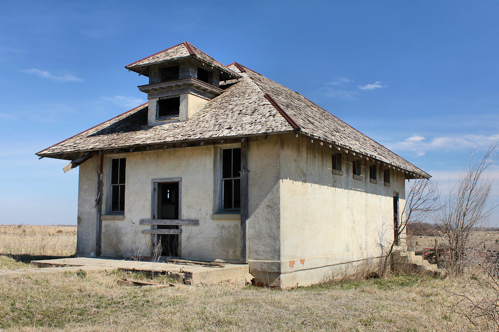
Schoolhouse - rural Kelly, KS
Topographic Map of Stahl Ave, Goff, KS, USA
Find elevation by address:

Places near Stahl Ave, Goff, KS, USA:
Goff
Harrison
Nemaha County
Corning
5th St, Corning, KS, USA
Granada
2nd St, Soldier, KS, USA
X6 Rd, Wetmore, KS, USA
Illinois
Usc, Llc
Netawaka
Pottawatomie St, Soldier, KS, USA
Havensville
Main St, Seneca, KS, USA
Seneca
Grant
Kansas Ave, Netawaka, KS, USA
Netawaka
Banner
21377 K Rd
Recent Searches:
- Elevation of Corso Fratelli Cairoli, 35, Macerata MC, Italy
- Elevation of Tallevast Rd, Sarasota, FL, USA
- Elevation of 4th St E, Sonoma, CA, USA
- Elevation of Black Hollow Rd, Pennsdale, PA, USA
- Elevation of Oakland Ave, Williamsport, PA, USA
- Elevation of Pedrógão Grande, Portugal
- Elevation of Klee Dr, Martinsburg, WV, USA
- Elevation of Via Roma, Pieranica CR, Italy
- Elevation of Tavkvetili Mountain, Georgia
- Elevation of Hartfords Bluff Cir, Mt Pleasant, SC, USA