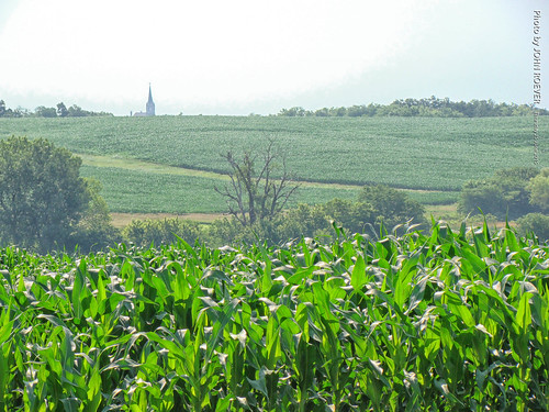
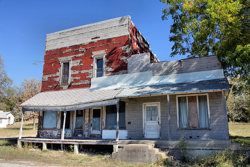
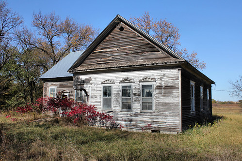
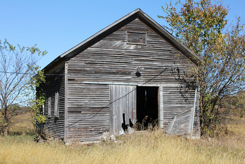
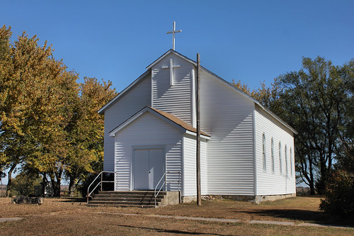
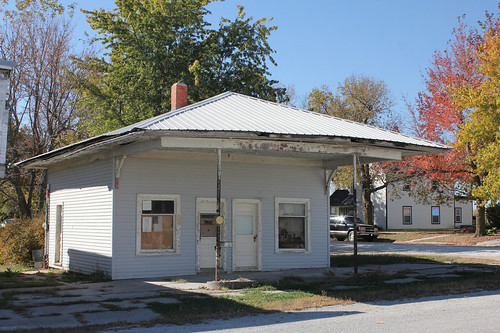
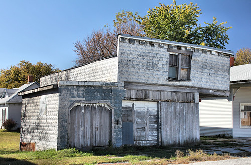
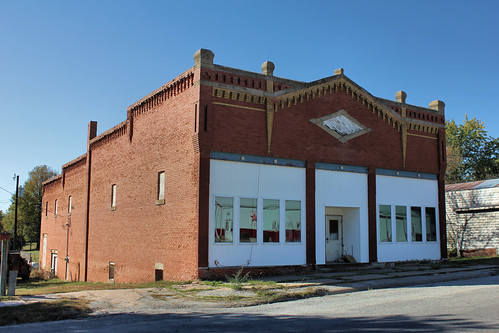
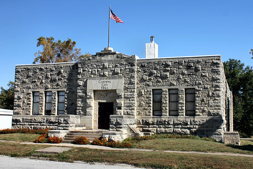
Elevation of Corning, KS, USA
Location: United States > Kansas > Nemaha County > Illinois >
Longitude: -96.0294417
Latitude: 39.6572186
Elevation: 409m / 1342feet
Barometric Pressure: 0KPa
Related Photos:
Topographic Map of Corning, KS, USA
Find elevation by address:

Places in Corning, KS, USA:
Places near Corning, KS, USA:
5th St, Corning, KS, USA
Illinois
Harrison
Stahl Ave, Goff, KS, USA
Goff
Nemaha County
2nd St, Soldier, KS, USA
Pottawatomie St, Soldier, KS, USA
Havensville
Grant
Main St, Seneca, KS, USA
Seneca
Granada
Mill Creek
Leonard St, Onaga, KS, USA
Onaga
17857 Day Rd
X6 Rd, Wetmore, KS, USA
Usc, Llc
20795 Major Jenkins Rd
Recent Searches:
- Elevation map of Greenland, Greenland
- Elevation of Sullivan Hill, New York, New York, 10002, USA
- Elevation of Morehead Road, Withrow Downs, Charlotte, Mecklenburg County, North Carolina, 28262, USA
- Elevation of 2800, Morehead Road, Withrow Downs, Charlotte, Mecklenburg County, North Carolina, 28262, USA
- Elevation of Yangbi Yi Autonomous County, Yunnan, China
- Elevation of Pingpo, Yangbi Yi Autonomous County, Yunnan, China
- Elevation of Mount Malong, Pingpo, Yangbi Yi Autonomous County, Yunnan, China
- Elevation map of Yongping County, Yunnan, China
- Elevation of North 8th Street, Palatka, Putnam County, Florida, 32177, USA
- Elevation of 107, Big Apple Road, East Palatka, Putnam County, Florida, 32131, USA
- Elevation of Jiezi, Chongzhou City, Sichuan, China
- Elevation of Chongzhou City, Sichuan, China
- Elevation of Huaiyuan, Chongzhou City, Sichuan, China
- Elevation of Qingxia, Chengdu, Sichuan, China
- Elevation of Corso Fratelli Cairoli, 35, Macerata MC, Italy
- Elevation of Tallevast Rd, Sarasota, FL, USA
- Elevation of 4th St E, Sonoma, CA, USA
- Elevation of Black Hollow Rd, Pennsdale, PA, USA
- Elevation of Oakland Ave, Williamsport, PA, USA
- Elevation of Pedrógão Grande, Portugal


