Elevation of St Thomas St, Providence, KY, USA
Longitude: -87.7604421
Latitude: 37.3861169
Elevation: -10000m / -32808feet
Barometric Pressure: 0KPa
Related Photos:

Empty Chair
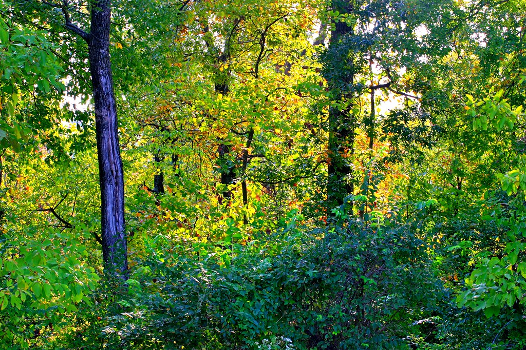
Into the Kentucky wilderness
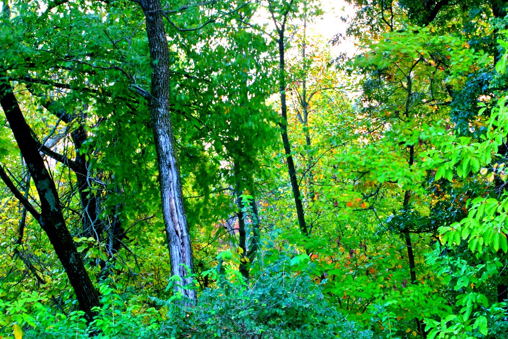
Into the Kentucky Jungle

CSX W103, Manitou,KY 12/17/2013
Topographic Map of St Thomas St, Providence, KY, USA
Find elevation by address:

Places near St Thomas St, Providence, KY, USA:
Providence
US-41 ALT, Providence, KY, USA
Webster County
Clay
KY-, Clay, KY, USA
KY-, Dixon, KY, USA
Nebo
KY-, Dixon, KY, USA
11410 Beulah Rd
Wheatcroft
KY-, Wheatcroft, KY, USA
Dixon
16 US-41 ALT, Dixon, KY, USA
84 State Hwy, Dixon, KY, USA
6300 Olney Rd
KY-, Marion, KY, USA
Manitou
1225 Columbia Schoolhouse Rd
Charleston Rd, Dawson Springs, KY, USA
2502 Olney Rd
Recent Searches:
- Elevation map of Greenland, Greenland
- Elevation of Sullivan Hill, New York, New York, 10002, USA
- Elevation of Morehead Road, Withrow Downs, Charlotte, Mecklenburg County, North Carolina, 28262, USA
- Elevation of 2800, Morehead Road, Withrow Downs, Charlotte, Mecklenburg County, North Carolina, 28262, USA
- Elevation of Yangbi Yi Autonomous County, Yunnan, China
- Elevation of Pingpo, Yangbi Yi Autonomous County, Yunnan, China
- Elevation of Mount Malong, Pingpo, Yangbi Yi Autonomous County, Yunnan, China
- Elevation map of Yongping County, Yunnan, China
- Elevation of North 8th Street, Palatka, Putnam County, Florida, 32177, USA
- Elevation of 107, Big Apple Road, East Palatka, Putnam County, Florida, 32131, USA
- Elevation of Jiezi, Chongzhou City, Sichuan, China
- Elevation of Chongzhou City, Sichuan, China
- Elevation of Huaiyuan, Chongzhou City, Sichuan, China
- Elevation of Qingxia, Chengdu, Sichuan, China
- Elevation of Corso Fratelli Cairoli, 35, Macerata MC, Italy
- Elevation of Tallevast Rd, Sarasota, FL, USA
- Elevation of 4th St E, Sonoma, CA, USA
- Elevation of Black Hollow Rd, Pennsdale, PA, USA
- Elevation of Oakland Ave, Williamsport, PA, USA
- Elevation of Pedrógão Grande, Portugal