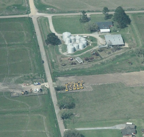
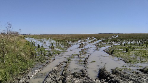
Elevation of St Jude Rd, Gueydan, LA, USA
Location: United States > Louisiana > Vermilion Parish > > Gueydan >
Longitude: -92.523926
Latitude: 30.0905251
Elevation: 1m / 3feet
Barometric Pressure: 101KPa
Related Photos:
Topographic Map of St Jude Rd, Gueydan, LA, USA
Find elevation by address:

Places near St Jude Rd, Gueydan, LA, USA:
Lakeview Cir, Morse, LA, USA
Riceville Road
Arnold Road
Campbell Road
119 Paul St
204 Coon Richard St
5011 Alvie Rd
5011 Alvie Rd
34116 Cypress Point Rd
209 W Hanks St
120 Harold
209 W Hanks St
Istre Road
Morse
112 E Richardson St
2050 Istre Rd
2141 Istre Rd
4220 W Whitney St
3234 Lyons Point Hwy
2326 Everglade Rd
Recent Searches:
- Elevation of Corso Fratelli Cairoli, 35, Macerata MC, Italy
- Elevation of Tallevast Rd, Sarasota, FL, USA
- Elevation of 4th St E, Sonoma, CA, USA
- Elevation of Black Hollow Rd, Pennsdale, PA, USA
- Elevation of Oakland Ave, Williamsport, PA, USA
- Elevation of Pedrógão Grande, Portugal
- Elevation of Klee Dr, Martinsburg, WV, USA
- Elevation of Via Roma, Pieranica CR, Italy
- Elevation of Tavkvetili Mountain, Georgia
- Elevation of Hartfords Bluff Cir, Mt Pleasant, SC, USA


