Elevation of Campbell Road, Campbell Rd, Gueydan, LA, USA
Location: United States > Louisiana > Vermilion Parish > >
Longitude: -92.509089
Latitude: 30.0649792
Elevation: 3m / 10feet
Barometric Pressure: 101KPa
Elevation Map:
Satellite Map:
Related Photos:

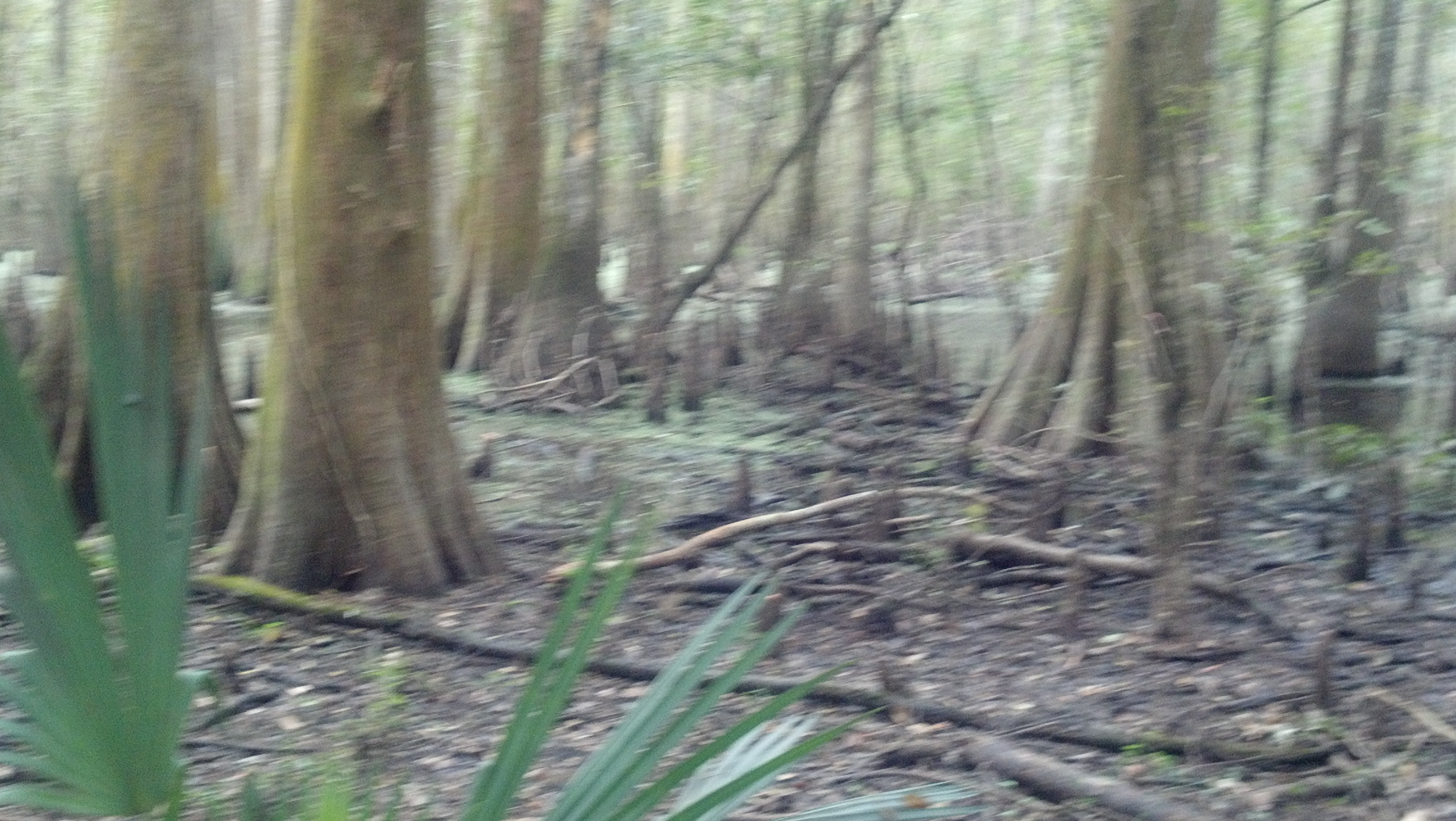
Cypress Forest
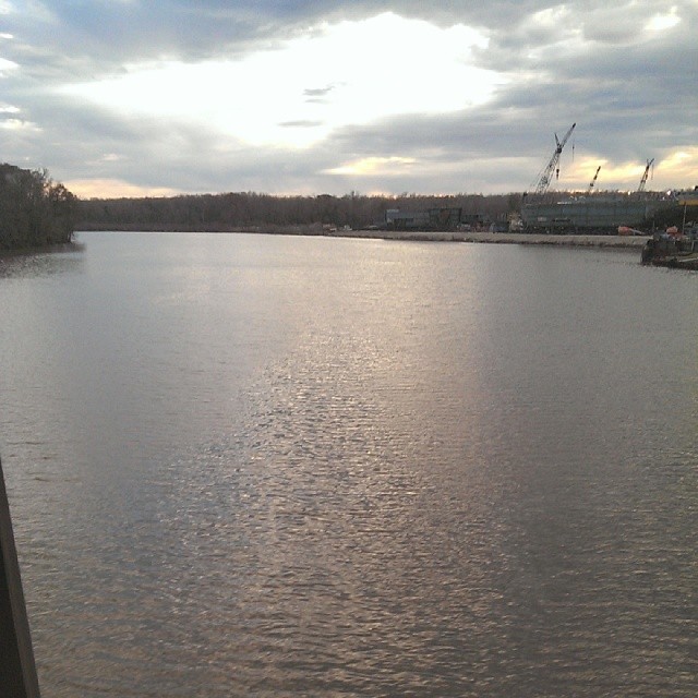
Mermentau river
Cypress Forest

Welcome to Lake Arthur Sign (Lake Arthur, Louisiana)

Gueydan, Louisiana City Hall

Gueydan, Louisiana City Hall

Federal Building and Post Office 70542 (Gueydan, Louisiana)
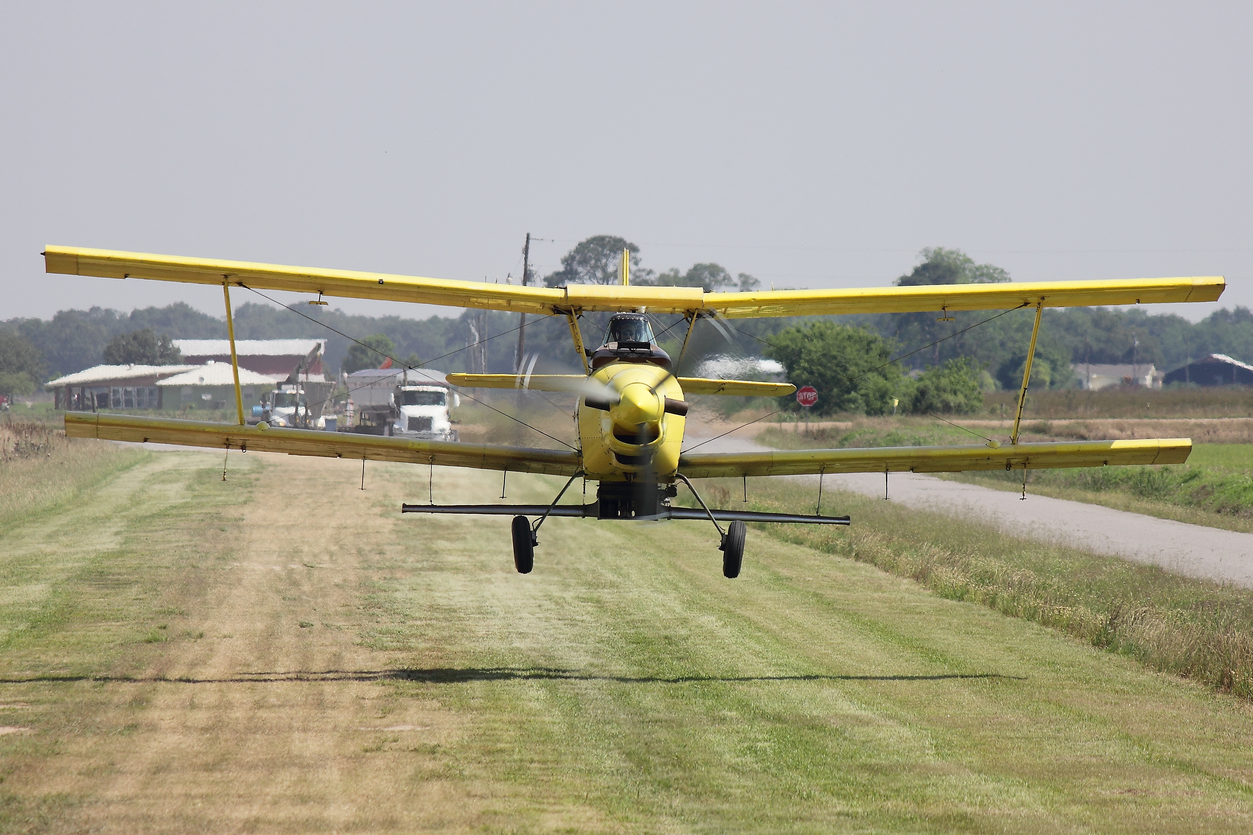
Ag Cat
IMG_2592-2

IMG_2771-2
Topographic Map of Campbell Road, Campbell Rd, Gueydan, LA, USA
Find elevation by address:

Places near Campbell Road, Campbell Rd, Gueydan, LA, USA:
Lakeview Cir, Morse, LA, USA
32602 St Jude Rd
Riceville Road
5011 Alvie Rd
5011 Alvie Rd
34116 Cypress Point Rd
119 Paul St
204 Coon Richard St
120 Harold
209 W Hanks St
209 W Hanks St
Arnold Road
3234 Lyons Point Hwy
112 E Richardson St
Morse
Istre Road
2050 Istre Rd
2141 Istre Rd
4220 W Whitney St
37916 Tim Rd
Recent Searches:
- Elevation of Corso Fratelli Cairoli, 35, Macerata MC, Italy
- Elevation of Tallevast Rd, Sarasota, FL, USA
- Elevation of 4th St E, Sonoma, CA, USA
- Elevation of Black Hollow Rd, Pennsdale, PA, USA
- Elevation of Oakland Ave, Williamsport, PA, USA
- Elevation of Pedrógão Grande, Portugal
- Elevation of Klee Dr, Martinsburg, WV, USA
- Elevation of Via Roma, Pieranica CR, Italy
- Elevation of Tavkvetili Mountain, Georgia
- Elevation of Hartfords Bluff Cir, Mt Pleasant, SC, USA