Elevation of St.-Charles, ON, Canada
Location: Canada > Ontario > Sudbury District >
Longitude: -80.416704
Latitude: 46.362467
Elevation: 231m / 758feet
Barometric Pressure: 99KPa
Elevation Map:
Satellite Map:
Related Photos:
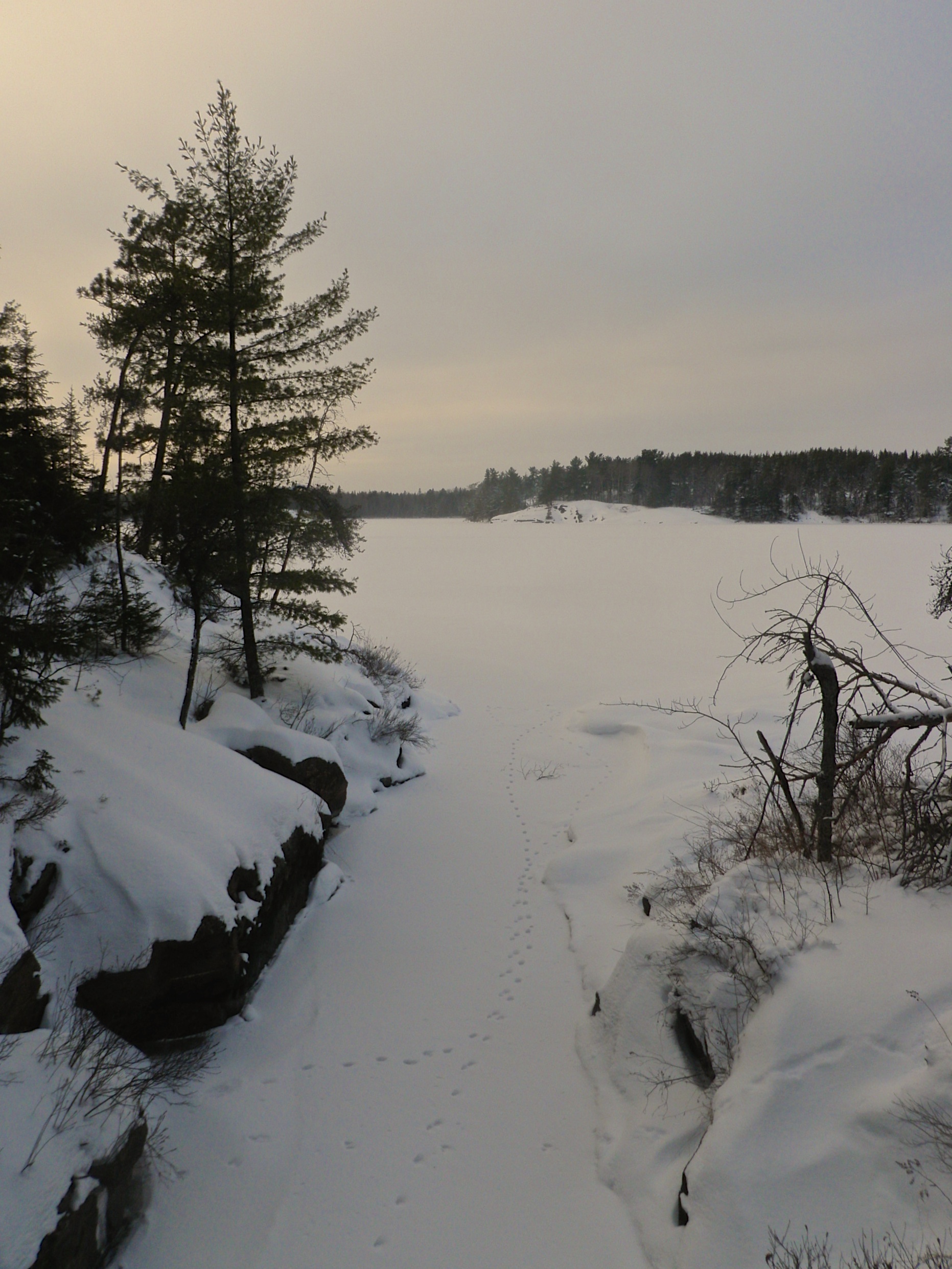
Channel Outlet
Atakas Trail
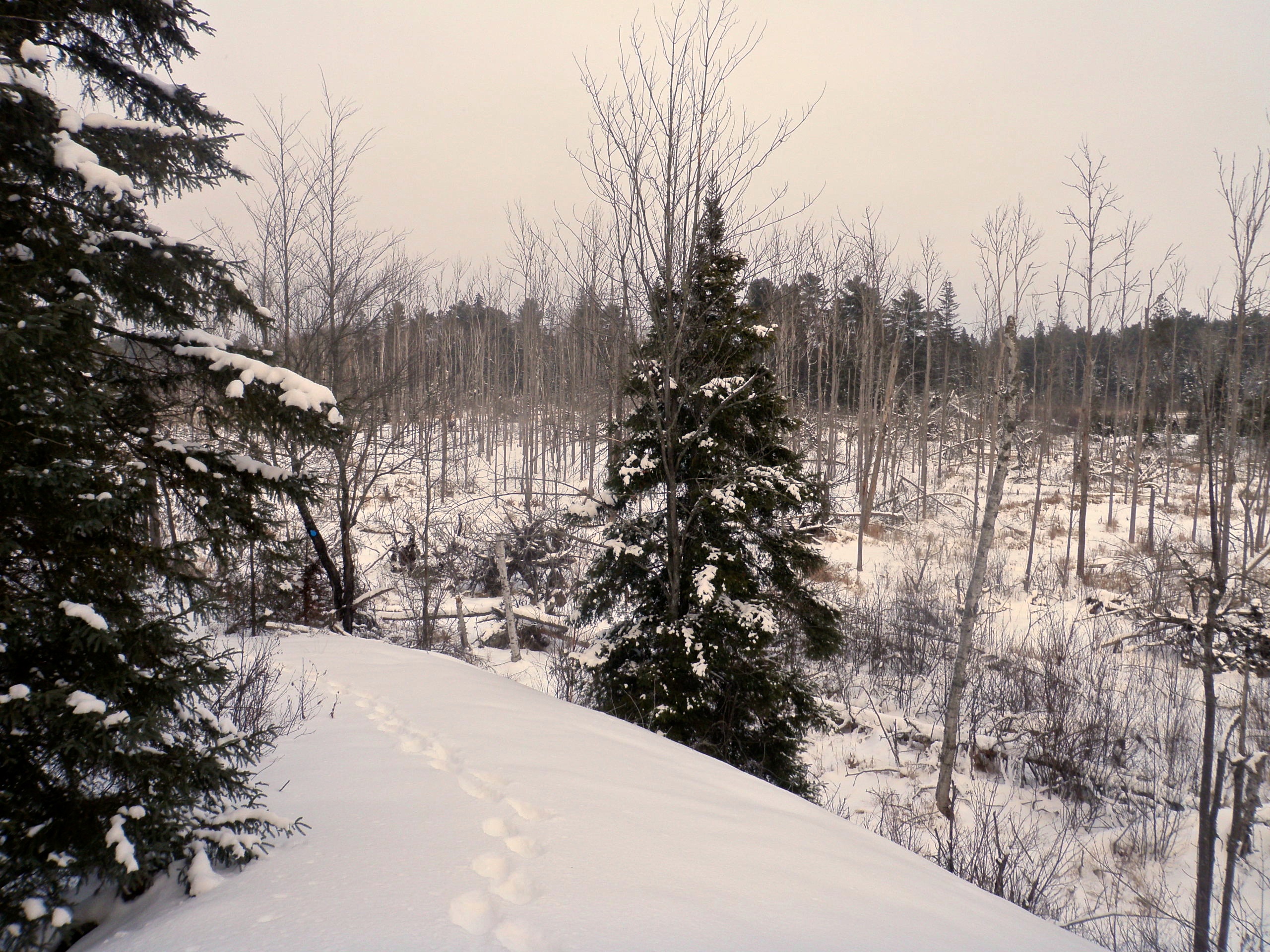
Atakas Ridge
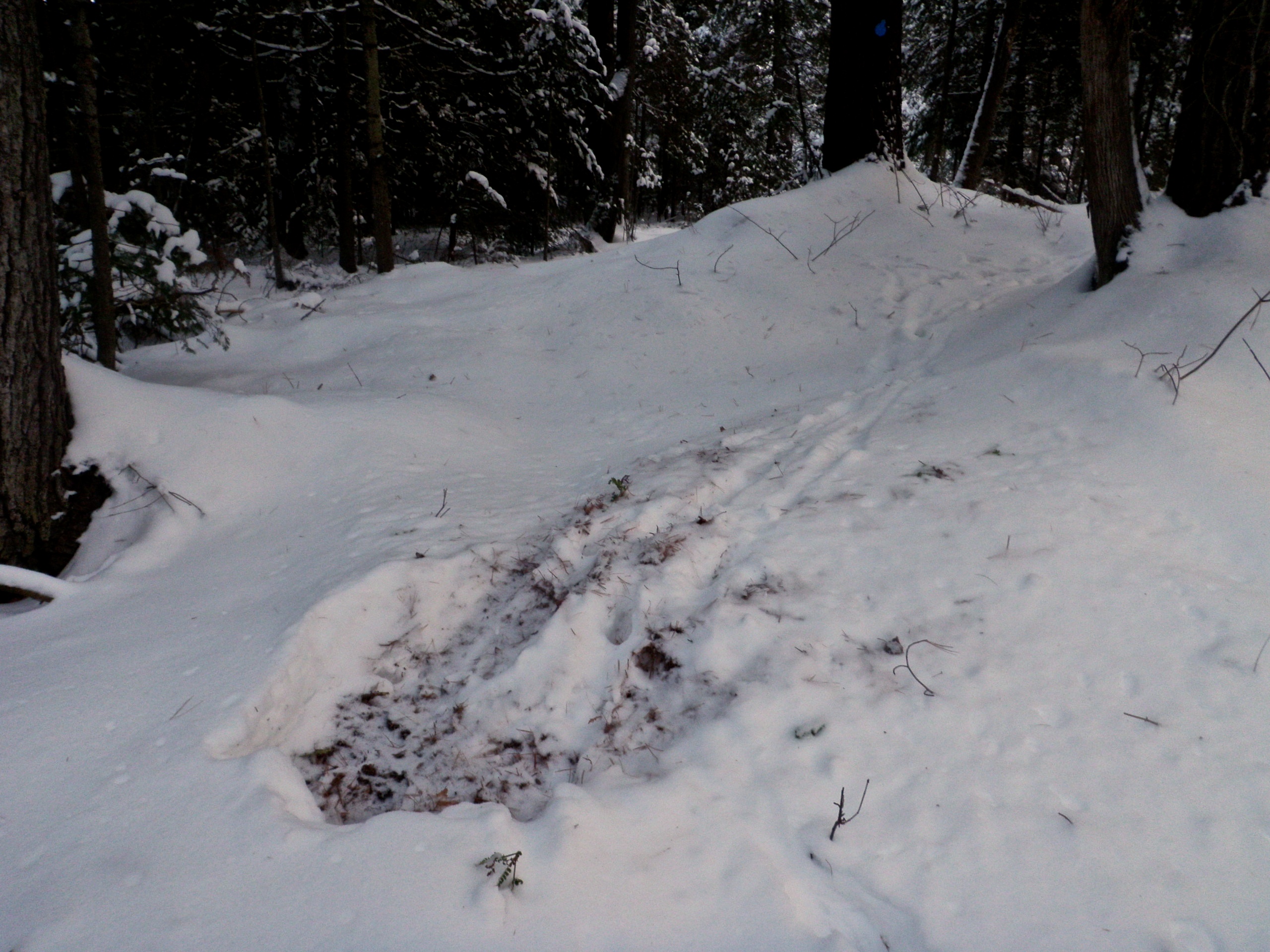
Deer Bed
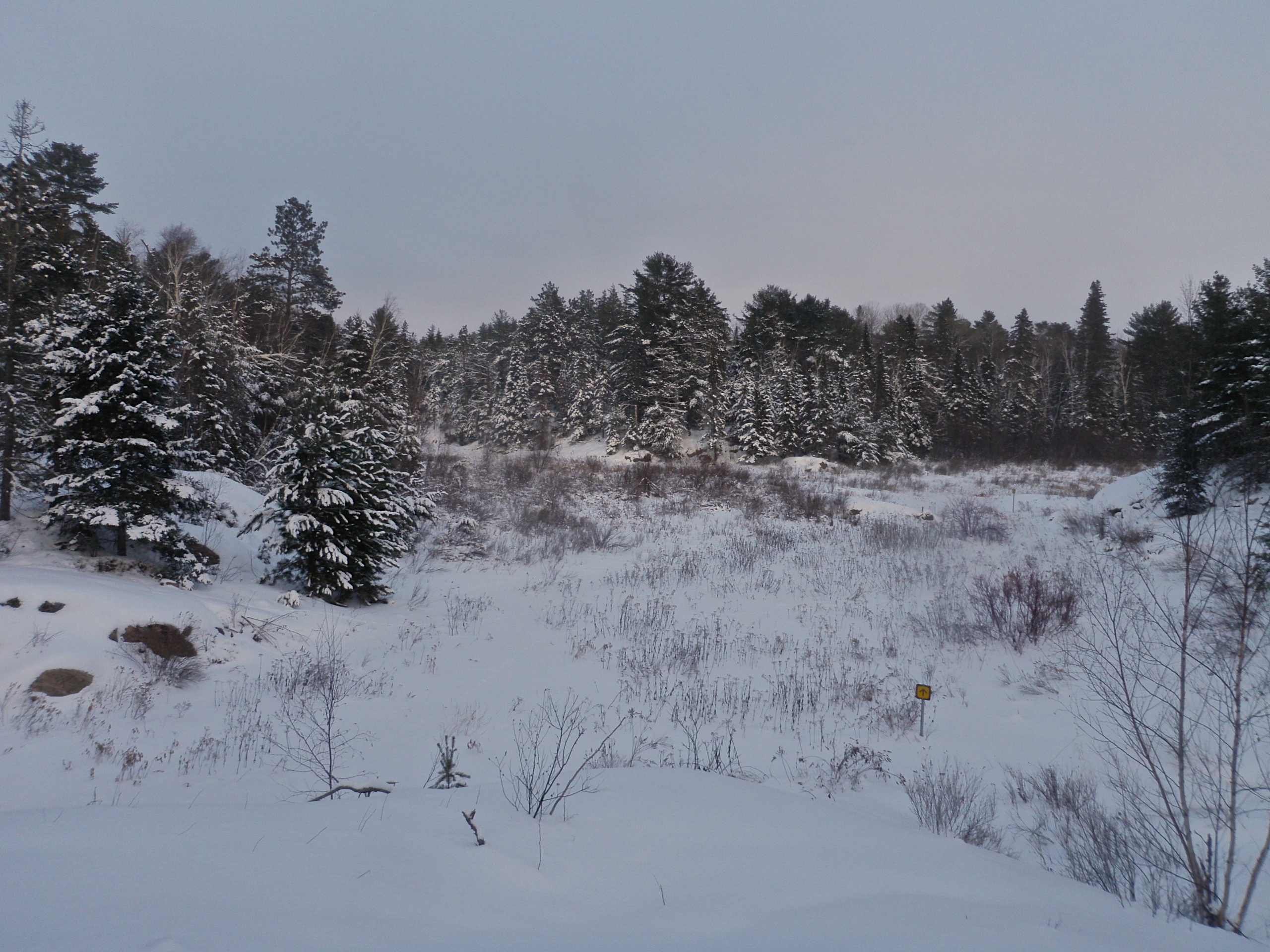
More Bog
Hagar Ontario
Hagar Ontario
Road Trip Rest Stop
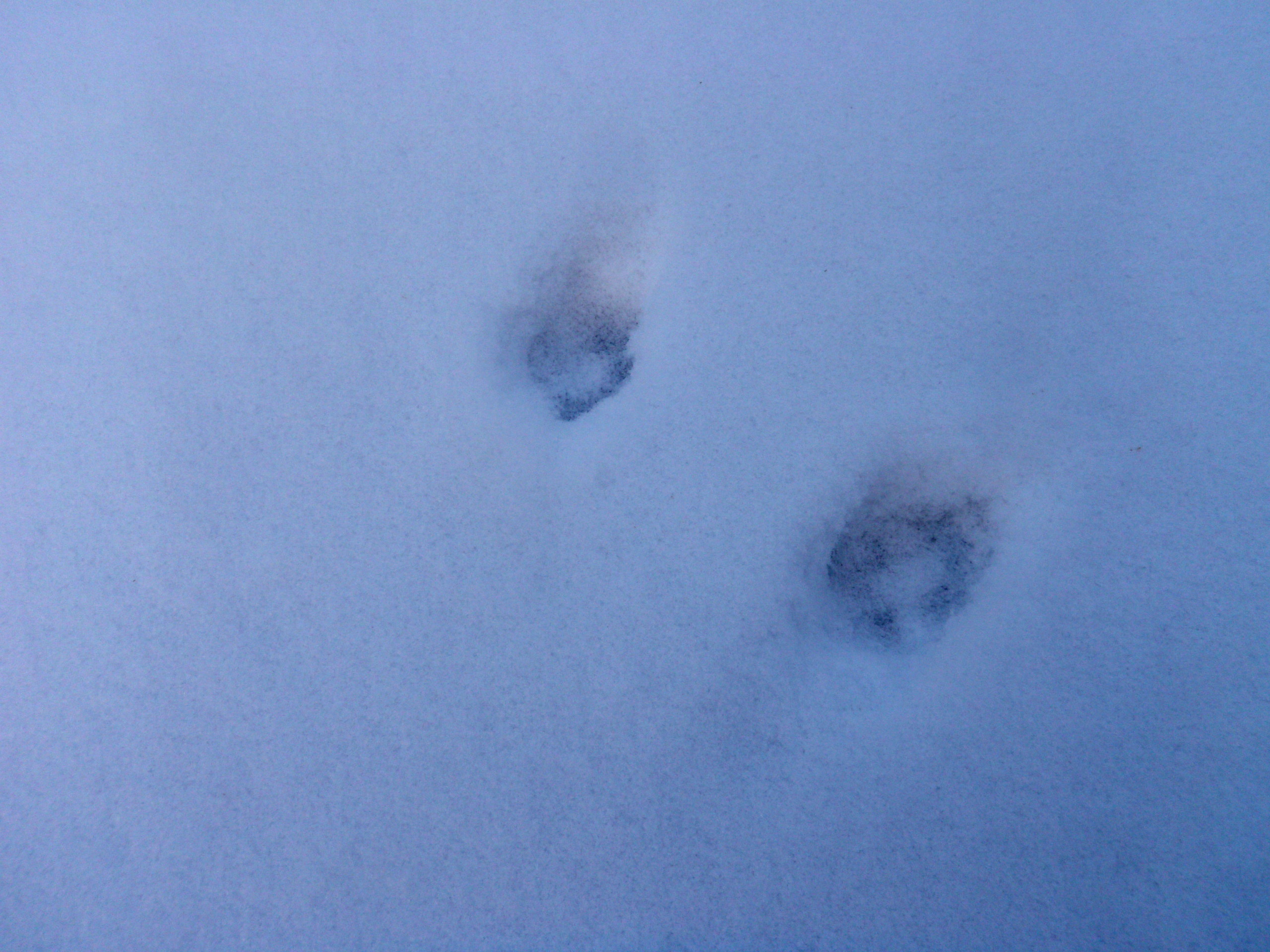
Canine Tracks
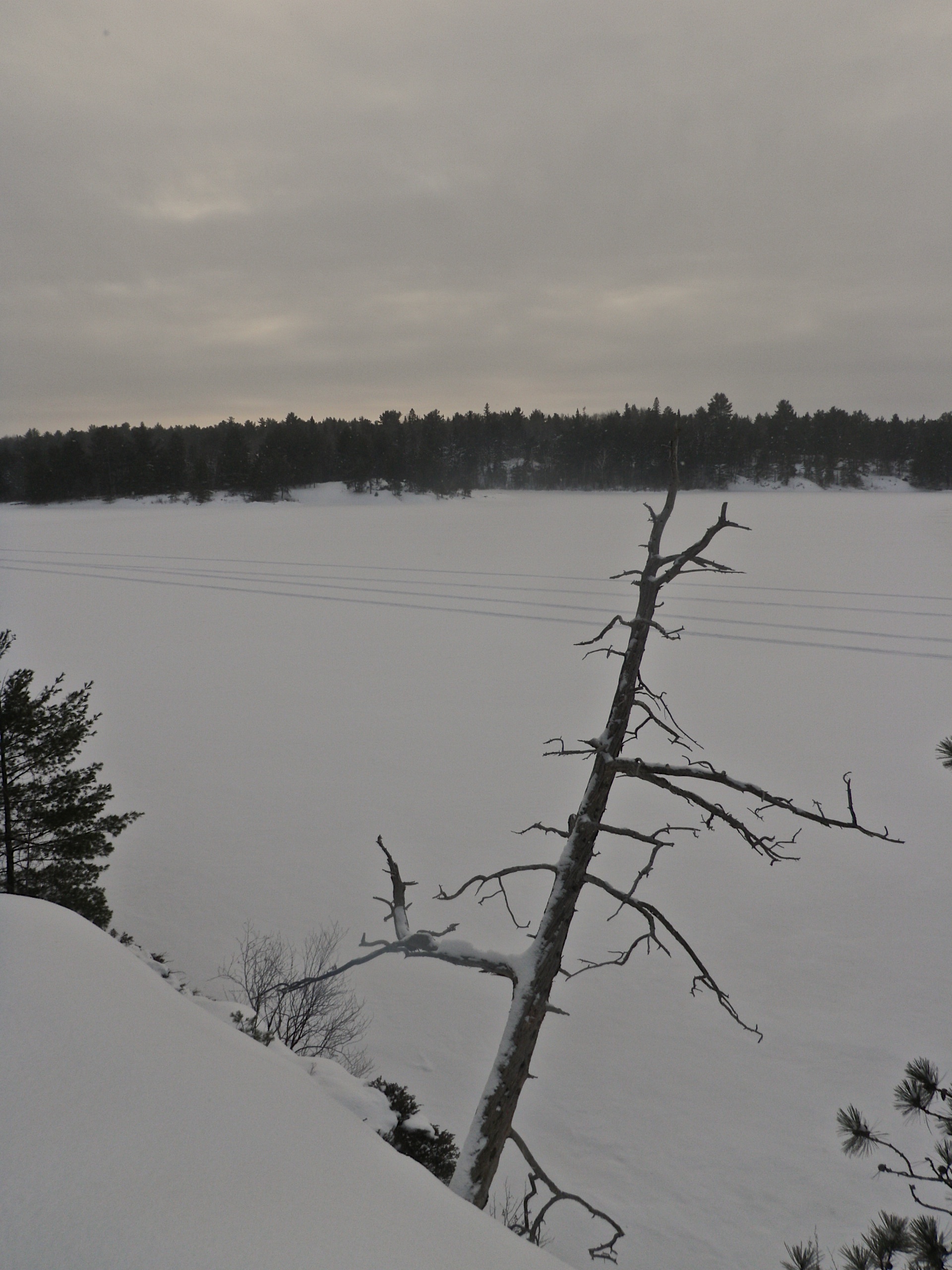
Leaning Tree
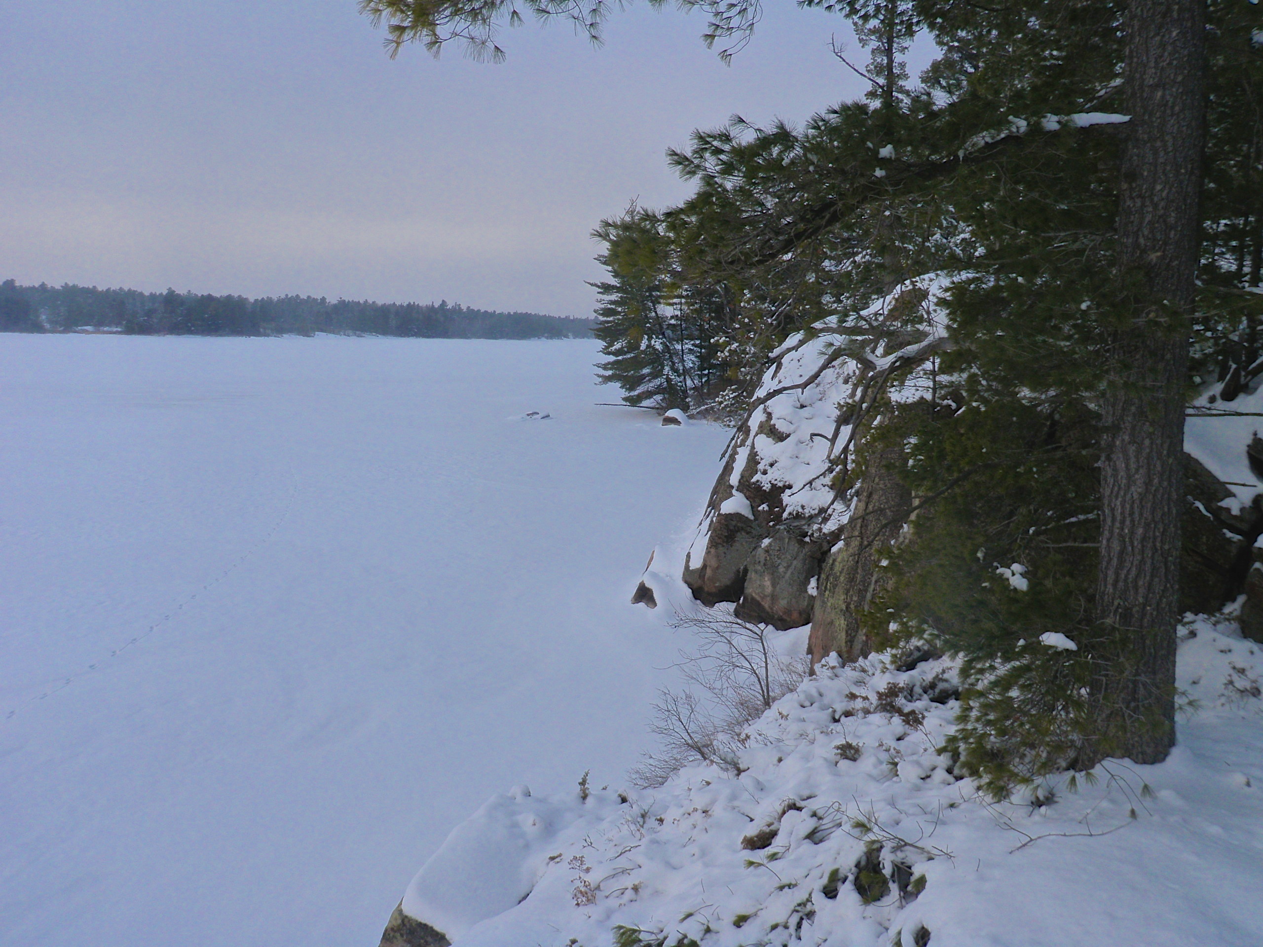
Another Coastal Trail Lookout
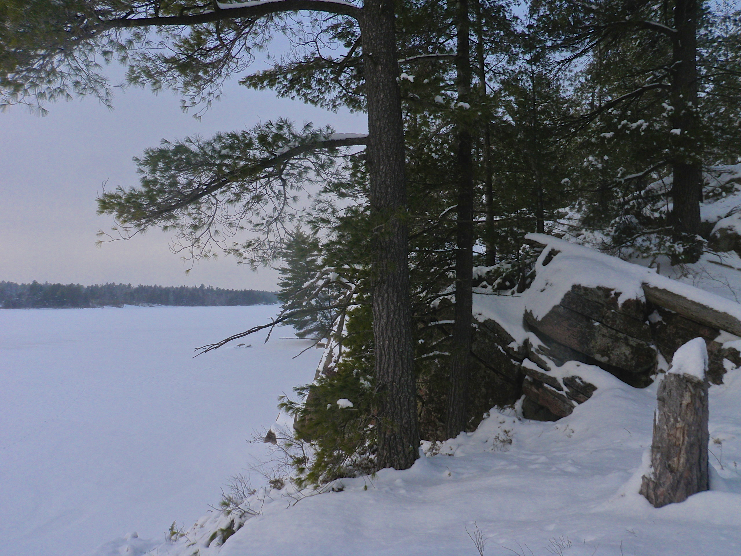
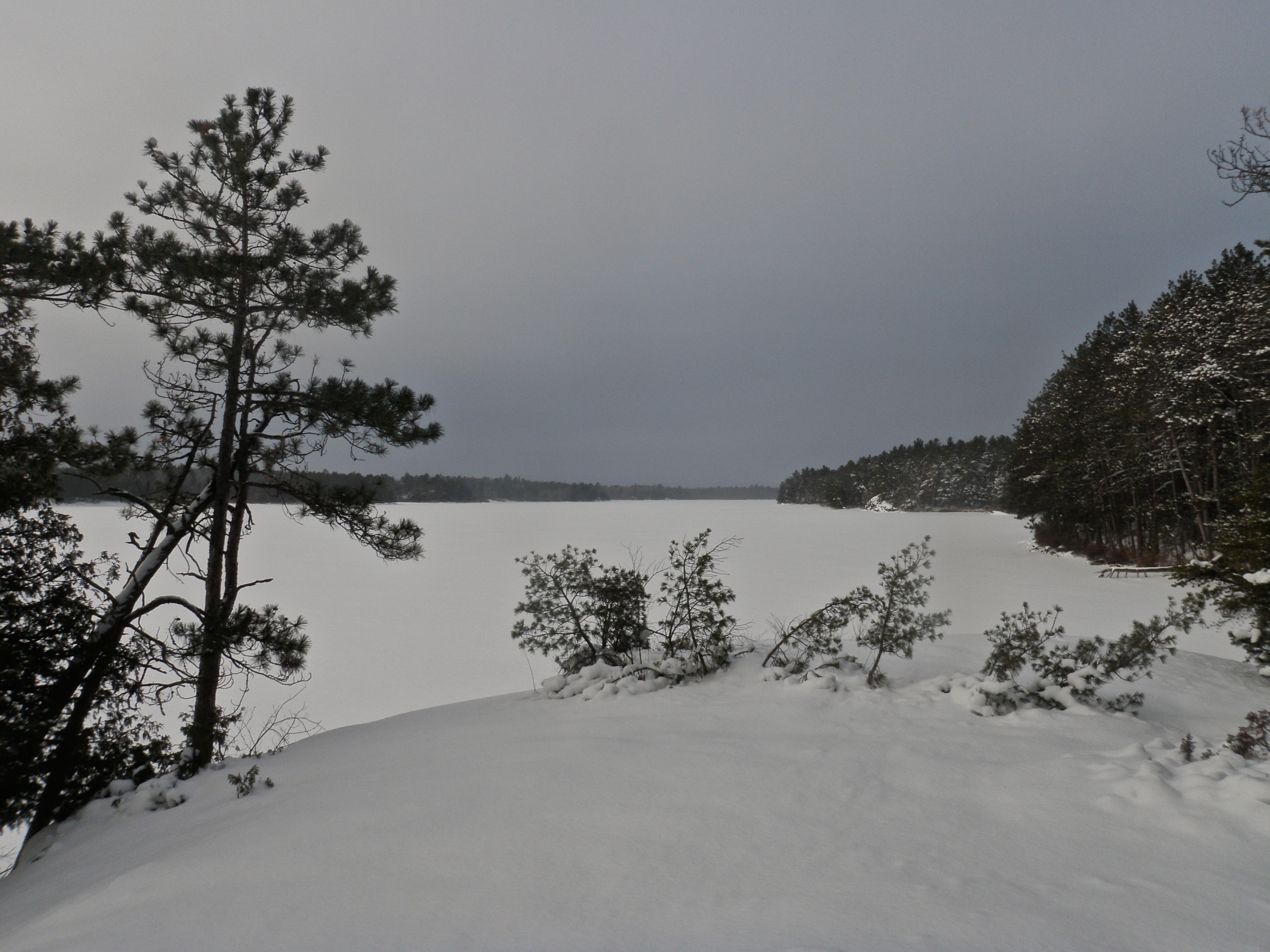
Coastal Trail Lookout
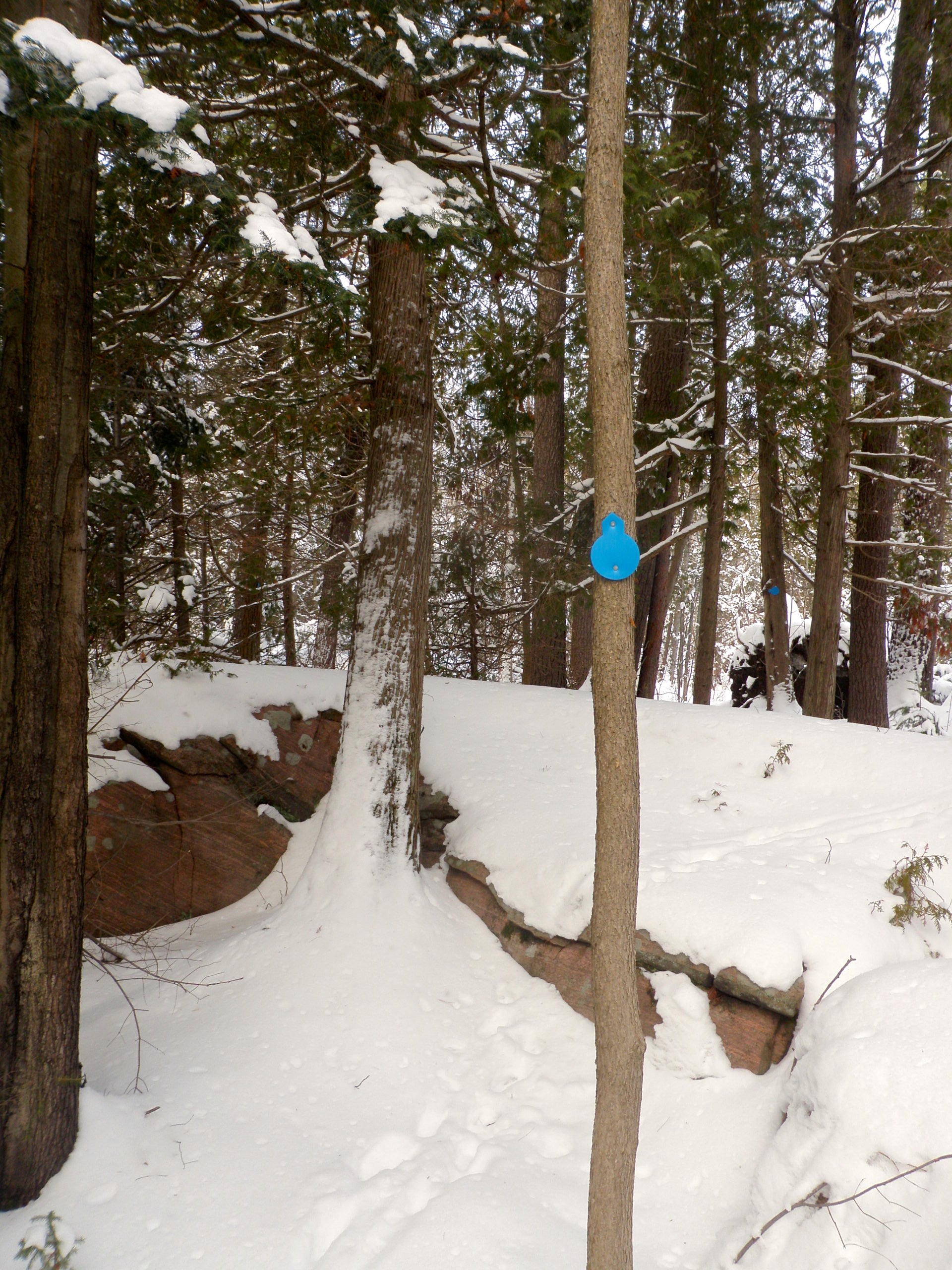
Trail Marker
Lake Nipissing
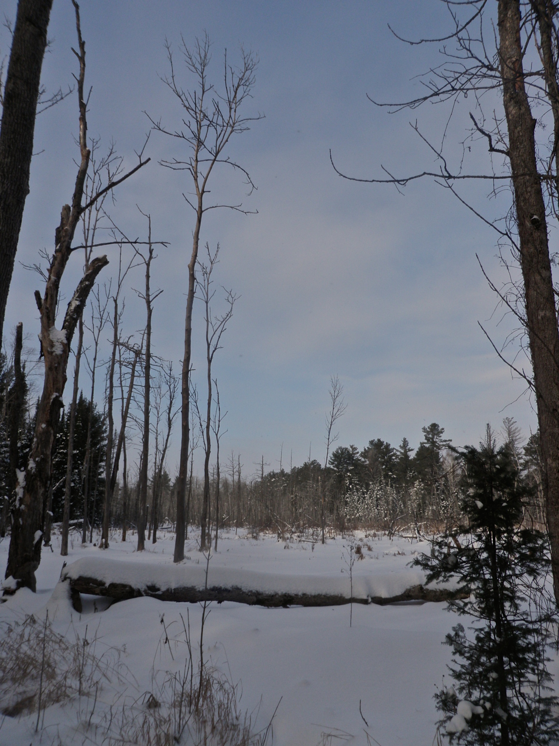
More Bog
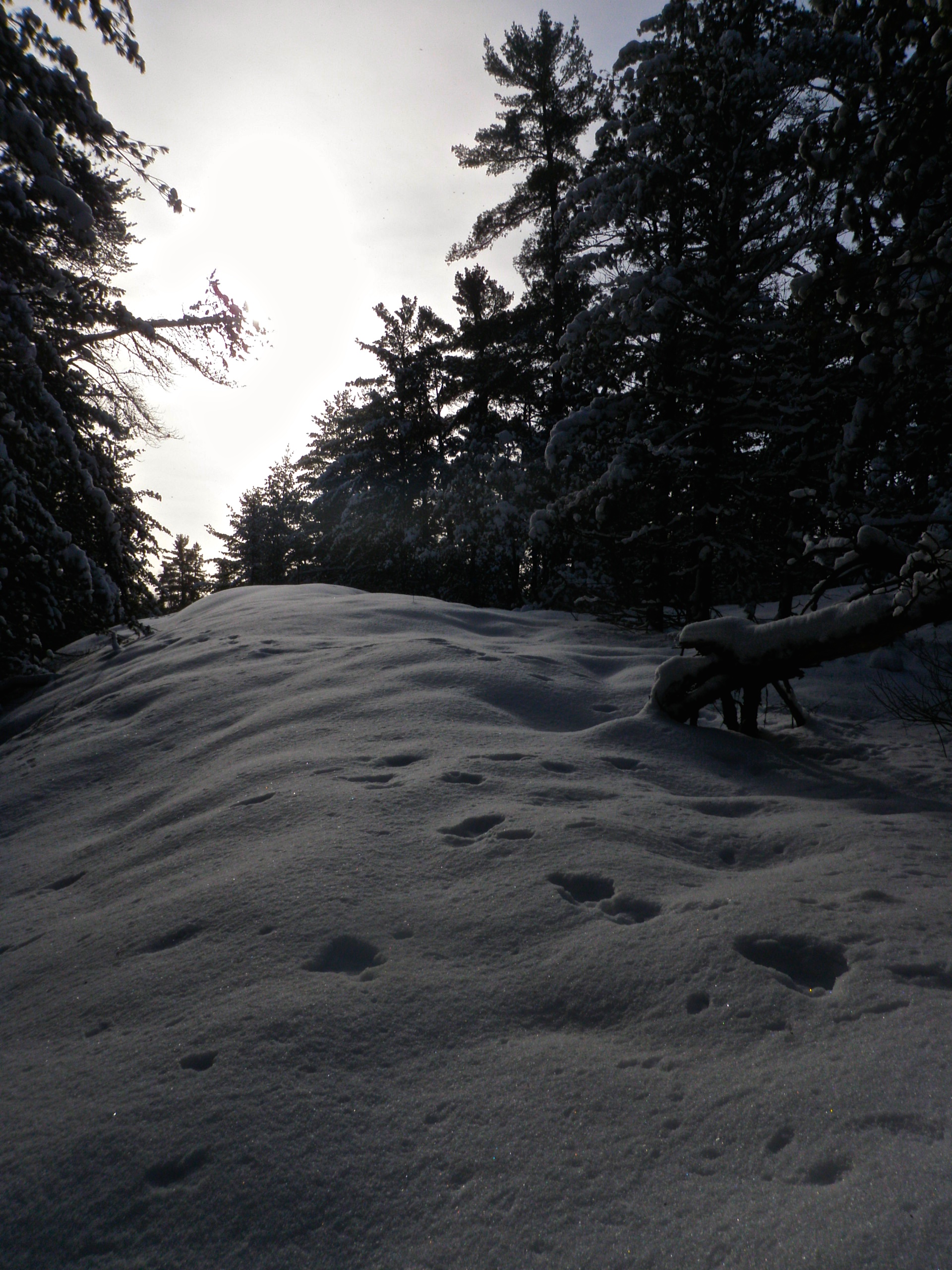
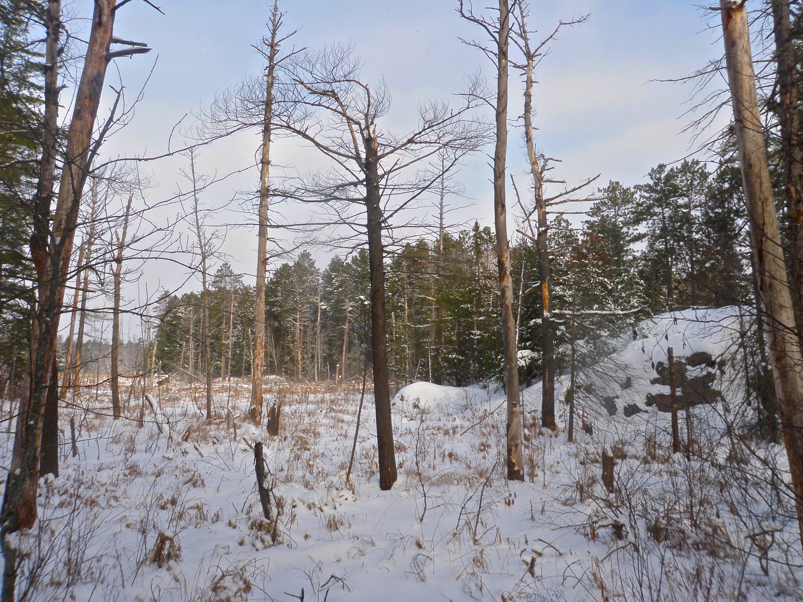
Snowy Ridge
Stick Again
Stick Sans Shadow
Shadow Stick
Snow Covered

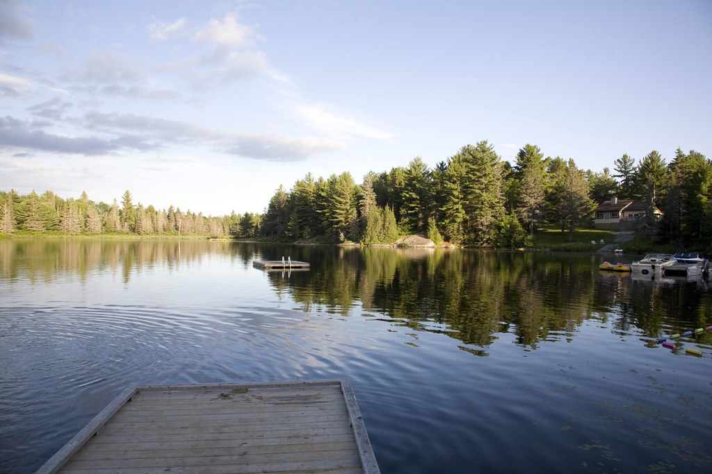
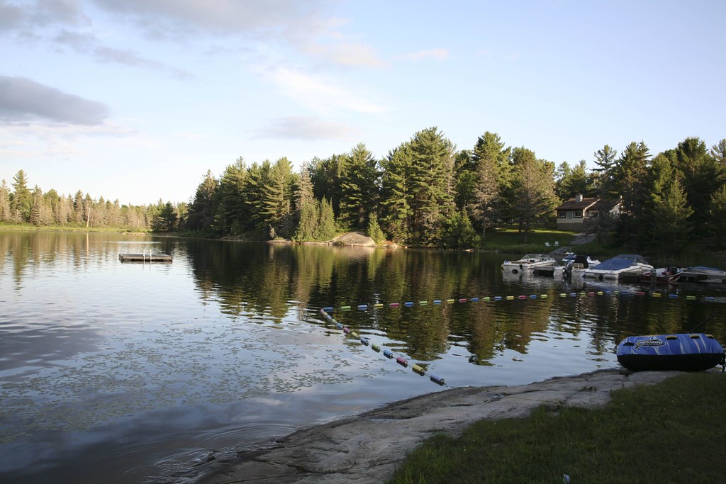
Windy day on the water....

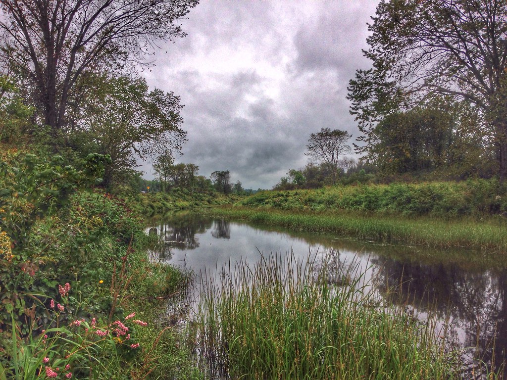
Trouvez l'erreur !

Family 2011-11.jpg

Family 2011-10.jpg
Topographic Map of St.-Charles, ON, Canada
Find elevation by address:

Places in St.-Charles, ON, Canada:
Places near St.-Charles, ON, Canada:
Casimir Rd, St.-Charles, ON P0M 2W0, Canada
ON-64, Noëlville, ON P0M 2N0, Canada
Noëlville
Lavigne
328 Trottier Rd
Green Bay Rd, Noëlville, ON P0M 2N0, Canada
ON-A, Noëlville, ON P0M 2N0, Canada
Eighteen Mile Bay
ON-64, French River, ON P0M, Canada
French River
French River
Dry Pine Bay
Trans-Canada Hwy, Killarney, ON P0M, Canada
Hartley Bay Rd, Killarney, ON P0M, Canada
Hartley Bay Rd, Killarney, ON P0M, Canada
Trans-Canada Hwy, Killarney, ON P0G, Canada
Parry Sound, Unorganized, Centre Part
P0h 1y0
Trans-Canada Hwy, Parry Sound, Unorganized, Centre Part, ON P0G, Canada
767 Moxam Landing Rd
Recent Searches:
- Elevation of Corso Fratelli Cairoli, 35, Macerata MC, Italy
- Elevation of Tallevast Rd, Sarasota, FL, USA
- Elevation of 4th St E, Sonoma, CA, USA
- Elevation of Black Hollow Rd, Pennsdale, PA, USA
- Elevation of Oakland Ave, Williamsport, PA, USA
- Elevation of Pedrógão Grande, Portugal
- Elevation of Klee Dr, Martinsburg, WV, USA
- Elevation of Via Roma, Pieranica CR, Italy
- Elevation of Tavkvetili Mountain, Georgia
- Elevation of Hartfords Bluff Cir, Mt Pleasant, SC, USA