Elevation map of Srikakulam, Andhra Pradesh, India
Location: India > Andhra Pradesh >
Longitude: 84.0167423
Latitude: 18.4285005
Elevation: 17m / 56feet
Barometric Pressure: 101KPa
Elevation Map:
Satellite Map:
Related Photos:

Evening Dip

It's 5am and I've already traveled more than 130kms. There is nothing like traveling... #yamaha #travel #longride #twostates #earlymorning #bliss #freesoul
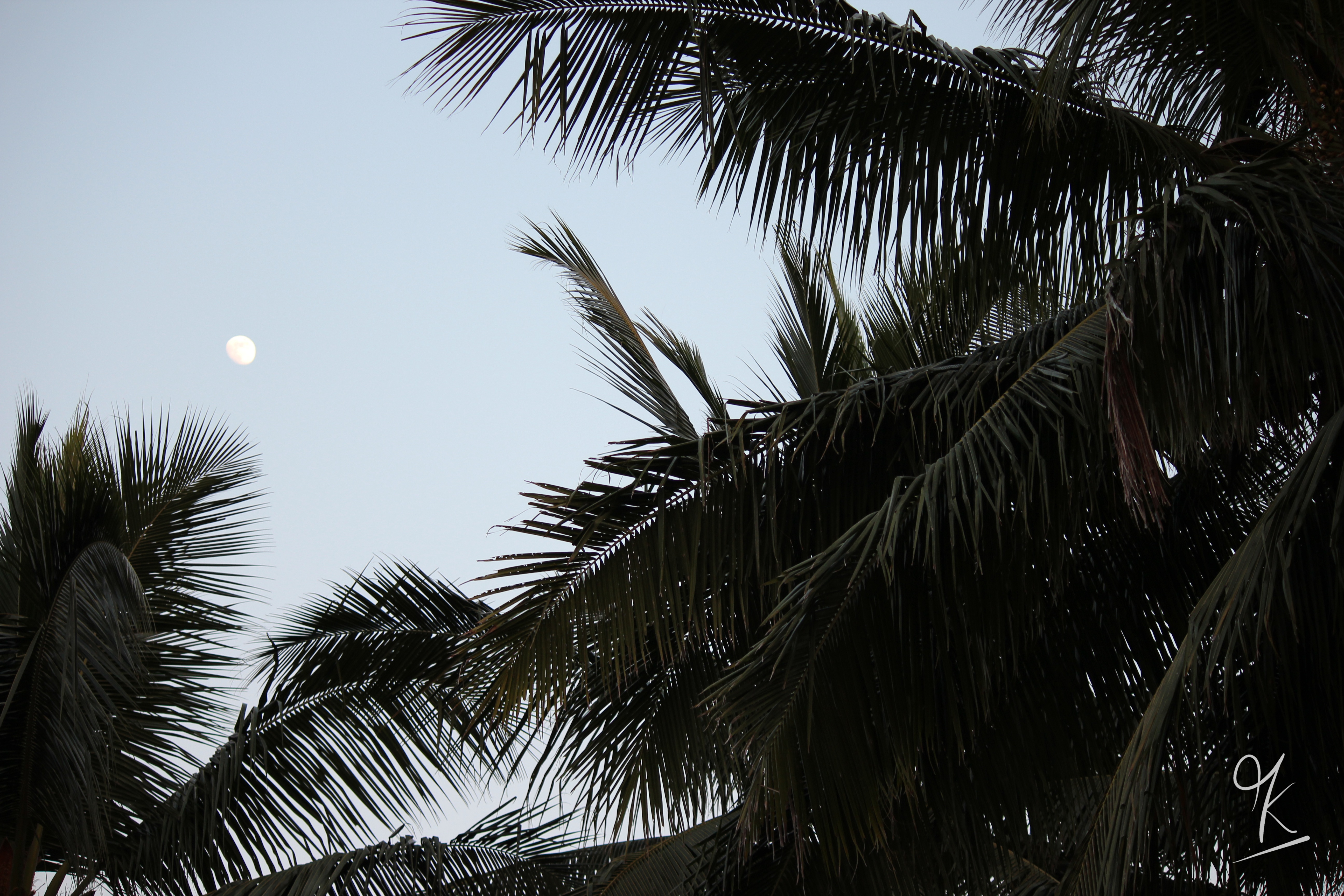
The Moon
Topographic Map of Srikakulam, Andhra Pradesh, India
Find elevation by address:

Places in Srikakulam, Andhra Pradesh, India:
Places near Srikakulam, Andhra Pradesh, India:
Srikakulam
Chintalapeta
Razam
Cheepurupalli
Garividi
Jiranga Buddhists Temple
Jiranga
Mahendragiri
Burusunda
Vizianagaram
Parvathipuram
R. Udayagiri
Gajapati
Makkuva
Salur
Pachipenta
Mohana
Panchpatmali
Maligudabadaneraka
Kakiriguma
Recent Searches:
- Elevation of Corso Fratelli Cairoli, 35, Macerata MC, Italy
- Elevation of Tallevast Rd, Sarasota, FL, USA
- Elevation of 4th St E, Sonoma, CA, USA
- Elevation of Black Hollow Rd, Pennsdale, PA, USA
- Elevation of Oakland Ave, Williamsport, PA, USA
- Elevation of Pedrógão Grande, Portugal
- Elevation of Klee Dr, Martinsburg, WV, USA
- Elevation of Via Roma, Pieranica CR, Italy
- Elevation of Tavkvetili Mountain, Georgia
- Elevation of Hartfords Bluff Cir, Mt Pleasant, SC, USA