Elevation of Pachipenta, Andhra Pradesh, India
Location: India > Andhra Pradesh > Vizianagaram >
Longitude: 83.1124329
Latitude: 18.4785757
Elevation: 211m / 692feet
Barometric Pressure: 99KPa
Elevation Map:
Satellite Map:
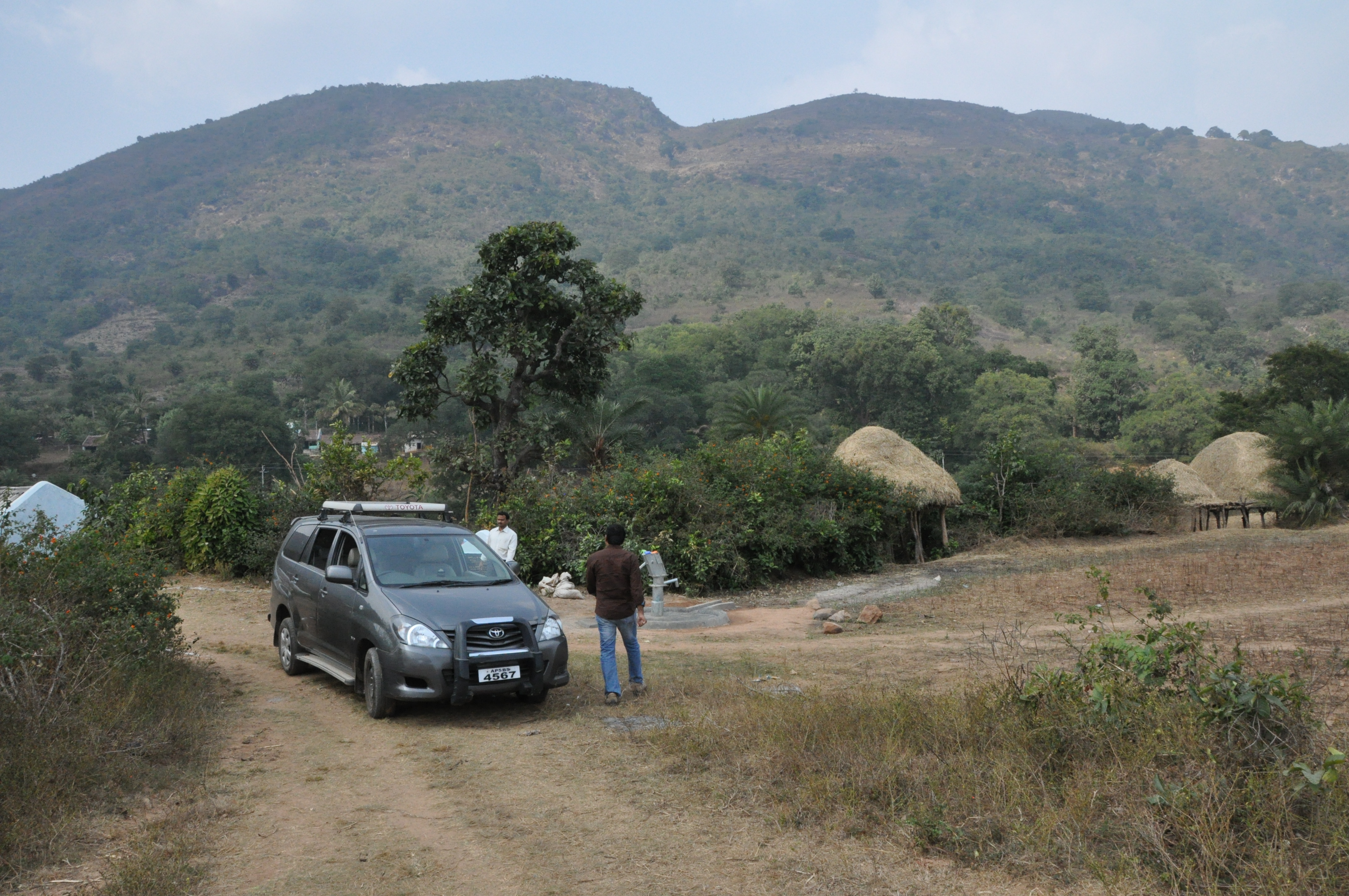
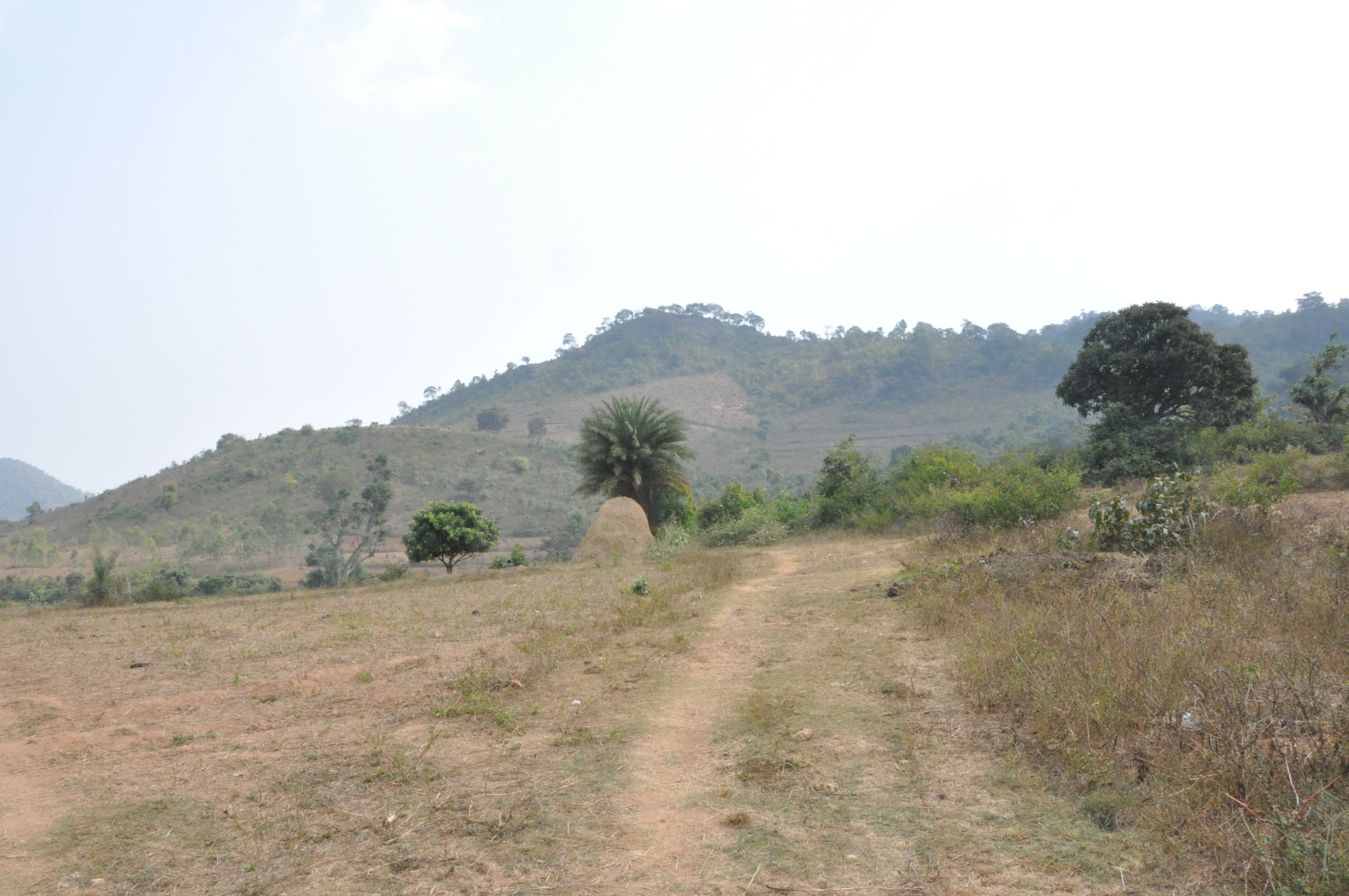
Related Photos:
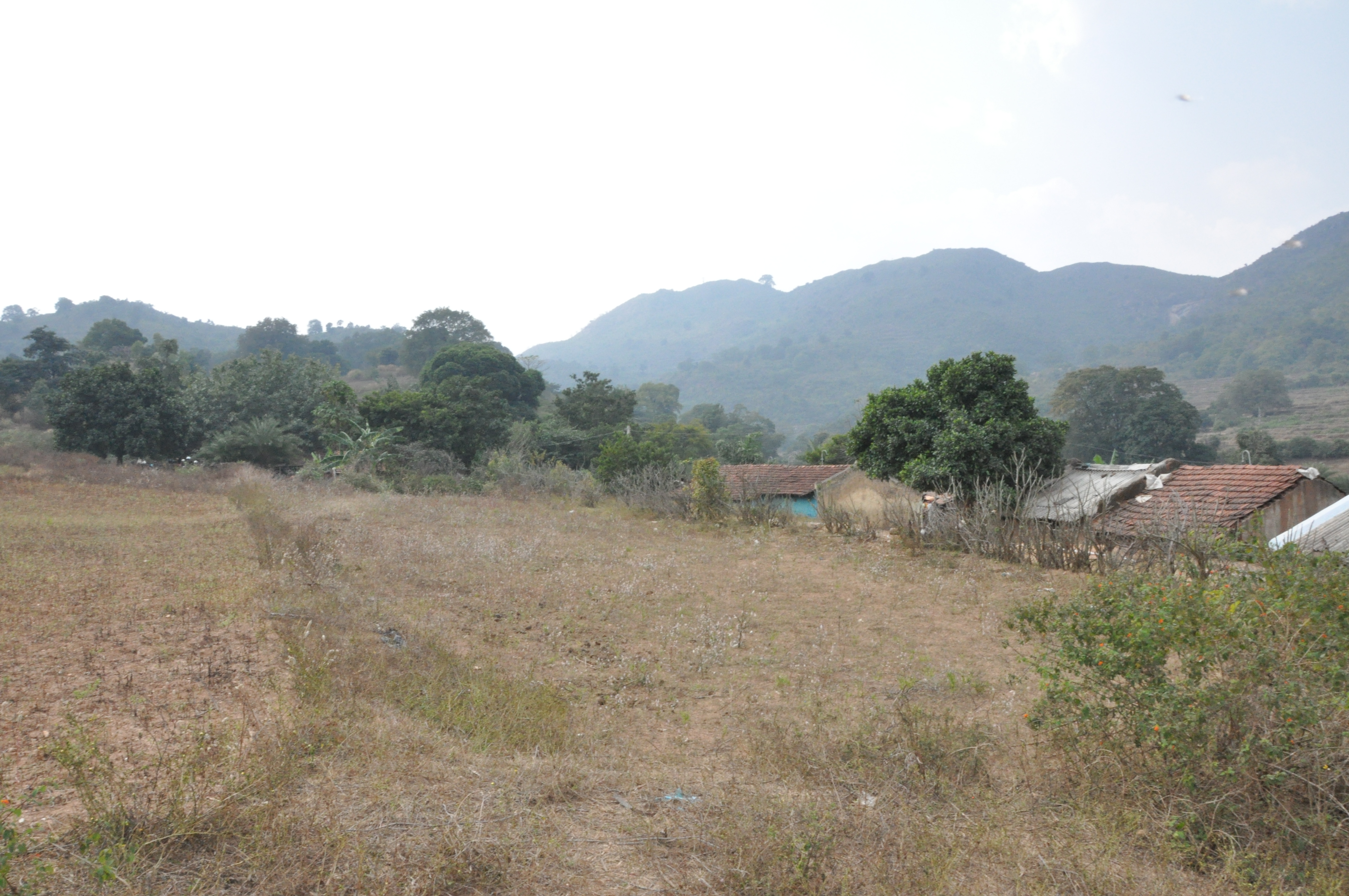
DSC_0165
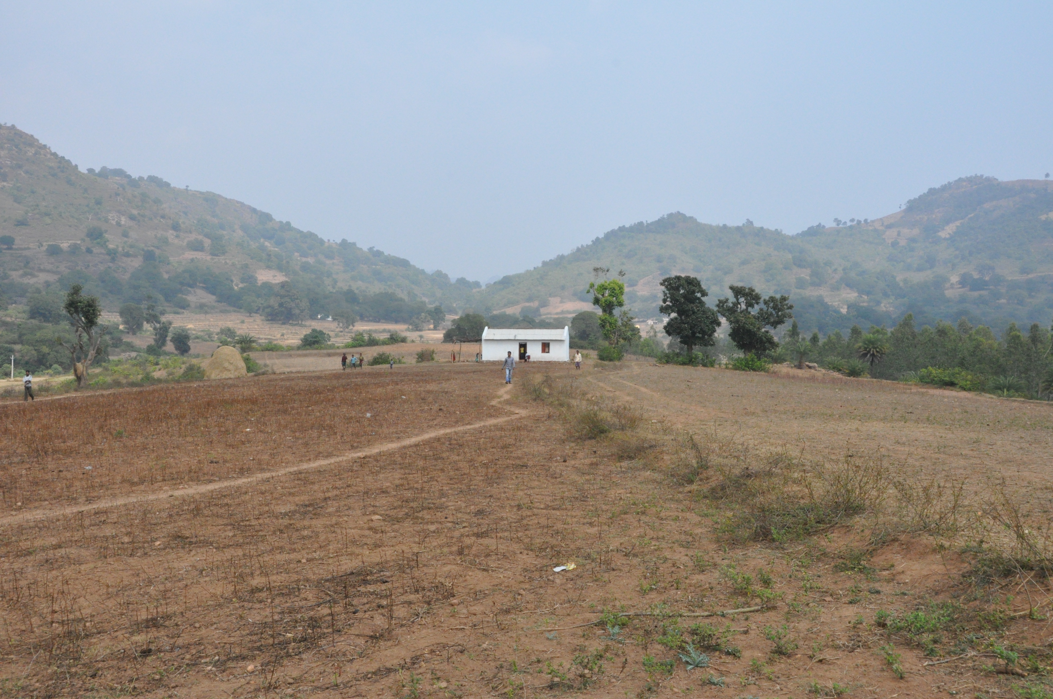
DSC_0162
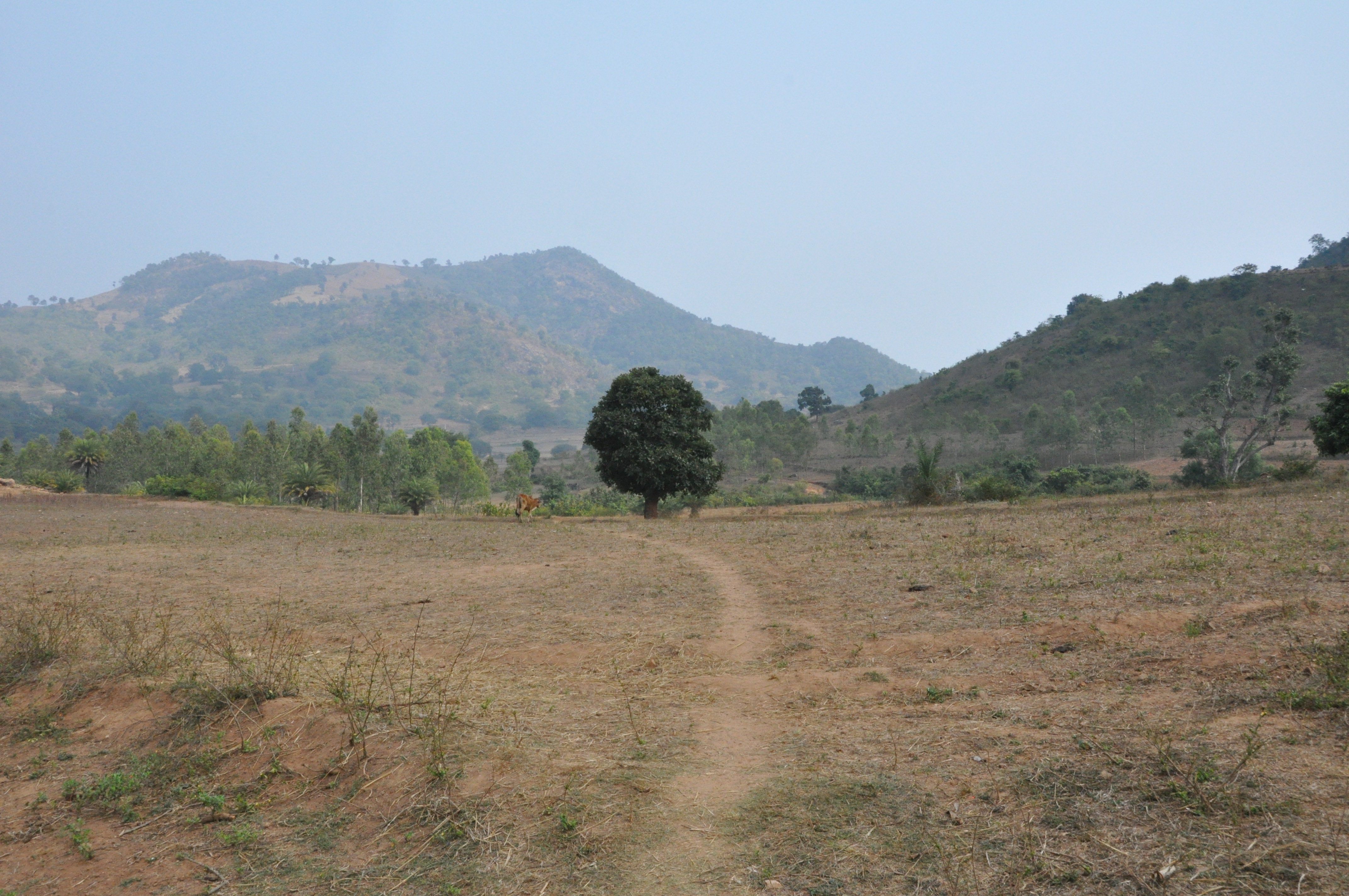
DSC_0159
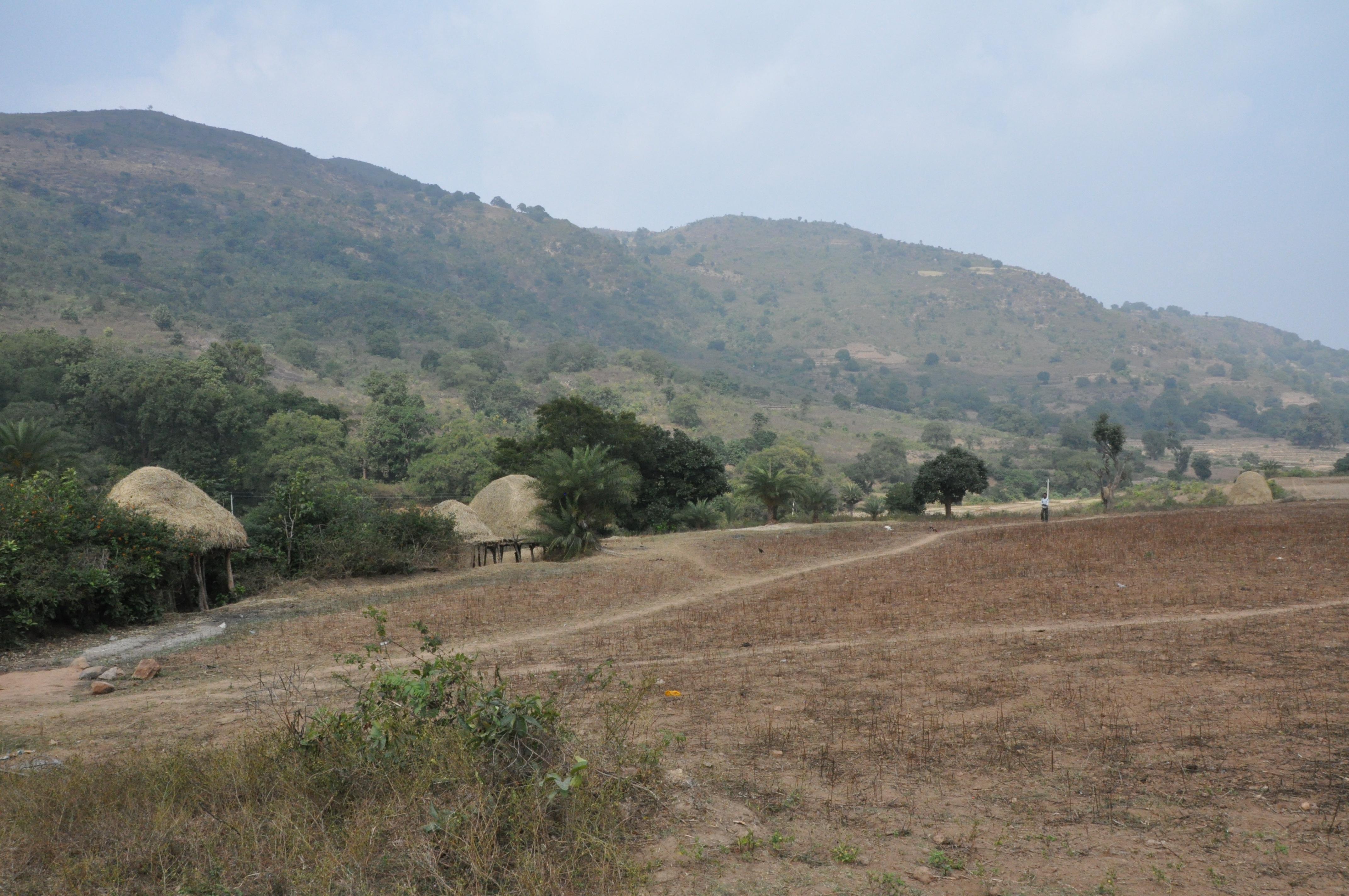
DSC_0163
DSC_0164
DSC_0166

Rain water streams....
Topographic Map of Pachipenta, Andhra Pradesh, India
Find elevation by address:

Places near Pachipenta, Andhra Pradesh, India:
Salur
Vizianagaram
Makkuva
Panchpatmali
Maligudabadaneraka
Parvathipuram
Kakiriguma
Garividi
Cheepurupalli
Tunupar
Razam
Chintalapeta
Srikakulam
Srikakulam
Jiranga Buddhists Temple
Jiranga
R. Udayagiri
Gajapati
Mahendragiri
Burusunda
Recent Searches:
- Elevation of Corso Fratelli Cairoli, 35, Macerata MC, Italy
- Elevation of Tallevast Rd, Sarasota, FL, USA
- Elevation of 4th St E, Sonoma, CA, USA
- Elevation of Black Hollow Rd, Pennsdale, PA, USA
- Elevation of Oakland Ave, Williamsport, PA, USA
- Elevation of Pedrógão Grande, Portugal
- Elevation of Klee Dr, Martinsburg, WV, USA
- Elevation of Via Roma, Pieranica CR, Italy
- Elevation of Tavkvetili Mountain, Georgia
- Elevation of Hartfords Bluff Cir, Mt Pleasant, SC, USA