Elevation map of Squamish-Lillooet, BC, Canada
Location: Canada > British Columbia >
Longitude: -122.69785
Latitude: 50.5666362
Elevation: 1584m / 5197feet
Barometric Pressure: 84KPa
Elevation Map:
Satellite Map:
Related Photos:
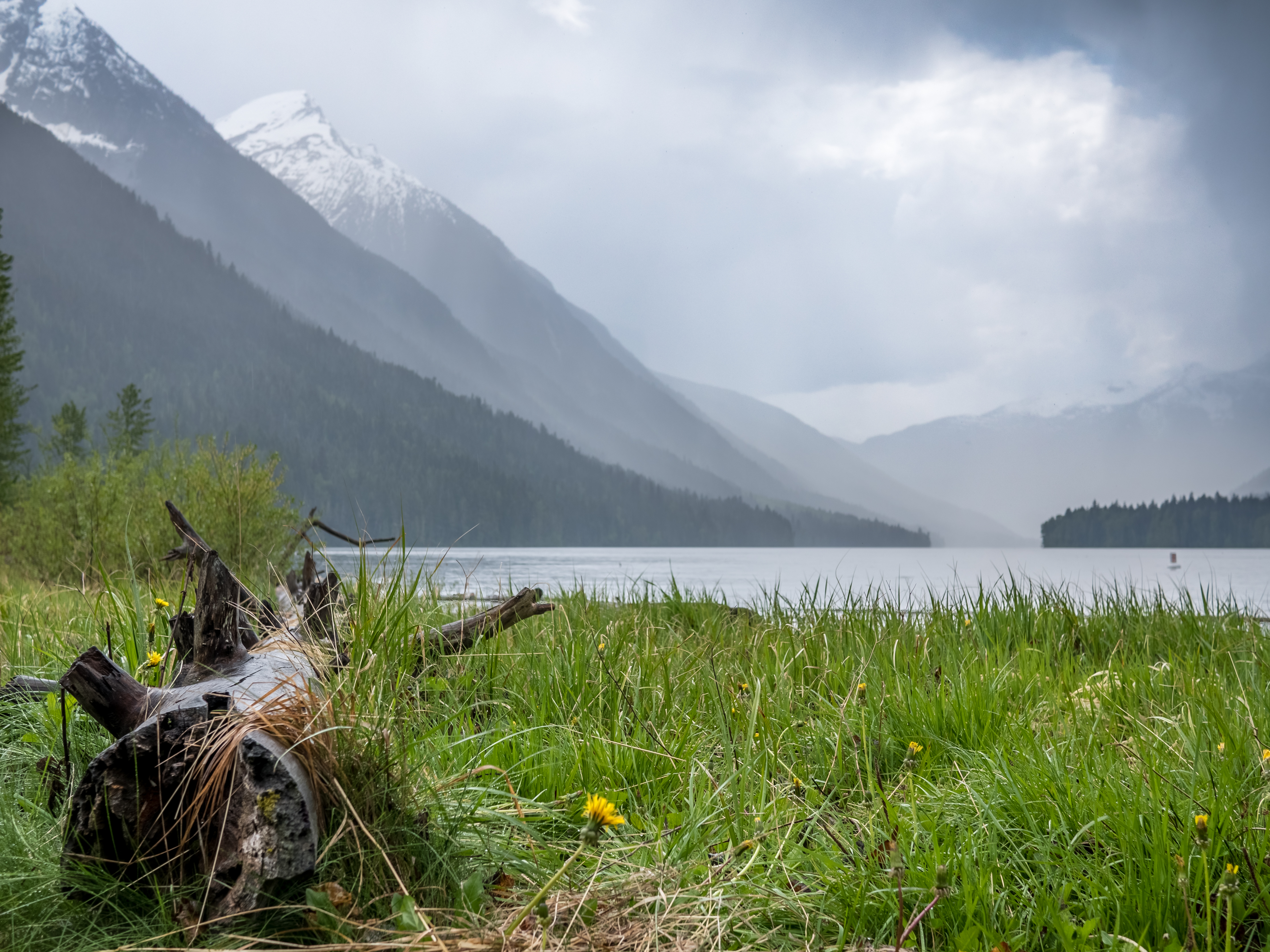
Rain Coming In

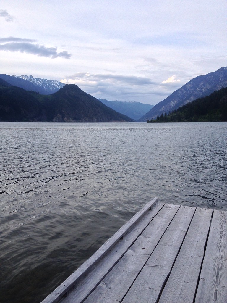
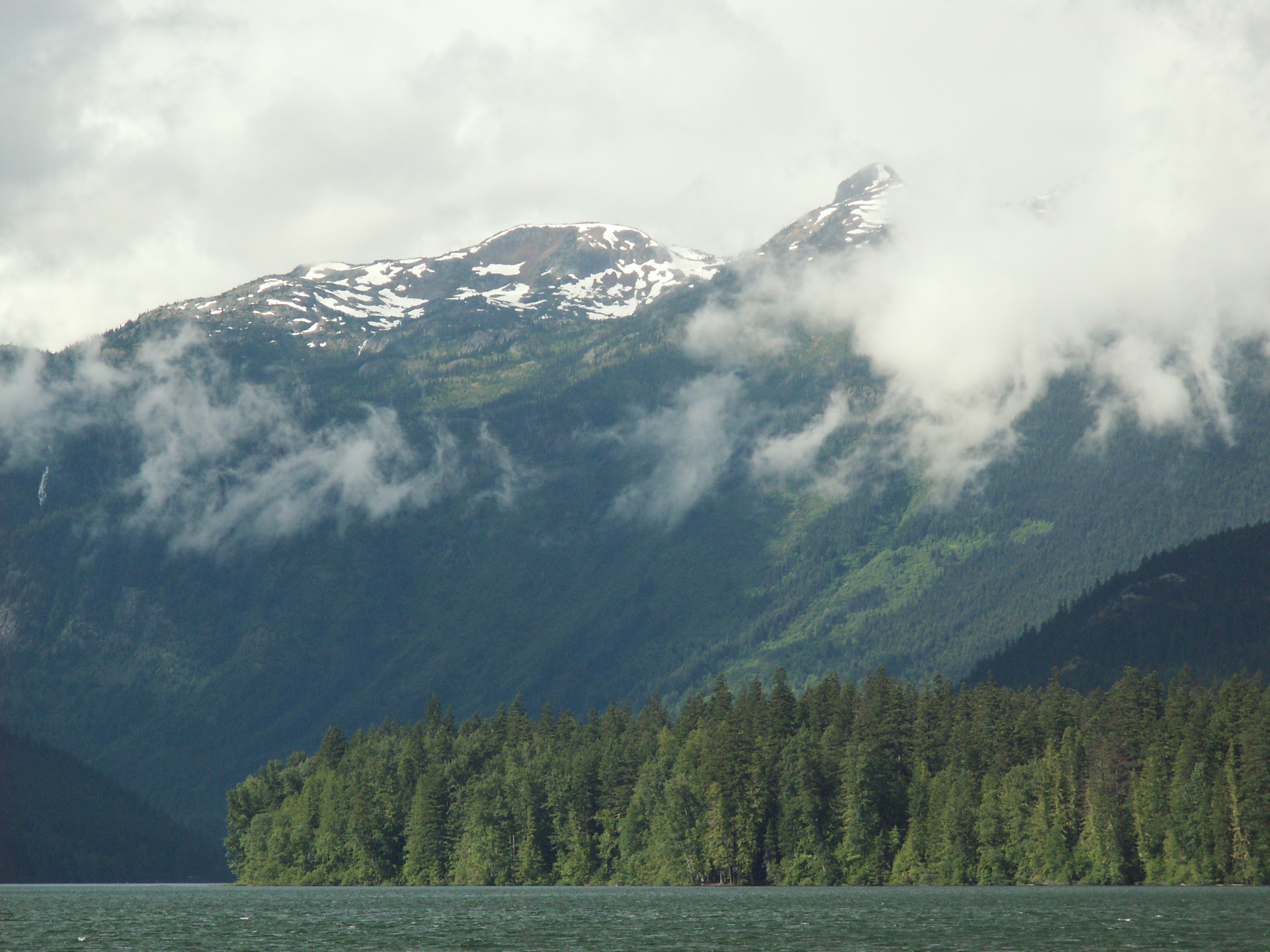
Birkenhead Lake View
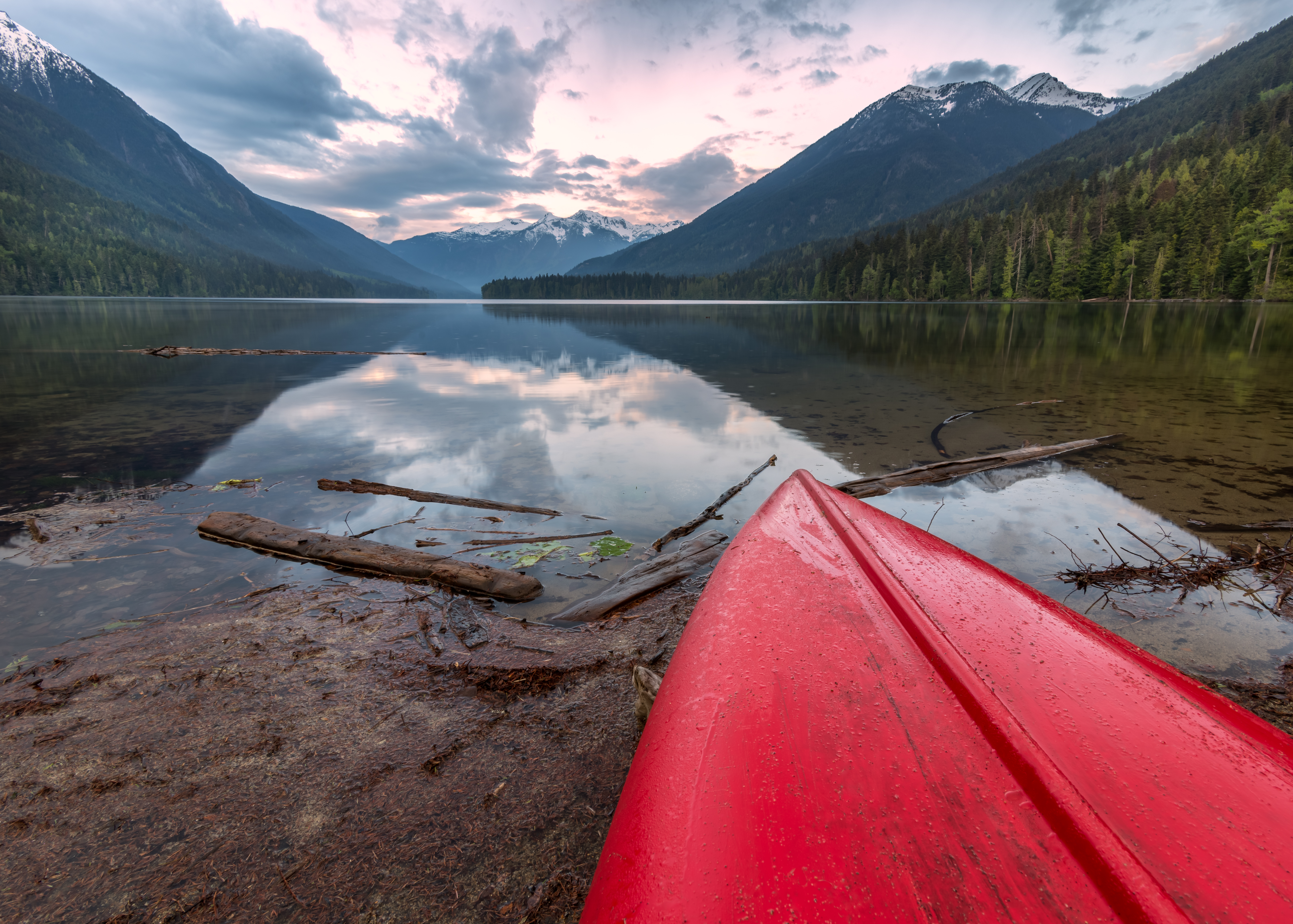
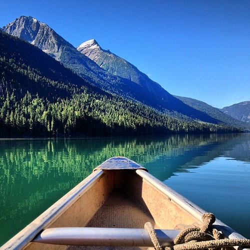
Canoe Top

"Meal With a View" Least Chipmunk Harvesting a Twinberry at Birkenhead Lake Provincial Park BC 28Jun2012
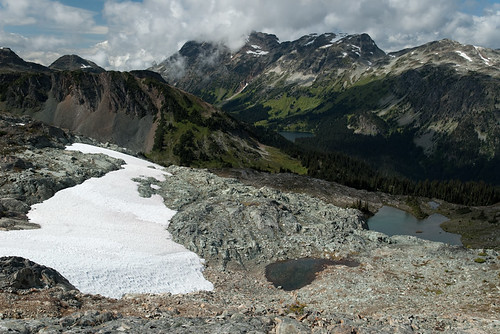
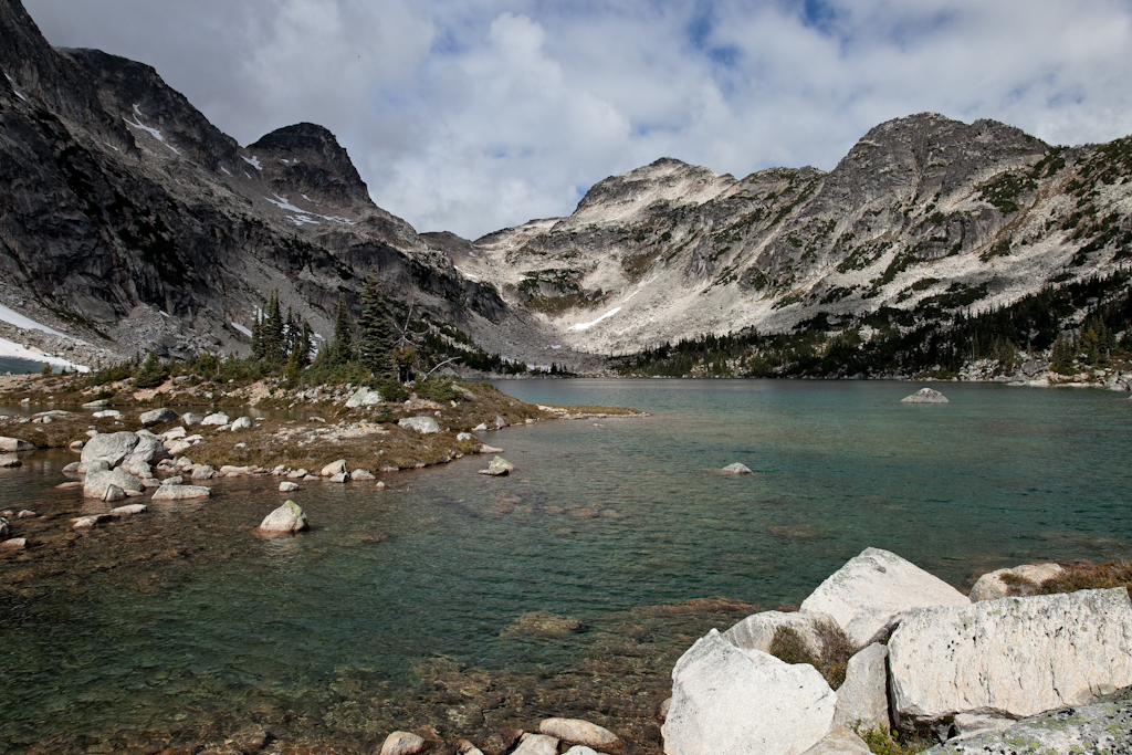
View back to Tenquille Lake

Barbour's Valley
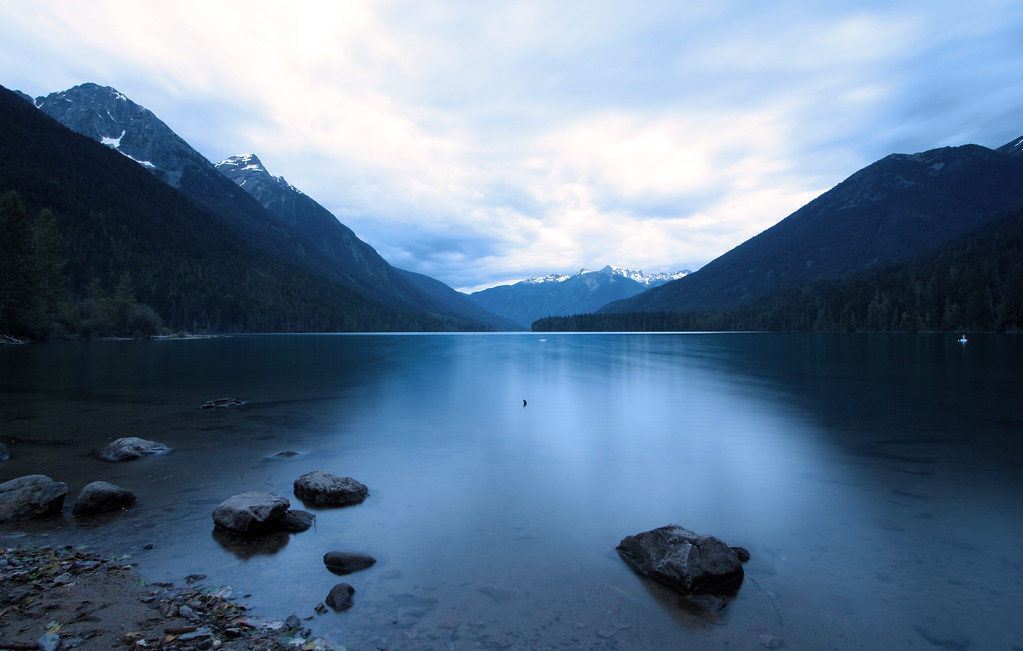
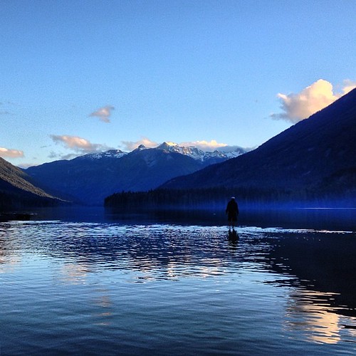
birkenhead lake, late evening

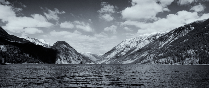
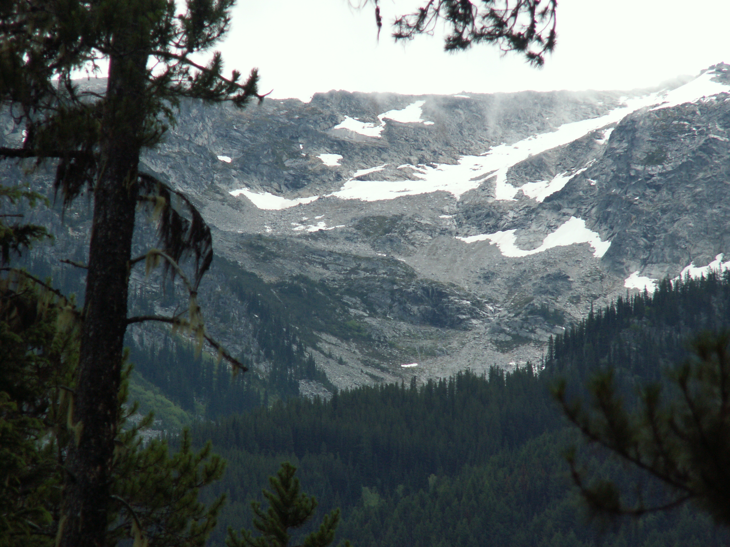
Avalanche on S face of Mt. Shadowfax

Anderson Lake

Birkenhead Lake
#birkenhead #lake #canoe day7
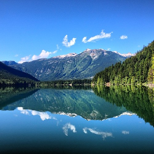
Another peaceful scene from #birkenhead #lake
Walking on water! The beach at #birkenhead #lake #campground you could walk out on a sandy shelf before it dropped off drastically to the deep.
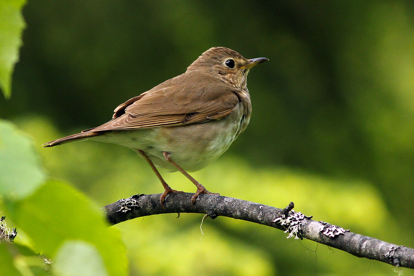
"Musical Woodland Ghost" Swainson's Thrush Perched on a Twig at Birkenhead Lake Provincial Park BC 28Jun2012
Lake Anderson
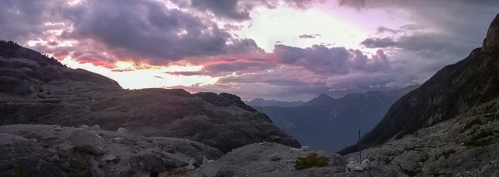
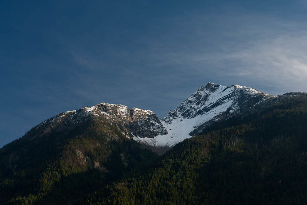
Place Glacier, Aug 2014
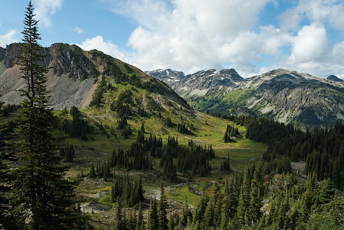
Barbour Valley

Goat Road to Nowhere
Anderson Lake
20050707-010
20050706-007

andresen lake from d'arcy
Upper Fowl Lake
Gates Lake BC

20130608_195-Edit
Topographic Map of Squamish-Lillooet, BC, Canada
Find elevation by address:

Places in Squamish-Lillooet, BC, Canada:
Squamish-lillooet C
Squamish-lillooet D
Squamish-lillooet B
Squamish-lillooet A
Lillooet
D'arcy
Mount Matier
Whistler
91 Scotchman Rd, Mile House, BC V0K 2E3, Canada
Squamish
Shalalth
Places near Squamish-Lillooet, BC, Canada:
Birkenhead Lake Campground
Birkenhead Lake Estates
Birkenhead Peak
Poole Creek Road
Birken
Devine Street
1937 Sweetwater Ln
D'arcy
Ivey Lake
Green Road
Mt Currie Indian Band
Mount Currie
1517 Fraser Rd
1041 Cedar Grove Ln
Pemberton
Mount Currie Coffee Company
V0n 1b4
Joffre Lakes Provincial Park
Squamish-lillooet C
Hurley River Forest Service Road
Recent Searches:
- Elevation of Corso Fratelli Cairoli, 35, Macerata MC, Italy
- Elevation of Tallevast Rd, Sarasota, FL, USA
- Elevation of 4th St E, Sonoma, CA, USA
- Elevation of Black Hollow Rd, Pennsdale, PA, USA
- Elevation of Oakland Ave, Williamsport, PA, USA
- Elevation of Pedrógão Grande, Portugal
- Elevation of Klee Dr, Martinsburg, WV, USA
- Elevation of Via Roma, Pieranica CR, Italy
- Elevation of Tavkvetili Mountain, Georgia
- Elevation of Hartfords Bluff Cir, Mt Pleasant, SC, USA