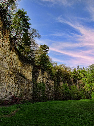
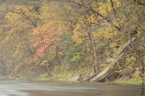
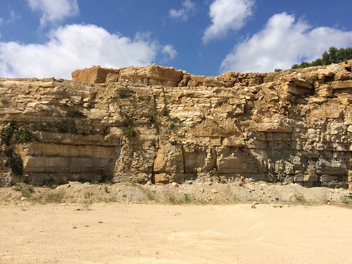
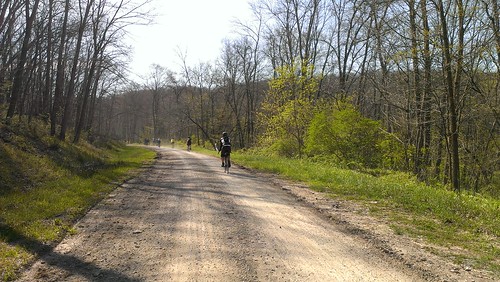
Elevation of Spring Valley, MN, USA
Location: United States > Minnesota > Fillmore County > Spring Valley Township >
Longitude: -92.396174
Latitude: 43.684423
Elevation: -10000m / -32808feet
Barometric Pressure: 0KPa
Related Photos:
Topographic Map of Spring Valley, MN, USA
Find elevation by address:

Places in Spring Valley, MN, USA:
Places near Spring Valley, MN, USA:
Tracy Road
Spring Valley Township
Orchard Road, Spring Valley, MN, USA
Mower Fillmore Rd, Racine, MN, USA
77454 Mn-16
Forestville Township
Co Rd, Preston, MN, USA
Stewartville
311 2nd St Sw
29760 Minor Road
Eagle Dr NW, Stewartville, MN, USA
8101 Maple Valley Rd Se
Stoddard St SW, Stewartville, MN, USA
High Forest Township
31 85th St SE, Rochester, MN, USA
County Rd 7 SE, Chatfield, MN, USA
1067 Autumn Woods Cir Sw
Chatfield
75th Ave SE, Eyota, MN, USA
54th Ave NW, Rochester, MN, USA
Recent Searches:
- Elevation map of Greenland, Greenland
- Elevation of Sullivan Hill, New York, New York, 10002, USA
- Elevation of Morehead Road, Withrow Downs, Charlotte, Mecklenburg County, North Carolina, 28262, USA
- Elevation of 2800, Morehead Road, Withrow Downs, Charlotte, Mecklenburg County, North Carolina, 28262, USA
- Elevation of Yangbi Yi Autonomous County, Yunnan, China
- Elevation of Pingpo, Yangbi Yi Autonomous County, Yunnan, China
- Elevation of Mount Malong, Pingpo, Yangbi Yi Autonomous County, Yunnan, China
- Elevation map of Yongping County, Yunnan, China
- Elevation of North 8th Street, Palatka, Putnam County, Florida, 32177, USA
- Elevation of 107, Big Apple Road, East Palatka, Putnam County, Florida, 32131, USA
- Elevation of Jiezi, Chongzhou City, Sichuan, China
- Elevation of Chongzhou City, Sichuan, China
- Elevation of Huaiyuan, Chongzhou City, Sichuan, China
- Elevation of Qingxia, Chengdu, Sichuan, China
- Elevation of Corso Fratelli Cairoli, 35, Macerata MC, Italy
- Elevation of Tallevast Rd, Sarasota, FL, USA
- Elevation of 4th St E, Sonoma, CA, USA
- Elevation of Black Hollow Rd, Pennsdale, PA, USA
- Elevation of Oakland Ave, Williamsport, PA, USA
- Elevation of Pedrógão Grande, Portugal
