Elevation of Spring Hill, TN, USA

Location: United States > Tennessee > Maury County >

Longitude: -86.930002

Latitude: 35.751179

Elevation: 232m / 761feet

Barometric Pressure: 99KPa

Elevation Map:

elevation map of Spring Hill, TN, USA

Satellite Map:

Satellite map of Spring Hill, TN, USA

Related Photos:

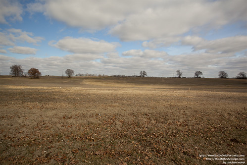
history franklin unitedstates tennessee civilwar battlefield battlefields 1864 johnbellhood
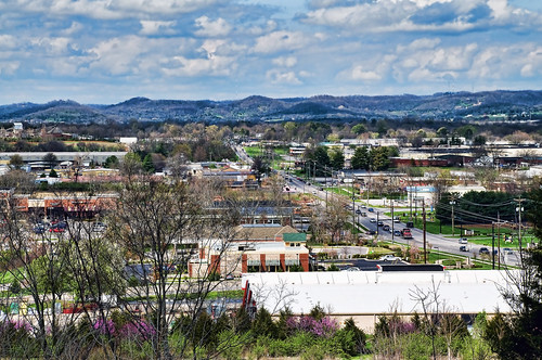
Looking Towards Franklin
backyardflowers
Backyard Flowers 009
backyardflowers
Backyard Flowers 006
backyardflowers
Backyard Flowers 008
ford aluminum closed s pickuptruck using dodge hd trailer ram polished diamondback ext fuelstation diamondplate superduty howweroll blacktruck sideloading tonneaucover fs08 truckbedcover extensiondeck dr09 lightgrayorsilvertruck atvrack personontop atvontop fishersatvworld passengersideheadlightview organizationalaffiliation multiplediamondbacks blacklinex heavydutytruckbedcover atvcarrier atvhauler
DiamondBack & Fisher's ATV World Gas Up on the Way to Land Between the Lakes
ford aluminum closed s pickuptruck dodge hd trailer ram polished diamondback ext fuelstation diamondplate superduty howweroll blacktruck sideloading tonneaucover fs08 truckbedcover extensiondeck dr09 lightgrayorsilvertruck atvrack atvontop fishersatvworld passengersideheadlightview organizationalaffiliation multiplediamondbacks blacklinex heavydutytruckbedcover atvcarrier atvhauler
DiamondBack & Fisher's ATV World Gas Up on the Way to Land Between the Lakes
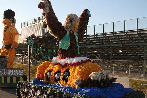
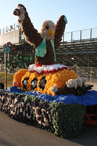
Sophomore float view 1
backyardflowers
Backyard Flowers 011
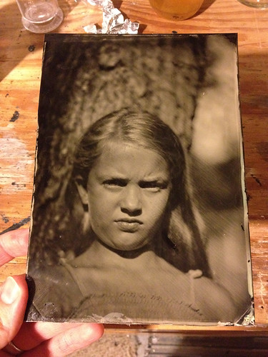
camera portrait view large tintype format 5x7 collodion wetplatecollodion
Tintype - Gracie
backyardflowers
Backyard Flowers 010
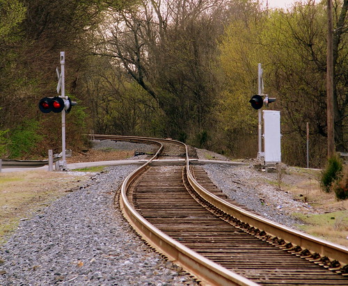
train tn tennessee tracks williamsoncounty thompsonsstation thompsonstation bmok bmok2
Tracks at Thompson Station
franklin tennessee civilwar battlefield columbiapike 1864 civilwarpreservationtrust cwpt
Franklin - Columbia Pike
franklin tennessee
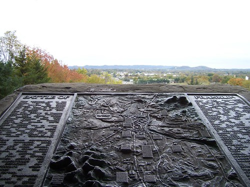
Hood's view of Franklin
Battle of Franklin Relief Map
civilwar armyoftennessee johnbellhood johnschofield rippavillaplantation battleofspringhill frankcheatham affairatspringhill benjaminfcheatham
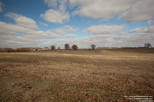
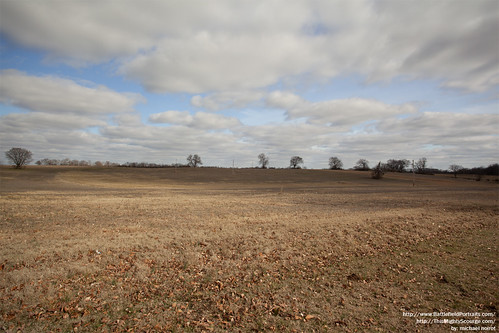
Spring Hill Battlefield - Pic 06
civilwar armyoftennessee johnbellhood johnschofield rippavillaplantation battleofspringhill frankcheatham affairatspringhill benjaminfcheatham
Spring Hill Battlefield - Pic 04
franklin war tennessee civil cwpt09pt
Columbia Pike
Black & White Cat
civilwar armyoftennessee johnbellhood johnschofield rippavillaplantation battleofspringhill frankcheatham affairatspringhill benjaminfcheatham
Spring Hill Battlefield - Pic 05
Sophomore float view 2
backyardflowers
Backyard Flowers 007
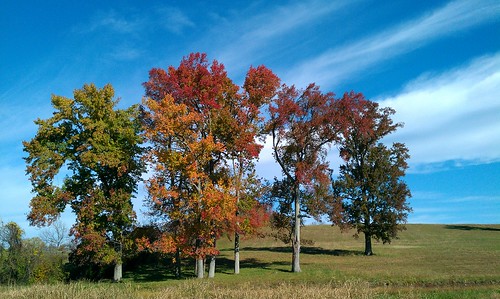
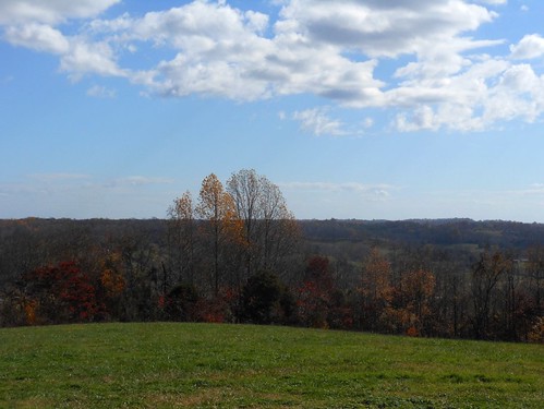
cameraphone trees sky clouds skyscape landscape cloudgazing skygazing deepbluesky
treegazing with sky
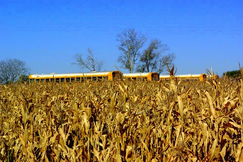
tn springhill
Corn Maze @ Spring Hill, TN Oct 2008
christmas fish nashville bassproshop
Traveling thru Columbia
franklin springhill franklintennessee americancivilwar battleoffranklin armyoftennessee thewarbetweenthestates americanmilitaryhistory theamericancivilwar cwt1864
Hood"s March to Spring Hill
photo 3.JPG
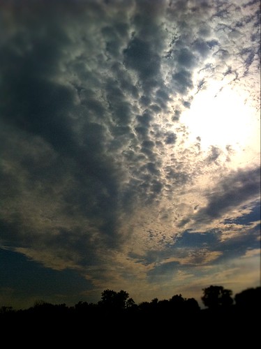
sunset clouds landscapes sunburst
cloud formation
After the Storm
photo 4.JPG
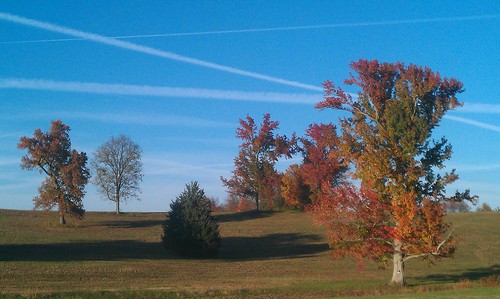
Sunday Day Trip - Oct 24, 2010
cameraphone trees landscape
Busy Sky
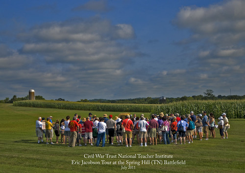
springhilltn roncogswell civilwartrust civilwartrustnationalteacherinstitute ericjaconson historianericjacobson civilwarteacherinstitute thebattleofspringhilltn
Civil War Trust National Teacher Institute -- Eric Jacobson Tour at the Spring Hill Battlefield (TN) July 2011
animals landscape cows farm
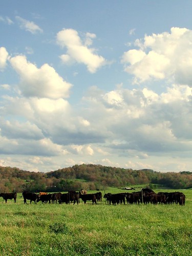
They think I am here to feed them...
springhilltn roncogswell civilwartrust springhilltncivilwarbattlefield
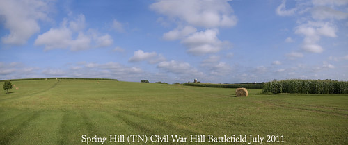
Spring Hill (TN) Civil War Battlefield July 2011
sunset sky film clouds analog olympusom1 sundogs kodakportra400 olympusomzuiko28mmf35 filmboxlab
Close Encounters
christmas fish nashville bassproshop
Traveling thru Columbia
foliage lightroom natcheztraceparkway
Burns Branch
usa franklin unitedstates tennessee
Natchez Trace - Burns Branch
usa franklin unitedstates tennessee
Sunday "After Church" Day Trip
nationalpark tennessee natcheztrace
Natchez Trace - Fall 2011