Elevation of Meade Dr, Spring Hill, TN, USA
Location: United States > Tennessee > Maury County > Spring Hill >
Longitude: -86.941538
Latitude: 35.758043
Elevation: 231m / 758feet
Barometric Pressure: 99KPa
Elevation Map:
Satellite Map:
Related Photos:

Looking Towards Franklin
Winstead Hill

Backyard Flowers 006
Black & White Cat
Columbia Pike
Hood's view of Franklin
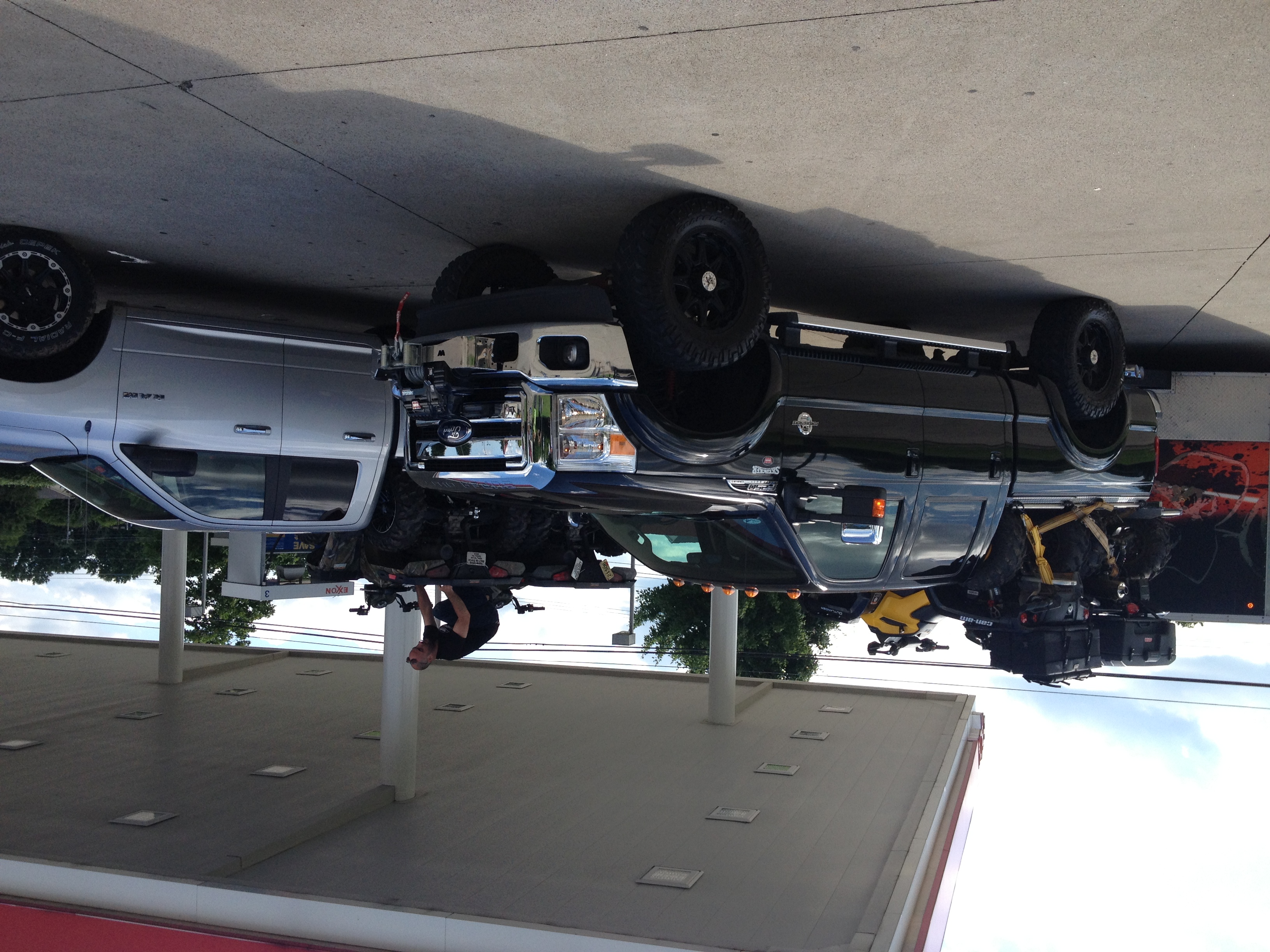
DiamondBack & Fisher's ATV World Gas Up on the Way to Land Between the Lakes

DiamondBack & Fisher's ATV World Gas Up on the Way to Land Between the Lakes

Backyard Flowers 011

Sophomore float view 1
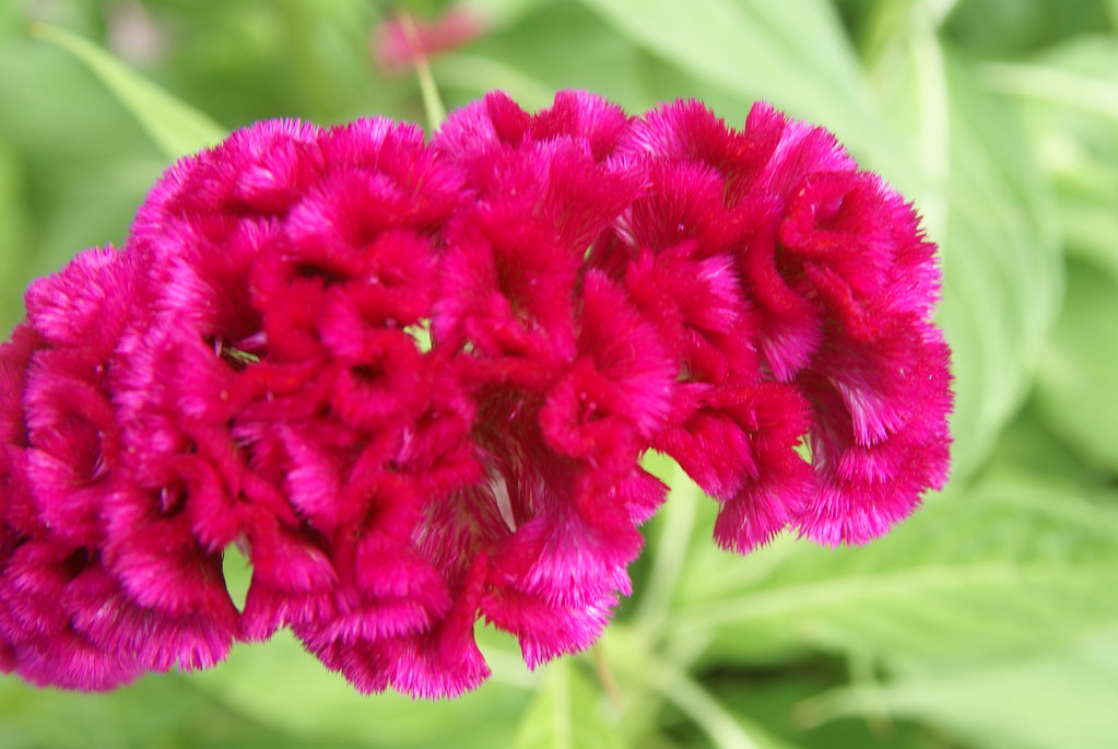
Backyard Flowers 008

Tintype - Gracie

Tracks at Thompson Station

Franklin - Columbia Pike

Backyard Flowers 010
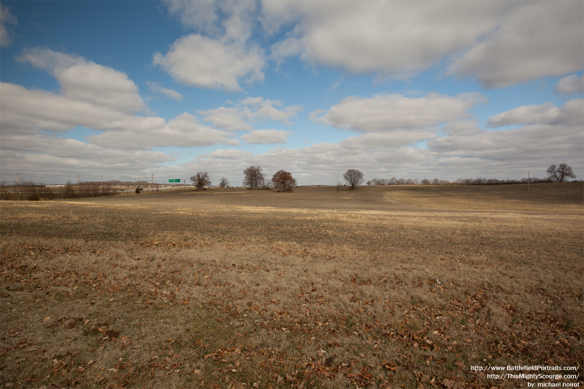
Spring Hill Battlefield - Pic 06
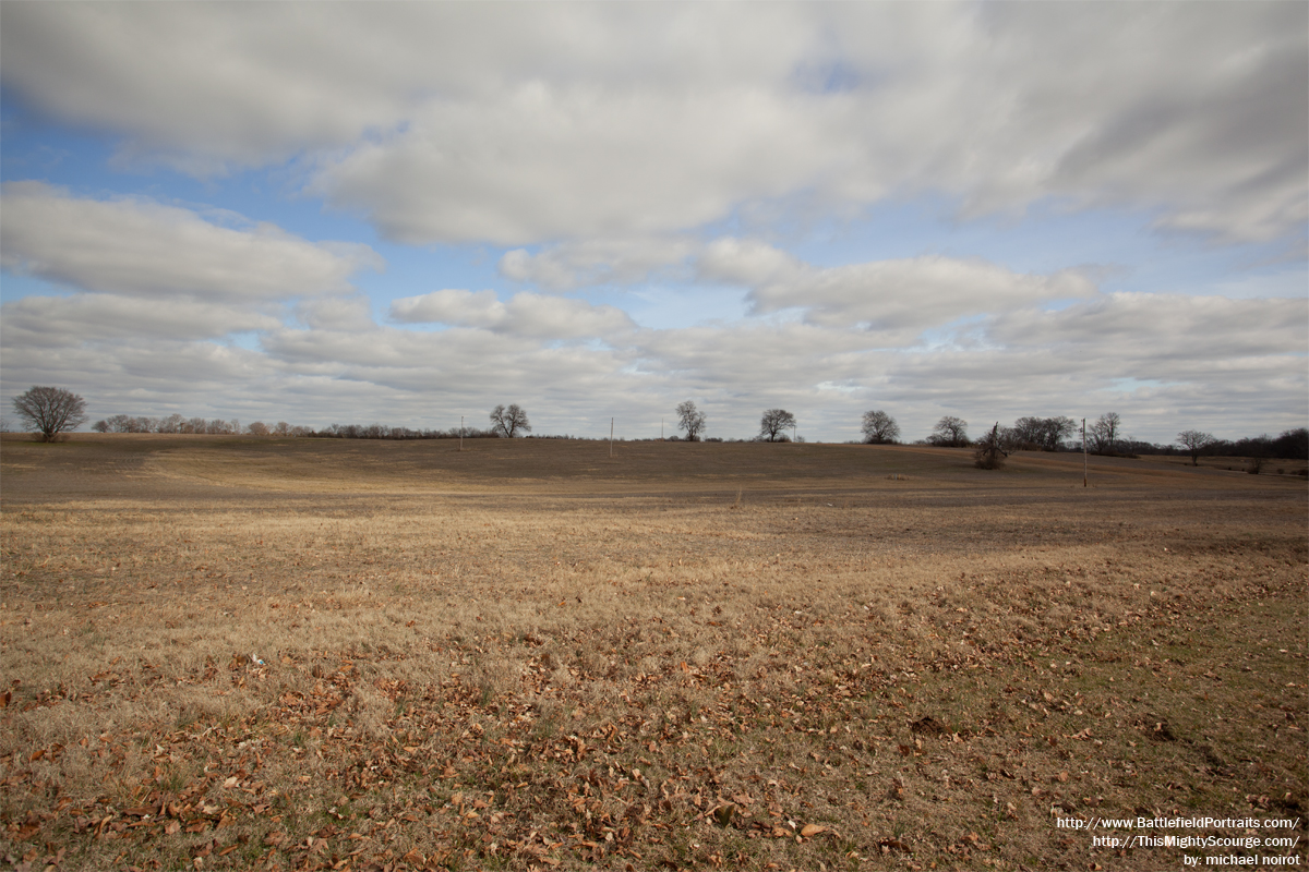
Spring Hill Battlefield - Pic 04

Battle of Franklin Relief Map

Backyard Flowers 007
Backyard Flowers 014

Backyard Flowers 003

Traveling thru Columbia

2013-12-27 06.49.47

Natchez Trace - Garrison Creek Loop from Burns Branch - November 4, 2012

After the Storm
Natchez Trace - Garrison Creek Loop from Burns Branch - November 4, 2012
treegazing with sky
Corn Maze @ Spring Hill, TN Oct 2008
They think I am here to feed them...

Road to the sun
Traveling thru Columbia

Natchez Trace - Fall 2011
Winter landscape
Natchez Trace - Garrison Creek Loop from Burns Branch - November 4, 2012

photo 3.JPG
Hood"s March to Spring Hill

Busy Sky

The tree and the valley
Snow covered hill
Topographic Map of Meade Dr, Spring Hill, TN, USA
Find elevation by address:

Places near Meade Dr, Spring Hill, TN, USA:
4013 Cardigan Ln
Spring Hill
Alex Dr, Spring Hill, TN, USA
1901 Sugar Ridge Rd
Cleburne Rd, Spring Hill, TN, USA
1063 Misty Morn Cir
Mary Ann Circle
2708 New Port Royal Rd
Thompson's Station
1360 Round Hill Ln
2005 Eagle Ct
2713 Camden Ct
3005 Lucky Ln
Irish Way
Spring Hill, TN, USA
3188 Chaplins Trace
806 Iris Ct
112 Brookhaven Dr
513 Rushmore Dr
4541 Chestnut Ridge Rd
Recent Searches:
- Elevation of Corso Fratelli Cairoli, 35, Macerata MC, Italy
- Elevation of Tallevast Rd, Sarasota, FL, USA
- Elevation of 4th St E, Sonoma, CA, USA
- Elevation of Black Hollow Rd, Pennsdale, PA, USA
- Elevation of Oakland Ave, Williamsport, PA, USA
- Elevation of Pedrógão Grande, Portugal
- Elevation of Klee Dr, Martinsburg, WV, USA
- Elevation of Via Roma, Pieranica CR, Italy
- Elevation of Tavkvetili Mountain, Georgia
- Elevation of Hartfords Bluff Cir, Mt Pleasant, SC, USA