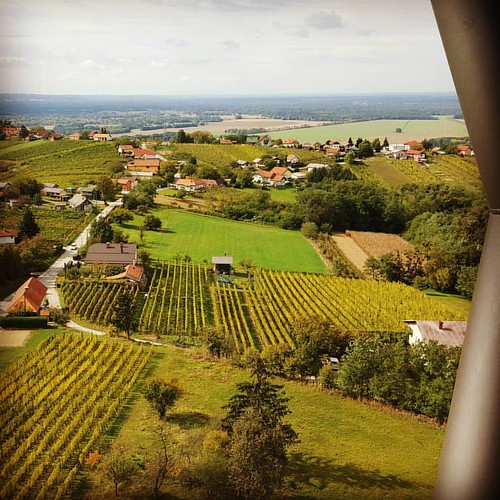
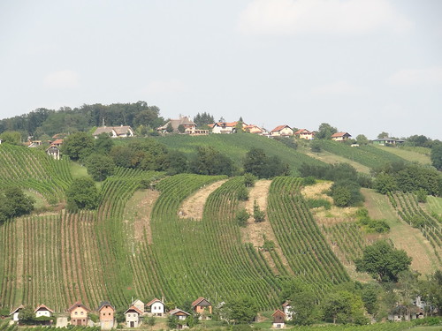
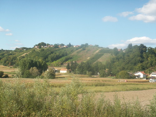
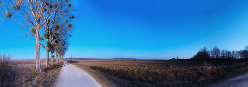
Elevation of Spodnja ulica 7, Lendava, Slovenia
Location: Slovenia >
Longitude: 16.4563439
Latitude: 46.5278508
Elevation: 158m / 518feet
Barometric Pressure: 99KPa
Related Photos:
Topographic Map of Spodnja ulica 7, Lendava, Slovenia
Find elevation by address:

Places near Spodnja ulica 7, Lendava, Slovenia:
Gornja ulica 32, Lendava, Slovenia
Rédics
Wood-win-door Kft.
Općina Podturen
Glavna ul. 21, Novakovec, Croatia
Novakovec
Mur
Godeninci 11, Središče ob Dravi, Slovenia
Mota 32, Ljutomer, Slovenia
Murarátka, Ady Endre út 3, Hungary
Mota
Jeruzalem
Ljutomer
Baksaszer 10
45c
Ormož
Őriszentpéter
Kovácsszer 28
Murska Sobota
Őriszentpéter, Keserűszer 8, Hungary
Recent Searches:
- Elevation of Corso Fratelli Cairoli, 35, Macerata MC, Italy
- Elevation of Tallevast Rd, Sarasota, FL, USA
- Elevation of 4th St E, Sonoma, CA, USA
- Elevation of Black Hollow Rd, Pennsdale, PA, USA
- Elevation of Oakland Ave, Williamsport, PA, USA
- Elevation of Pedrógão Grande, Portugal
- Elevation of Klee Dr, Martinsburg, WV, USA
- Elevation of Via Roma, Pieranica CR, Italy
- Elevation of Tavkvetili Mountain, Georgia
- Elevation of Hartfords Bluff Cir, Mt Pleasant, SC, USA

