Elevation of Őriszentpéter, Baksaszer 10, Hungary
Location: Hungary > Őriszentpéter >
Longitude: 16.42547
Latitude: 46.833636
Elevation: 243m / 797feet
Barometric Pressure: 98KPa
Elevation Map:
Satellite Map:
Related Photos:
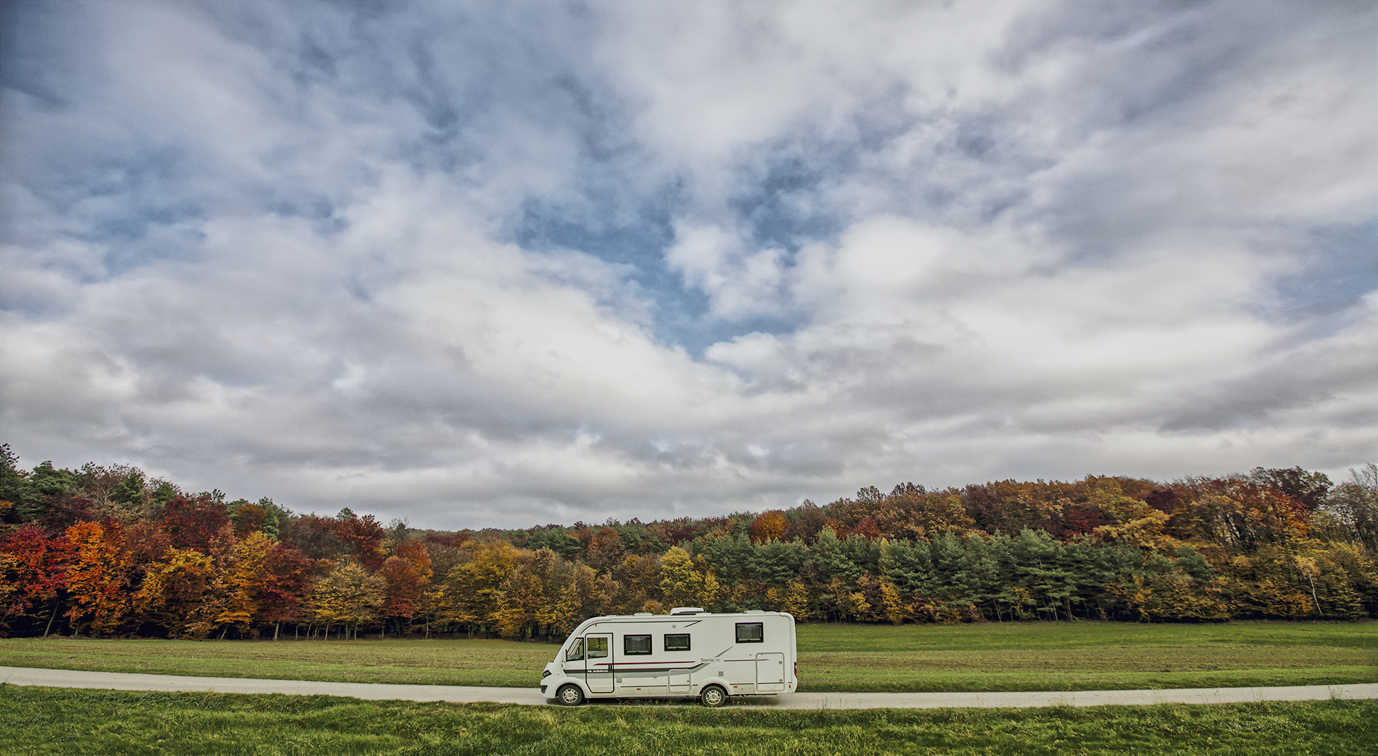
Adria Mobil Sonic motorhome landscape in Selo, Moravske Toplice, Prekmurje, Slovenia
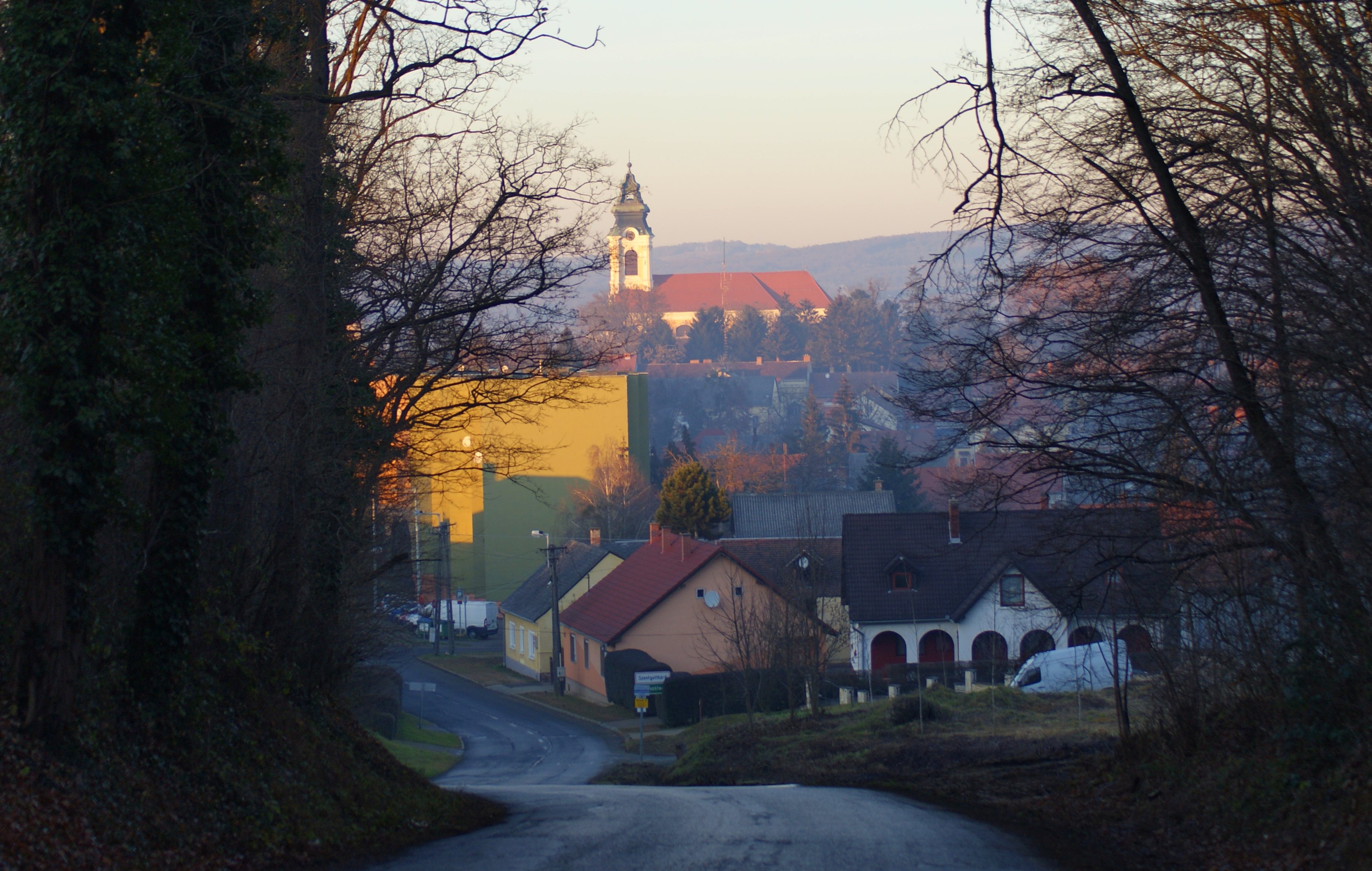
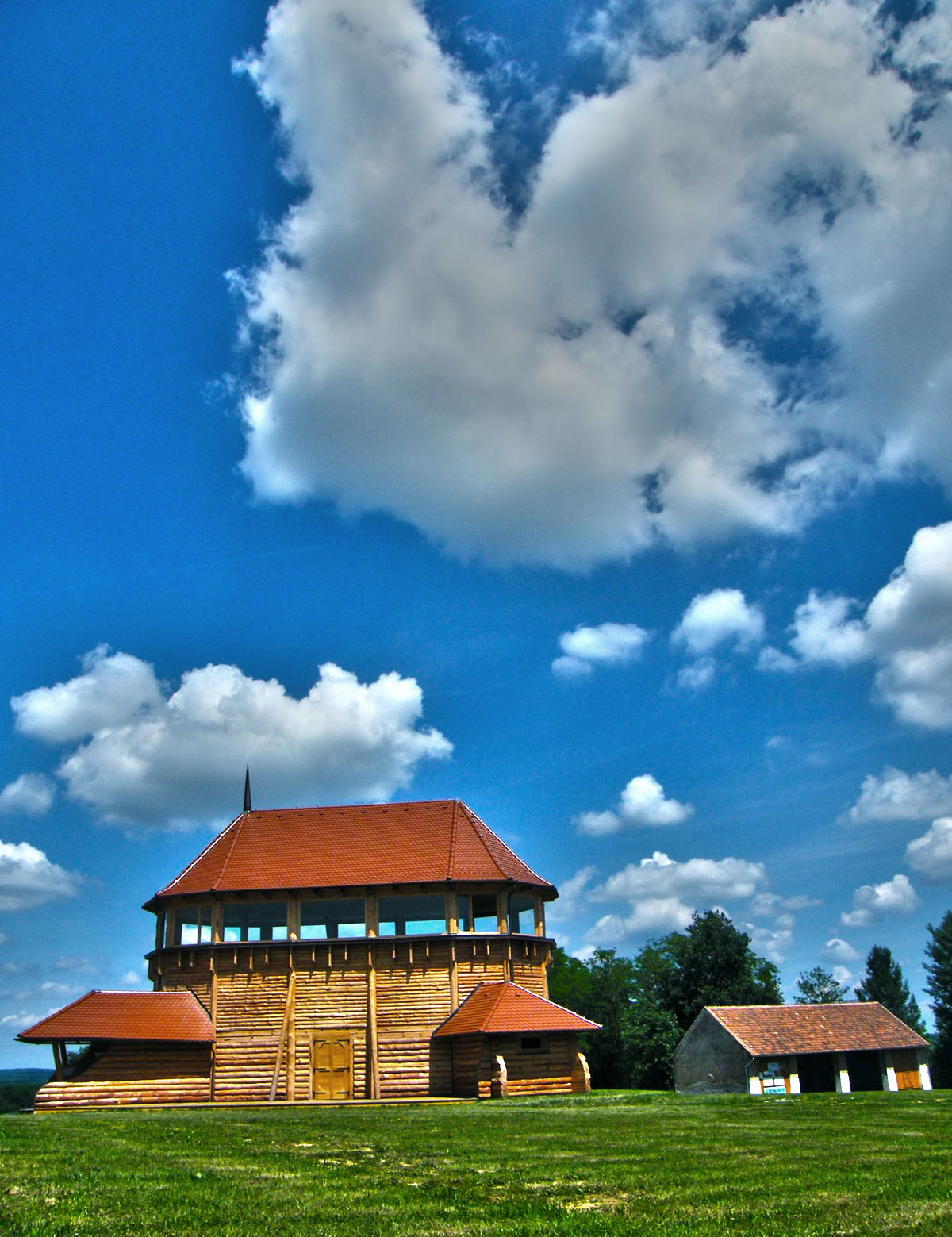
Szentgotthárd

In The Autumn Forest

the gate of the forest

bike in the woods
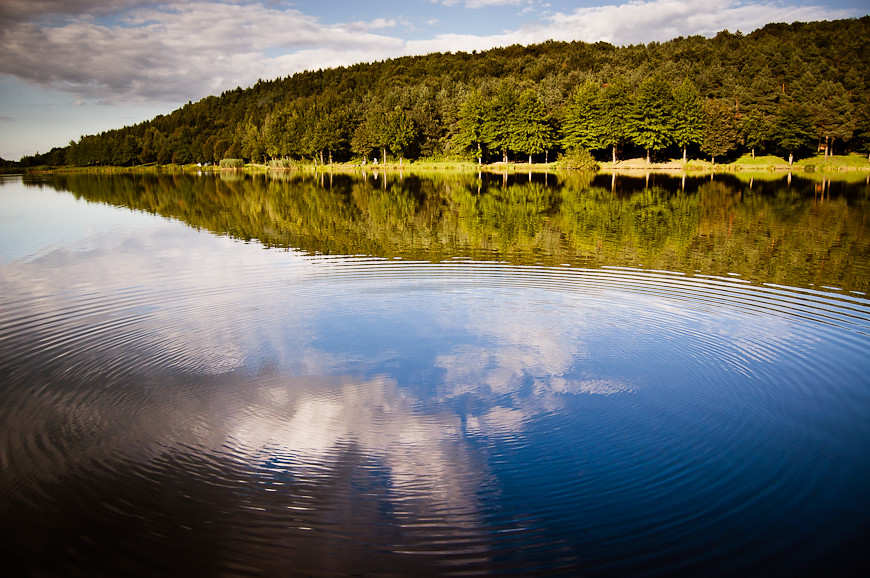
ripples on the water
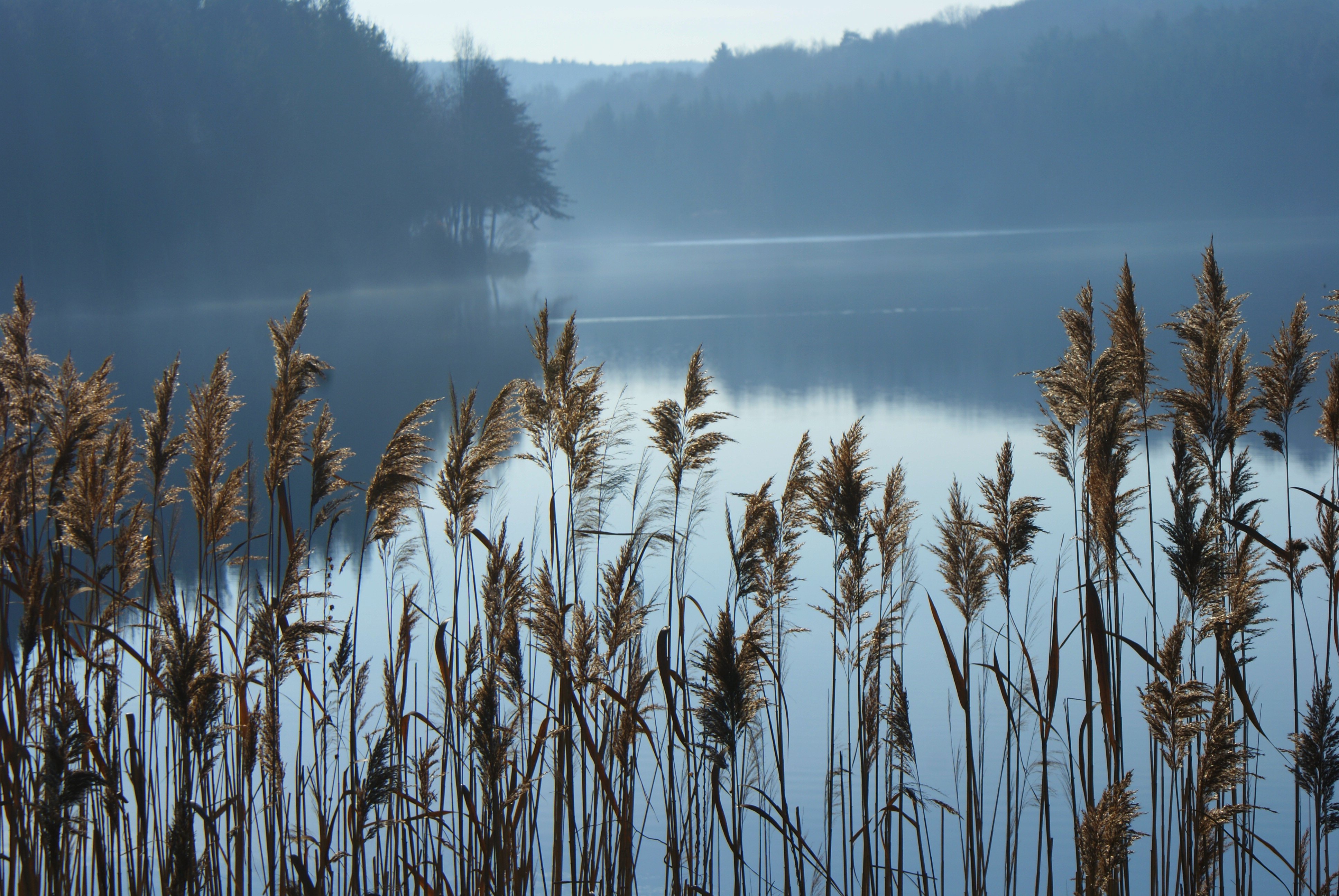
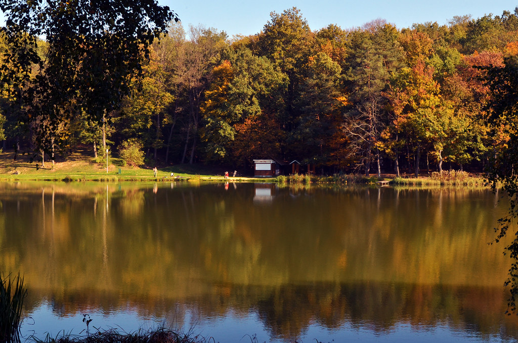
Hársas tó
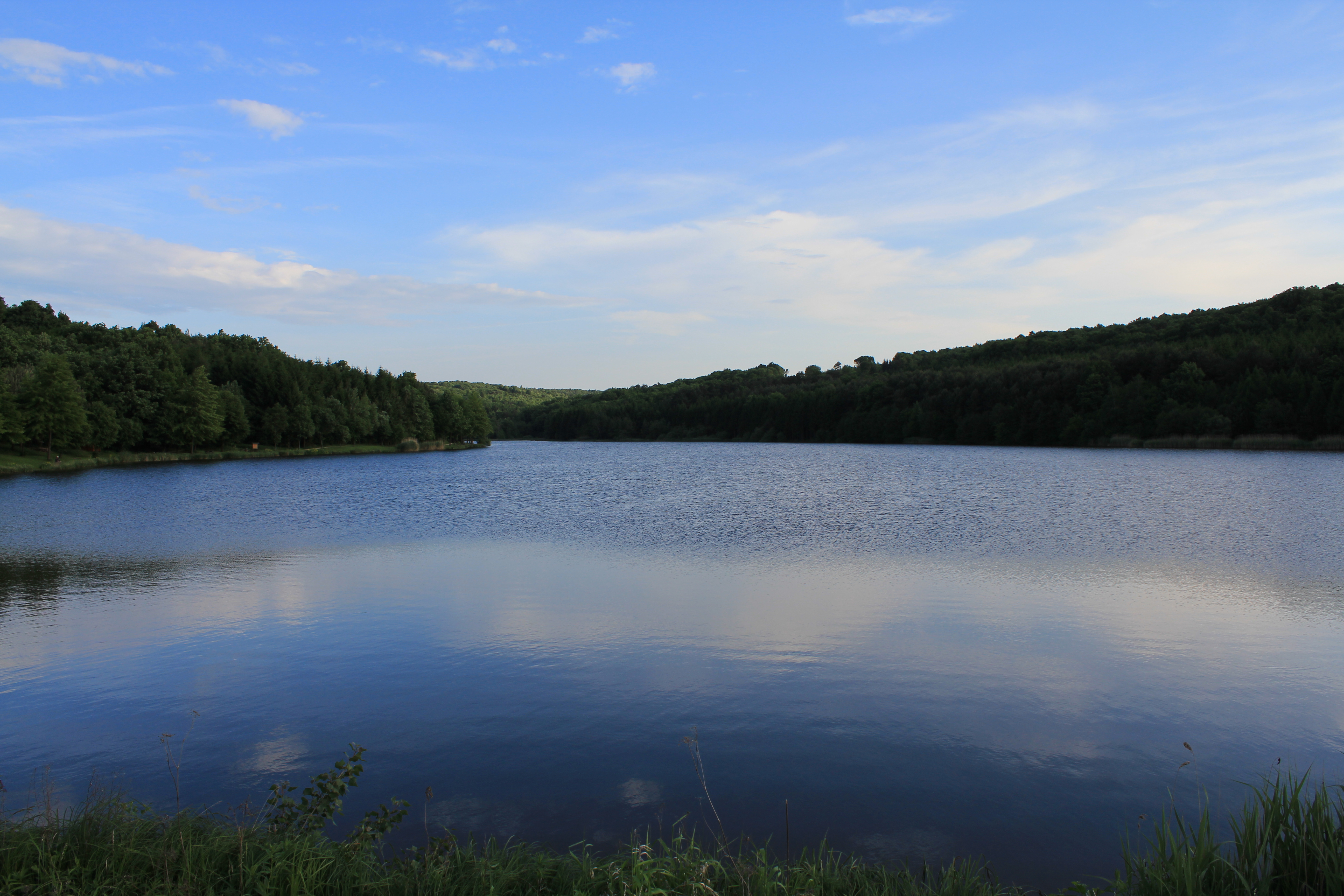
Hársas Lake
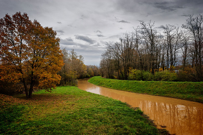
068 - Meander

042 - In Spotlight

044 - Framed Colors
őrség_201106_619v2

along the lake

ein ländliches Portrait
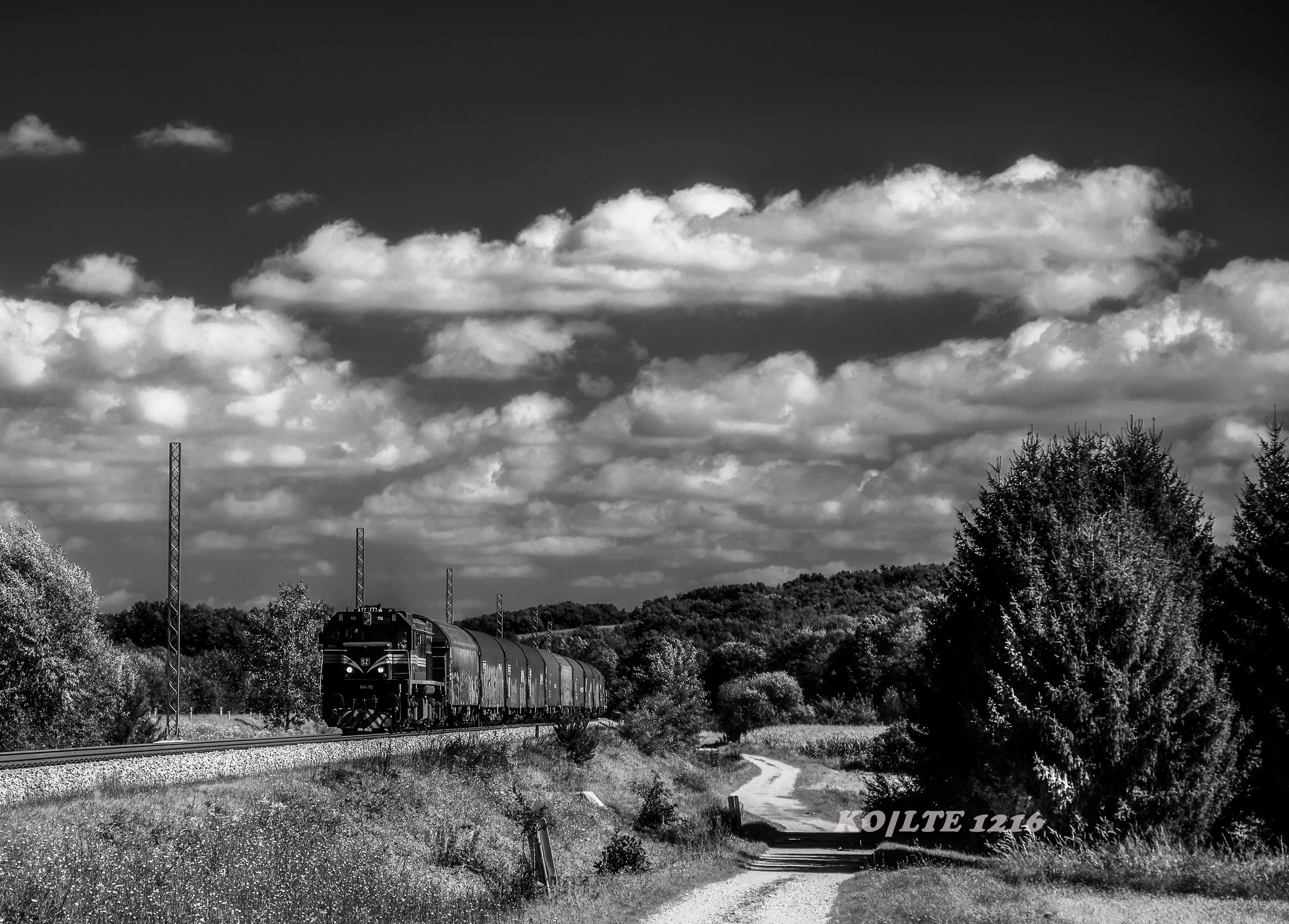
Slovenske železnice d.o.o. - 664.112 - Salovci,SI
Windows 9

Hungary / Vadása Tó
Őrségi délután
Farkasfa 2006
a távolból

Hungary / Vadása Tó
Hungary / Vadása Tó Fishermen
Topographic Map of Őriszentpéter, Baksaszer 10, Hungary
Find elevation by address:

Places near Őriszentpéter, Baksaszer 10, Hungary:
Őriszentpéter
Kovácsszer 28
Őriszentpéter, Keserűszer 8, Hungary
Szentgotthárdi
Gasztony
Nemesmedves, Fő u. 5, Hungary
Zalalövő
Szentgotthárd
Rábatótfalu
Szentgotthárd, Tótfalusi út 78, Hungary
Rédics
Moschendorf 35, Moschendorf, Austria
Moschendorf
Langzeil 54, Güssing, Austria
Güssing District
Güssing
Körmend
Poppendorf Im Burgenland
Sportplatzgasse 3, Poppendorf im Burgenland, Austria
45c
Recent Searches:
- Elevation of Corso Fratelli Cairoli, 35, Macerata MC, Italy
- Elevation of Tallevast Rd, Sarasota, FL, USA
- Elevation of 4th St E, Sonoma, CA, USA
- Elevation of Black Hollow Rd, Pennsdale, PA, USA
- Elevation of Oakland Ave, Williamsport, PA, USA
- Elevation of Pedrógão Grande, Portugal
- Elevation of Klee Dr, Martinsburg, WV, USA
- Elevation of Via Roma, Pieranica CR, Italy
- Elevation of Tavkvetili Mountain, Georgia
- Elevation of Hartfords Bluff Cir, Mt Pleasant, SC, USA