Elevation of Nemesmedves, Fő u. 5, Hungary
Location: Hungary >
Longitude: 16.401664
Latitude: 46.9979025
Elevation: 221m / 725feet
Barometric Pressure: 99KPa
Elevation Map:
Satellite Map:
Related Photos:
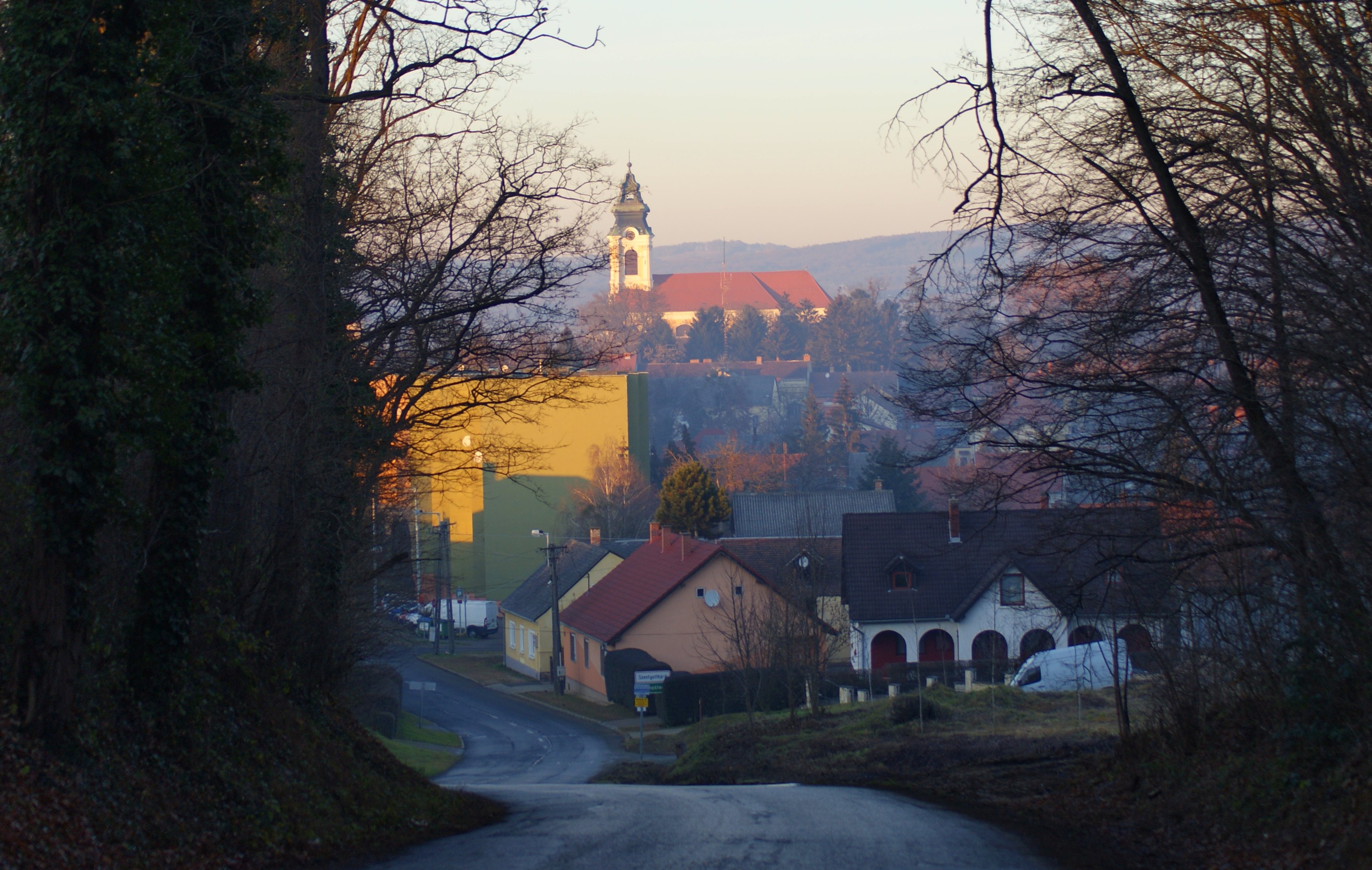
Szentgotthárd
Heiligenbrunn - 06
Heiligenbrunn - 05

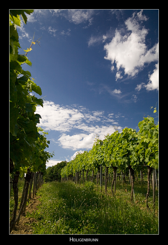
Heiligenbrunn - 02

Hófehér

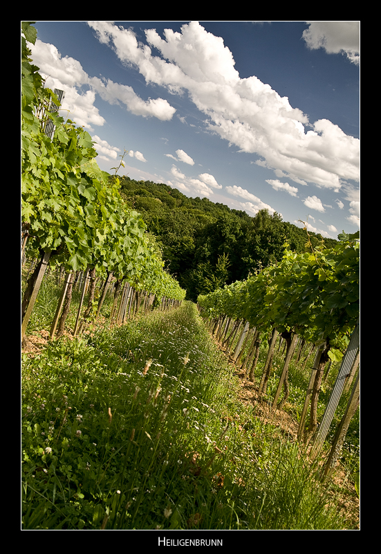
Heiligenbrunn - 03

view from castle Güssing
Heiligenbrunn - 04
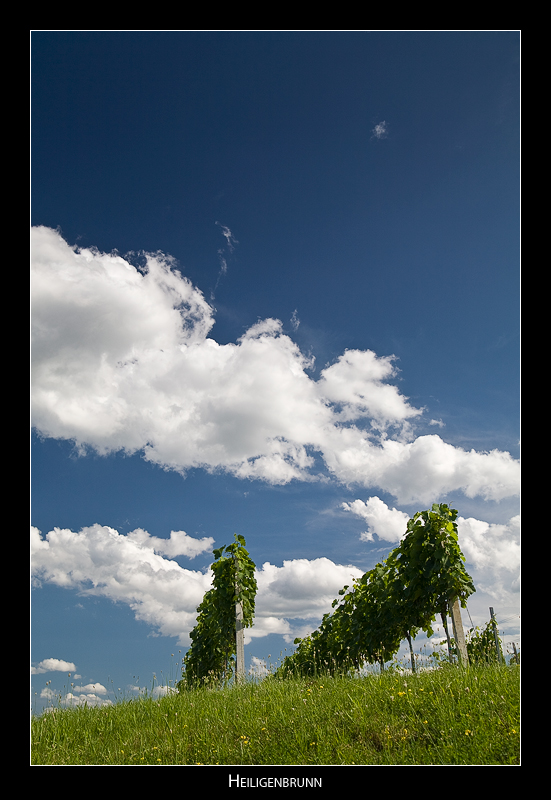
Heiligenbrunn - 01

100mm@50mm

Nem megy :(

IMG_6446-1
Güssing

Jázmin és Tekla
Experiment- Bicycle

Julia (are breaking up)

the gate of the forest

bike in the woods
Sky over Burgenland
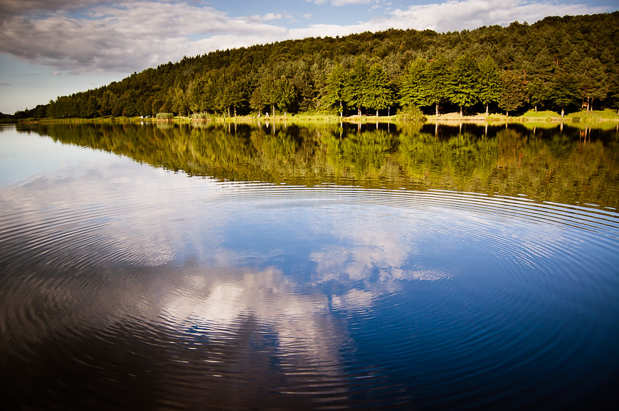
ripples on the water

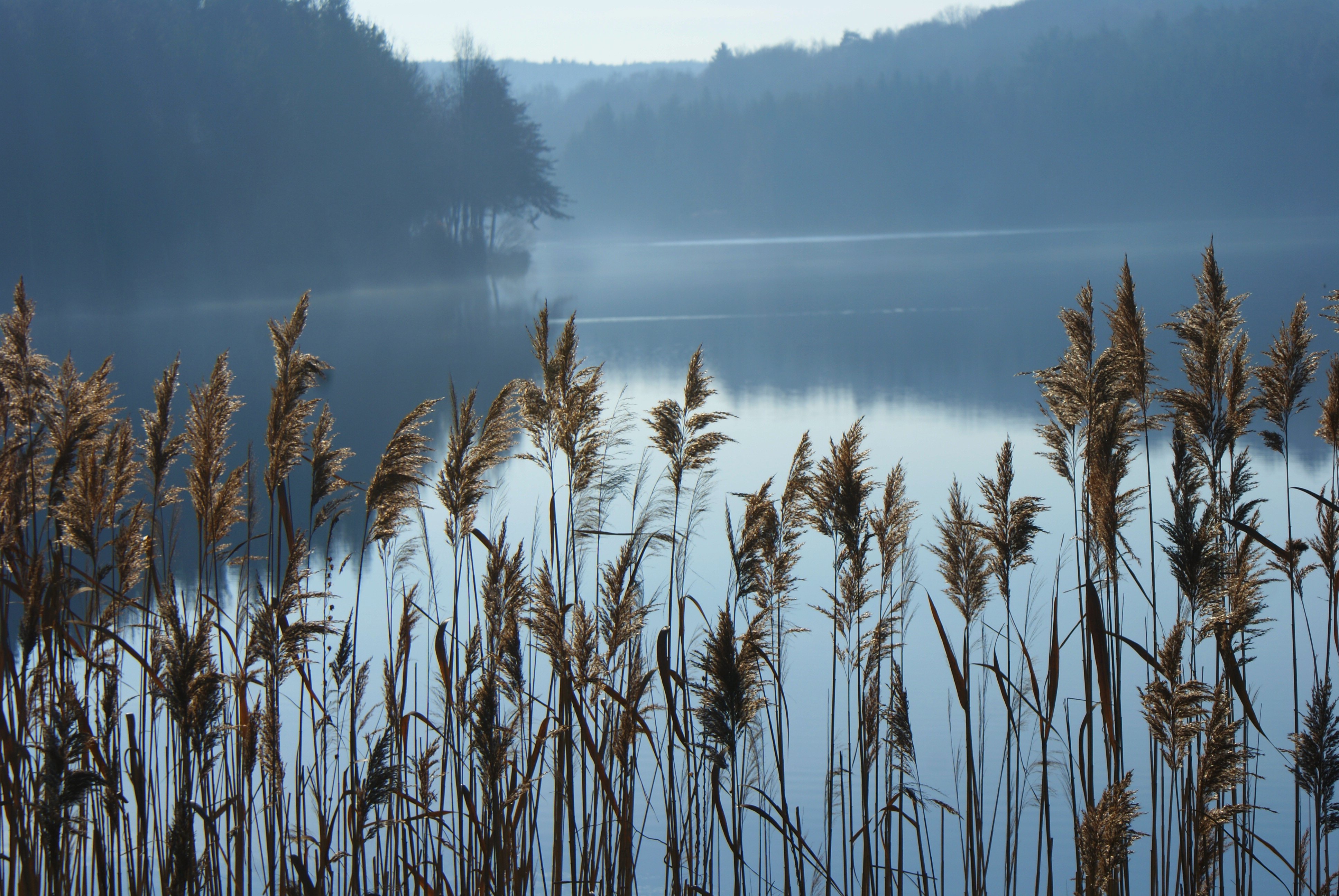
along the lake

ein ländliches Portrait
Hársas tó

Nightshot II

Nightshot IV
Farkasfa 2006
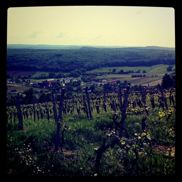
Burgenland... Austrian vineyards...

Lonely flower

au col du St Gotthard (Alpes Suisses), la porte vers l'Italie

Grass in the sunset

Nightshot I

2014-10-25_12-27-46.jpg

2014-10-25_12-01-14.jpg
Farkasfa 2006
Güssing 075
Roadside chill

rét
Topographic Map of Nemesmedves, Fő u. 5, Hungary
Find elevation by address:

Places near Nemesmedves, Fő u. 5, Hungary:
Gasztony
Moschendorf 35, Moschendorf, Austria
Moschendorf
Güssing District
Güssing
Szentgotthárdi
Langzeil 54, Güssing, Austria
Hauptpl. 21, Eberau, Austria
Eberau
Szentgotthárd
Punitz 53, Punitz, Austria
Őriszentpéter, Keserűszer 8, Hungary
Kovácsszer 28
Őriszentpéter
Rábatótfalu
Szentgotthárd, Tótfalusi út 78, Hungary
Baksaszer 10
Sportplatzgasse 3, Poppendorf im Burgenland, Austria
Poppendorf Im Burgenland
Körmend
Recent Searches:
- Elevation of Corso Fratelli Cairoli, 35, Macerata MC, Italy
- Elevation of Tallevast Rd, Sarasota, FL, USA
- Elevation of 4th St E, Sonoma, CA, USA
- Elevation of Black Hollow Rd, Pennsdale, PA, USA
- Elevation of Oakland Ave, Williamsport, PA, USA
- Elevation of Pedrógão Grande, Portugal
- Elevation of Klee Dr, Martinsburg, WV, USA
- Elevation of Via Roma, Pieranica CR, Italy
- Elevation of Tavkvetili Mountain, Georgia
- Elevation of Hartfords Bluff Cir, Mt Pleasant, SC, USA