Elevation of Spencer Branch Rd, Lansing, NC, USA
Location: United States > North Carolina > Ashe County > Piney Creek > Lansing >
Longitude: -81.492226
Latitude: 36.5699613
Elevation: 893m / 2930feet
Barometric Pressure: 91KPa
Elevation Map:
Satellite Map:
Related Photos:
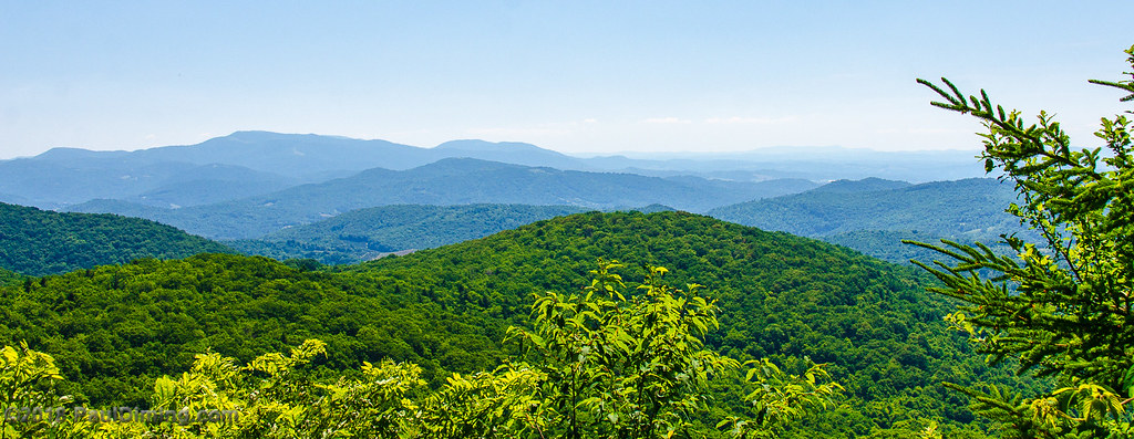
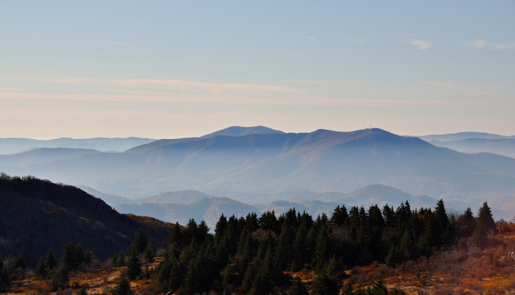
Mountain View @ Grayson Highlands State Park - Mouth of Wilson, VA

View of W4C/EM-014 - Three Top Mountain
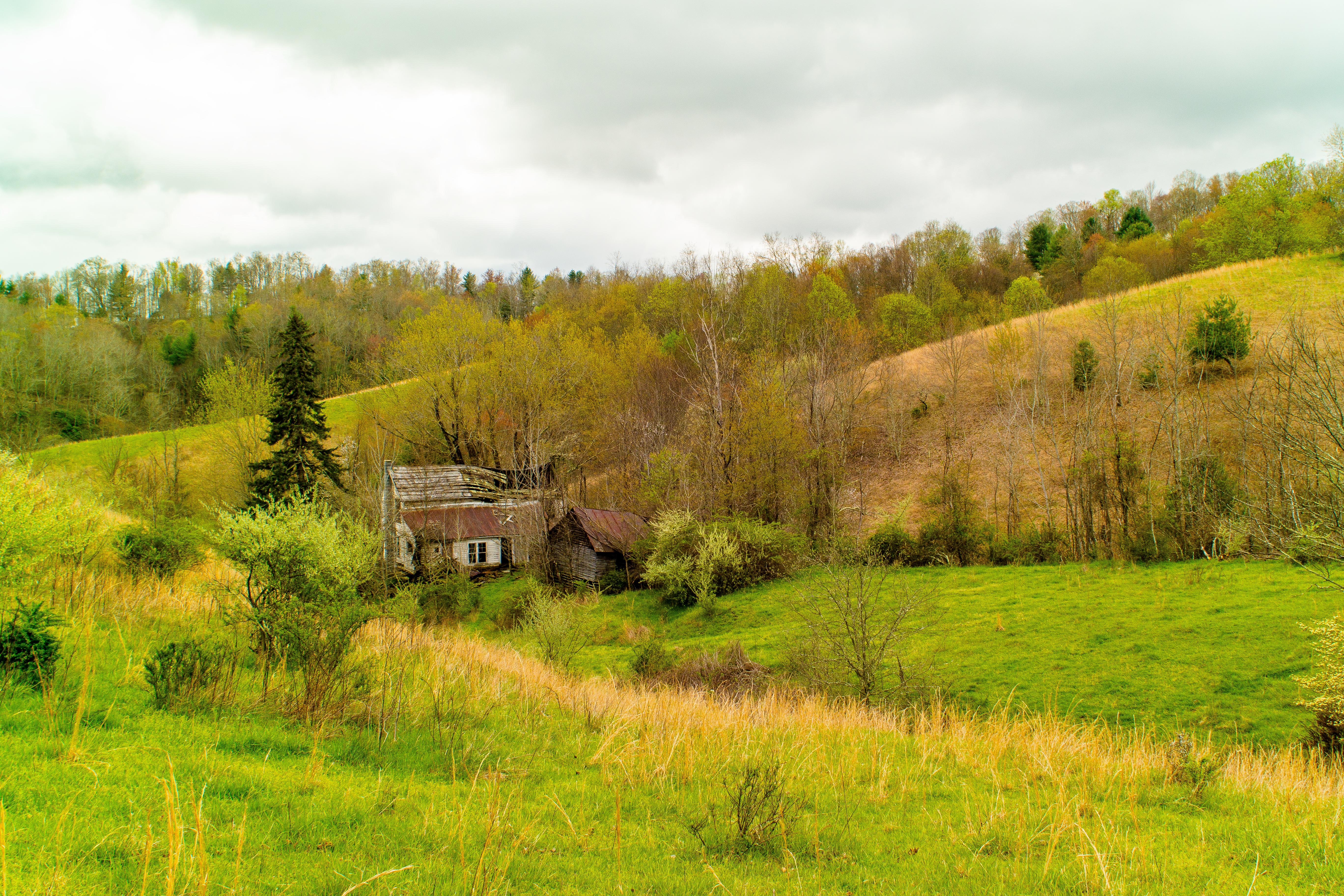
Forgotten House in the Hills

Mobile Home
Think Outside photo contest Grayson Highlands State Park
views around the homestead (2)
views around the homestead (9)

Wilburn Ridge Trail

Grayson Highlands Sunset
Sunset on White Top

Sunset on White Top
View Toward Buzzard Rocks from Whitetop Mountain - Mt. Rogers, NRA, Whitetop, VA

Appalachian Yorkie

Virginia Creeper Trail 360

3D Grayson Highlands Park
Virginia Creeper Trail 360

View Toward Buzzard Rocks from Whitetop Mountain - Mt. Rogers, NRA, Whitetop, VA
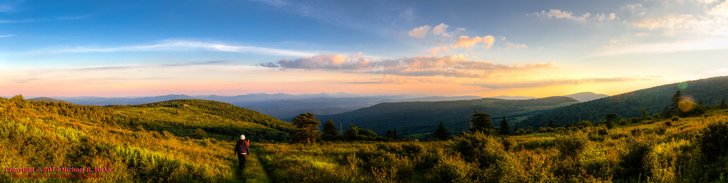
Morning in the Grayson Highlands
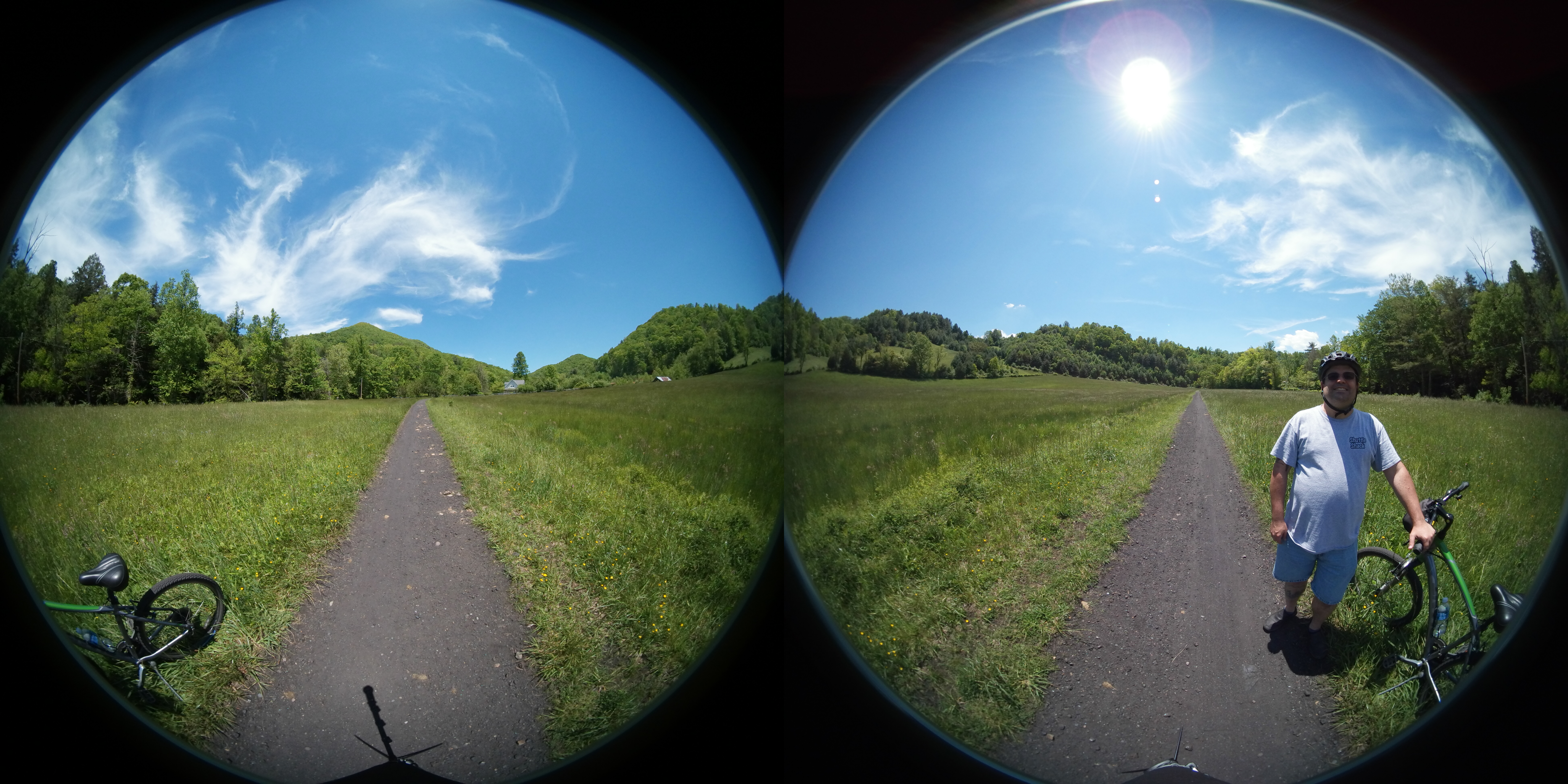
Virginia Creeper Trail 360

The Light Shines Through
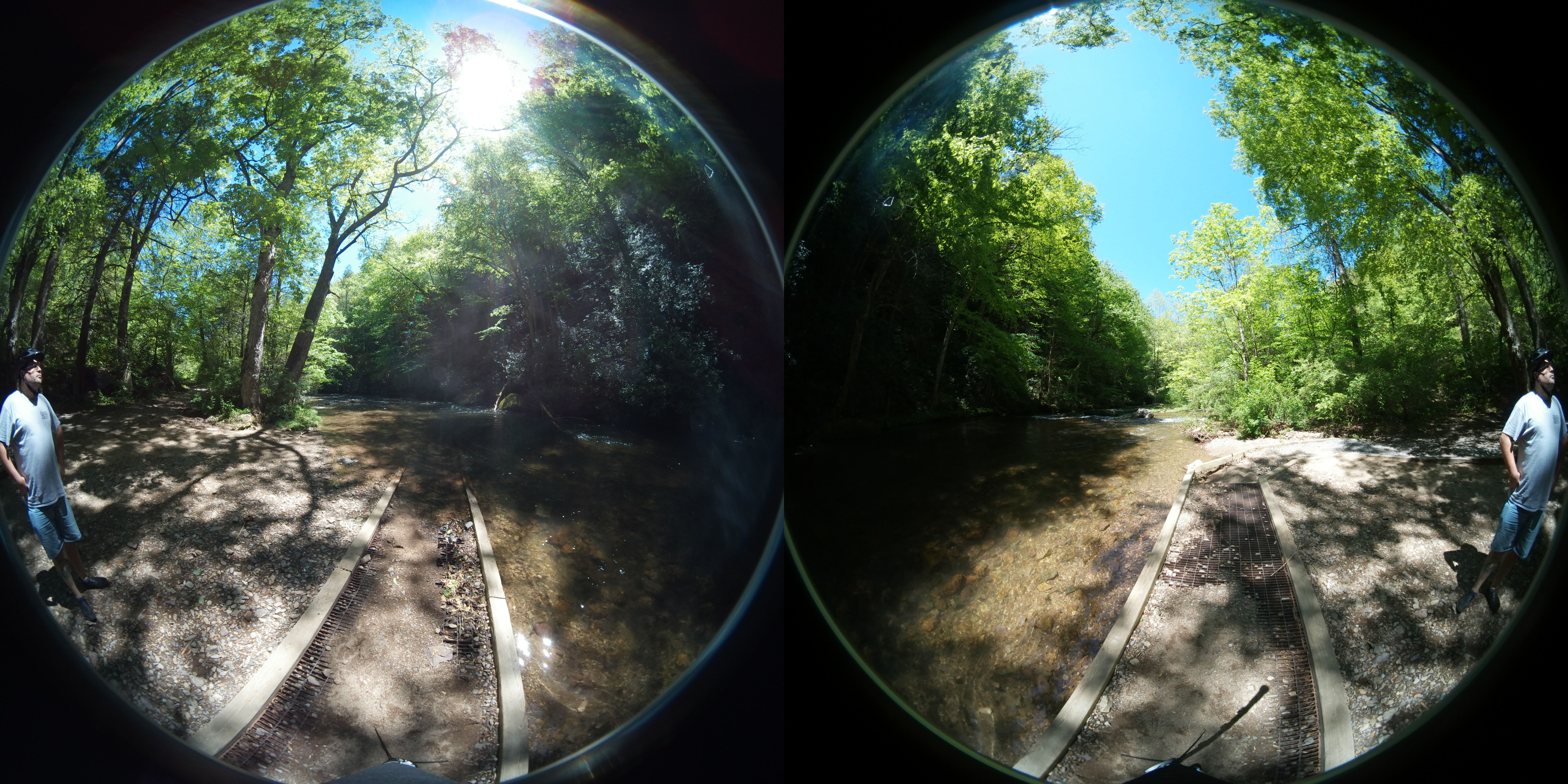
Virginia Creeper Trail 360

Christmas Tree Farms...
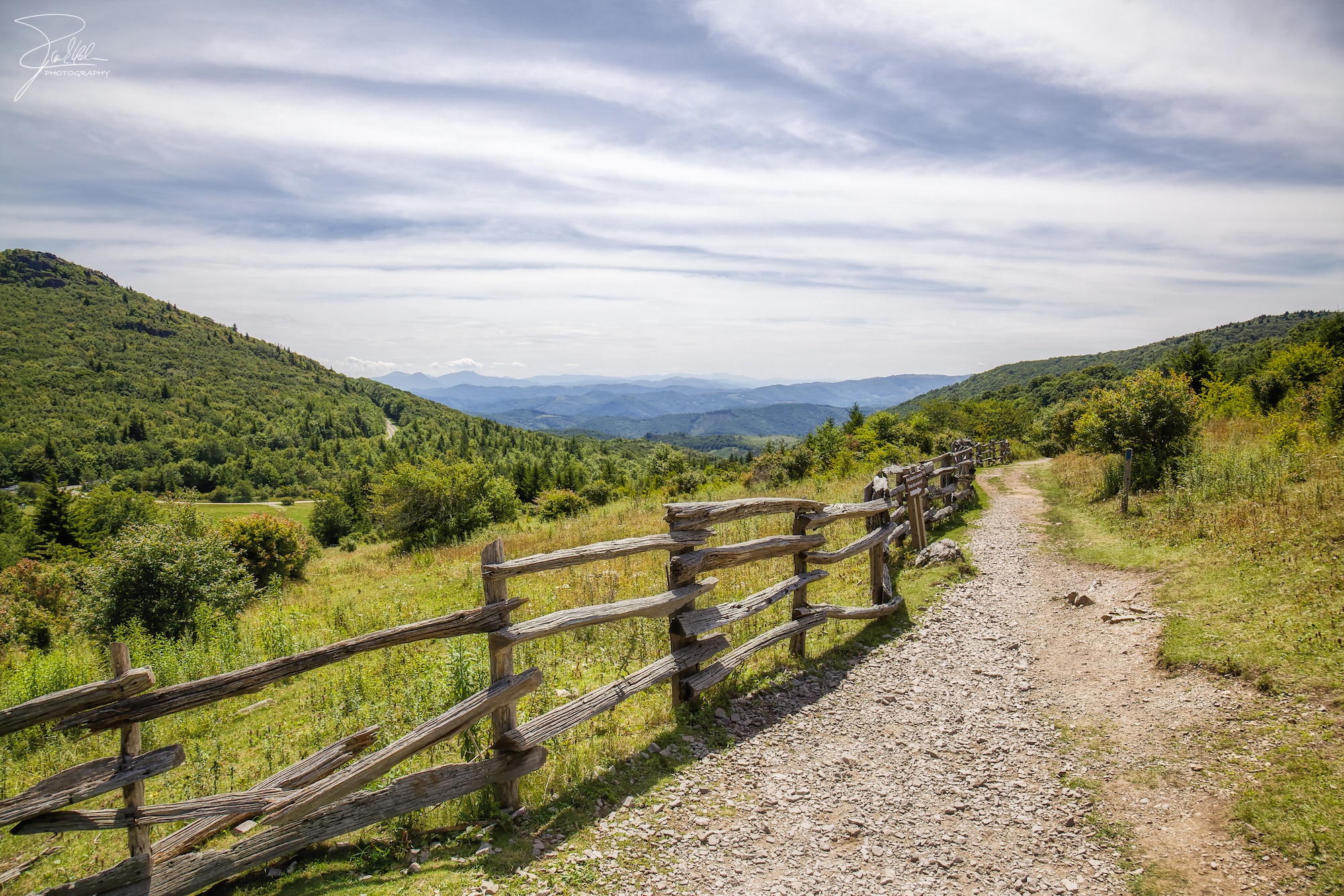
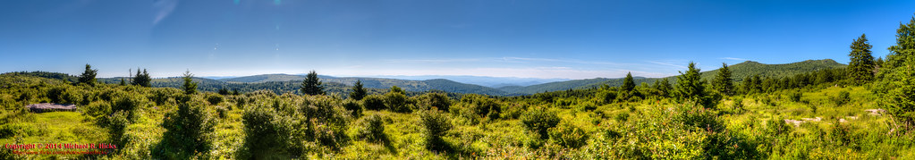
Grayson Highlands

Mt Rogers Summit Panorama
Pine Mountain - Early Morning Panorama

Grayson Highlands

Fox Creek
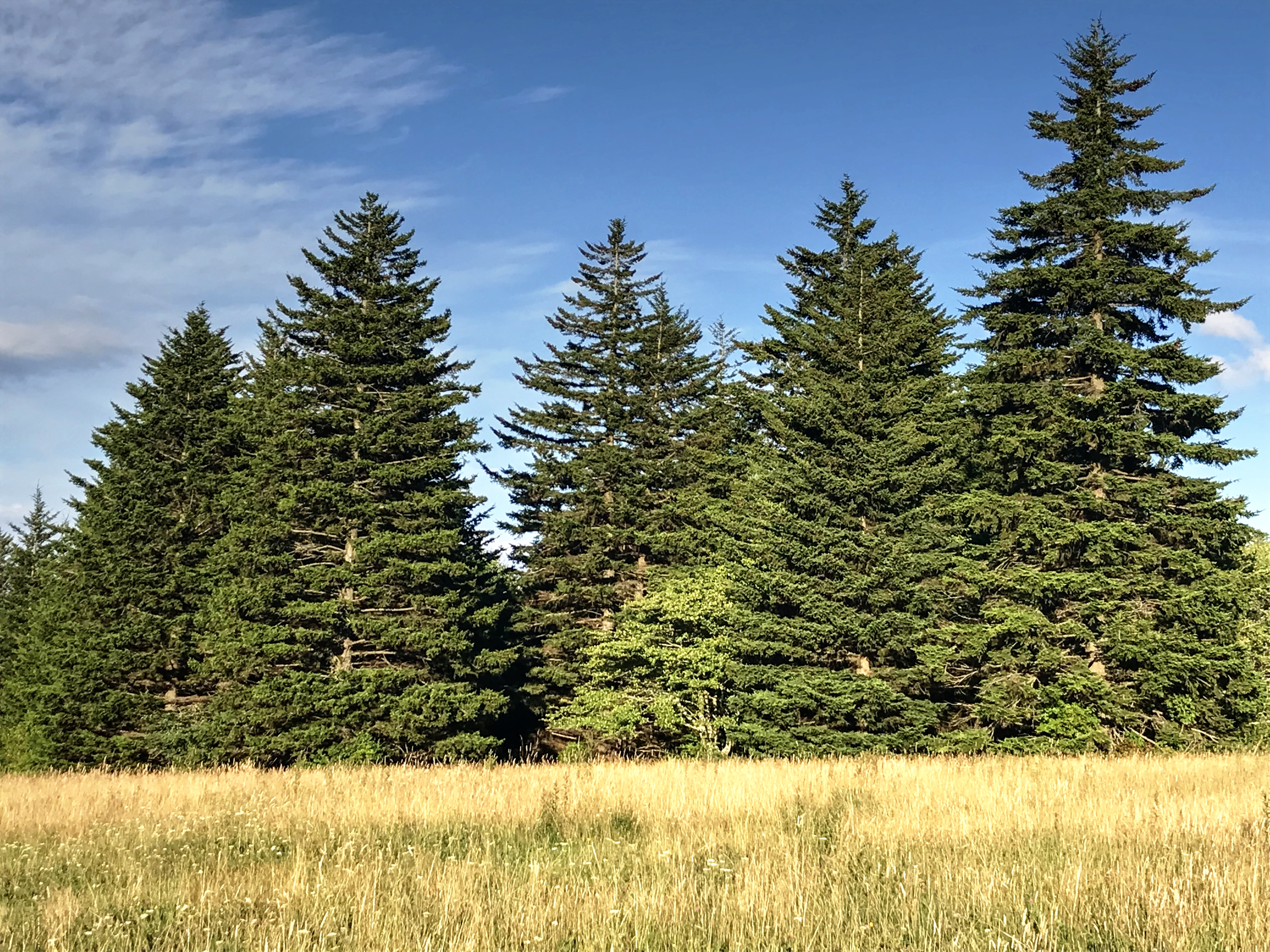
Meadow, Trees, and Sky

Wilburn Ridge Sunset
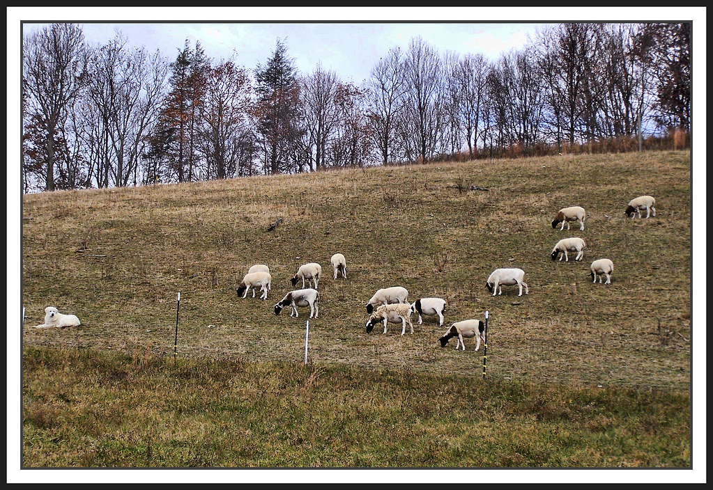
The Herder

JFRM-2017-04-7524.jpg
Mt Rogers Backpack - On the AT - Golden Hour at Thomas Knob - July 5, 2014

Mount Rogers Summit
Topographic Map of Spencer Branch Rd, Lansing, NC, USA
Find elevation by address:

Places near Spencer Branch Rd, Lansing, NC, USA:
544 Fees Branch Rd
230 Spencer Branch Rd
Laurel Hill Road
3322 Rugby Rd
618 Laurel Hill Rd
138 Haworchard Ln
8773 Highlands Pkwy
6466 Highlands Pkwy
9927 Highlands Pkwy
9927 Highlands Pkwy
746 Bear Wallow Rd
9227 Highlands Pkwy
9227 Highlands Pkwy
9227 Highlands Pkwy
9227 Highlands Pkwy
310 Bear Wallow Rd
899 Bear Wallow Rd
Rugby Road
11605 Highlands Pkwy
2585 Quillen Ridge Rd
Recent Searches:
- Elevation of Corso Fratelli Cairoli, 35, Macerata MC, Italy
- Elevation of Tallevast Rd, Sarasota, FL, USA
- Elevation of 4th St E, Sonoma, CA, USA
- Elevation of Black Hollow Rd, Pennsdale, PA, USA
- Elevation of Oakland Ave, Williamsport, PA, USA
- Elevation of Pedrógão Grande, Portugal
- Elevation of Klee Dr, Martinsburg, WV, USA
- Elevation of Via Roma, Pieranica CR, Italy
- Elevation of Tavkvetili Mountain, Georgia
- Elevation of Hartfords Bluff Cir, Mt Pleasant, SC, USA