Elevation of Spear St, Charlotte, VT, USA
Location: United States > Vermont > Chittenden County >
Longitude: -73.188836
Latitude: 44.319945
Elevation: 114m / 374feet
Barometric Pressure: 100KPa
Elevation Map:
Satellite Map:
Related Photos:
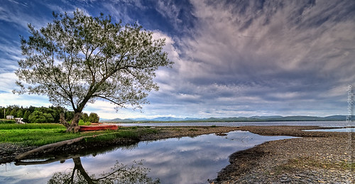
The Red Canoe
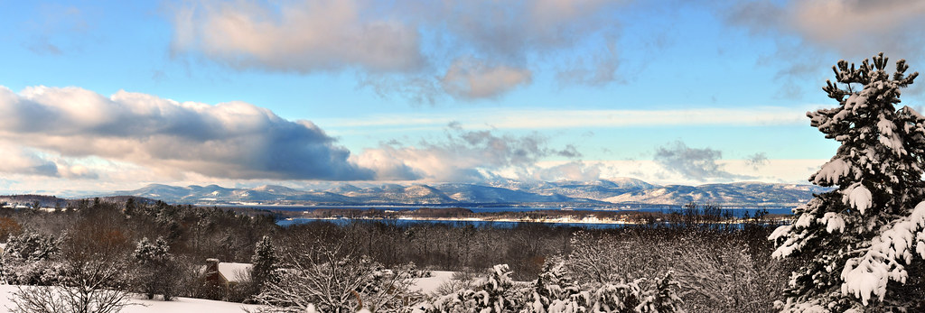
The Overlook
Shelburne Farms (1886) – Farm Barn (1888-90) - detail
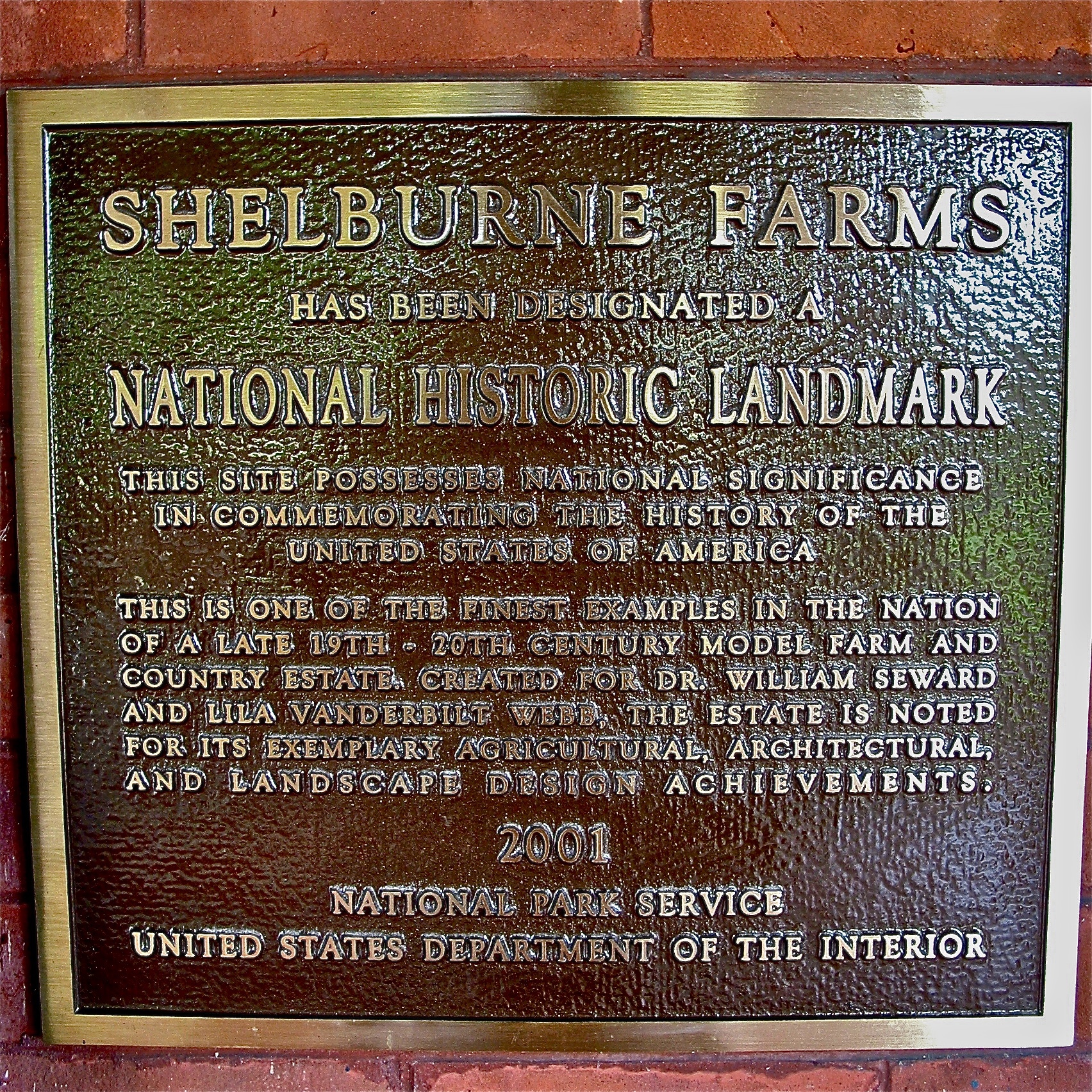
Shelburne Farms (1886) – National Historic Landmark plaque
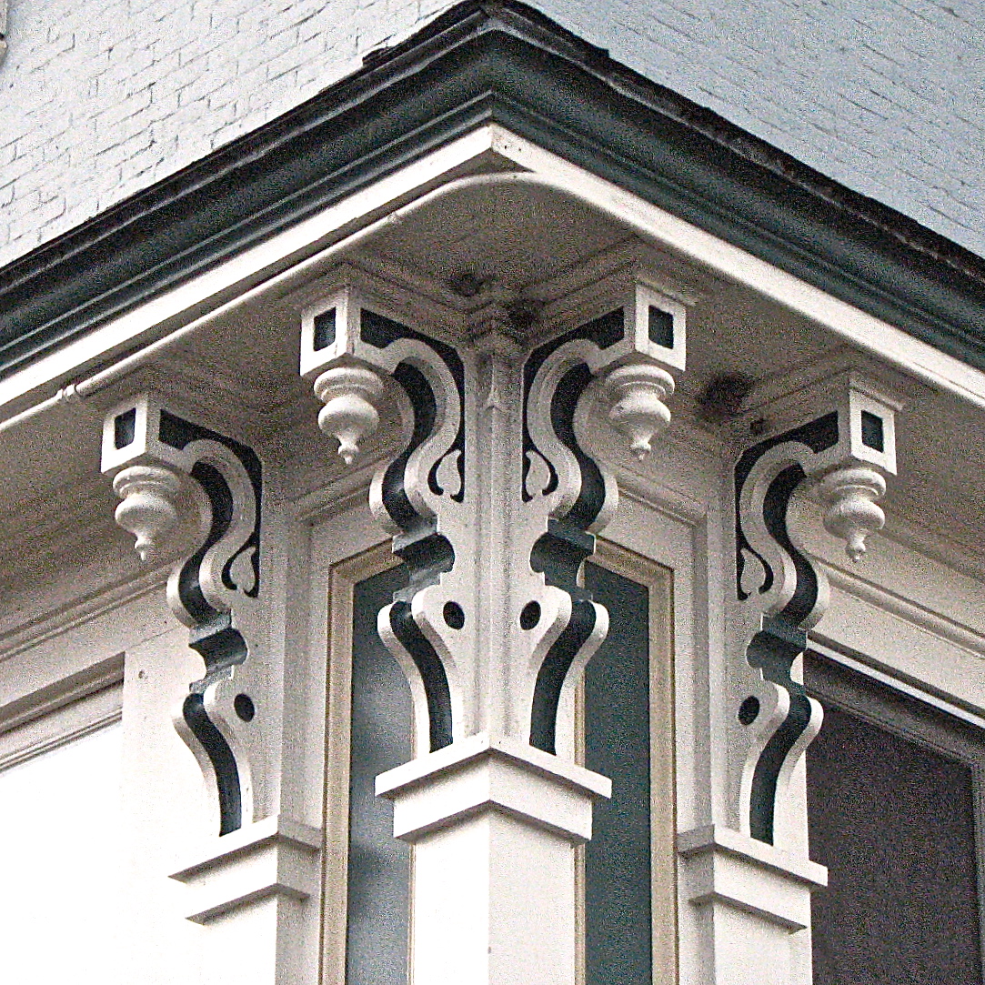
L.S. Drew Lake View House (c.1850) – corner brackets
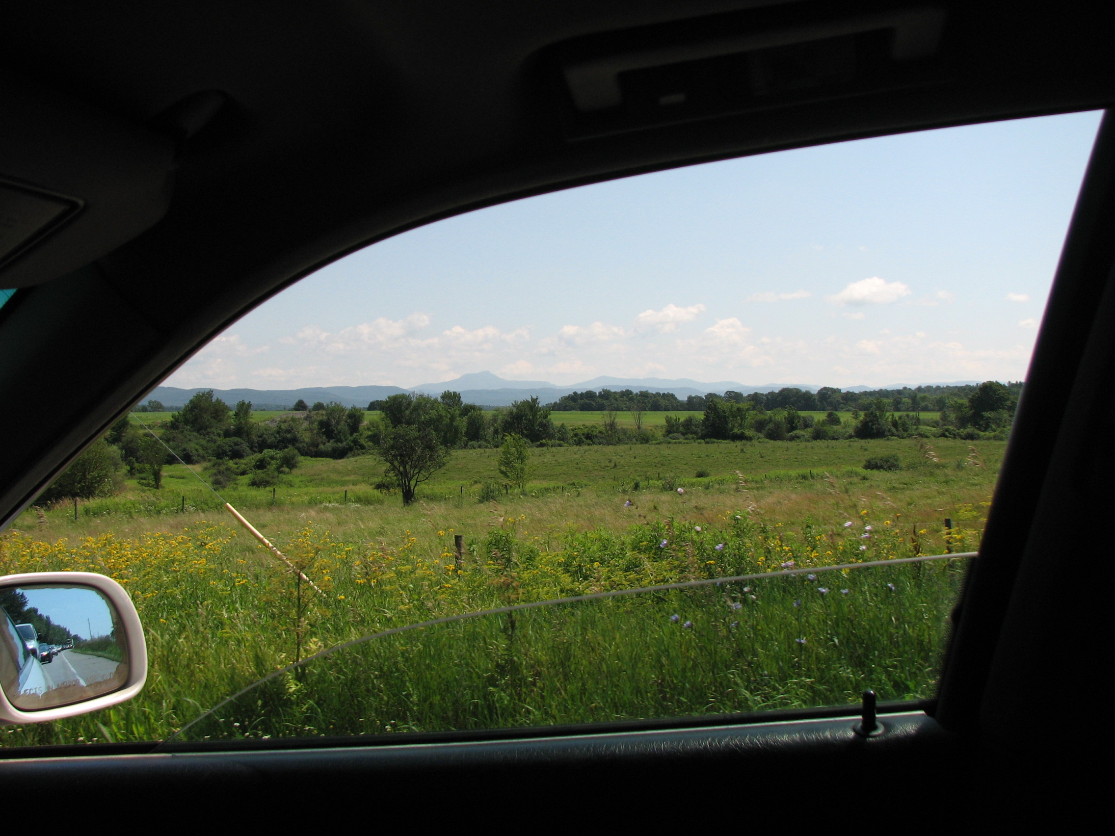
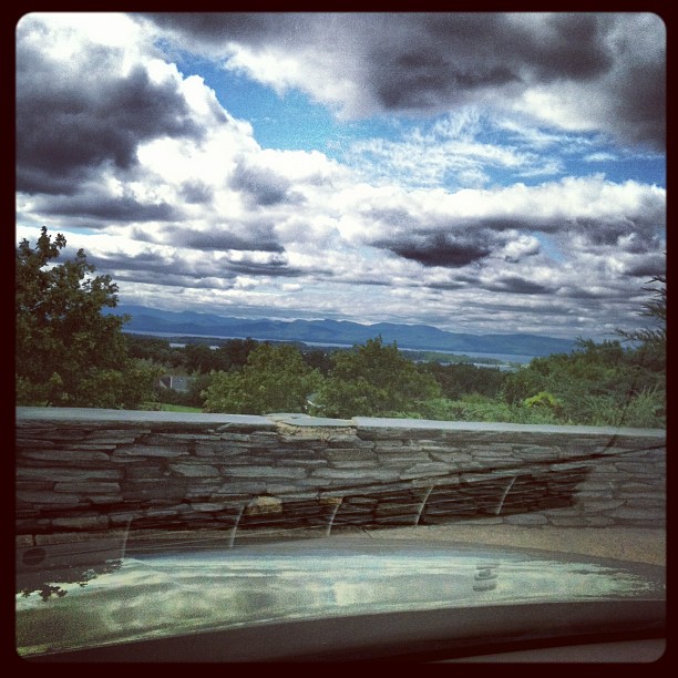
car.window • view
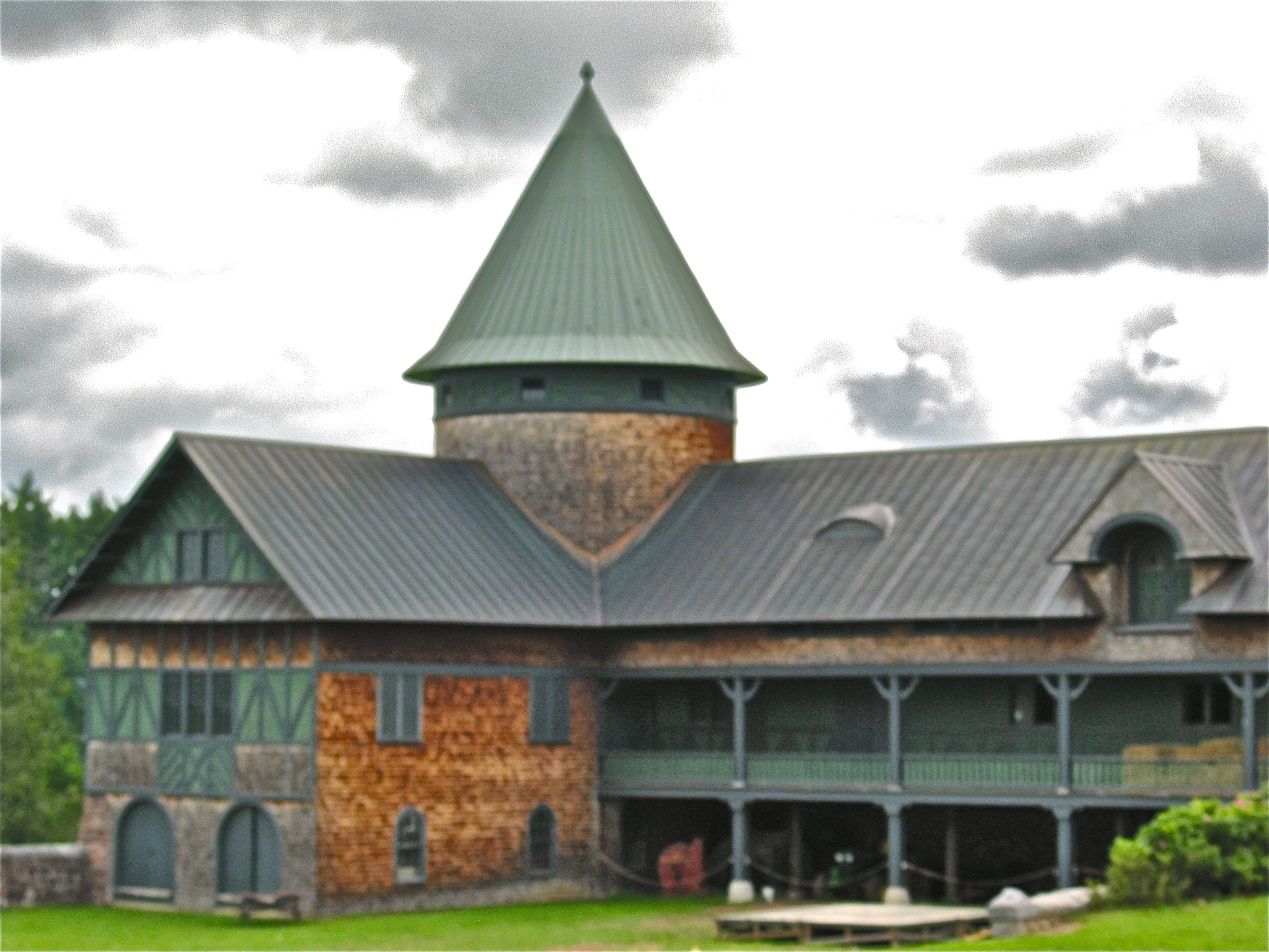
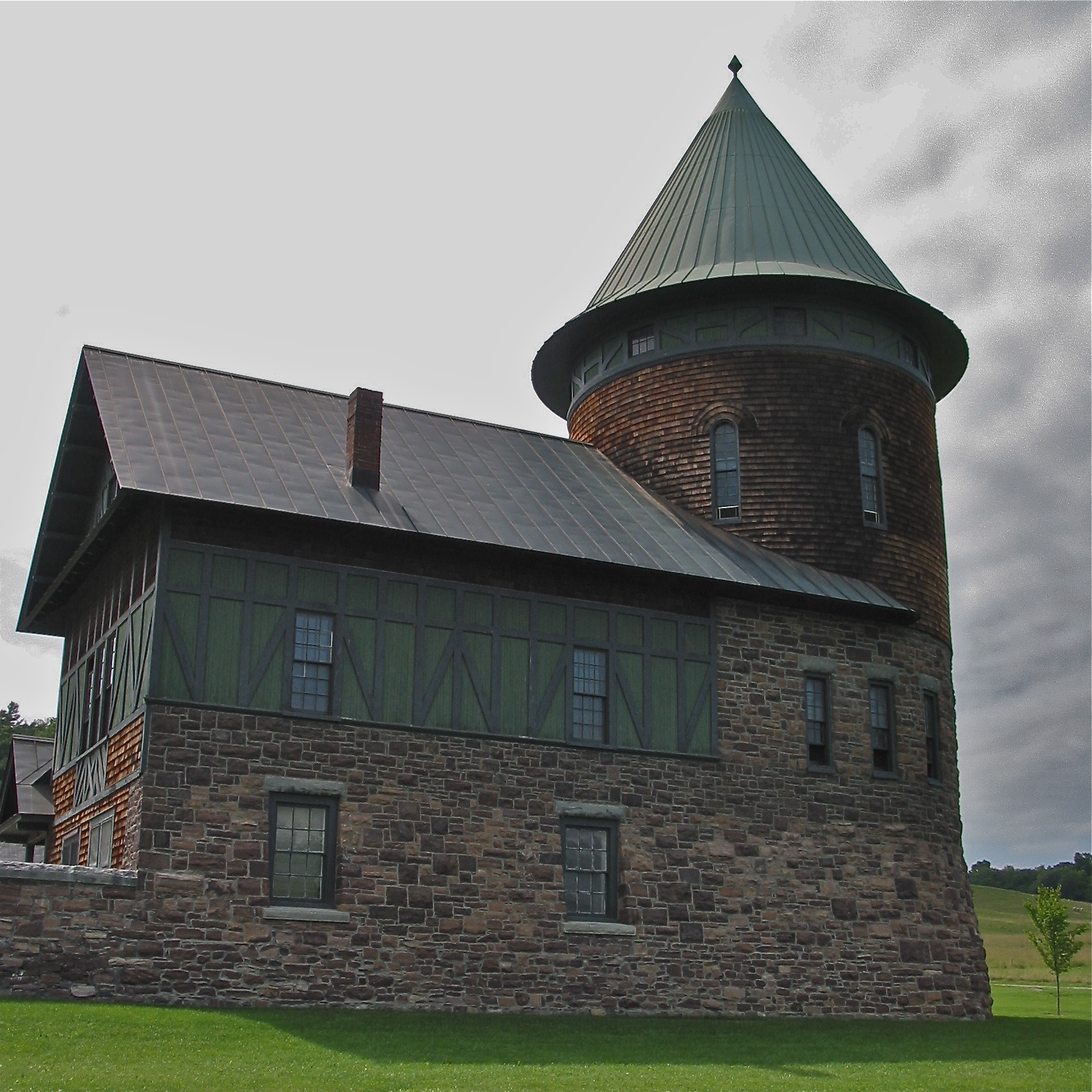
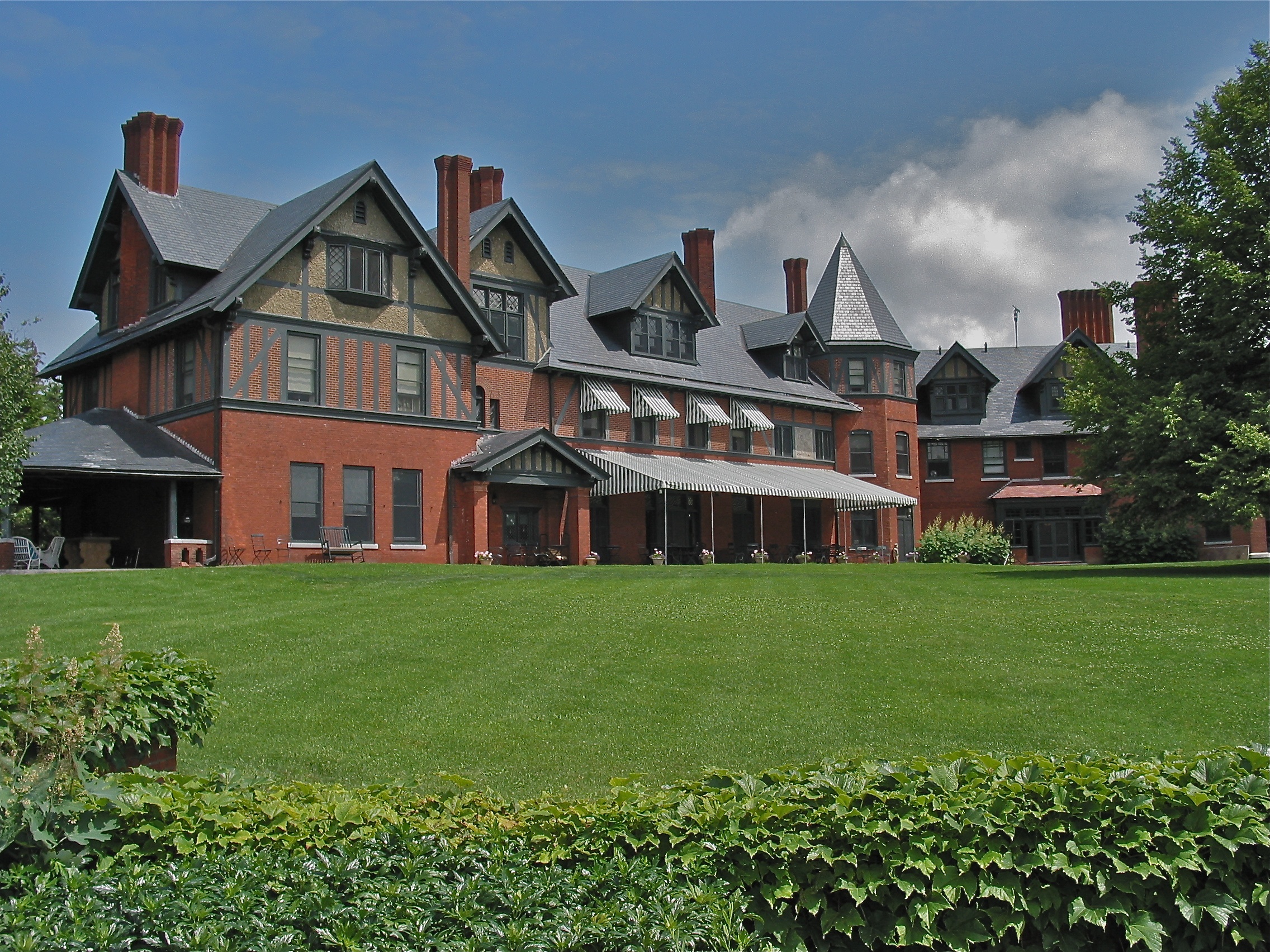
Shelburne Farms (1886) – Farm Barn (1888-90)
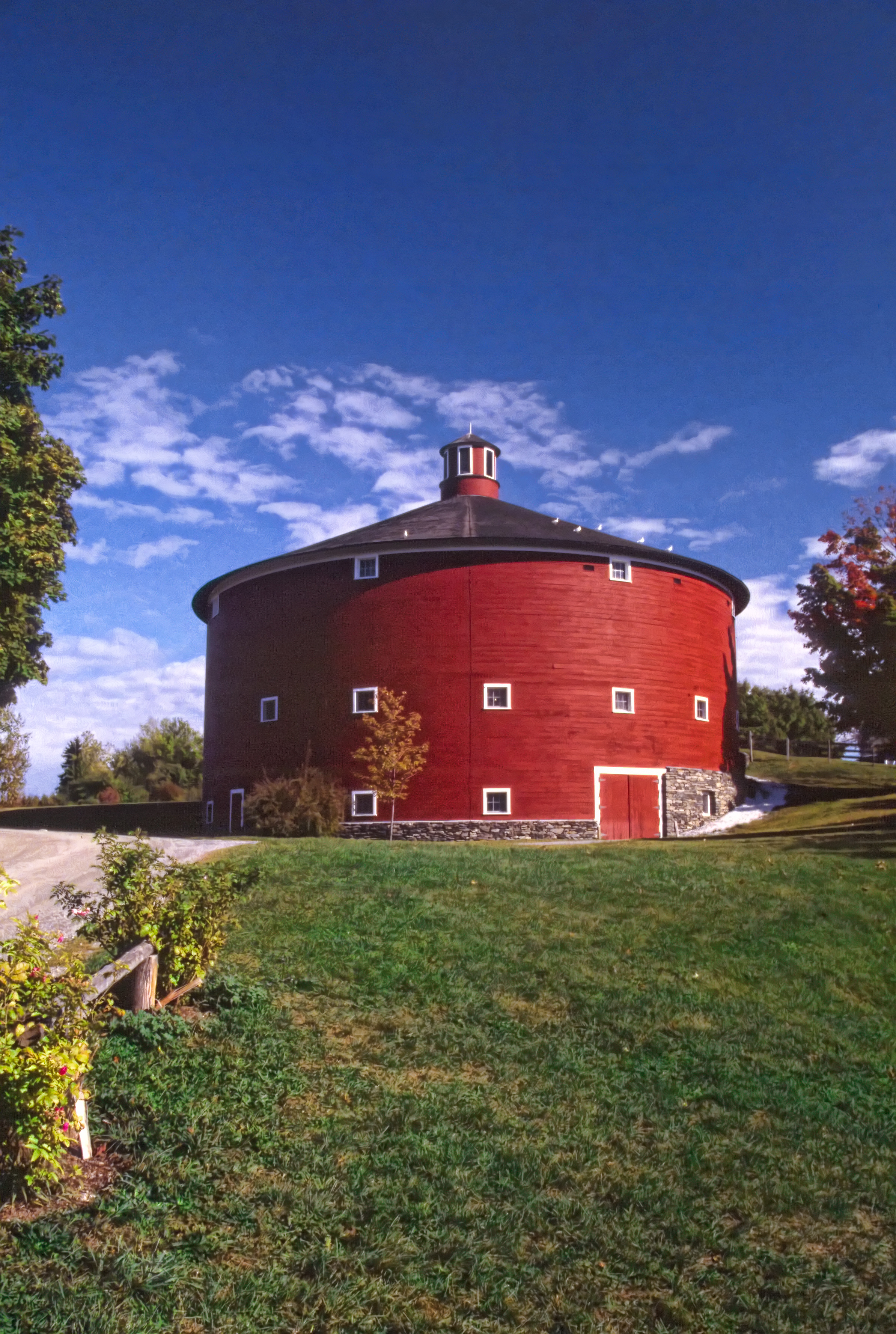
Round Barn, Shelbourne, VT
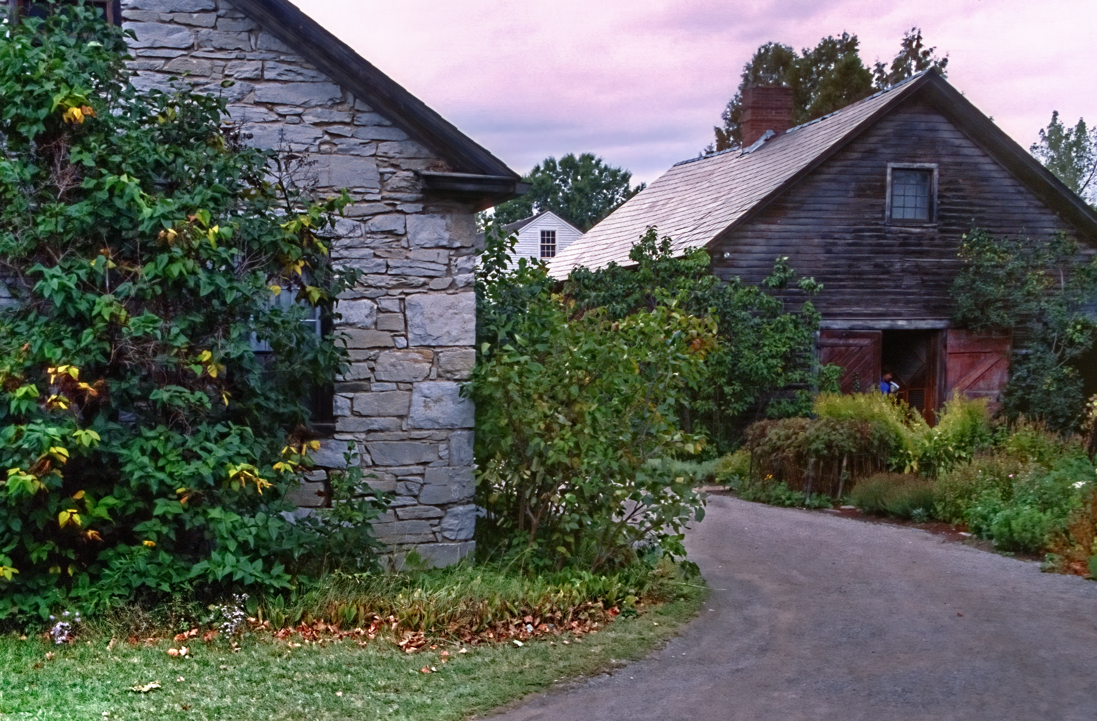
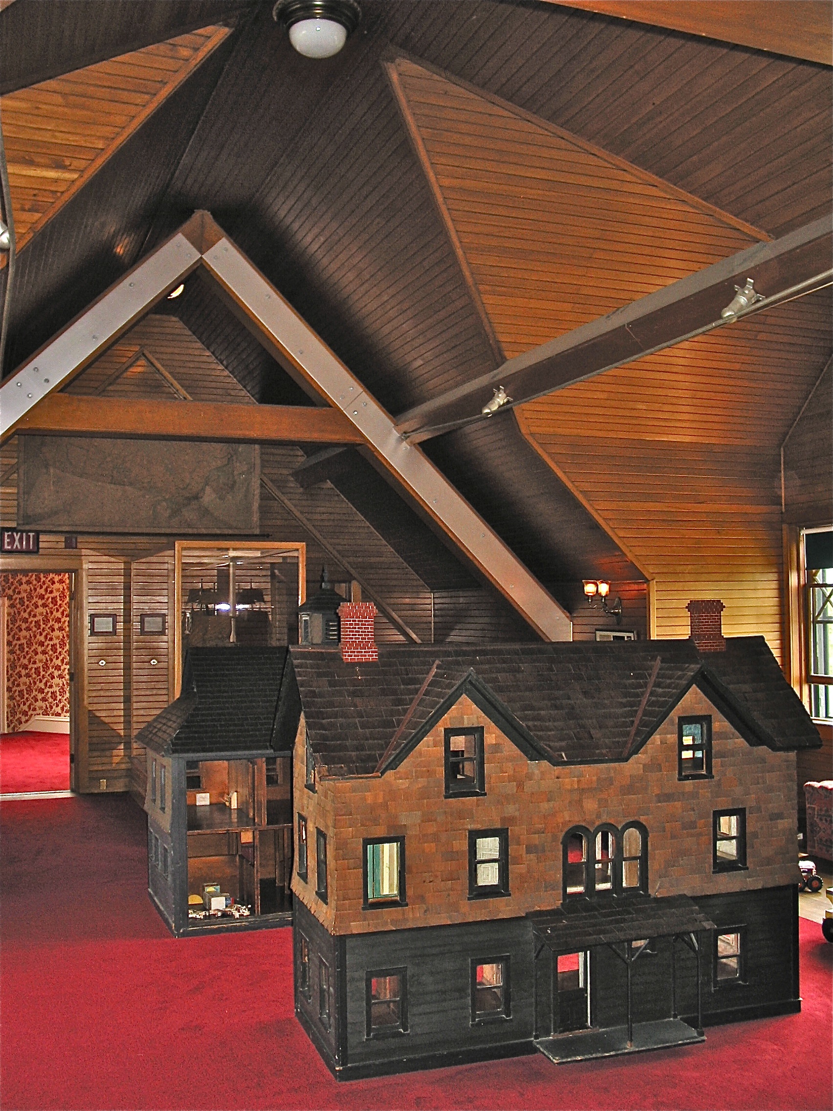
Settler's House and Barn
Shelburne Farms (1886) – Shelburne House (1899)

Shelburne Farms (1886) – Shelburne House (1899) - library
Perhaps one of my favorite go-to spots for chilling and gorgeous views.. Plus it's right near where I went to high school so I've been coming her forever. #ilovermont #vermont #southburlington #makeoutspot
Shelburne Farms (1886) – Dairy Barn (1891)
Shelburne Farms (1886) – Shelburne House (1899) - playroom

Framing the view
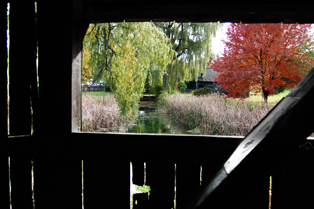
view from a bridge

Another beautiful morning in Vermont.
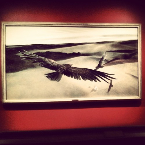
Frightening Bird's Eye View... #perspective #vantage #art #artspaces #museumspaces #museumseries Painting: "Soaring" (1950) by Andrew Wyeth (1917 - 2009)
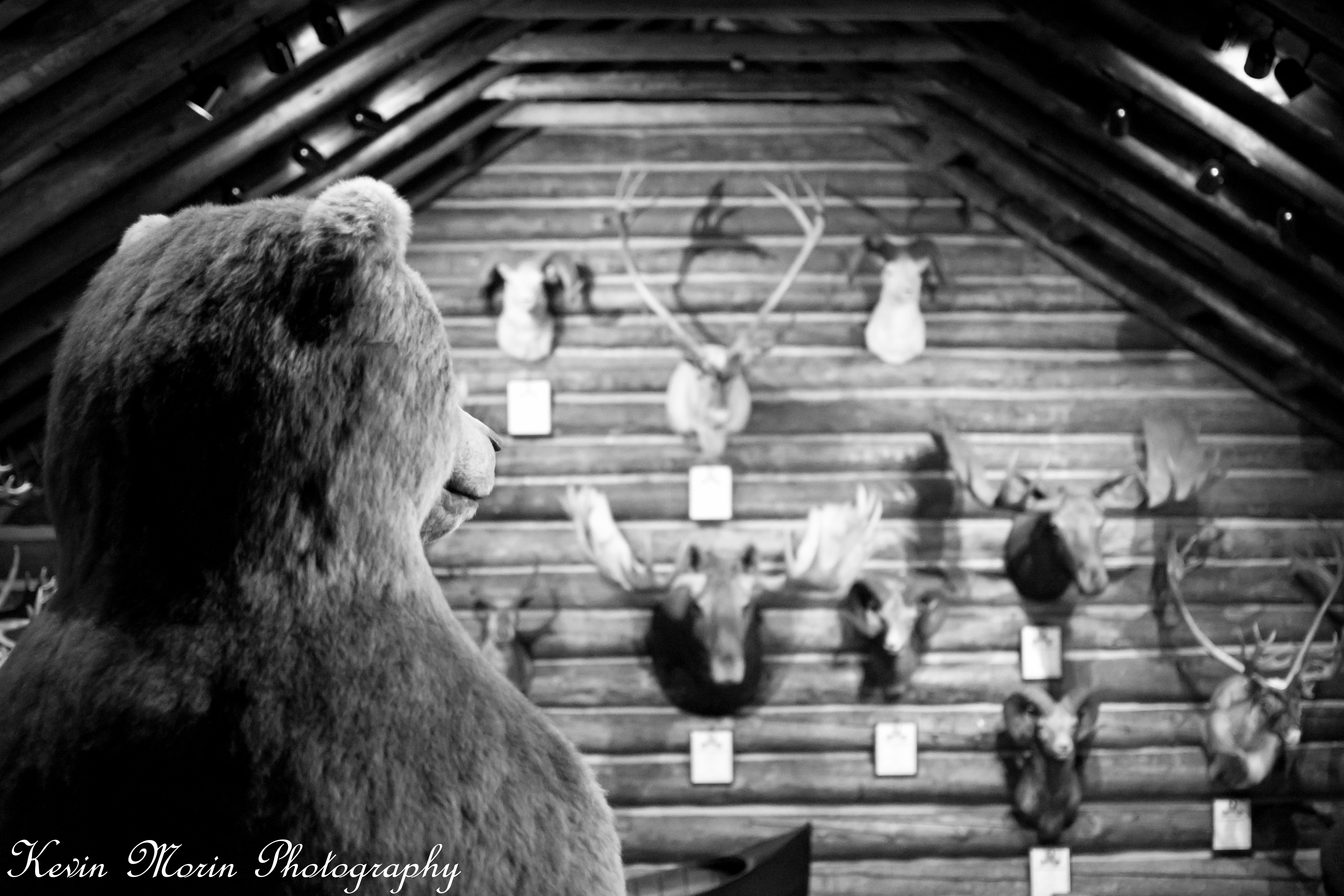
A Bears View

Lake View #btv
This morning's view
low perspective
lake ice

Puffy White Clouds
flooded field refreezing
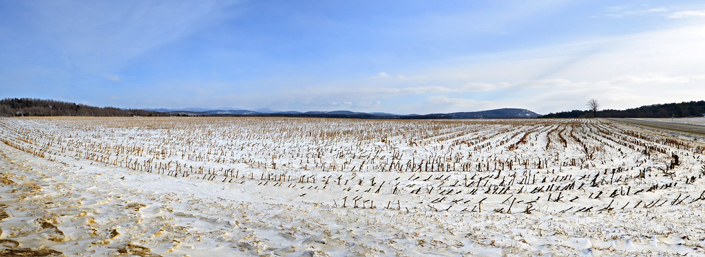
crop circle
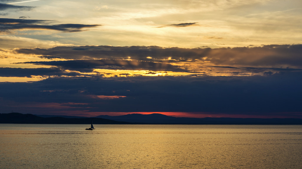
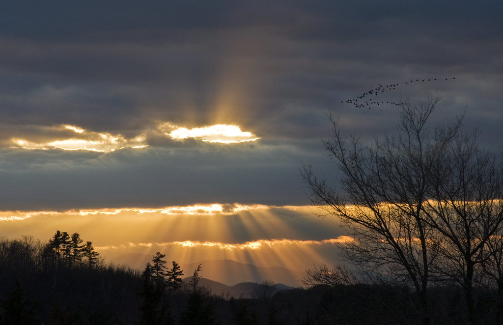
golden sunset
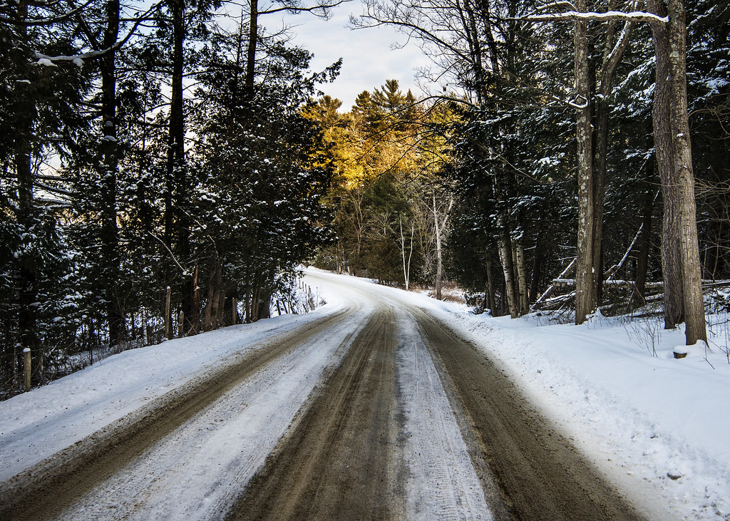
back road
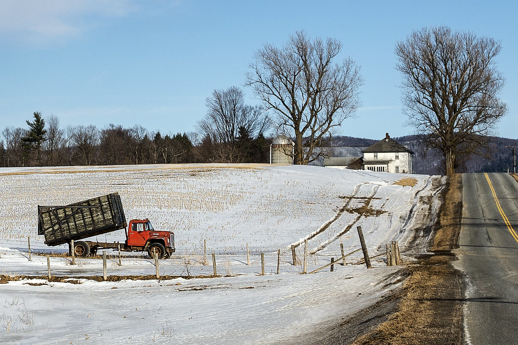
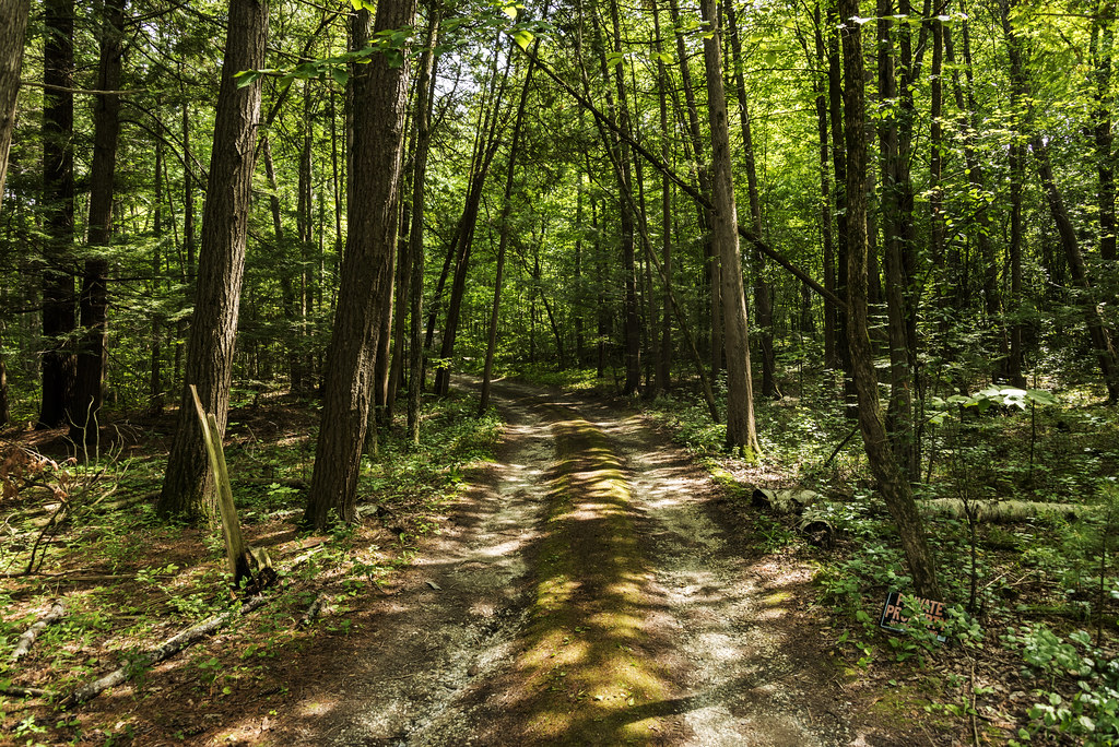
road home
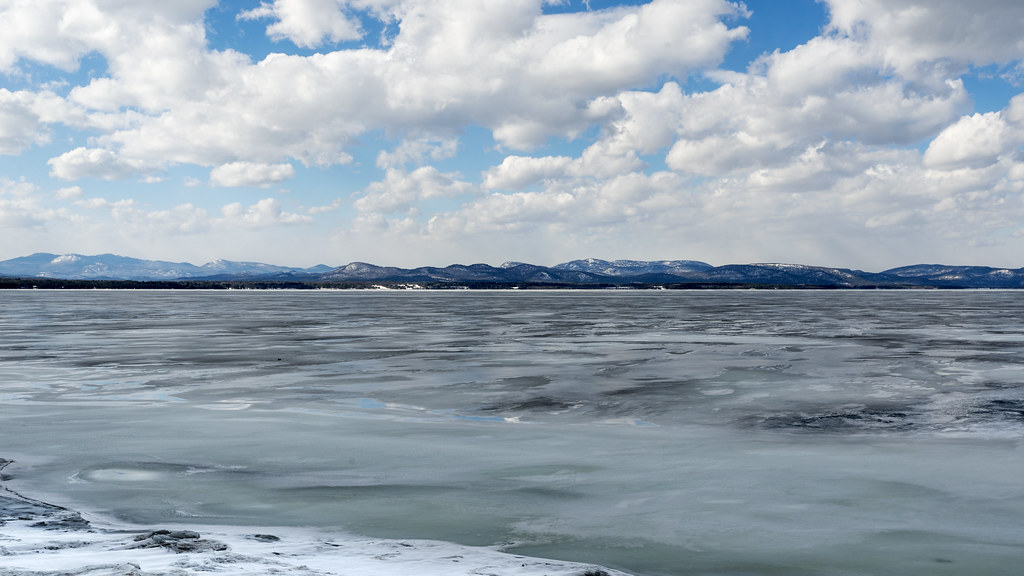
the lake, the cold and the clouds
Adirondack Vista

Clouds in Vermont
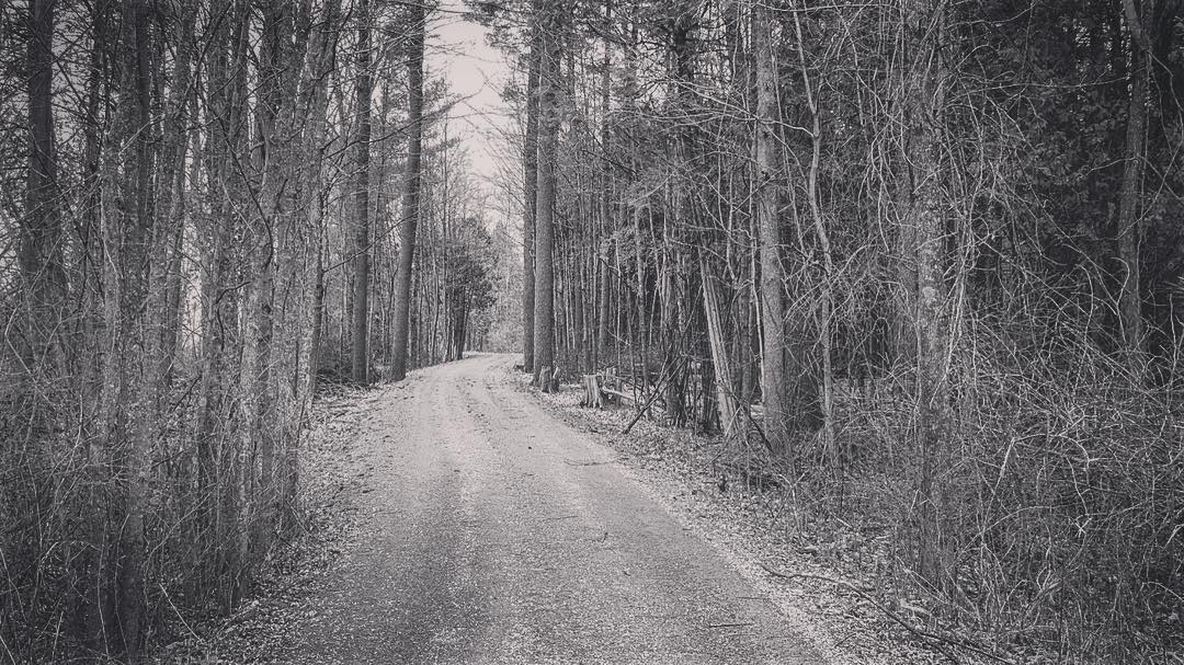
#vt #vermontlife #vermont #ferrisburgh #kingslandbay #statepark #woods #forest #countrylove #countrylife #ilovermont #bw #bwlovers
The Magic Path
Primal Dance #2

Adirondack sunset

primal dance
Flying South
Snow for Christmas

Ten Foot Clearance
Forest path
Topographic Map of Spear St, Charlotte, VT, USA
Find elevation by address:

Places near Spear St, Charlotte, VT, USA:
700 Dorset St
1450 Church Hill Rd
366 Bown Ln
76 Rivervale Rd
104 Bown Ln
16 Wildwood Ct
11 Irish Hill Rd, Shelburne, VT, USA
403 Ethan Allen Hwy
403 Ethan Allen Hwy
6000 Shelburne Rd
300 Wake Robin Dr
Shelburne
5288 Shelburne Rd
29 Harbor Rd, Shelburne, VT, USA
Charlotte
245 10 Stones Cir
565 10 Stones Cir
43 Cardinal Way
543 10 Stones Cir
521 10 Stones Cir
Recent Searches:
- Elevation of Corso Fratelli Cairoli, 35, Macerata MC, Italy
- Elevation of Tallevast Rd, Sarasota, FL, USA
- Elevation of 4th St E, Sonoma, CA, USA
- Elevation of Black Hollow Rd, Pennsdale, PA, USA
- Elevation of Oakland Ave, Williamsport, PA, USA
- Elevation of Pedrógão Grande, Portugal
- Elevation of Klee Dr, Martinsburg, WV, USA
- Elevation of Via Roma, Pieranica CR, Italy
- Elevation of Tavkvetili Mountain, Georgia
- Elevation of Hartfords Bluff Cir, Mt Pleasant, SC, USA