Elevation of Shelburne Rd, Shelburne, VT, USA

Location: United States > Vermont > Chittenden County > Shelburne >

Longitude: -73.231697

Latitude: 44.3708733

Elevation: 79m / 259feet

Barometric Pressure: 100KPa

Elevation Map:

elevation map of Shelburne Rd, Shelburne, VT, USA

Satellite Map:

Satellite map of Shelburne Rd, Shelburne, VT, USA

Related Photos:

street lake vermont sundown champlain overlook
Framing the view
landscape people couple sunset view vermont burlington contrast sky clouds sun light warm
Together at the sunset
usa brick architecture burlington square iron vermont shadows cone balcony wroughtiron slate churchstreet sq roofline vt cones conical cityview bss 1894 nationalregisterofhistoricplaces 05401 nrhp greenmountainstate commercialblock churchstreetmarketplace 4story origamidon donshall burlingtonvermontusa cshd richardsonplace churchstreethistoricdistrict burlingtonslatesurvey brickcommercialblock 07292010 southwestroofline 09000915
Richardson Place (1894) – elaborate roofline
ef100400mmf4556lisiiusm canoneos5dmarkiv markiv canon5d burlington vermont lakechamplain sunset atardecer puestadelsol tardes evening harbor boat ship skiff dock seawall view yacht
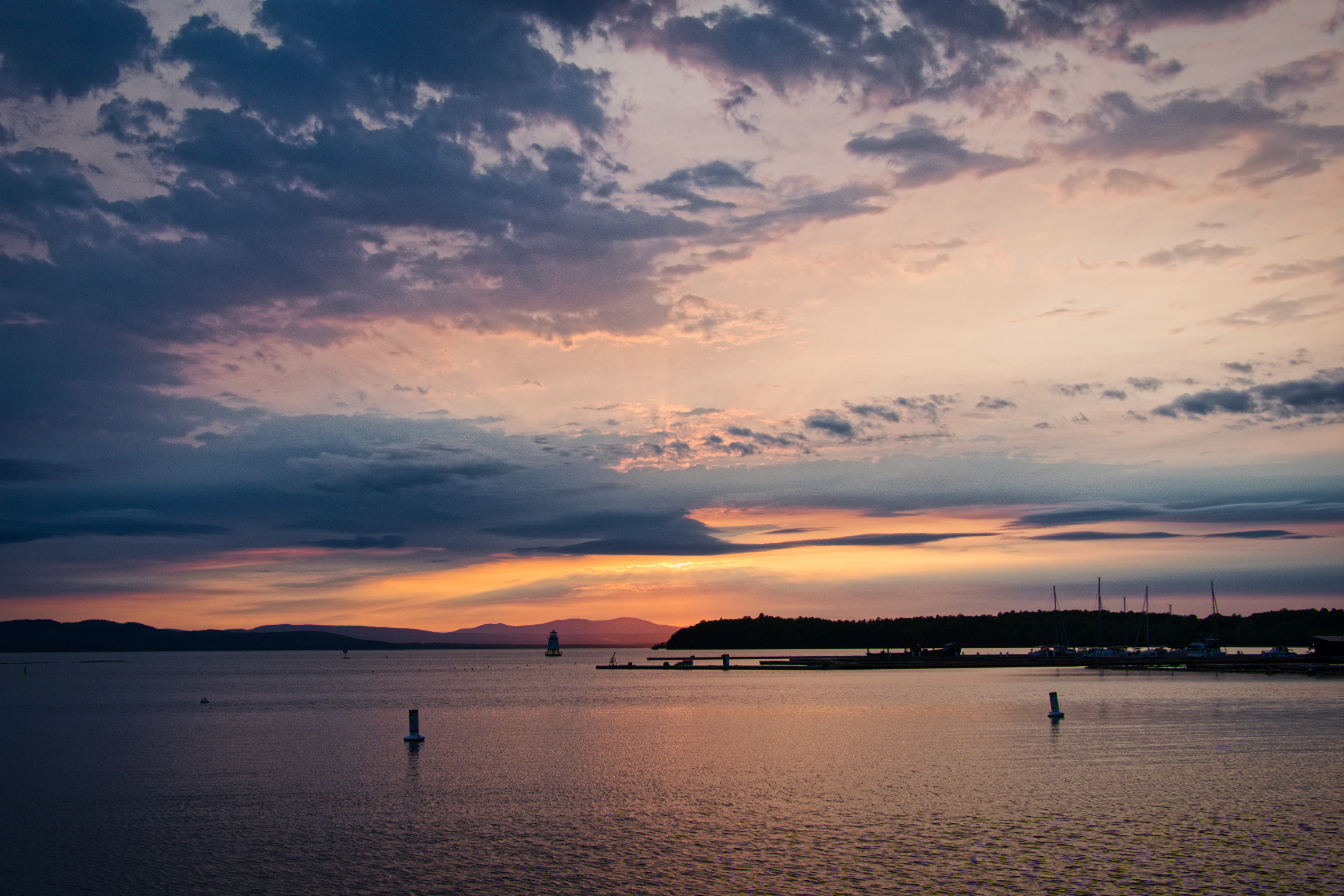
burlington harbor sunset
burlington vermont allen ethan vt lakechamplain btv
Ethan Allen Homestead
usa architecture square nhl vermont cows nps farm agriculture nationalparkservice sq vt lakechamplain shelburne 1866 giffordpinchot shelburnefarms landscapedesign nationalhistoriclandmark fredericklawolmsted cheddarcheese nationalregisterofhistoricplaces environmentaleducationcenter brownswiss nrhp superrich vermontmozartfestival chittendencounty foreststewardshipcouncil roberthendersonrobertson origamidon donshall shelburnevermontusa 01032001 greencertification lilavanderbiltwebb drwilliamsewardwebb sustainablymanagedwoodlands grassbaseddairy 80000330 08111980 exemplaryagriculturalarchitecturalandlandscapedesignachievements modelfarmandcountryestate 44°23′3169″n73°15′2604″w 44°23′3169″n 73°15′2604″w
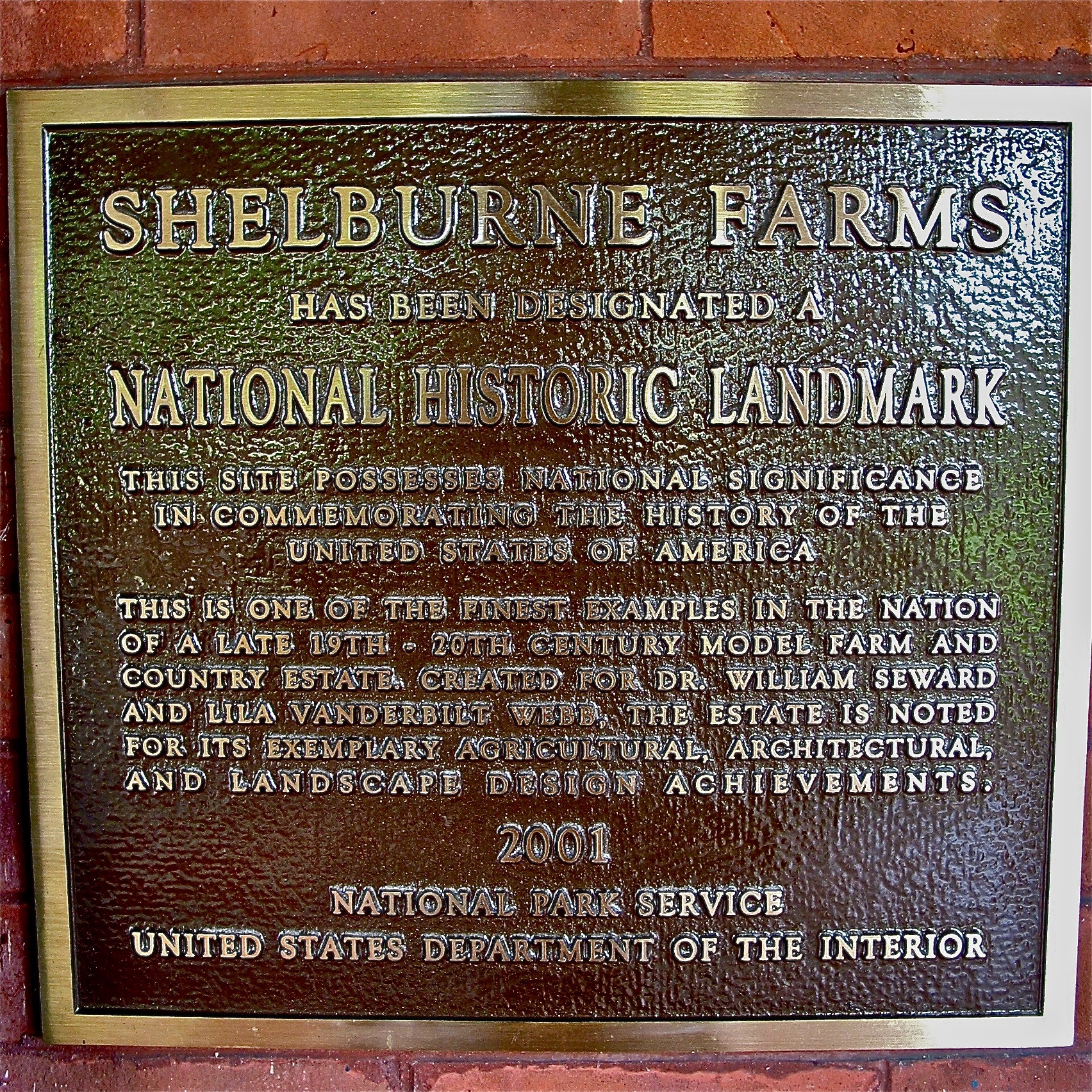
Shelburne Farms (1886) – National Historic Landmark plaque
airplane us aircraft 8 dash dash8 usairways dehavilland 400v dhc8 usairwaysexpress dehavillanddash8 d82 n906ha fv1 top100200k top100220k
US Airways Express @ BTV Burlington Airport
Dodecahedron hydrants
canon eos 30d 30 d efs 1755 17 55 f28 f 28 is usm voyage travel travelling reise vacation urlaub usa us united states america vereinigte staaten von amerika vermont shelburne museum electra havemeyer webb carousel karussell fall autumn herbst
Vermont - Shelburne Museum
burlington vermont balloon explore camels hump hotairbaloon explored
View from the Deck
wood old blue autumn red sky usa cloud building tree green fall nature beautiful field grass weather museum clouds barn rural landscape outside countryside wooden scenery colorful vermont bright outdoor farm country farming rustic grain harvest scenic meadow sunny farmland foliage round restored 100 agriculture vacations barnyard agricultural topaz shelbourne farmyard agriculturalbuildings
Round Barn, Shelbourne, VT
burlington vermont usa newengland canon canont3i t3i diner food cortijodiner sadiesdiner oasisdiner mountainviewcar 369 1954
Cortijo Diner
vintage restaurant vermont postcard pancake dualview
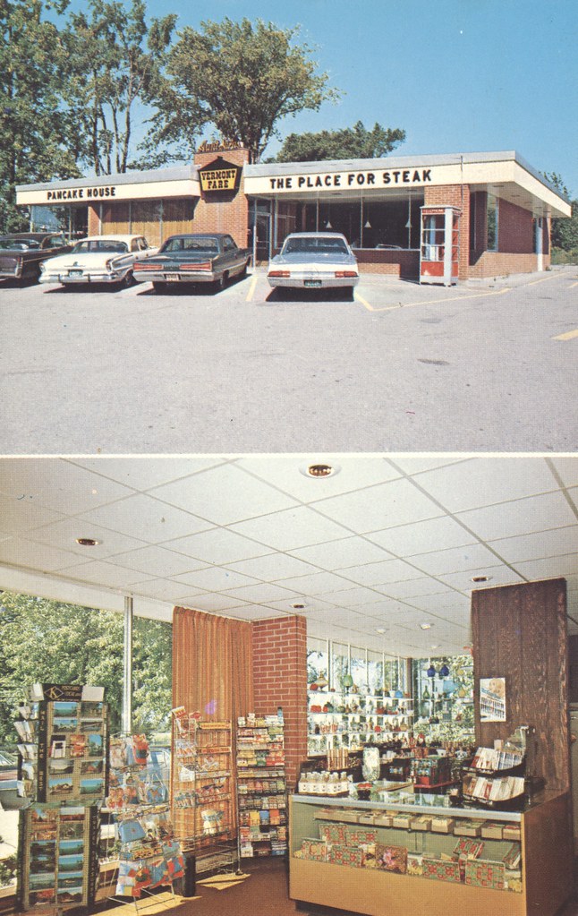
Aunt Sara's Pancake House - South Burlington, Vermont
Covered bridge @ Shelburne Museum (HFF)
burlington vermont south willie mays thecatch
The Catch
usa architecture nhl vermont cows nps farm agriculture nationalparkservice vt lakechamplain shelburne 1866 giffordpinchot shelburnefarms landscapedesign nationalhistoriclandmark fredericklawolmsted cheddarcheese nationalregisterofhistoricplaces environmentaleducationcenter brownswiss nrhp superrich vermontmozartfestival chittendencounty foreststewardshipcouncil roberthendersonrobertson origamidon donshall shelburnevermontusa 01032001 greencertification lilavanderbiltwebb drwilliamsewardwebb sustainablymanagedwoodlands grassbaseddairy 80000330 08111980 exemplaryagriculturalarchitecturalandlandscapedesignachievements modelfarmandcountryestate 44°23′3169″n73°15′2604″w 44°23′3169″n 73°15′2604″w
Shelburne Farms (1886) – Shelburne House (1899) - library
fall barn rural decay ruin shelburne shelburnefarms
Fall View
charlotte vermont fall cemetery
Eternal View
adirondack landscape mountain nature newyorkstate unitedstates upstate us usa licensed dreamstime shutterstock shutter
Adirondack mountains viewed from Vermont
newengland vermont chittendencounty shelburne shelburnemuseum museums barns newenglandbarns stonework stonewalls flowersandplants roses crookedtrees benches september2017 september 2017 canon16354l side
Turkey Face-off - and a Bench for Viewing
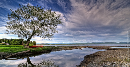
sky newyork tree beach nature water clouds reflections landscape michael nikon vermont charlotte canoe micha adirondack lonelytree lakechamplain schaefer d300 2011 ptf charlottevermont theredcanoe doublyniceshot doubleniceshot tripleniceshot
The Red Canoe
vermont sail sailboat sailing lake champlain boat boating landscape mountain water lakechamplain
Sailing Lake Champlain
canoneos5dmarkiv ef100400mmf4556lisiiusm ferry burlington vt canon ny lakechamplain harbor litehouse lighthouse markerlight water summer boat deck
burlington harbor light
northlight ice lakechamplain moon stars winter
Moon over North Light
snow tree barn rural landscape vermont charlotte
behind the road
northlight adirondacks lakechamplain sunset winter
Blue Hour, North Light
landscape sunset sky clouds lake water colors warm vermont burlington
Sunset over Lake Champlain
flyingmonkey monkey wizardofoz hdr highdynamicrange photography blackandwhite d850 nikon handheld sculpture burlington vt vermont creepy scary metal on1pics
Flying Monkey
North Light, Golden Hour, Crop
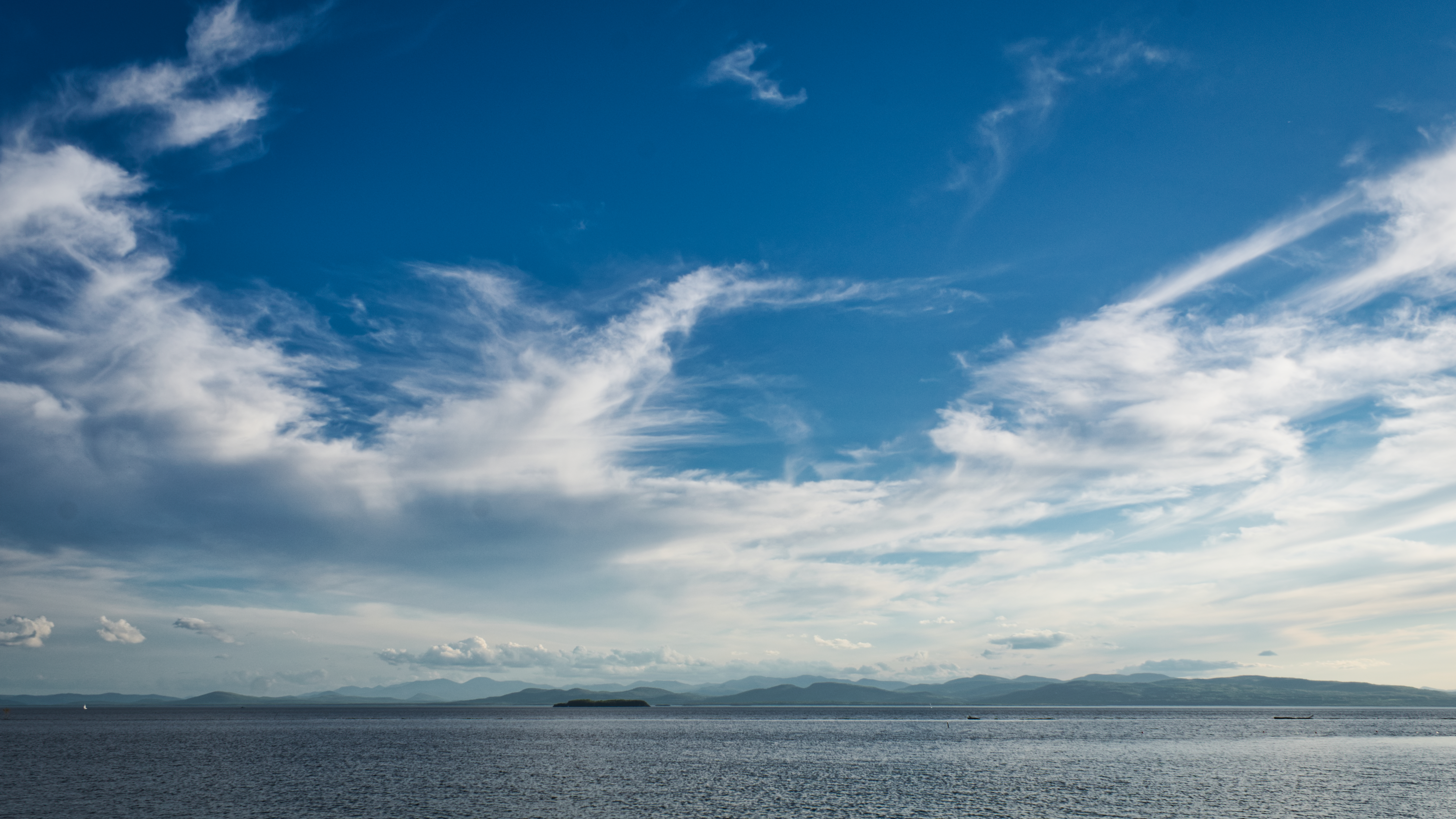
water sky lake vermont burlington clouds landscape
Lake Champlain
newengland vermont chittendencounty parks stateparks vtstateparks lakesandponds lakechamplain mountainviews rural barns fields cloudyskies september2017 september 2017 canon24704l
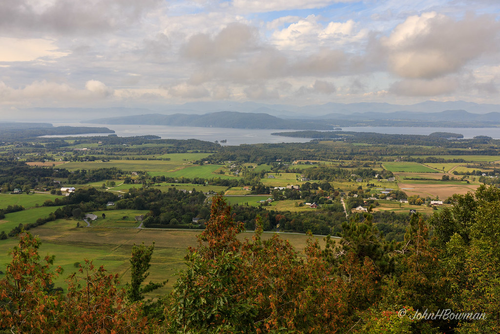
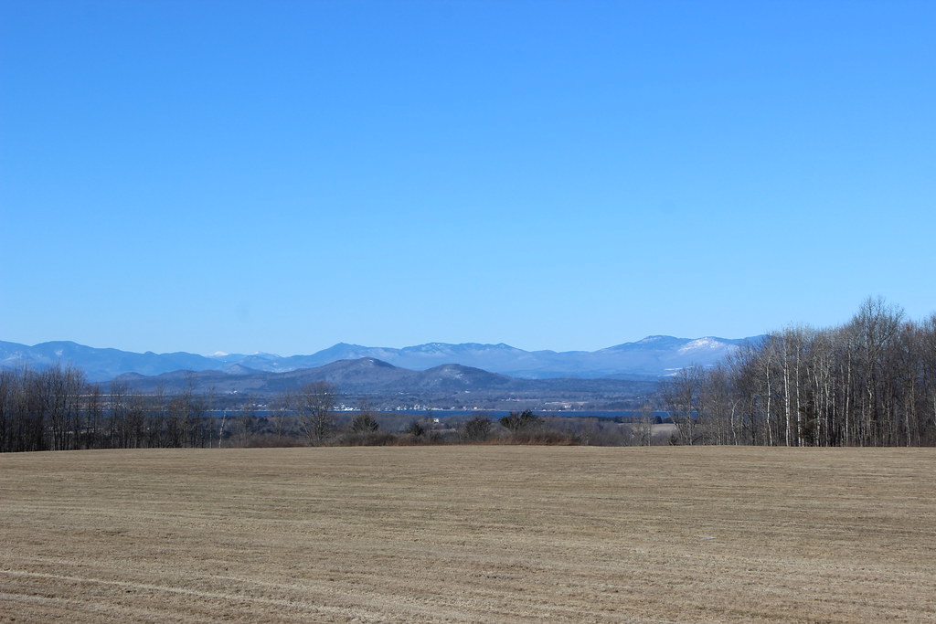
View from Mount Philo
zeiss carlzeiss batis 18mm sony a7rii burlington vermont vt lake champlain dock blackwhite highcontrast longexposure explore travel photograph landscape luminar skylum
Lake Champlain, VT
abandoned shoppingcenter kmart clouds landscape building parkinglot blackandwhite monochrome bw nikon d610 1635f4vr shelburne vermont vt unitedstatesofamerica usa fav10 fav25
Abandoned Kmart Pano
red burlington rocks vermont south topshots worldwidelandscapes natureselegantshots panoramafotográfico thebestofmimamorsgroups theoriginalgoldseal
Forest path
andygocher usa vt vermont landscape iphone 6s sky panorama lake champlain
Mt Philo panorama - Lake Champlain
hinesburg vermont landscape office
in the weeds
trees woods vermont charlotte path
The Magic Path
Winooski, Tree, Fall