Elevation of Spalding Township, MN, USA

Location: United States > Minnesota > Aitkin County >

Longitude: -93.255594

Latitude: 46.5664259

Elevation: 385m / 1263feet

Barometric Pressure: 97KPa

Elevation Map:

elevation map of Spalding Township, MN, USA

Satellite Map:

Satellite map of Spalding Township, MN, USA

Related Photos:

minnesota master naturalist long lake conservation center llcc aitkin county palisade minn mn university extension course class education certification certificate outdoors nature north woods great lakes biome northwoods forest forestry field ecology biology department natural recources dnr winter week wonders martha decker kimberly schoolhouse school house abandoned crumbling historic district pentax k30 tamron 18200 zoom lens
Class Dismissed!
An all time Favorite of mine a 1950 Chevy Bel Air hardtop
minnesota sign architecture depot sooline mcgregor
Soo Line Depot - McGregor, Minnesota
From the Rope Swing
minnesota master naturalist long lake conservation center llcc aitkin county palisade minn mn university extension course class education certification certificate outdoors nature north woods great lakes biome northwoods forest forestry field ecology biology department natural recources dnr winter week wonders martha decker kimberly schoolhouse school house abandoned crumbling historic district pentax k30 tamron 18200 zoom lens
Kimberly Schoolhouse
dakota ojib ojibwe millelacsbandojibwe whiteearthnation honortheearth winonaladuke treatyrights wildrice enbridge pipelines tar sands sandpiper
Honor the Earth
dakota ojib ojibwe millelacsbandojibwe whiteearthnation honortheearth winonaladuke treatyrights wildrice enbridge pipelines tar sands sandpiper
Honor the Earth
dakota ojib ojibwe millelacsbandojibwe whiteearthnation honortheearth winonaladuke treatyrights wildrice enbridge pipelines tar sands sandpiper
Honor the Earth
dakota ojib ojibwe millelacsbandojibwe whiteearthnation honortheearth winonaladuke treatyrights wildrice enbridge pipelines tar sands sandpiper
Honor the Earth
minnesota landscape us scenery unitedstates habitat aitkincounty
south of McGregor Marsh
minnesota landscape us scenery unitedstates birding habitat aitkincounty
Rice Lake NWR
minnesota august sna 2014 mndnr mcgregormarshsna
Mcgregor Marsh SNA
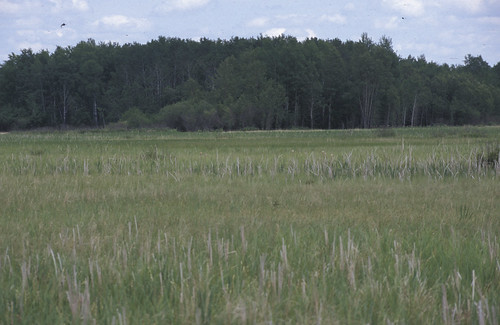
minnesota birds rails grassland bog mn saxzim buntingssparrowsandallies
McGregor Marsh, yellow rail and nelson's sharp-tailed sparrow habitat, Sax Zim Bog, MN, 1998_06_13.jpg
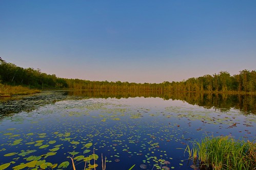
Boreal Lake
tree fall minnesota scenery fallcolor bog mcgregor
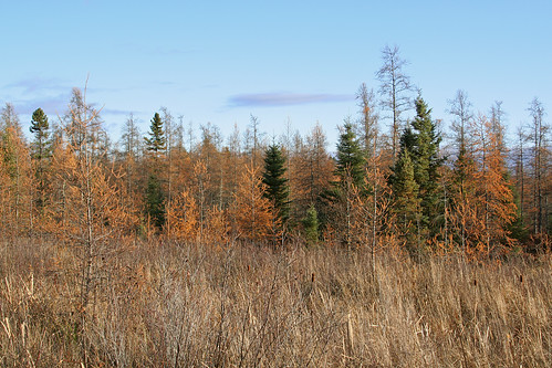
In a Tamarack Bog
enbridge winonaladuke pipelines ojibwe dakota treatyrights wildrice millelacsbandojibwe
Honor the Earth - LoveWaterNotOil
square squareformat iphoneography instagramapp uploaded:by=instagram foursquare:venue=4b771bd8f964a5204d7e2ee3
Sunset #cpbc #covenantpines #sunset #lake #upnorth #exploremn #exploreminnesota #mnstagram #minnstagram
dakota ojib ojibwe millelacsbandojibwe whiteearthnation honortheearth winonaladuke treatyrights wildrice enbridge pipelines tar sands sandpiper
Honor the Earth
Triple Point
Sunset on Minnewawa
winter minnesota
CRW_4989-01
McGregor, MN
Symmetry at Sunset