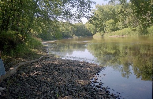
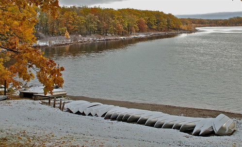
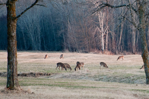
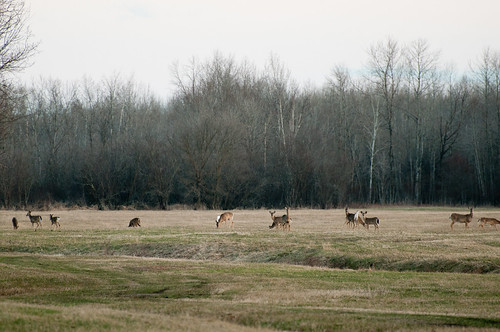
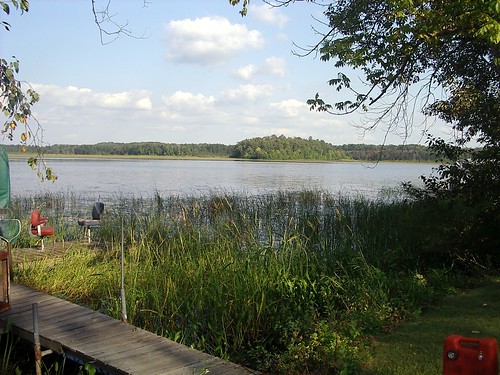
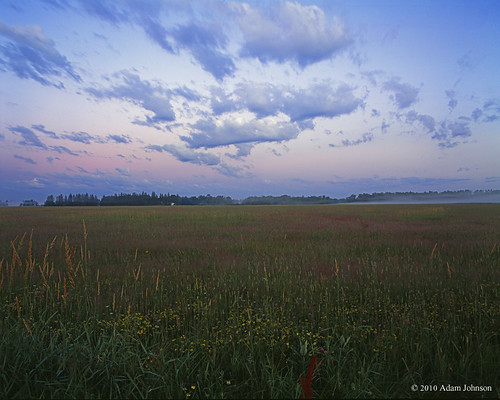
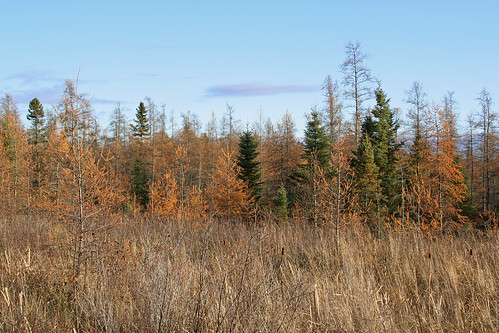
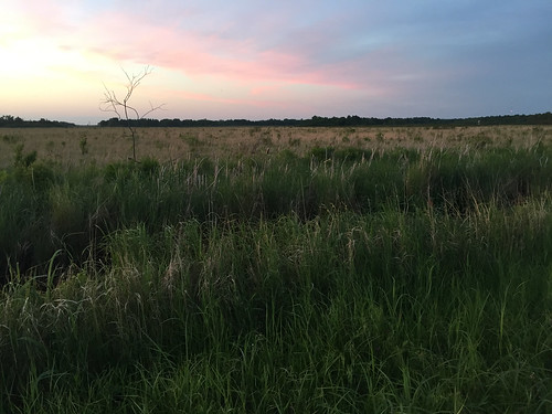
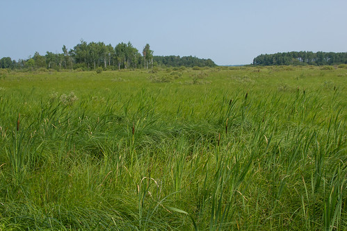
Elevation map of Aitkin County, MN, USA
Location: United States > Minnesota >
Longitude: -93.453669
Latitude: 46.6185433
Elevation: 386m / 1266feet
Barometric Pressure: 97KPa
Related Photos:
Topographic Map of Aitkin County, MN, USA
Find elevation by address:

Places in Aitkin County, MN, USA:
Places near Aitkin County, MN, USA:
Palisade
Cook St, Palisade, MN, USA
33490 310th Pl
Mcgregor
21377 380th Ln
Glen Township
Spalding Township
18714 380th St
24 2nd St Ne
21 1st St NW, Aitkin, MN, USA
Aitkin
42287 432nd Ln
27331 Stark Lake Rd
NW Ione Ave, Hill City, MN, USA
Deerwood Township
Beulah Township
County Rd 58 NE, Outing, MN, USA
Deerwood
Main St, Deerwood, MN, USA
Cuyuna
Recent Searches:
- Elevation of Corso Fratelli Cairoli, 35, Macerata MC, Italy
- Elevation of Tallevast Rd, Sarasota, FL, USA
- Elevation of 4th St E, Sonoma, CA, USA
- Elevation of Black Hollow Rd, Pennsdale, PA, USA
- Elevation of Oakland Ave, Williamsport, PA, USA
- Elevation of Pedrógão Grande, Portugal
- Elevation of Klee Dr, Martinsburg, WV, USA
- Elevation of Via Roma, Pieranica CR, Italy
- Elevation of Tavkvetili Mountain, Georgia
- Elevation of Hartfords Bluff Cir, Mt Pleasant, SC, USA
