Elevation of Southgate SideRoad 49, Mount Forest, ON N0G 2L0, Canada
Location: Canada > Ontario > Wellington County > Wellington North > Mount Forest >
Longitude: -80.677529
Latitude: 44.0258518
Elevation: 452m / 1483feet
Barometric Pressure: 96KPa
Elevation Map:
Satellite Map:
Related Photos:
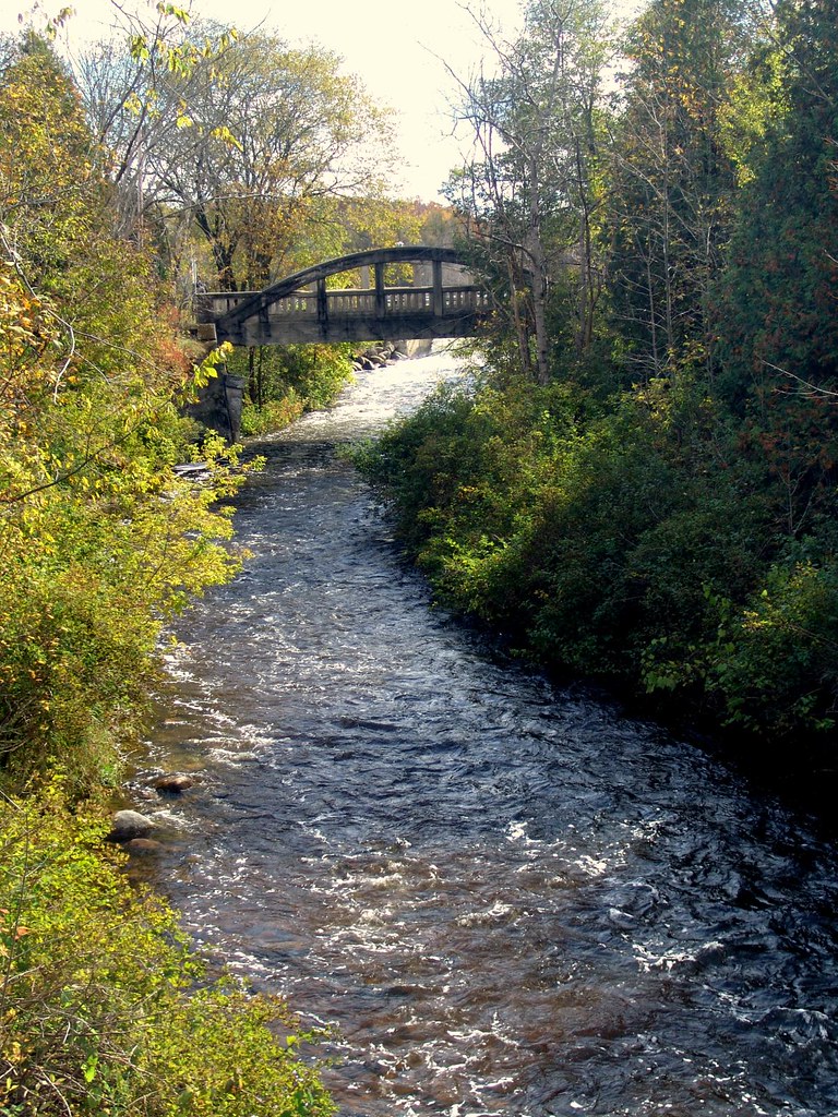
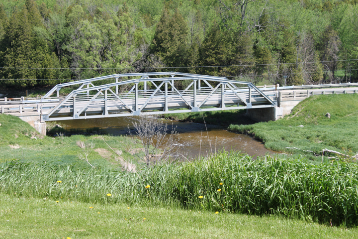
Bridge at Orchardville (Holstein), Ontario
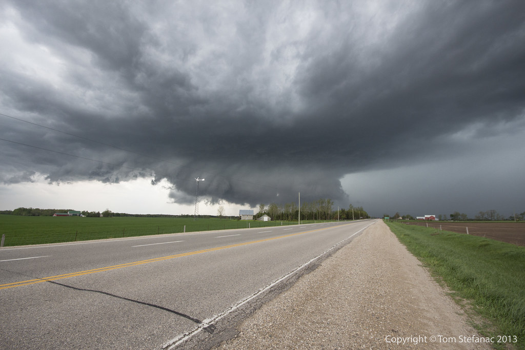
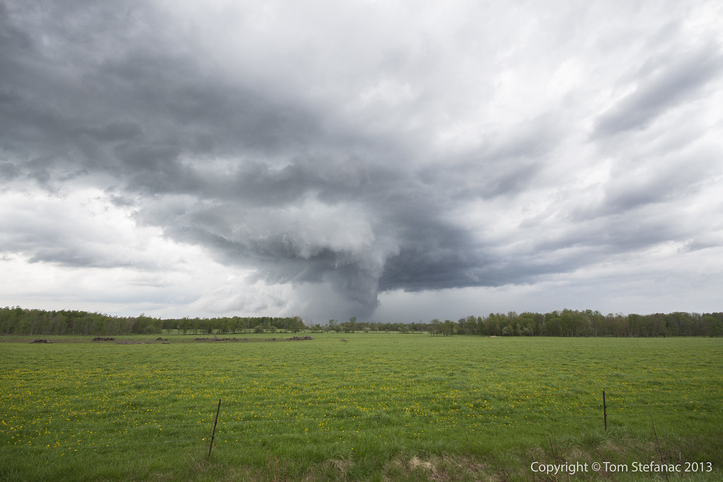
Supercell & Wall Cloud
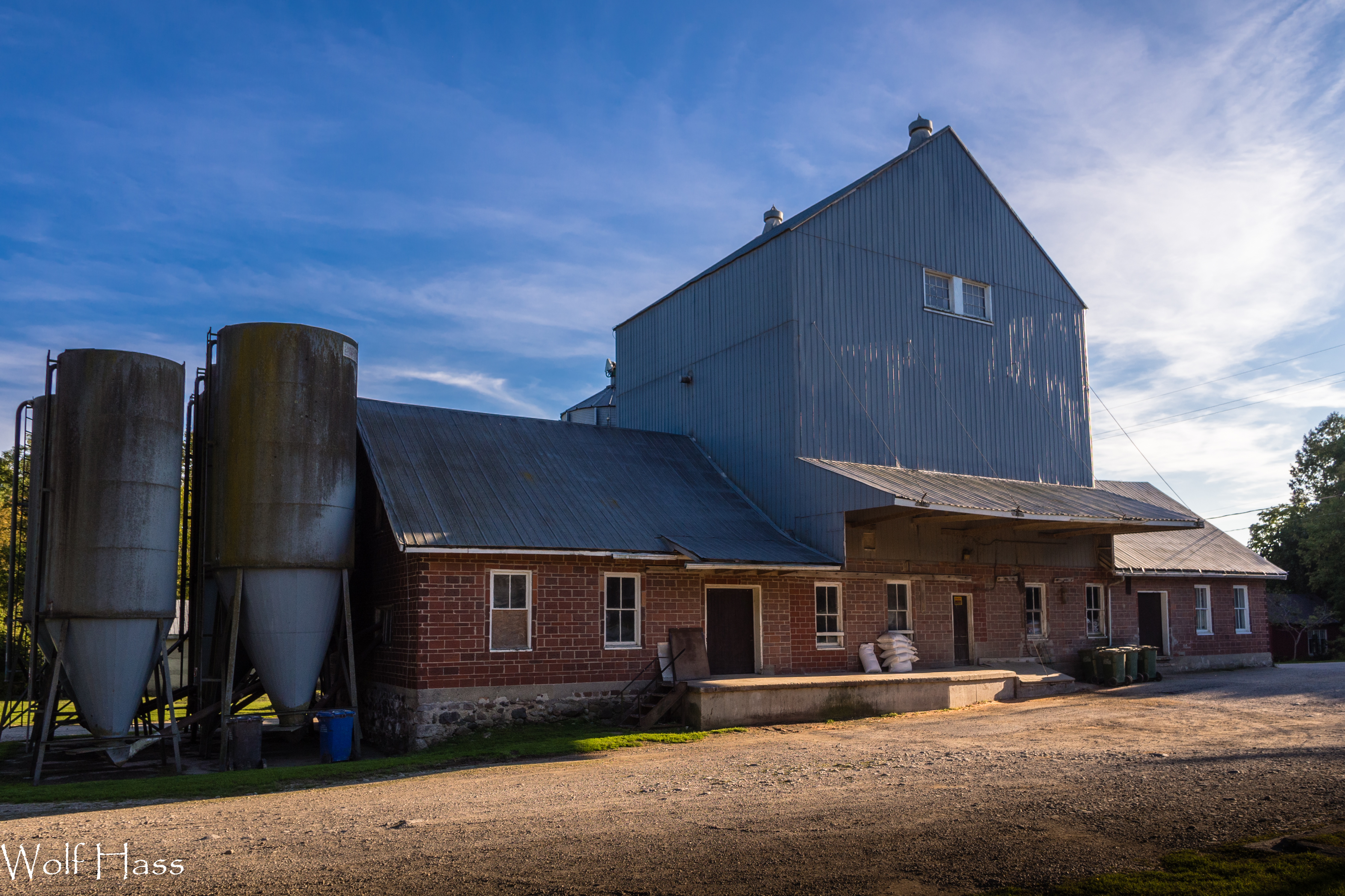
Holstein Mill.jpg
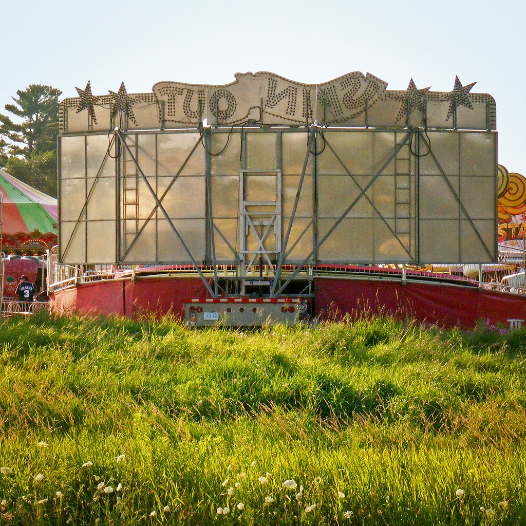
Spin Out Back

Car Show Crowd 1
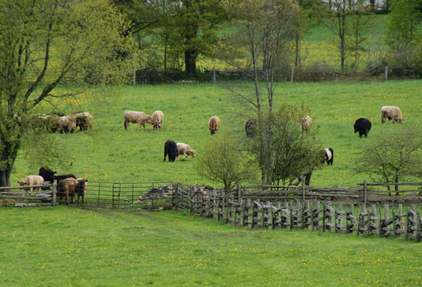
2011-05-21_Grass Fed Beef
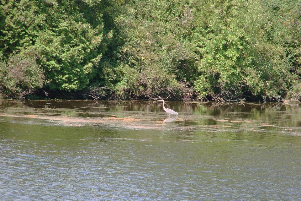
Our View
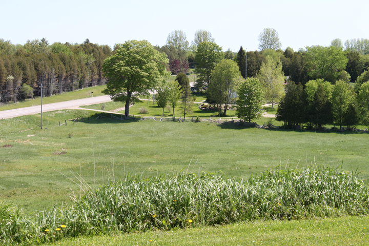
Our View
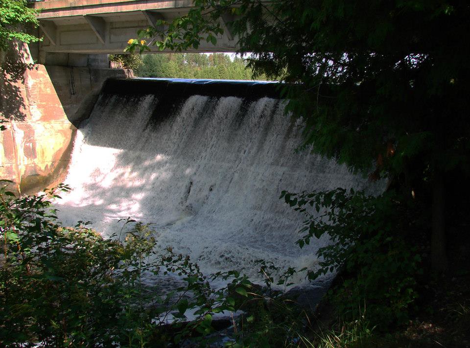
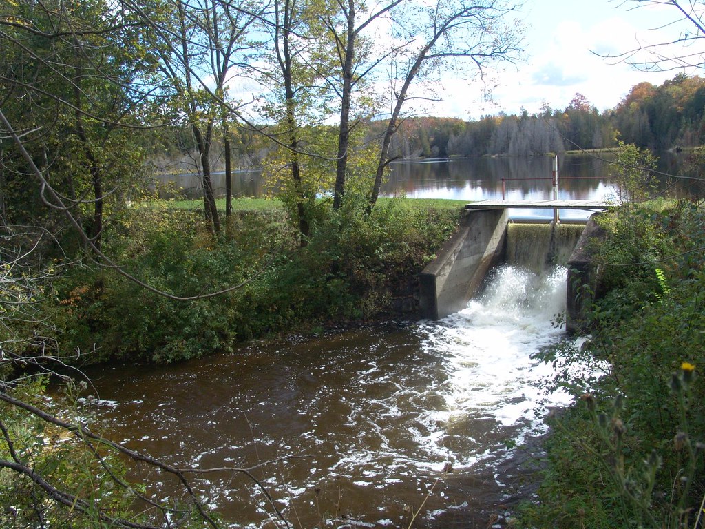
Dam View
Reservoir View
Reservoir View
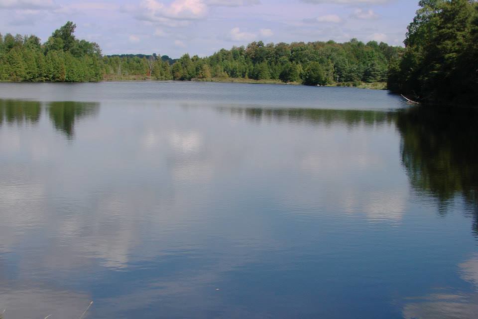
Reservoir View
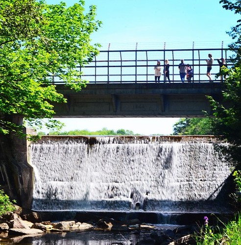
Front View Dam

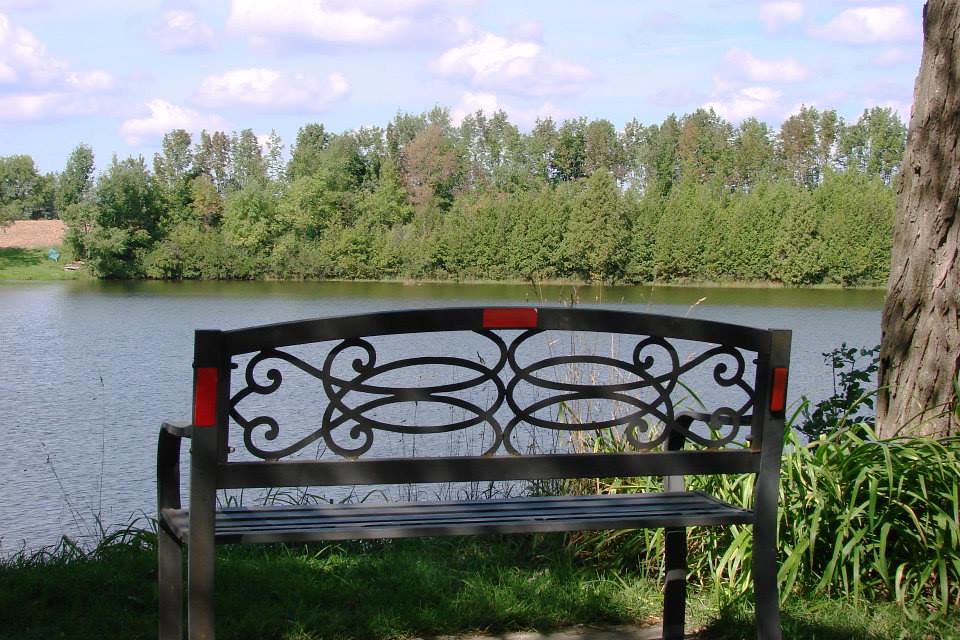
Rural scene from Southgate (xplrd)
Sideroad 47
Wall Cloud Cycling
Dam Colours
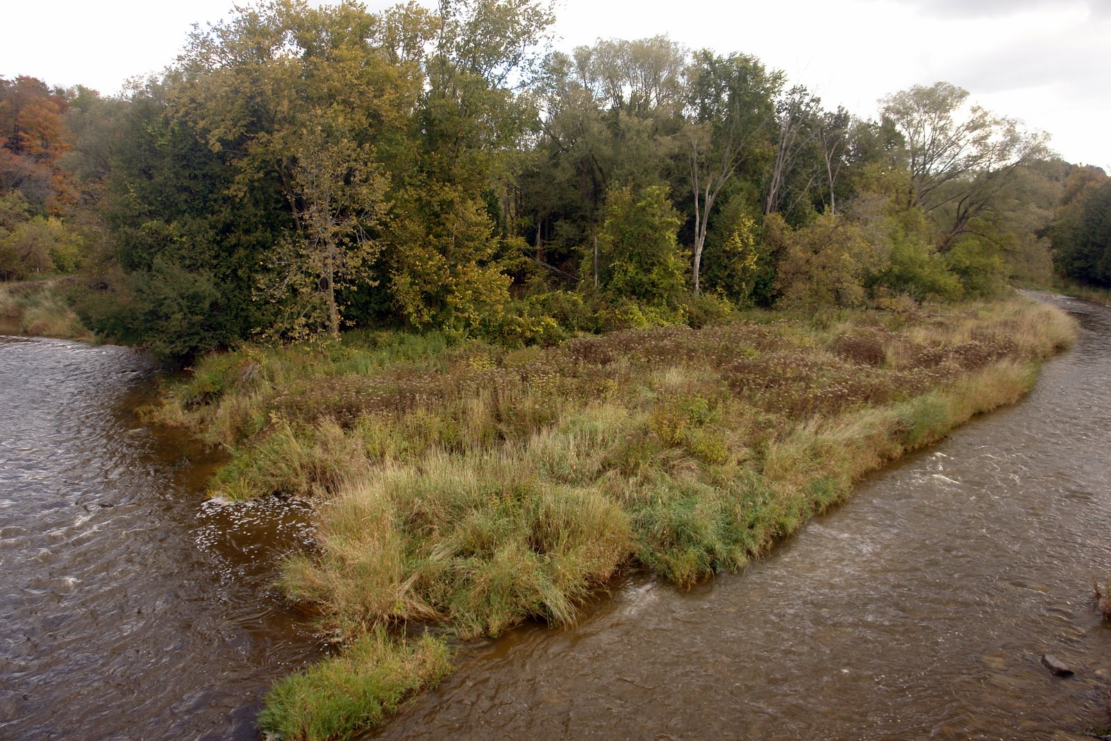
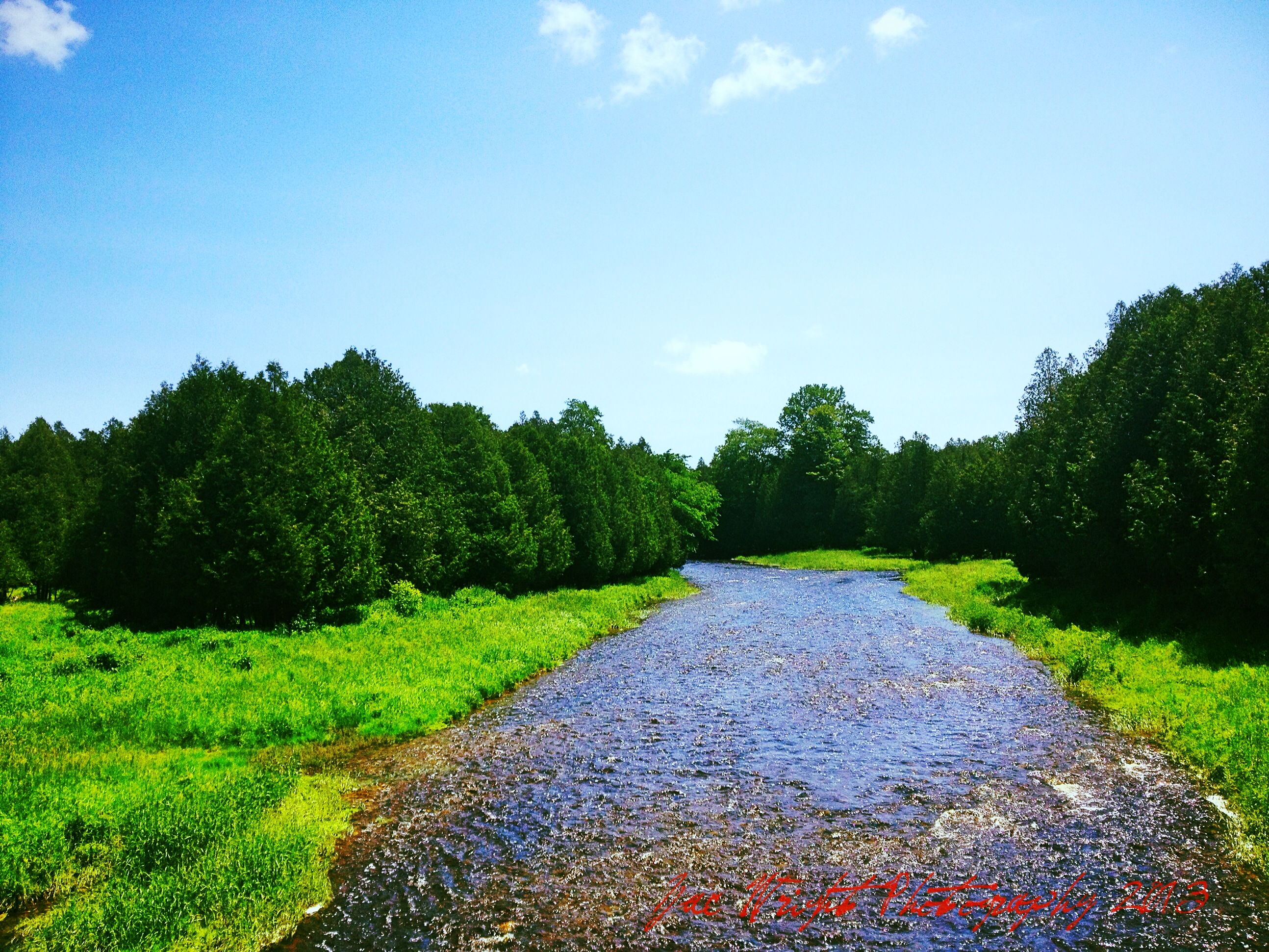
Split River
Orchardville (Holstein), Ontario
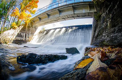
Dam View
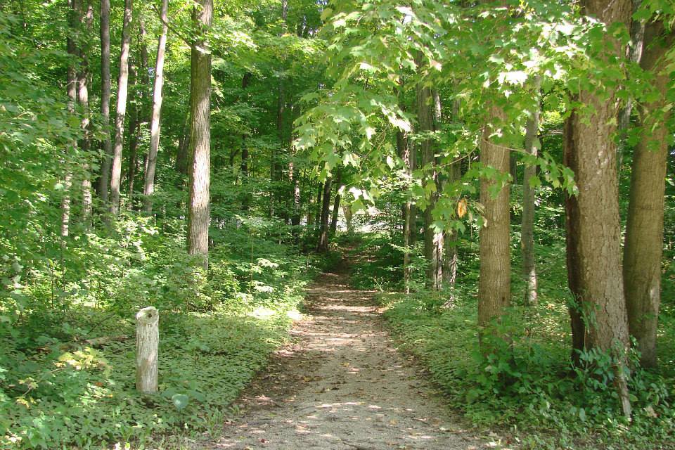
Trail to Dam
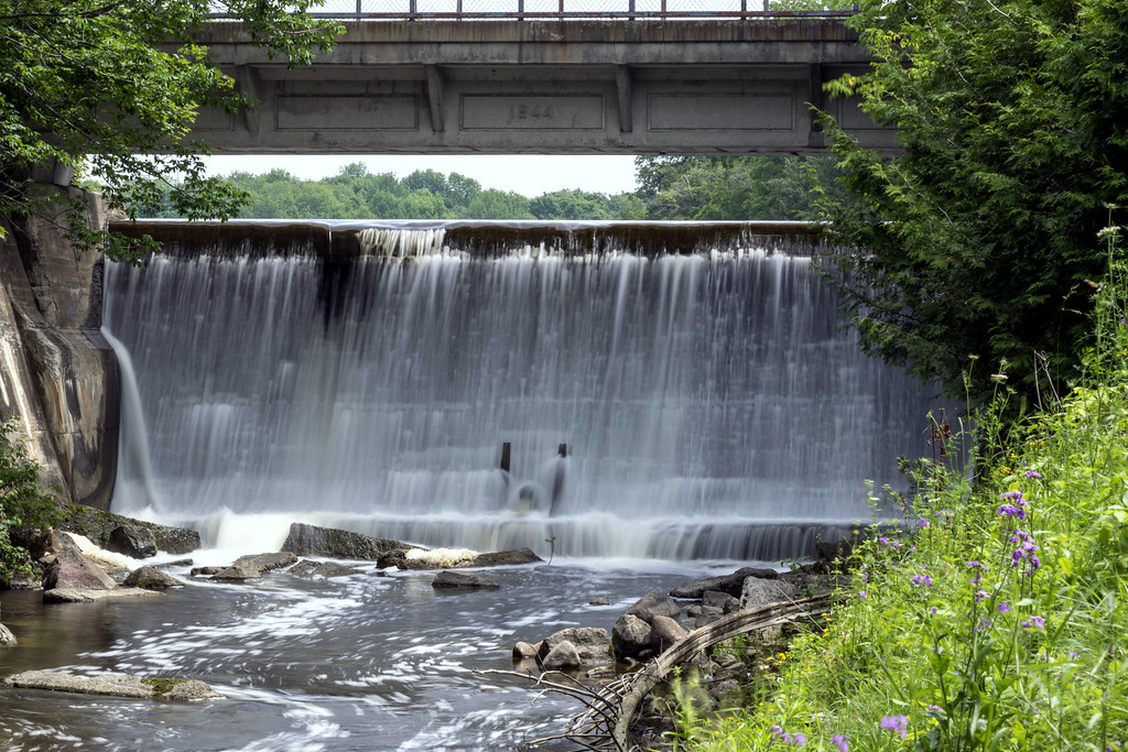
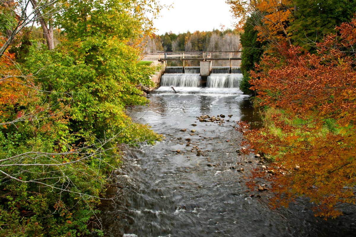
Holstein Dam
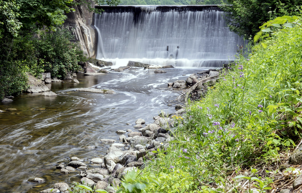
Holstein Dam
Topographic Map of Southgate SideRoad 49, Mount Forest, ON N0G 2L0, Canada
Find elevation by address:

Places near Southgate SideRoad 49, Mount Forest, ON N0G 2L0, Canada:
491523 Southgate Sideroad 49
491523 Southgate Sideroad 49
N0g 2l0
Fergus Street North
Walsh's Ida Pharmacy
Mount Forest
160 S Water St
Holstein
104519 Southgate Rd 10
104519 Southgate Rd 10
Conn
42195 Rd 71
Southgate
Kenilworth
553249 Grey Rd 23
Wilder Lake Road
Wellington North
Hopeville
304528 S Line
36 4th Ave
Recent Searches:
- Elevation of Corso Fratelli Cairoli, 35, Macerata MC, Italy
- Elevation of Tallevast Rd, Sarasota, FL, USA
- Elevation of 4th St E, Sonoma, CA, USA
- Elevation of Black Hollow Rd, Pennsdale, PA, USA
- Elevation of Oakland Ave, Williamsport, PA, USA
- Elevation of Pedrógão Grande, Portugal
- Elevation of Klee Dr, Martinsburg, WV, USA
- Elevation of Via Roma, Pieranica CR, Italy
- Elevation of Tavkvetili Mountain, Georgia
- Elevation of Hartfords Bluff Cir, Mt Pleasant, SC, USA