Elevation of Kenilworth, ON N0G 2E0, Canada
Location: Canada > Ontario > Wellington County > Wellington North >
Longitude: -80.630734
Latitude: 43.8984957
Elevation: 455m / 1493feet
Barometric Pressure: 96KPa
Elevation Map:
Satellite Map:
Related Photos:

Supercell & Wall Cloud

Spin Out Back

Car Show Crowd 1

Video Grab 7

DSB_2169 (Medium)

Our View

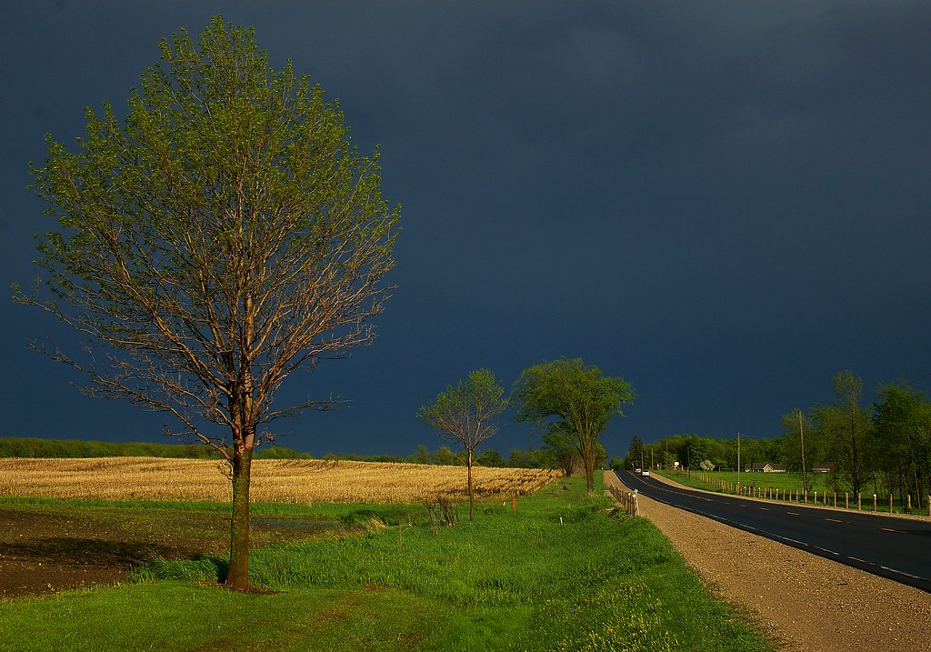
Rural scene from Southgate (xplrd)

Sideroad 47

Wall Cloud Cycling
Bad Weather Behind Us

for Blue Monday
Sun Came Out As The Storm Passed

canola field

20160620-085A7445.jpg

20140617-_E1A4555.jpg

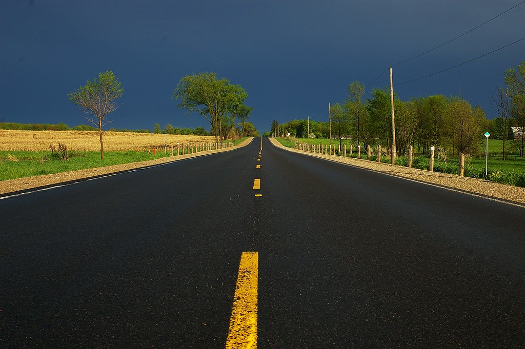
Center of Road
Topographic Map of Kenilworth, ON N0G 2E0, Canada
Find elevation by address:

Places near Kenilworth, ON N0G 2E0, Canada:
Wellington North
Petherton
36 4th Ave
Arthur
Walker Environmental - All Treat Farms
7963 Wellington County Rd 109
Conn
8256 10 Line
7506 Side Rd 7
7506 Side Rd 7
160 S Water St
Walsh's Ida Pharmacy
Mount Forest
491523 Southgate Sideroad 49
491523 Southgate Sideroad 49
491523 Southgate Sideroad 49
Fergus Street North
Wellington Rd, Palmerston, ON N0G 2P0, Canada
Wellington County
Drayton
Recent Searches:
- Elevation of Corso Fratelli Cairoli, 35, Macerata MC, Italy
- Elevation of Tallevast Rd, Sarasota, FL, USA
- Elevation of 4th St E, Sonoma, CA, USA
- Elevation of Black Hollow Rd, Pennsdale, PA, USA
- Elevation of Oakland Ave, Williamsport, PA, USA
- Elevation of Pedrógão Grande, Portugal
- Elevation of Klee Dr, Martinsburg, WV, USA
- Elevation of Via Roma, Pieranica CR, Italy
- Elevation of Tavkvetili Mountain, Georgia
- Elevation of Hartfords Bluff Cir, Mt Pleasant, SC, USA