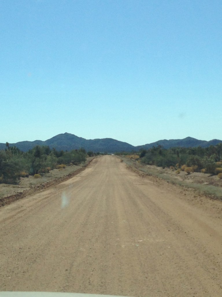
Elevation of South Tom Mix Road, S Tom Mix Rd, Yucca, AZ, USA
Location: United States > Arizona > Mohave County > Yucca >
Longitude: -113.95321
Latitude: 34.6262192
Elevation: 722m / 2369feet
Barometric Pressure: 93KPa
Elevation Map:
Satellite Map:
Related Photos:


Elf Owl (Micrathene whitneyi)_DSC9940-editCC

Desert Sunrise
Topographic Map of South Tom Mix Road, S Tom Mix Rd, Yucca, AZ, USA
Find elevation by address:

Places near South Tom Mix Road, S Tom Mix Rd, Yucca, AZ, USA:
20435 S Tortoise Rd
21811 S Javalina Rd
4312 E Cactus Wren Dr
5250 E Fireside Dr
19905 S Wild Bill Rd
2322 E Cowboy Dr
South Doc Holliday Road
14415 Ernest Rd
939 W Yellow Bird Dr
Rillito Road
Howard Road
Via Palma, Lake Havasu City, AZ, USA
16774 Lawton Rd
Havasu
Yucca
4050 Lakeview Rd
4241 Trotwood Dr
4056 Calimesa Dr
Vagabond Drive
4000 Mcculloch Blvd N
Recent Searches:
- Elevation of Corso Fratelli Cairoli, 35, Macerata MC, Italy
- Elevation of Tallevast Rd, Sarasota, FL, USA
- Elevation of 4th St E, Sonoma, CA, USA
- Elevation of Black Hollow Rd, Pennsdale, PA, USA
- Elevation of Oakland Ave, Williamsport, PA, USA
- Elevation of Pedrógão Grande, Portugal
- Elevation of Klee Dr, Martinsburg, WV, USA
- Elevation of Via Roma, Pieranica CR, Italy
- Elevation of Tavkvetili Mountain, Georgia
- Elevation of Hartfords Bluff Cir, Mt Pleasant, SC, USA