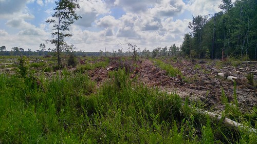
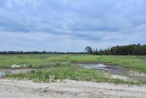
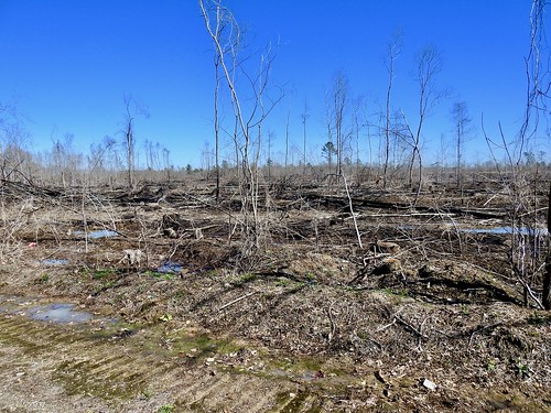
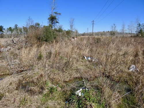
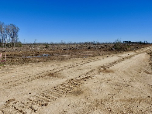
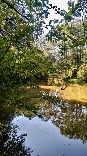
Elevation of South Range Road, S Range Rd, Livingston, LA, USA
Location: United States > Louisiana > Livingston Parish > Livingston >
Longitude: -90.752895
Latitude: 30.502382
Elevation: 12m / 39feet
Barometric Pressure: 101KPa
Related Photos:
Topographic Map of South Range Road, S Range Rd, Livingston, LA, USA
Find elevation by address:

Places near South Range Road, S Range Rd, Livingston, LA, USA:
Livingston
22058 Sonny Simeon Rd
28304 Lake Salvador Dr
16725 Blount Ln
16725 Blount Ln
16725 Blount Ln
19100 Ligo Rd
20261 Perrilloux Rd
19758 La Hwy 42
1, LA, USA
15380 E Ridge Dr
22097 La-42
22083 La-42
30155 N Corbin Rd
14810 Carrol Ave
14050 Morning Glory Ct
35355 N Corbin Rd
14143 Kaden Creek Dr
14143 Kaden Creek Dr
13755 Courtney Rd
Recent Searches:
- Elevation of Corso Fratelli Cairoli, 35, Macerata MC, Italy
- Elevation of Tallevast Rd, Sarasota, FL, USA
- Elevation of 4th St E, Sonoma, CA, USA
- Elevation of Black Hollow Rd, Pennsdale, PA, USA
- Elevation of Oakland Ave, Williamsport, PA, USA
- Elevation of Pedrógão Grande, Portugal
- Elevation of Klee Dr, Martinsburg, WV, USA
- Elevation of Via Roma, Pieranica CR, Italy
- Elevation of Tavkvetili Mountain, Georgia
- Elevation of Hartfords Bluff Cir, Mt Pleasant, SC, USA


