Elevation of South Mount Zion Church Road, S Mt Zion Church Rd, Indiana, USA
Location: United States > Indiana > Washington County > Pierce Township > New Pekin >
Longitude: -85.939650
Latitude: 38.5487292
Elevation: 262m / 860feet
Barometric Pressure: 98KPa
Elevation Map:
Satellite Map:
Related Photos:

Is this thing on

Nice View of the Tracks

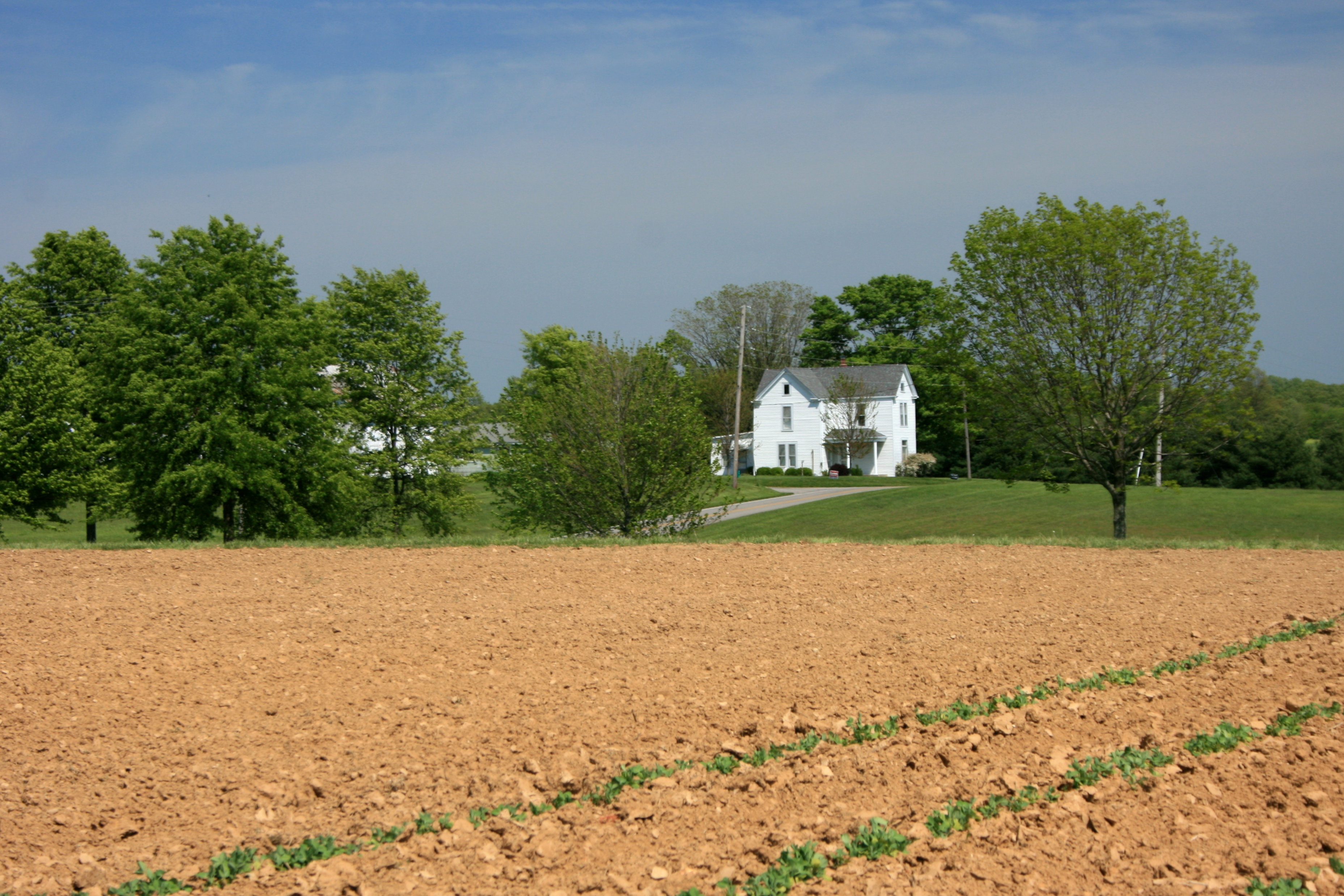
Barn in Springtime
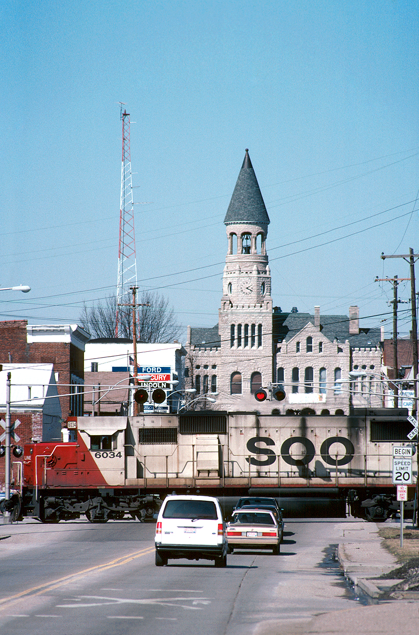
Northbound at Salem
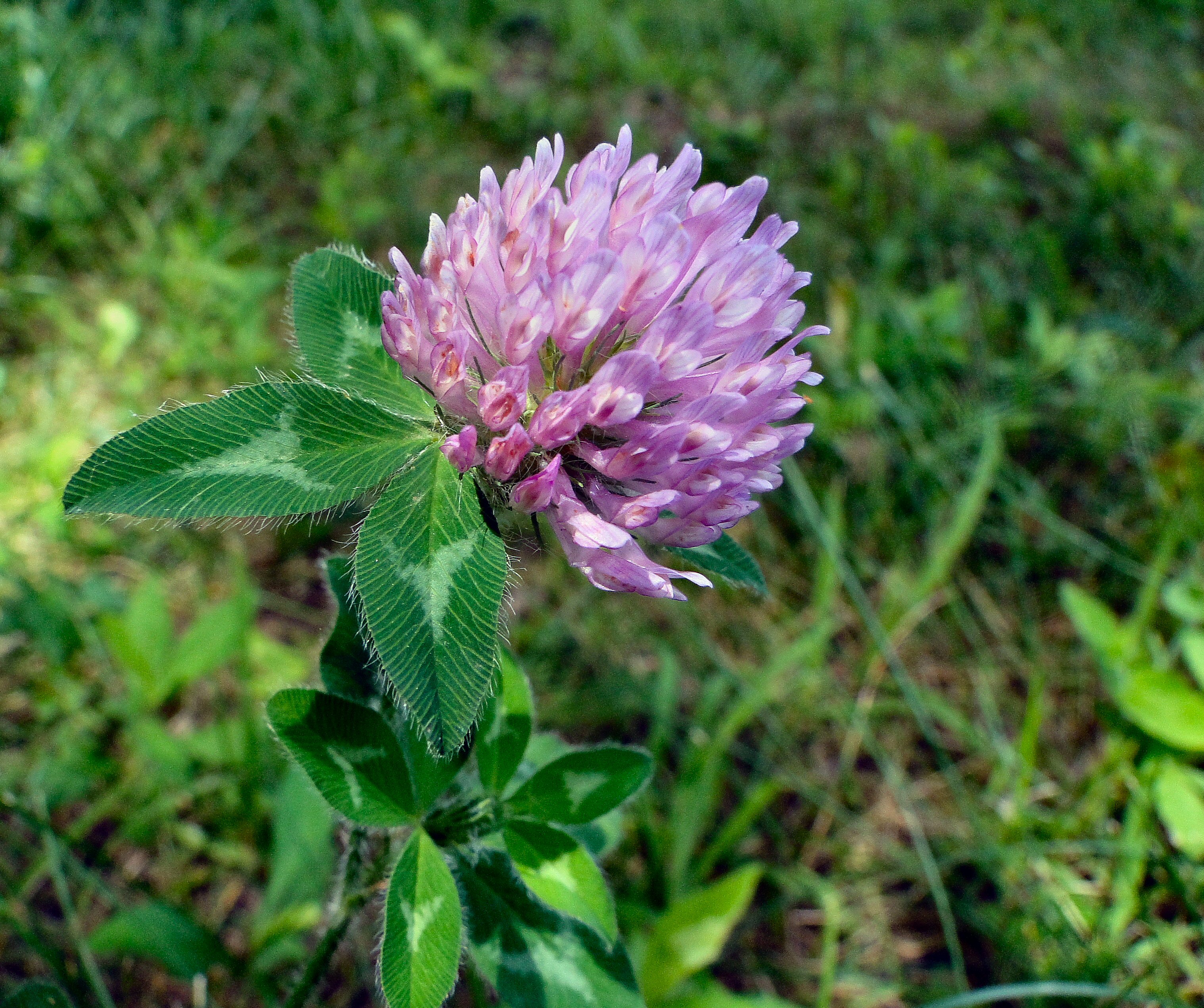
Beauty is All Around...

DSC-HX1 Panorama

Southbound 240 south of Borden

Tiny Daily Life

Overhead view of Salem, Indiana, with Indiana State Road 135 (center, bottom to top) and State Road 60 (middle left to bottom right) as well as Salem Municipal Airport and Salem Speedway (near left middle)

wood township gable front and wing house

View from the Fire Tower

What a View

A Golden Road in Washington County, IN

In the Wee Small Hours of the Morning

Joe Hurber Corn Field

LIRC 223, Henryville, IN

Beck's Mill

Clark State Forest

franklin cemetery, salem, indiana

Pumpkin Patch at Joe Hurber Farms

Late Afternoon at Joe Hurber Farmes
Rural America

Cedar Waxwings in Eastern Red Cedar

Bob-O-Link 6-17-10 Washinton Co.

Photographers-in-Louisville-ky-138

All Photos-3120
Monroe Township, Indiana - Fossils at Henryville Welcome Centre, I-65 SB

Common Yellowthroat female - Scott County, IN

Deam Lake(l0gv)

Clark State Forest VI

Clark State Forest

Fall on the Water
Topographic Map of South Mount Zion Church Road, S Mt Zion Church Rd, Indiana, USA
Find elevation by address:

Places near South Mount Zion Church Road, S Mt Zion Church Rd, Indiana, USA:
11911 E Daisy Hill Rd
11911 E Daisy Hill Rd
Daisy Hill Rd, Borden, IN, USA
Canton-South Boston Rd, Salem, IN, USA
Franklin Township
Polk Township
5289 E Farabee Rd
IN-, New Pekin, IN, USA
E Farabee Rd, Salem, IN, USA
E 5th St, New Pekin, IN, USA
New Pekin
E Charles St, New Pekin, IN, USA
1895 N New Salem Finley Knob Rd
S Harristown Rd, Salem, IN, USA
E Old 56, Salem, IN, USA
N Canton Rd S, Salem, IN, USA
Finley Township
S Bloomington Trail Rd, Scottsburg, IN, USA
Pierce Township
E Old, Salem, IN, USA
Recent Searches:
- Elevation of Corso Fratelli Cairoli, 35, Macerata MC, Italy
- Elevation of Tallevast Rd, Sarasota, FL, USA
- Elevation of 4th St E, Sonoma, CA, USA
- Elevation of Black Hollow Rd, Pennsdale, PA, USA
- Elevation of Oakland Ave, Williamsport, PA, USA
- Elevation of Pedrógão Grande, Portugal
- Elevation of Klee Dr, Martinsburg, WV, USA
- Elevation of Via Roma, Pieranica CR, Italy
- Elevation of Tavkvetili Mountain, Georgia
- Elevation of Hartfords Bluff Cir, Mt Pleasant, SC, USA